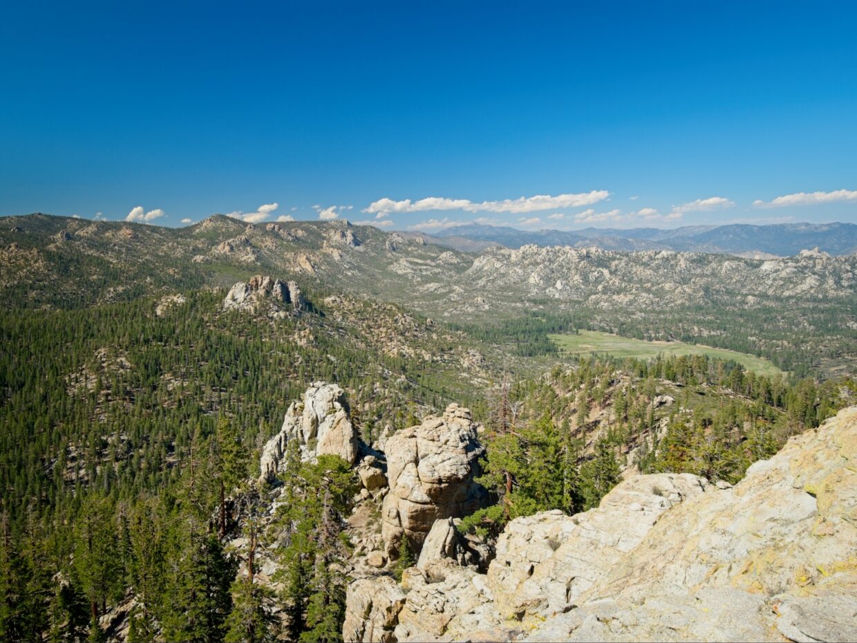
I’ve been interested in visiting the Domeland Wilderness for a few years, but I’d forgotten about it until I got a glimpse of it from Owen’s Peak a few weeks ago. There are a few peaks on the Sierra Peaks Section list, so I planned a little backpacking trip that would allow me to see some of the wilderness while bagging the peaks. Despite being fairly close to LA “as the crow flies,” roads are few and far between, so it’s a long drive!
Trip Planning
Specs: 30 mi | +7500 / -8500 ft | 3 days, 2 nights
Difficulty: Class 3 [ratings]
Location: Sequoia National Forest, California | Home of Tübatulabal people | View on Map
Route: Begin at the South Manter Trailhead and hike east toward Manter Meadow. You can leave the trail wherever you like to hike cross-country to Taylor Dome; the west ridge goes at class 3 and the north face at class 4. Back at the trail, continue east to Manter Meadow. The best camping is at the east side where several creeks converge.
To reach Rockhouse Peak, follow the faint trail east, generally staying near the creek. Leave the trail near “Rockhouse Saddle” and hike north to the peak. The east face is a class 3 scramble, and the north face goes at class 2. Retrace your steps to return to Manter Meadow.
Finally, Sirretta Peak is reached via a use trail from Sirretta Pass. A series of cairns mark this trail, but you can’t really go wrong as long as you hike uphill from the pass.
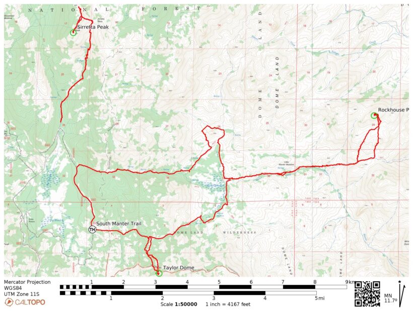
Permits & Regulations: Wilderness permits are not required to hike or camp in the Domelands, but you do need a campfire permit for stove use. Visit the Domeland Wilderness website for more information. As always, remember to leave no trace!
Resources: Besides the wilderness website linked above, I didn’t find many “official” resources. Call or stop in to the Kernville ranger station to get the most recent forest service info.
Taylor Dome
Friday, 15 May, 2026 | 7 mi | +1000 / -2000 ft | View on Map
I leave LA bright and early, making it out of the valley before traffic has a chance to clog the streets. I follow the Kern River through its winding canyon, eventually exiting the tight confines into the wide valley that holds Lake Isabella. I stop at a cafe in Kernville for a sandwich, and then visit the ranger station to buy a paper map of the Domeland Wilderness and to ask the rangers about the road conditions. They assure me the road is clear of snow and easily passable, so I head out from town.
Once again following the Kern River through a winding canyon, I pass dozens of campsites and lots of river rafters navigating the whitewater. After driving for about an hour, I leave the main road and begin up Sherman Pass Road, a 1.5-lane road that climbs steeply up the mountainside. A few minutes later, I leave that road for an even narrower track, Forest Route 22S05. The pavement transitions to dirt at Poison Meadow Creek, but the road is well-graded and free of large rocks.
I arrive at the South Manter Trailhead at about 2 and begin hiking right away. In a welcome but unusual turn of events, the trail descends from the trailhead. About 1.3 miles into the hike, I stash my backpack behind some large rocks and leave the trail to hike up to Taylor Dome. The off-trail hiking isn’t too hard — the terrain is open and free of brush, for the most part — but it is steep.
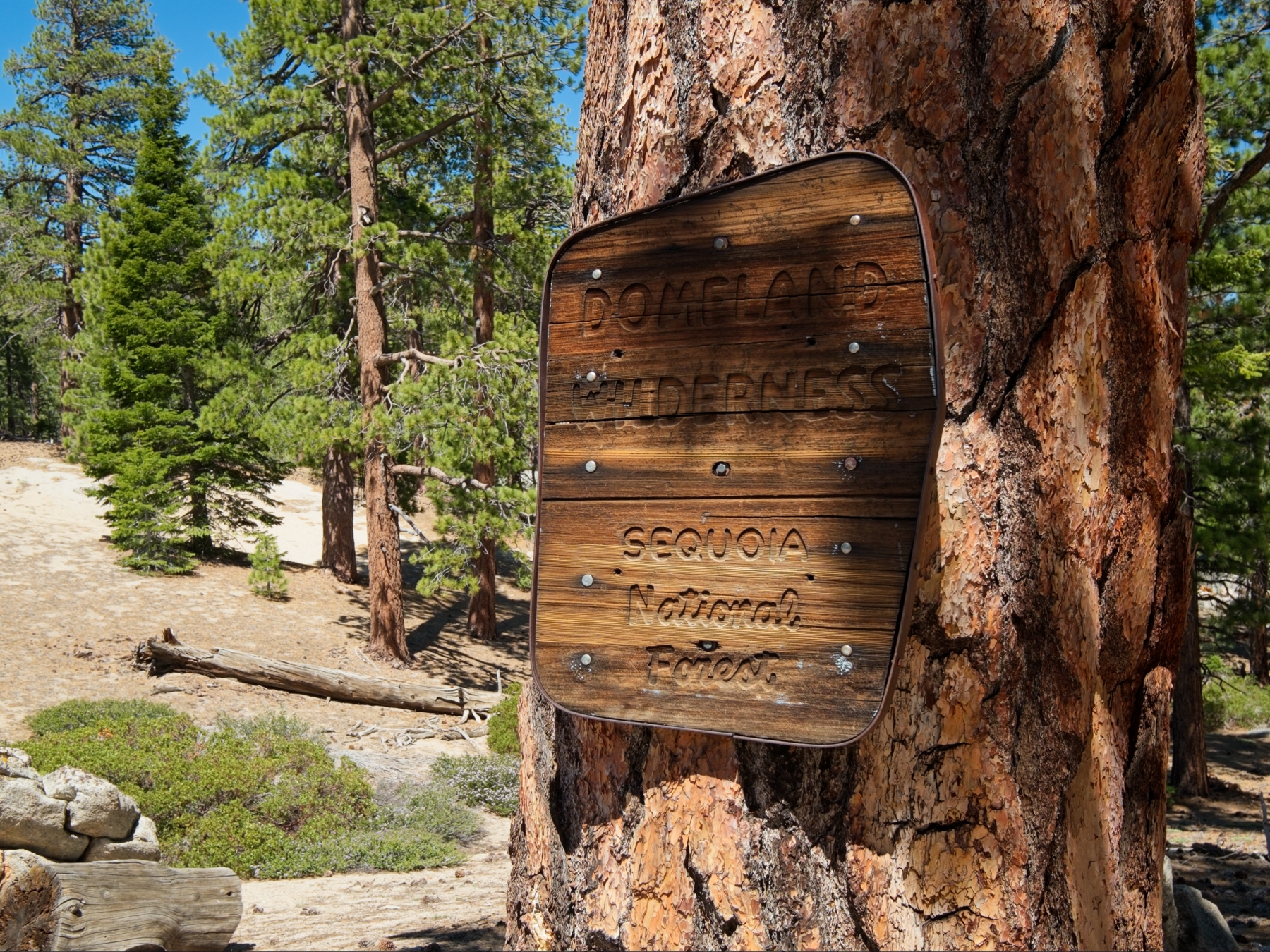
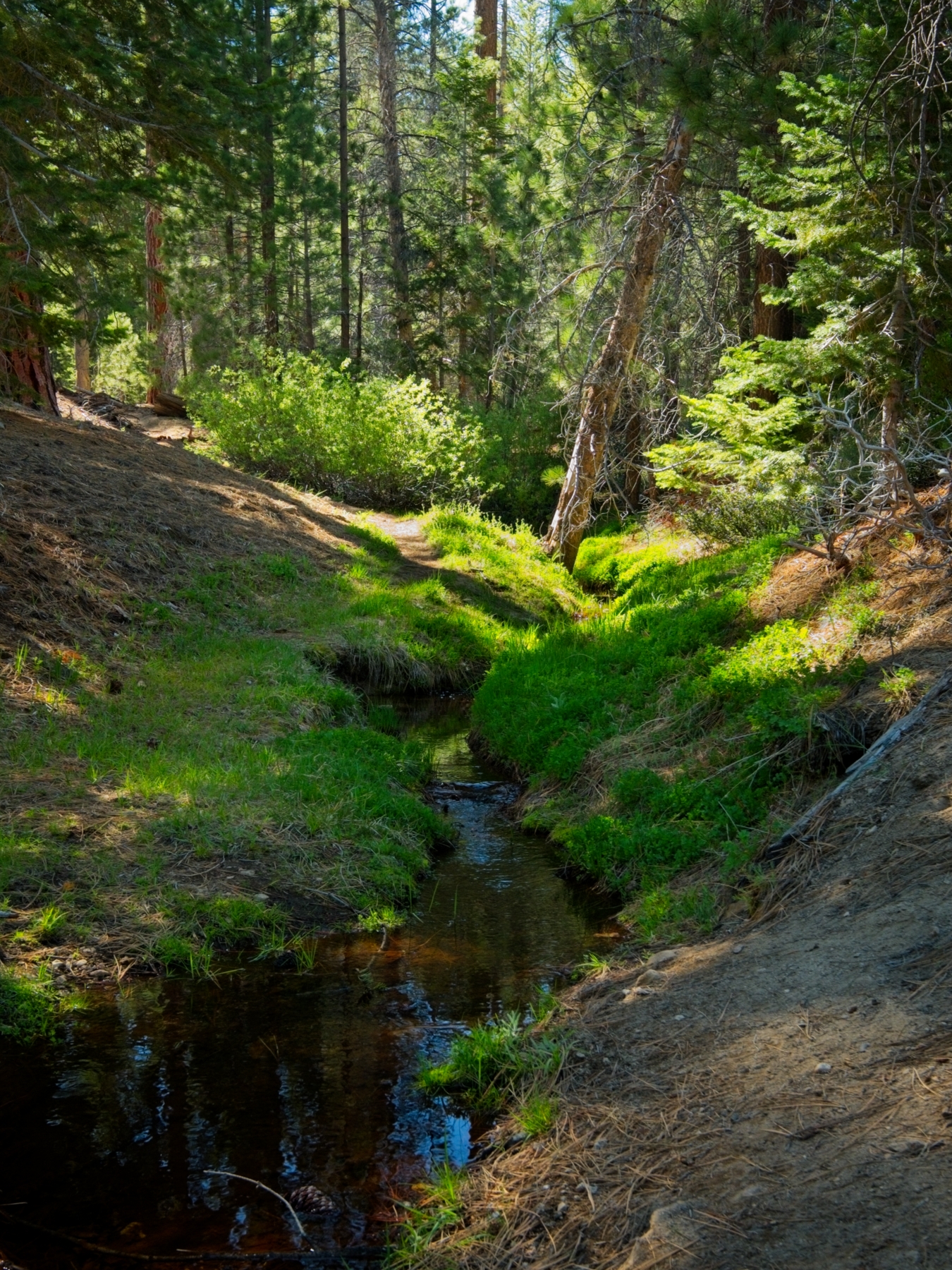
I trudge uphill, sweating plenty in the warm afternoon sun, until I reach the ridgetop. I briefly consider scrambling up the 4th-class north face of the dome, but that’s more risk than I’m comfortable with on a solo trip, so I hike around the base of the dome to the east face to the 3rd-class route. The scramble up proves easy enough and I enjoy taking in the 360-degree view from the summit! There are dozens and dozens of granite outcroppings scattered across the landscape. I think I can make out Rockhouse Dome out to the east, though it’s hard to say for sure; that’s where I’m heading tomorrow! I can definitely see Manter Meadow though — I’ll be camping beside that meadow tonight.
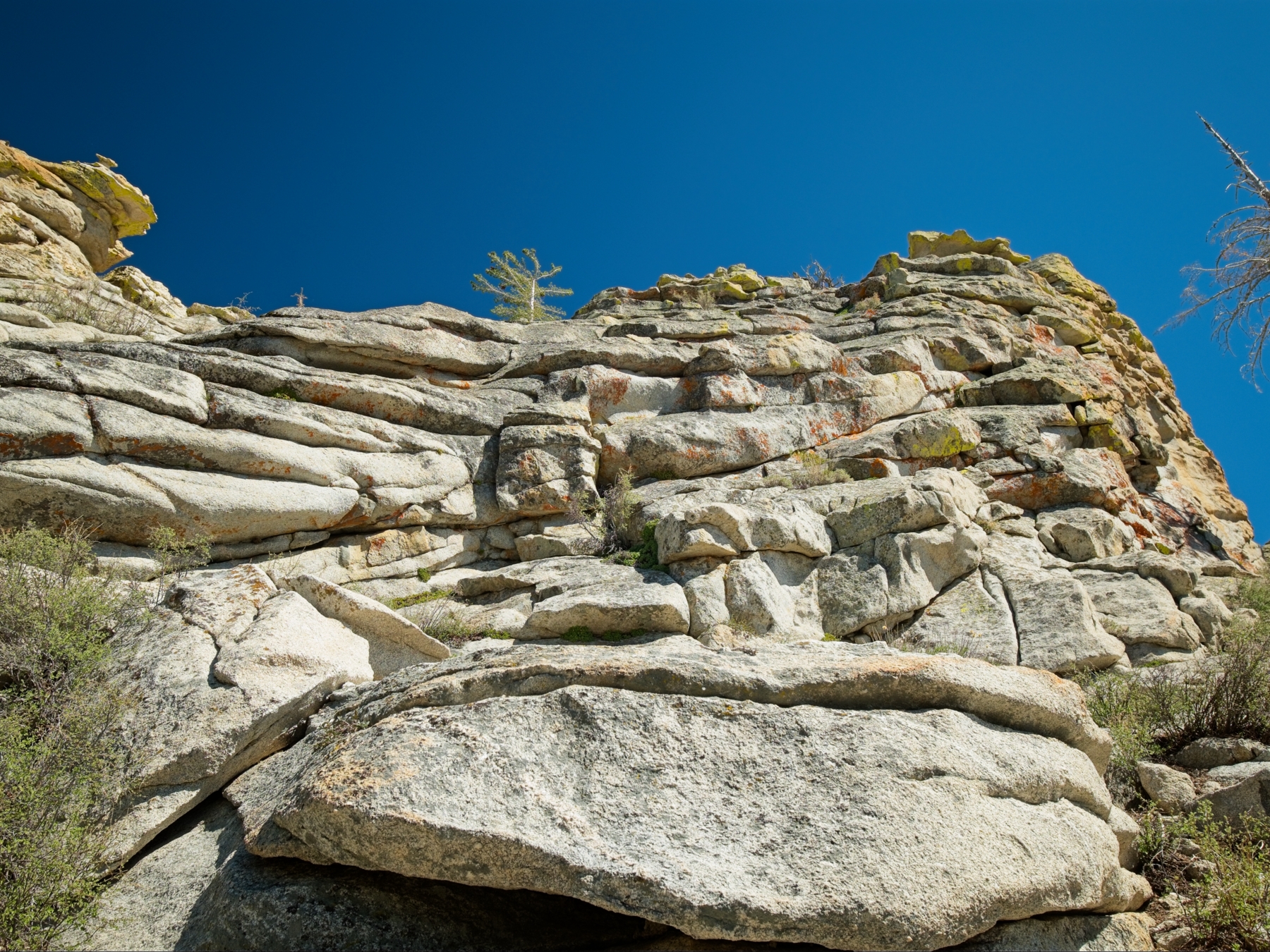
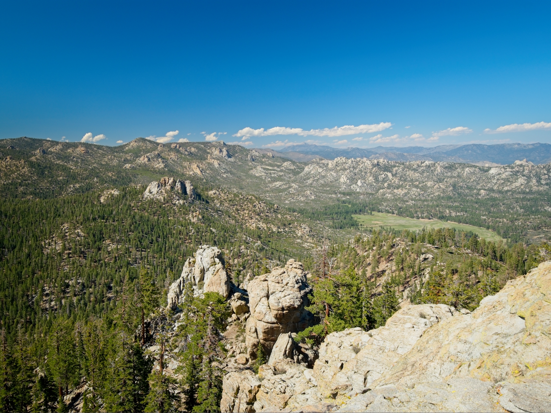
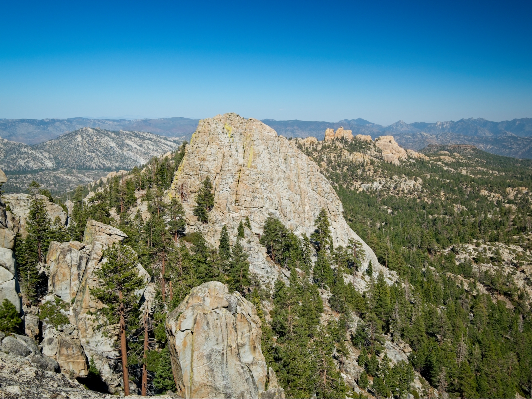
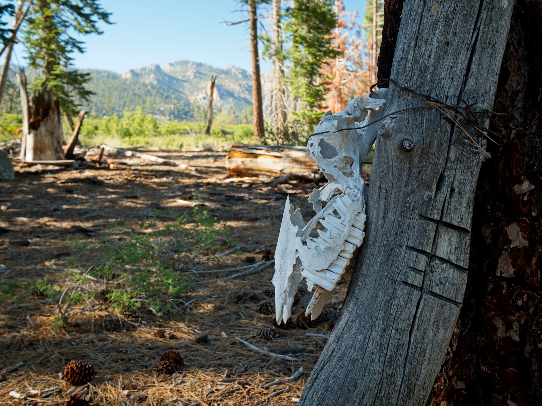
After admiring the views, I scramble back down from the summit and hike down the slope back to where I stashed my backpack. I reshuffle my gear and then continue down the trail. The trail continues its descent, eventually leveling out beside Manter Meadow. I’m surprised to find a considerable amount of cow pasture supplies: fence posts, tangled piles of barbed wire, and even a few gates. I don’t see any signs of cows though — no hoof prints in the soft ground, and no cow pies — so maybe the meadow isn’t used as pasture anymore?
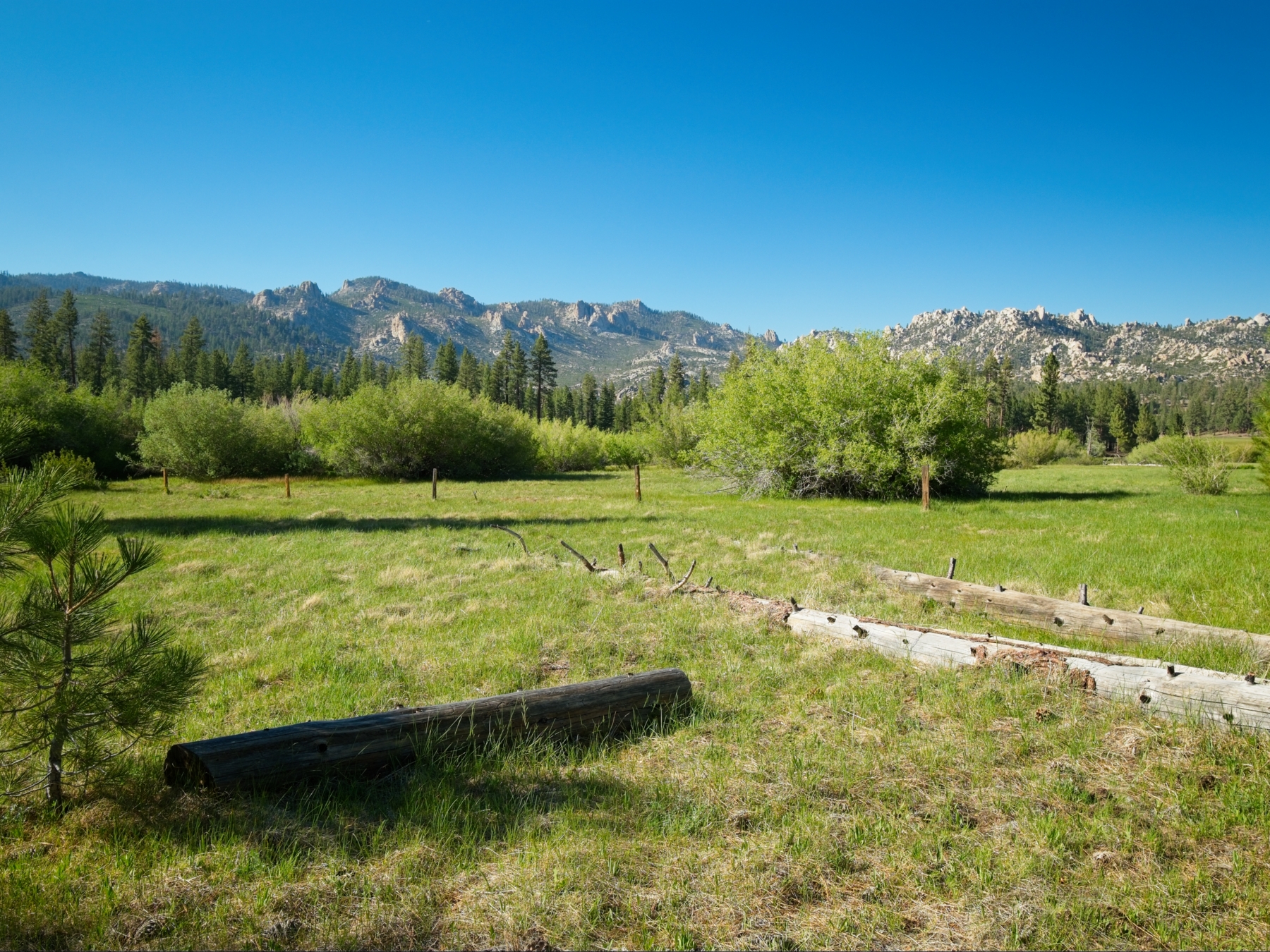
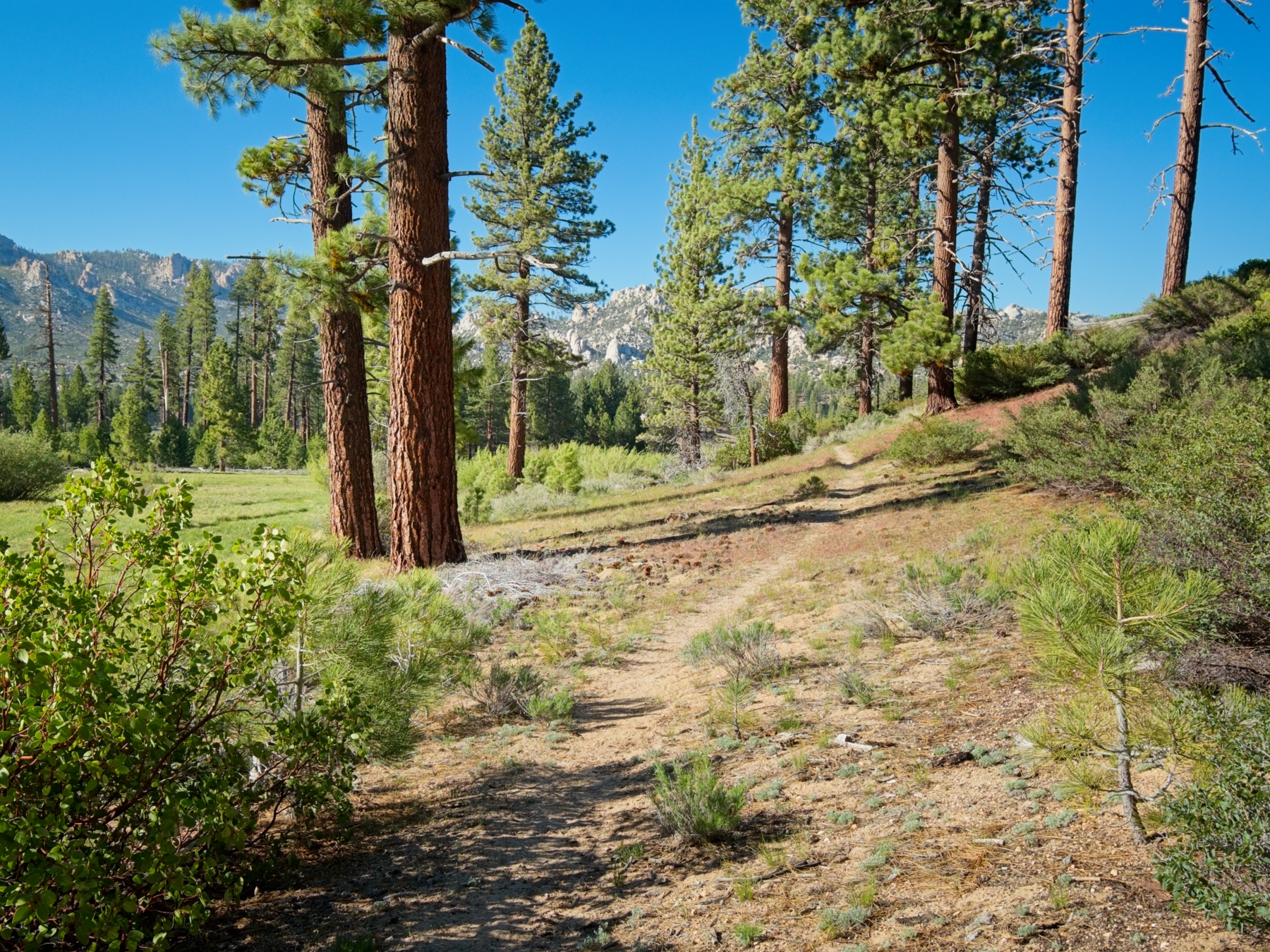
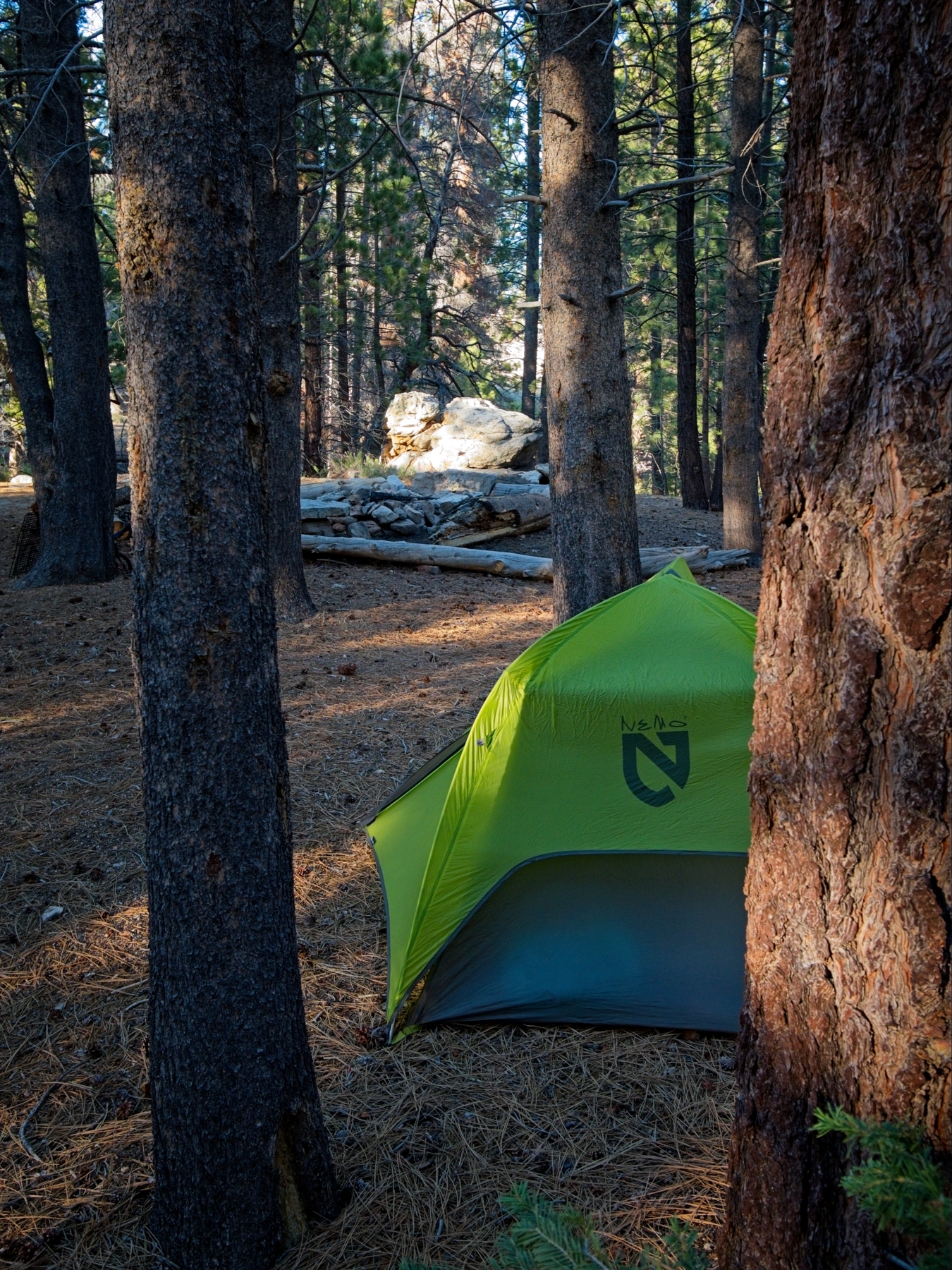
I wander around the quiet meadow until I reach the confluence of the creeks running through the meadow. Following them a few hundred feet downstream, I find several well-established campsites, complete with log benches and stone campfire rings. A stiff breeze blows through the trees, so I take some time to find a spot for my tent with some modicum of shelter.

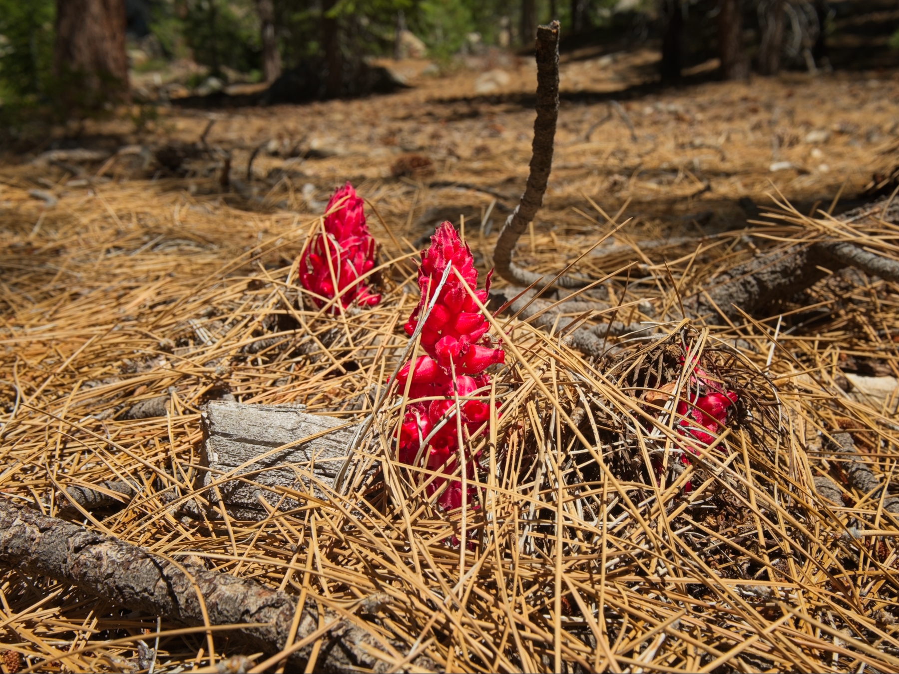
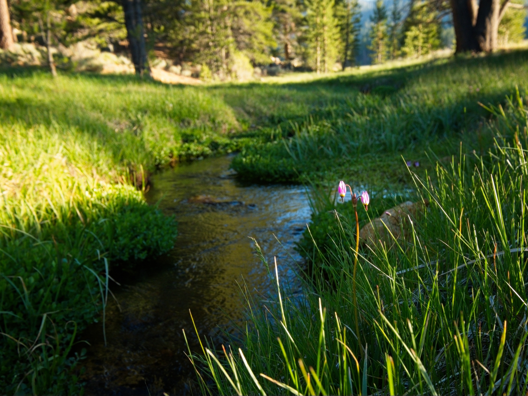
Once I have the tent put up, I take a short nap and then make a pot of rice and beans for dinner. I wander around in the evening light to take some photos of the creek, the flowers, and the meadow. Then I crawl back into the tent; I read for a little while and drift off to sleep.
Rockhouse Peak
Saturday, 16 May, 2026 | 16 mi | +/- 4000 ft | View on Map
I wake up around 6 after a fitful night’s sleep; a nearby pack of coyotes woke me up a few times with their howls. I eat some breakfast and then pack a day bag for my hike over to Rockhouse Dome — a 9-mile round trip. I’m on the trail at 7:15, enjoying the lighter pack and strolling through the woods. This particular stretch of the path doesn’t seem to be very well-traveled or maintained and I lose sight of it several times. Luckily, the route isn’t difficult; I’m just following the creek down its drainage. Besides a few brambly bits, I enjoy the walk, spotting a few deer and some hawks along the way.
After a few miles of easy downhill walking, the trail turns uphill and I begin climbing toward a saddle that sits below Rockhouse Dome; “rockhouse saddle,” if you will. The trail is slightly more clear as it switches back up the hillside and I’m grateful to not be bushwhacking through the chaparral. Before long I reach the saddle and leave the trail, scrambling up a short, steep hill through oaks and over granite slabs and boulders. On my way up I pause to catch my breath and spot a black bear galloping through the chaparral below, heading away from me.
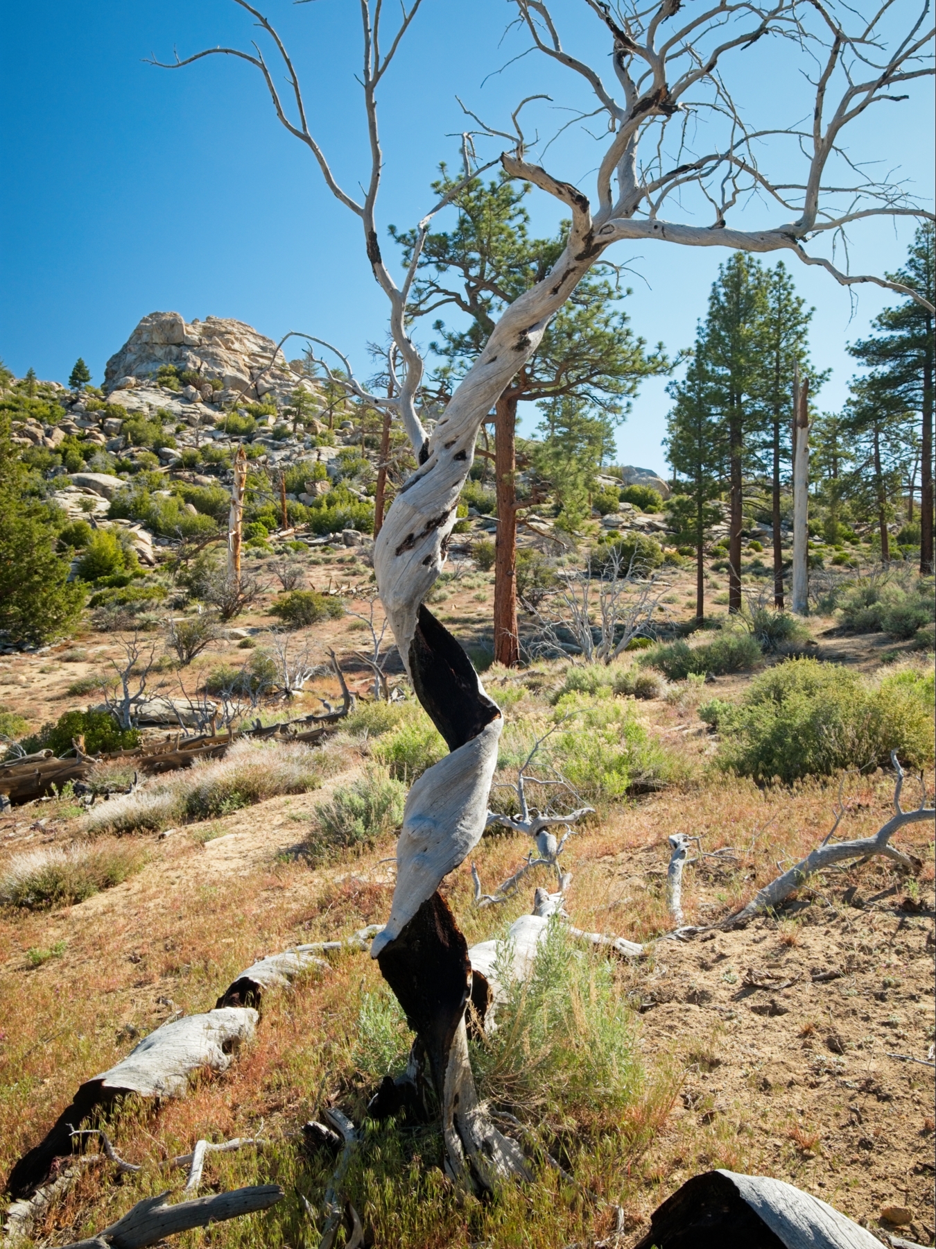
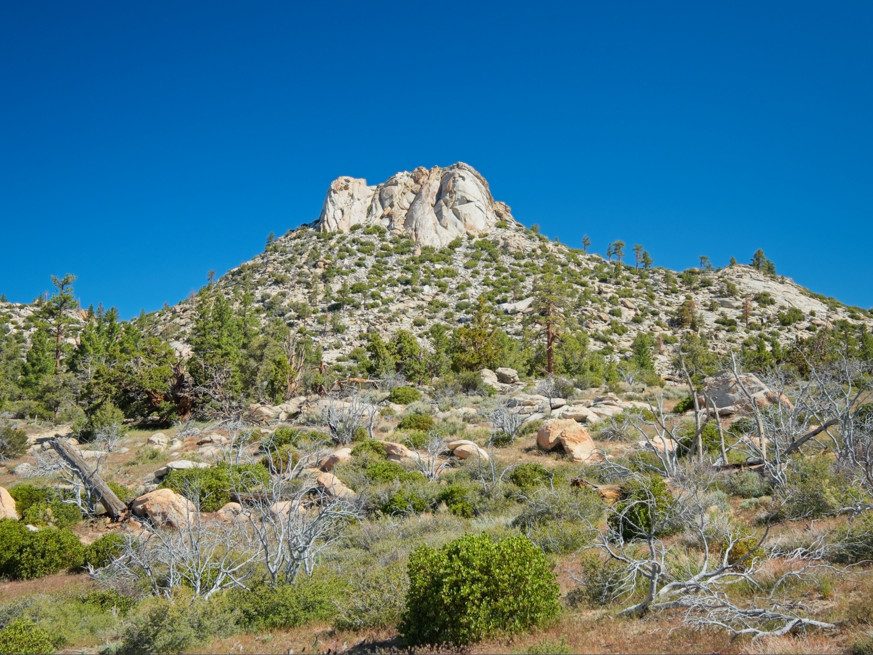
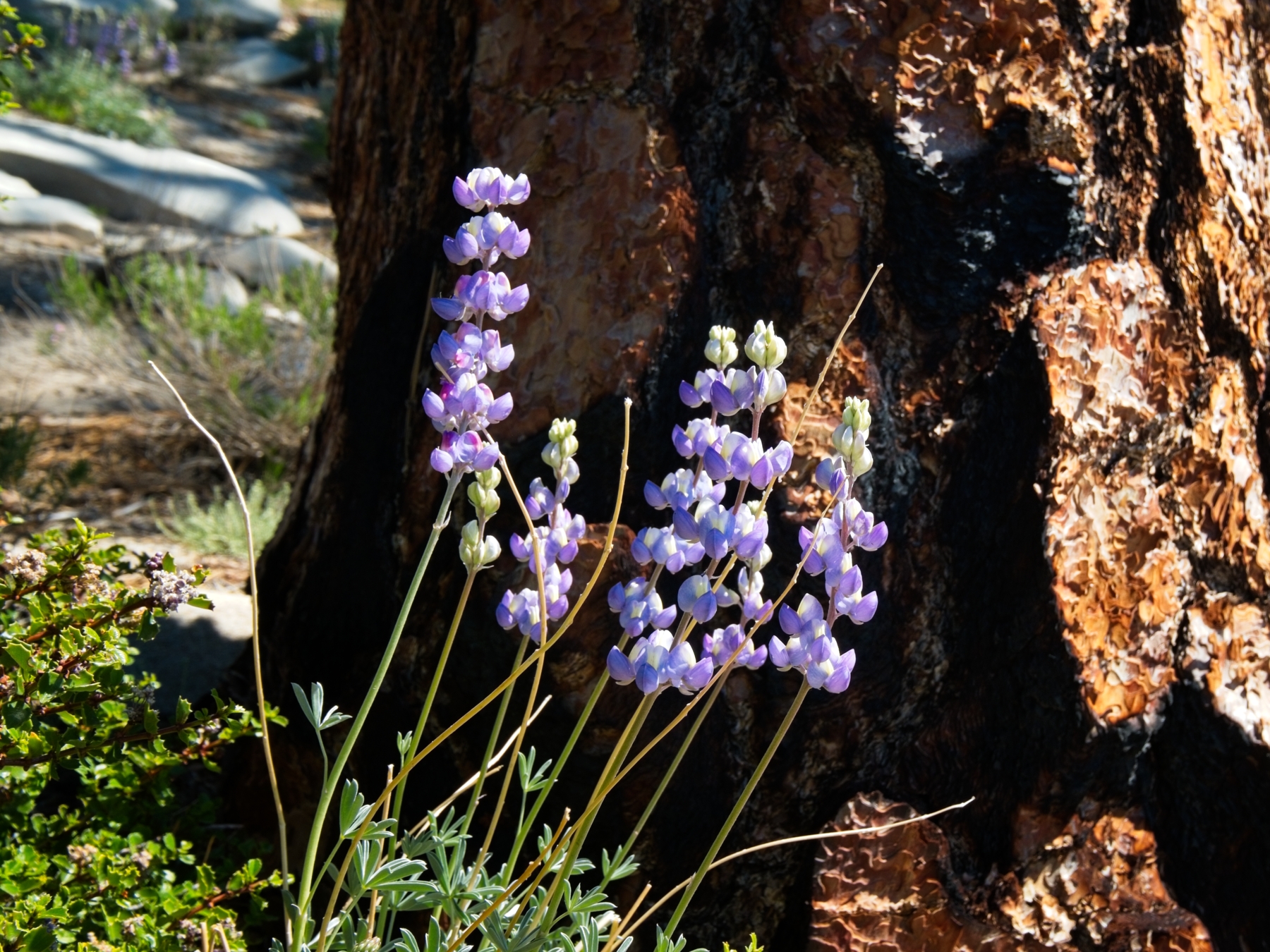
Once I reach the top of the hill I emerge from the oaks into an open plateau. I make a beeline for Rockhouse Peak, striding through manzanita and juniper trees to the talus slopes below the granite dome. It doesn’t take me long to reach the foot of the east face where there is allegedly a 3rd-class route to the top. It’s a spicy climb but the granite is heavily featured, covered in cracks and chicken heads, so there’s no shortage of things to hold onto and step on. I make it to the top without any trouble and sit down next to the summit register. I recognize lots of names in there from previous summit registers, and many of them I’ve met!
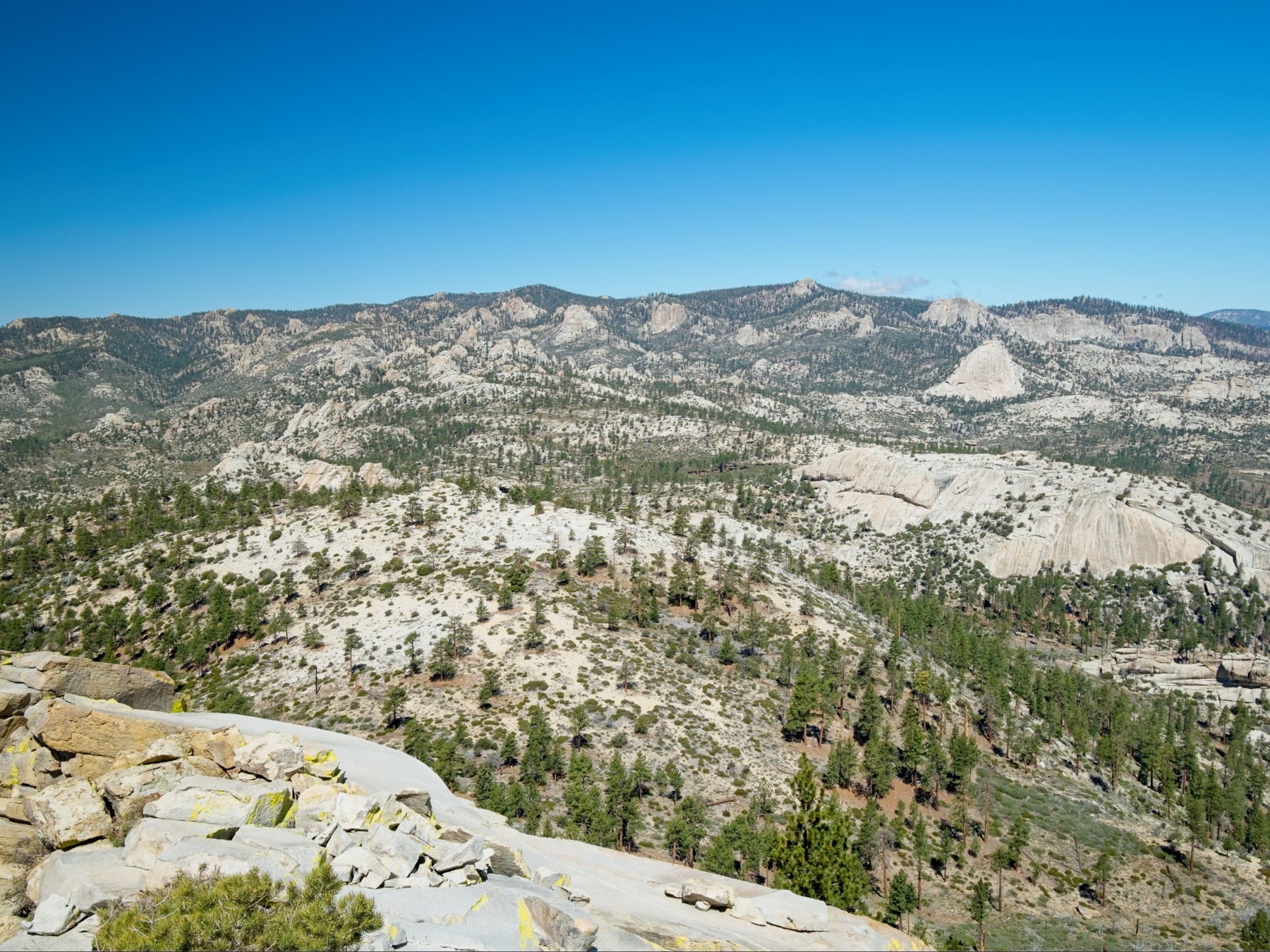
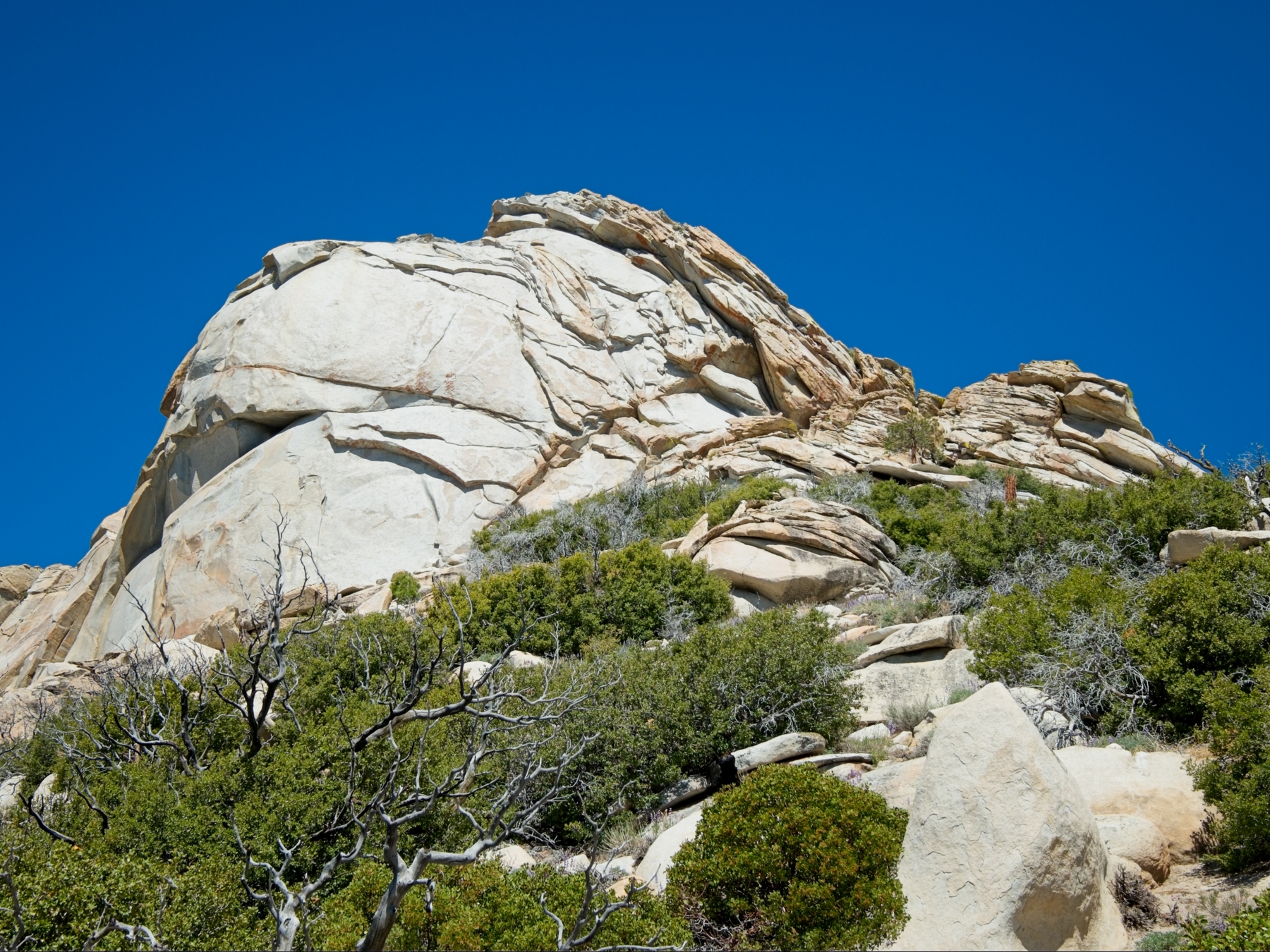
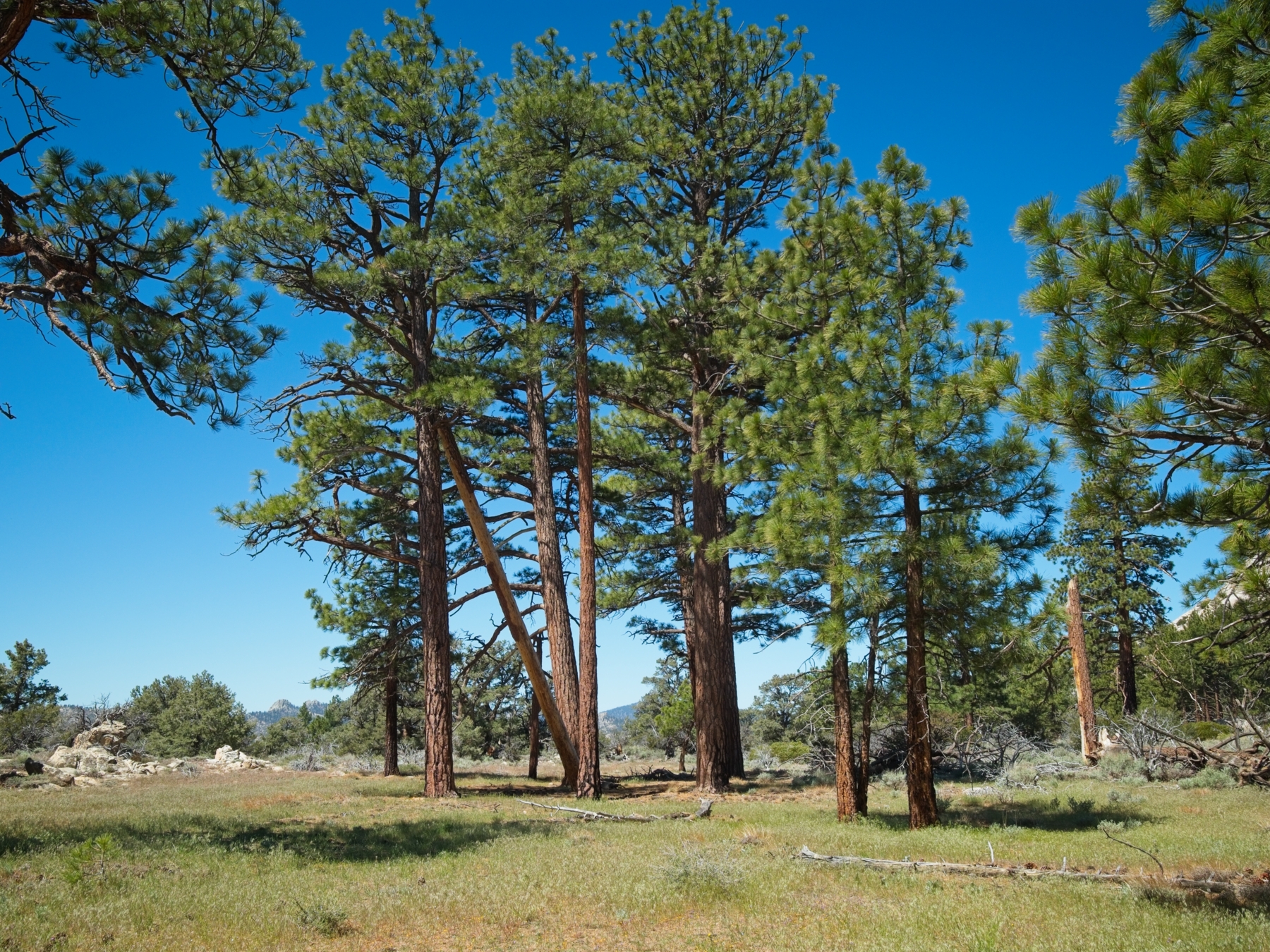
After resting and admiring views for a while, I shoulder my pack and descend via the 2nd-class north face. It’s easy enough, and a short traverse back to the east face returns me to my ascent route. Rather than retrace my steps completely, I hike west, following a gradually descending slope into a creek drainage. I’m pleasantly surprised to find that it’s easy going along the creek! No thick, choking willows, no cliffs to navigate around, and hardly any water.
I rejoin the trail and follow the switchbacks downhill. I’m able to stay on the trail more easily on the way back, and return to my campsite beside Manter Meadow by 12:30. Ready for a break, I sit down beside the creek and soak my feet in the cold water while munching on lunch. With half the day still ahead of me, I have to decide how I want to spend it. Ideally, I’d like to hike cross country up the mountains on the west side of Manter Meadow and camp somewhere below Sirretta Peak, my objective for tomorrow. Topographically, it seems completely feasible, but I’m not sure about the brush; it may be a heinous bushwhack. Another option is to hike about 7 miles north up Woodpecker Trail to Trout Creek and then, rounding the tip of this mountain chain, hike another 7 miles south on the Sirretta Trail to reach a campsite below the peak. And finally, I could just hike back to my car, either via the South Manter Trail (my way in) or on the Deadwood Trail.
I decide to embrace adventure and try the cross-country route and, once I’ve finished eating, hike north around the east side of Manter Meadow. There are many remnants of fences and what look like horse or cattle camps beside the meadow, but still very little evidence that they’ve been used in the past several years. Just past the northern tip of the meadow, I reach a small creek and leave the trail, following the creek upstream through thick brush. It’s slow going; I reach several dead ends and am forced to retrace my steps and try different directions to make progress through the plants. After about half an hour of pushing my way through the brush and with no relief in sight, I give up and turn back toward the trail. Between the afternoon heat and the prickly plants, I’m in no mood to attempt the 14-mile northern loop, so I head for the Deadwood Trail that will return me to my car.
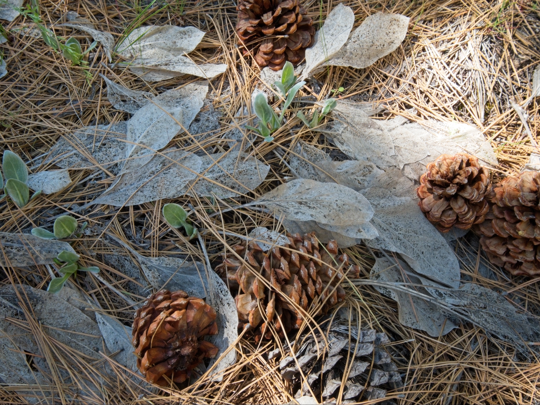
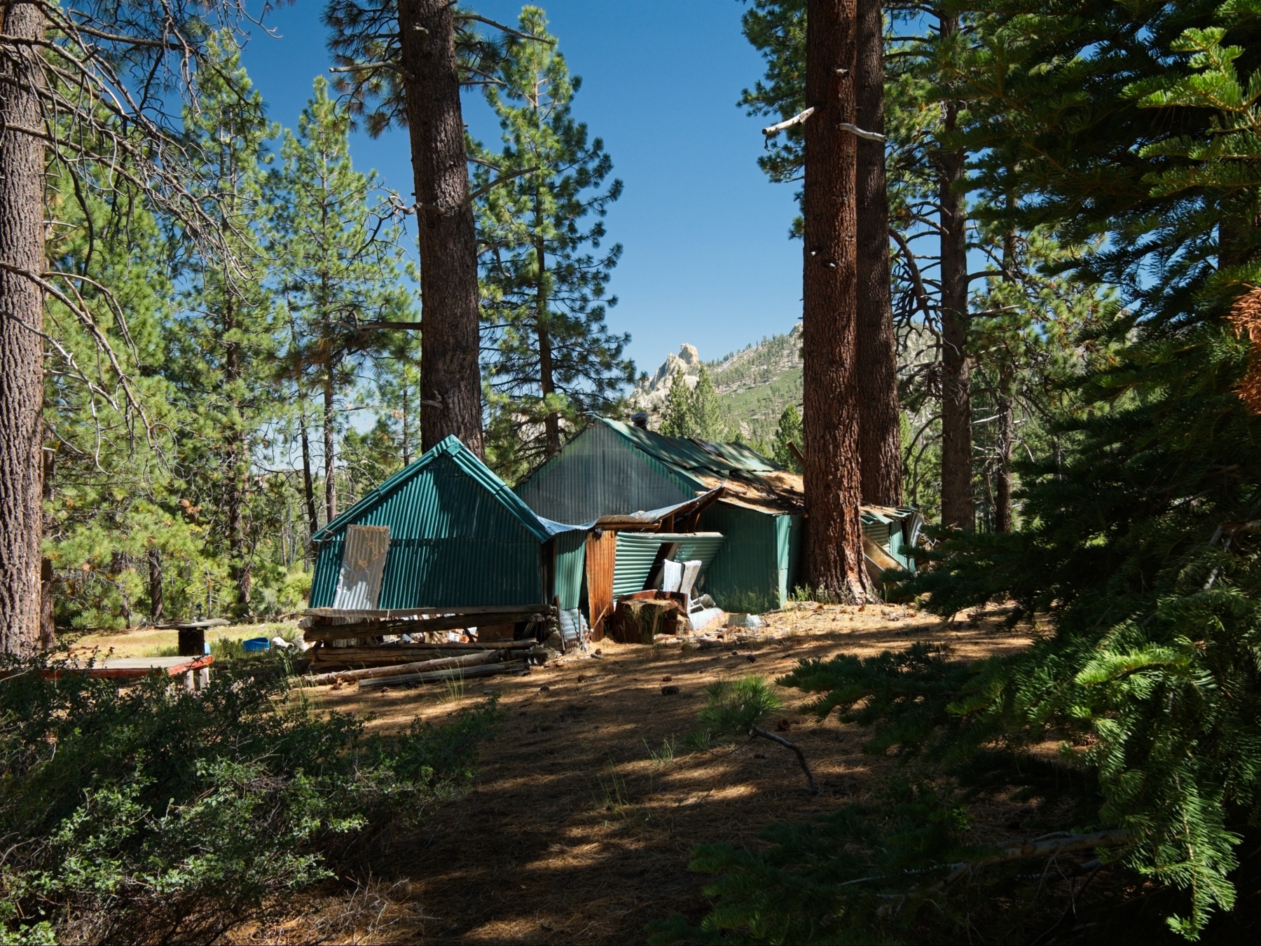
By 2:45, I’m back on the beaten path and walk around the northwest side of Manter Meadow. I pass another disintegrating shelter, this time a full-fledged cabin, and then leave the meadow behind and begin climbing up the hill back toward Big Meadow. The Deadwood Trail wastes no time gaining altitude, and I’m completely worn out by the time I reach the road at 4:30. In retrospect, the South Manter Trail is likely the easiest way in and out of Manter Meadow; it’s much flatter!
From the Deadwood Trail, I walk about 1.5 miles back to my car and happily toss my backpack into the trunk. I move the car to a pullout where I can spend the night and then change into comfier, cleaner clothes and relax. Although it would have been cool to complete that cross-country trek, the hike out was more than enough work for me and I’m content to spend the rest of the evening relaxing.
Sirretta Peak
Sunday, 17 May, 2026 | 7 mi | +/- 2500 ft | View on Map
Thanks to an early bedtime and a good night’s sleep, I’m up at 5:30 this morning. It’s a brisk 34 degrees out, so I’m happy to eat a pot of hot oatmeal. Once I’ve eaten and reshuffled things in the car, I drive a few miles to the north end of Big Meadow and park at the Sirretta Trail. I pull in between dozens of cars and people stirring from their tents, which is a bit jarring after two days of seeing zero other people. I guess I’ll see them on the trail!
Judging from the tire prints in the dirt, the Sirretta Trail appears to be a popular dirt bike and mountain bike path. There aren’t any on the trail at the moment, for which I’m grateful, but I stay alert so that I don’t get run over. The trail climbs steadily uphill, never too steeply, which is a nice change from yesterday afternoon’s trek on the Deadwood Trail. The mountains here remind me a lot of southern California: sand and scattered granite boulders with manzanita in between. The foxtail pines are a distinctly Sierra feature, however.
I reach Sirretta Pass at 11:45 and leave the official trail for a roughly maintained use trail that climbs straight up the side of the mountain. After a steep 300 feet, I reach the flat, forested plateau between Sirretta Peak and Peak 9984. I walk over to Sirretta Peak first – if I’m going to be joined by that horde of campers, I’d like to do the “popular” peak first. I enjoy the walk over rolling hills and through the trees, as well as the short class 2-3 scramble to the summit. It’s breezy and cold up top, so I stay just long enough to snap a few photos and sign the register.
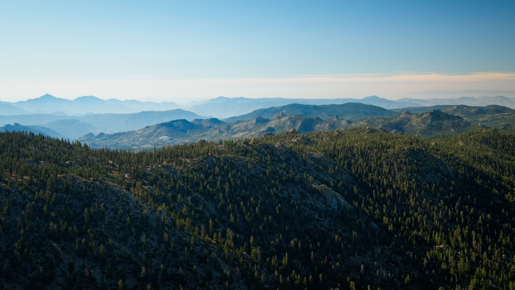
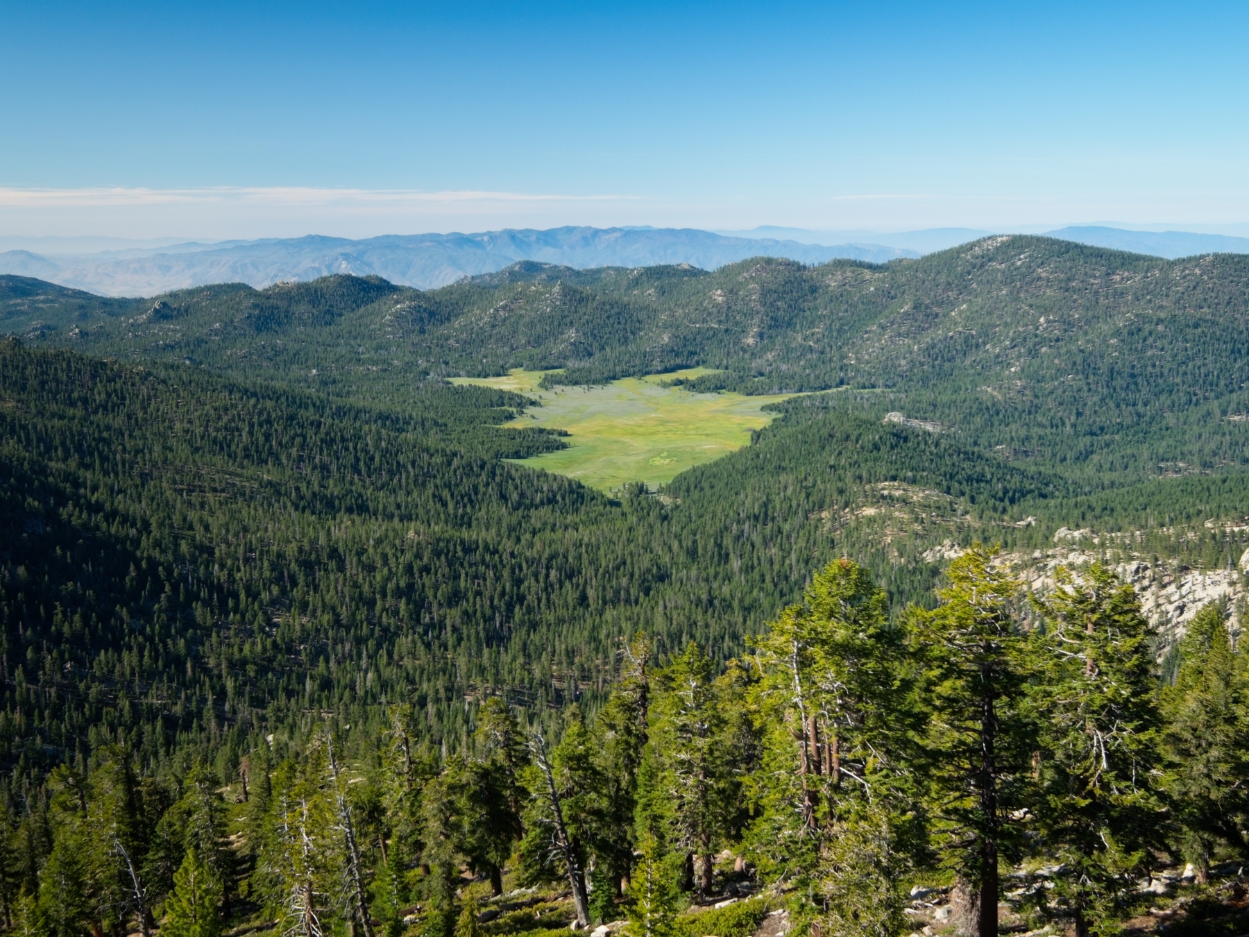
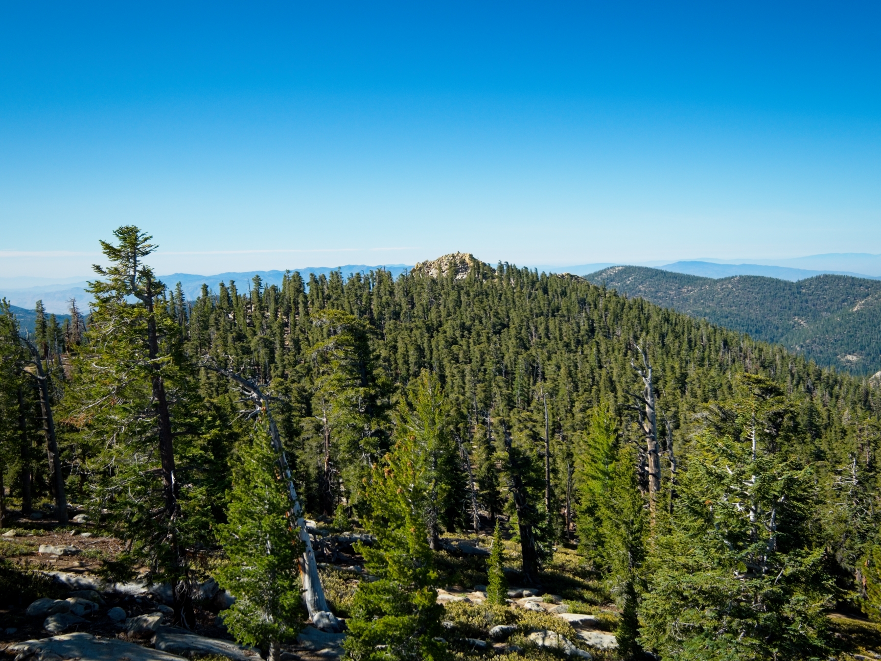
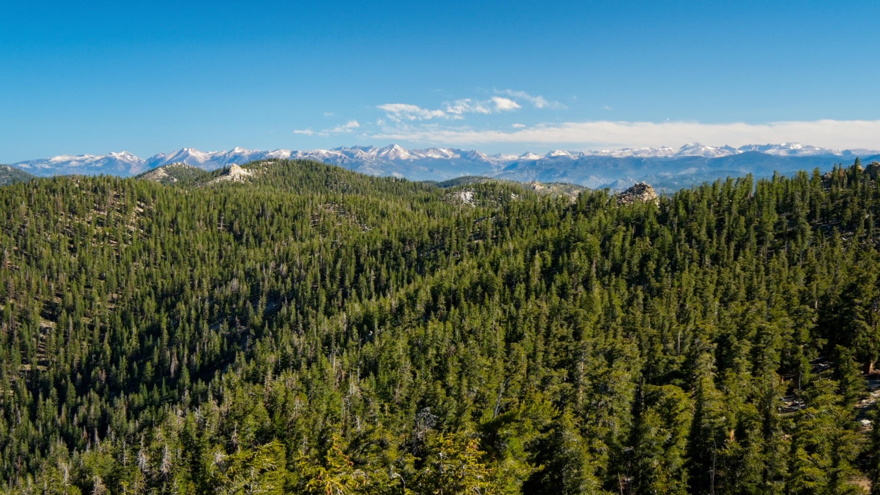
Next, I walk back across the plateau to Peak 9984, a whopping one foot taller than Sirretta Peak. It’s a much smaller summit block, but it has a nice shelf that is sheltered from the wind, and I spend a little longer there admiring the snow-capped Sierra Nevada Mountains spread across the northern horizon.
Once I’ve had my fill of views, I scramble down and walk back to the use trail, fully expecting to run into those campers on their way up. Surprisingly, I see nobody, neither on the use trail nor the Sirretta Trail. And, when I return to the trailhead, I find it almost completely empty; only a few people remain. Back at the car, I change out of my hiking clothes, toss my day pack into the car, and drive off in search of a hot meal and a cold drink.