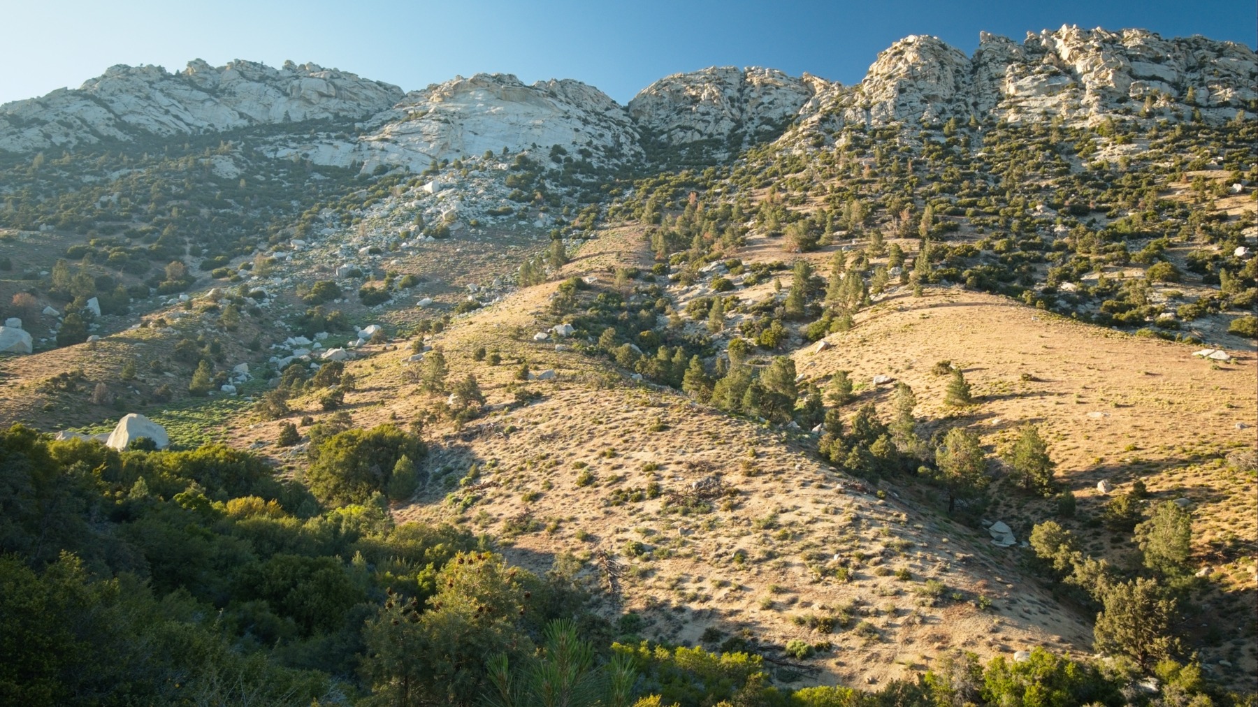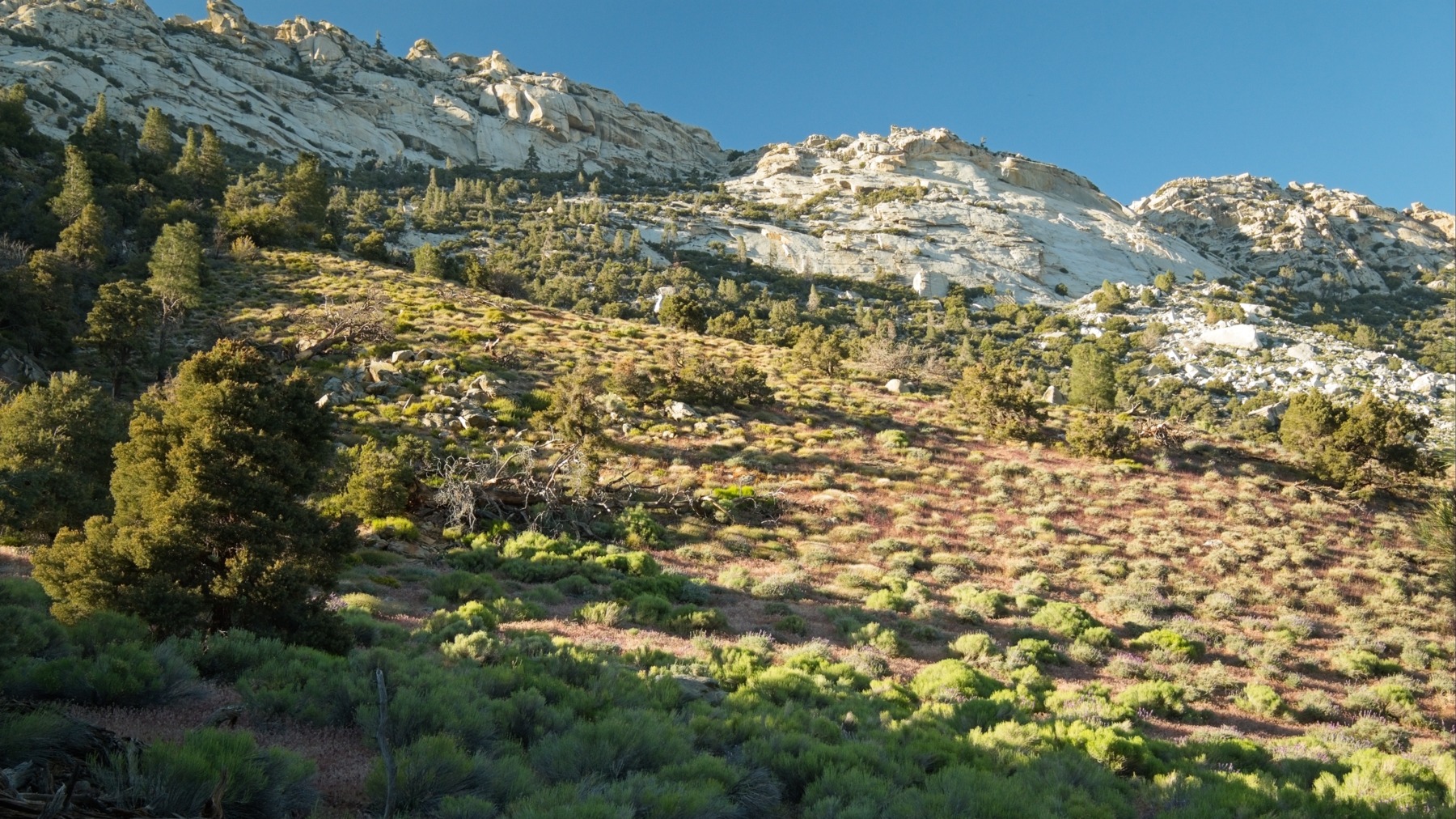
At 8400 feet, Owen’s Peak is one of the tallest mountains in the southern Sierra Nevada Mountains. It sits in an interesting ecological confluence of the high mountains and the high desert; granite batholith meets sandy plains. Jordan, Jenna, and Shannon planned this hike; I may have invited myself along to tag this Sierra Peaks Section peak.
Trip Planning
Specs: 14.1 mi | +/- 4800 ft
Difficulty: Class 2-3 [ratings]
Location: Owen’s Peak Wilderness, California | Home of Tübatulabal people | View on Map
Route: Drive up the Indian Wells Canyon Road as far as you can — it can get very rough — and park in a pull-off, or off the side of the road. Walk the remainder of the road until the single track begins. The trail can be faint at times, but there are no junctions, so follow it all the way to the peak.
Permits & Regulations: Permits are not required to hike here, but it is a wilderness area so motorized travel is not allowed. As always, make sure to leave no trace!
Resources: Visit the BLM website for the Owens Peak Wilderness for information about the area.
And Then Go Up
3 May 2026 | 14.1 mi | +/- 4800 ft | View on Map
Shannon, Jenna, Jordan, and I leave LA a little after 6 AM and drive north toward the eastern Sierra. After a quick stop at Starbucks, and another at a sporting goods store in Ridgecrest to replace some forgotten shoes, we drive up Indian Wells Canyon. The road begins as well-graded dirt but grows rougher as it climbs into the canyon. We’d read that the road eventually becomes impassable but that taking “the right turn” avoids that section. Unfortunately, there are several right turns making it far from obvious which one leads to the better road. Before long, we reach a heavily rutted, impassible stretch and pull the car off to the side.
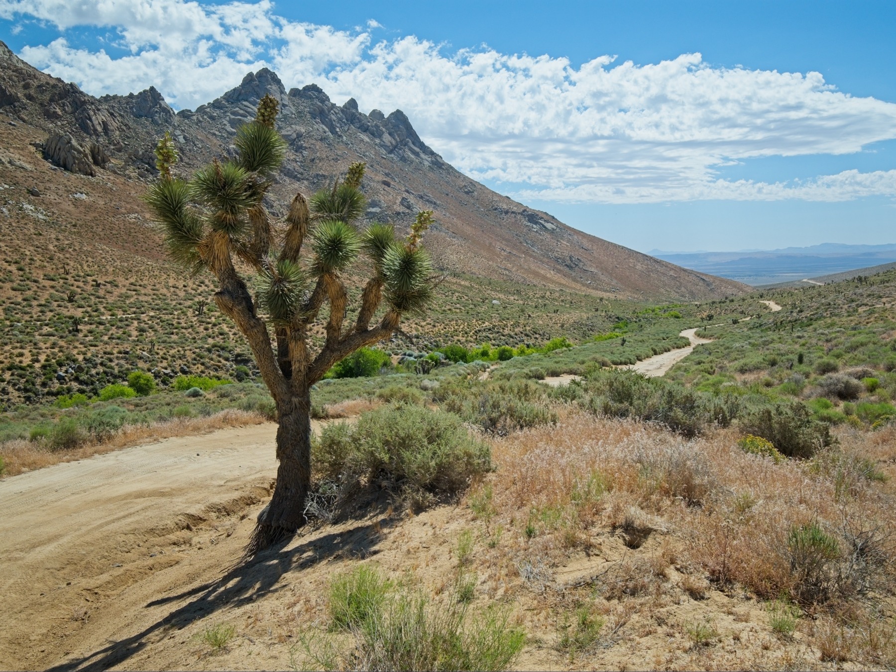
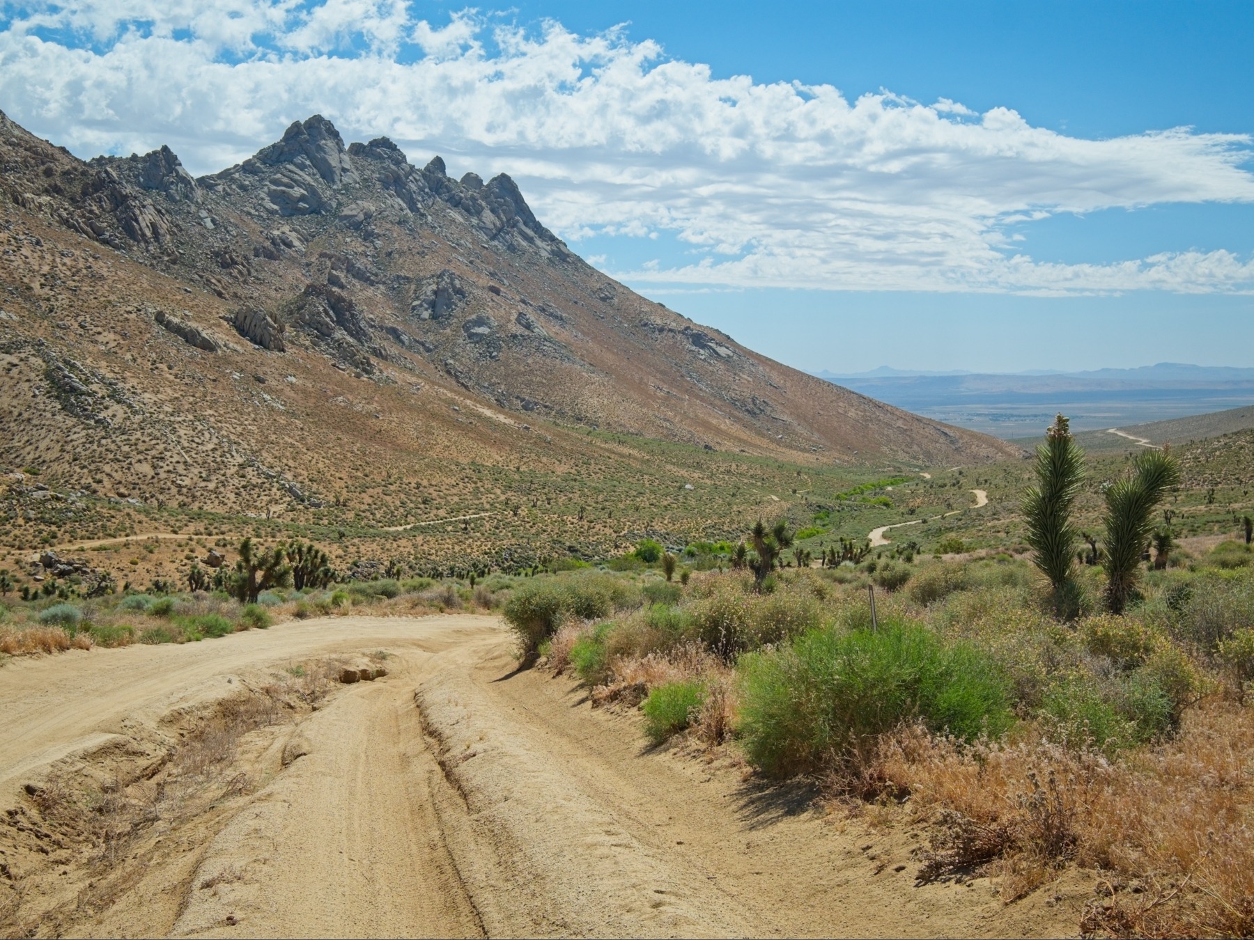
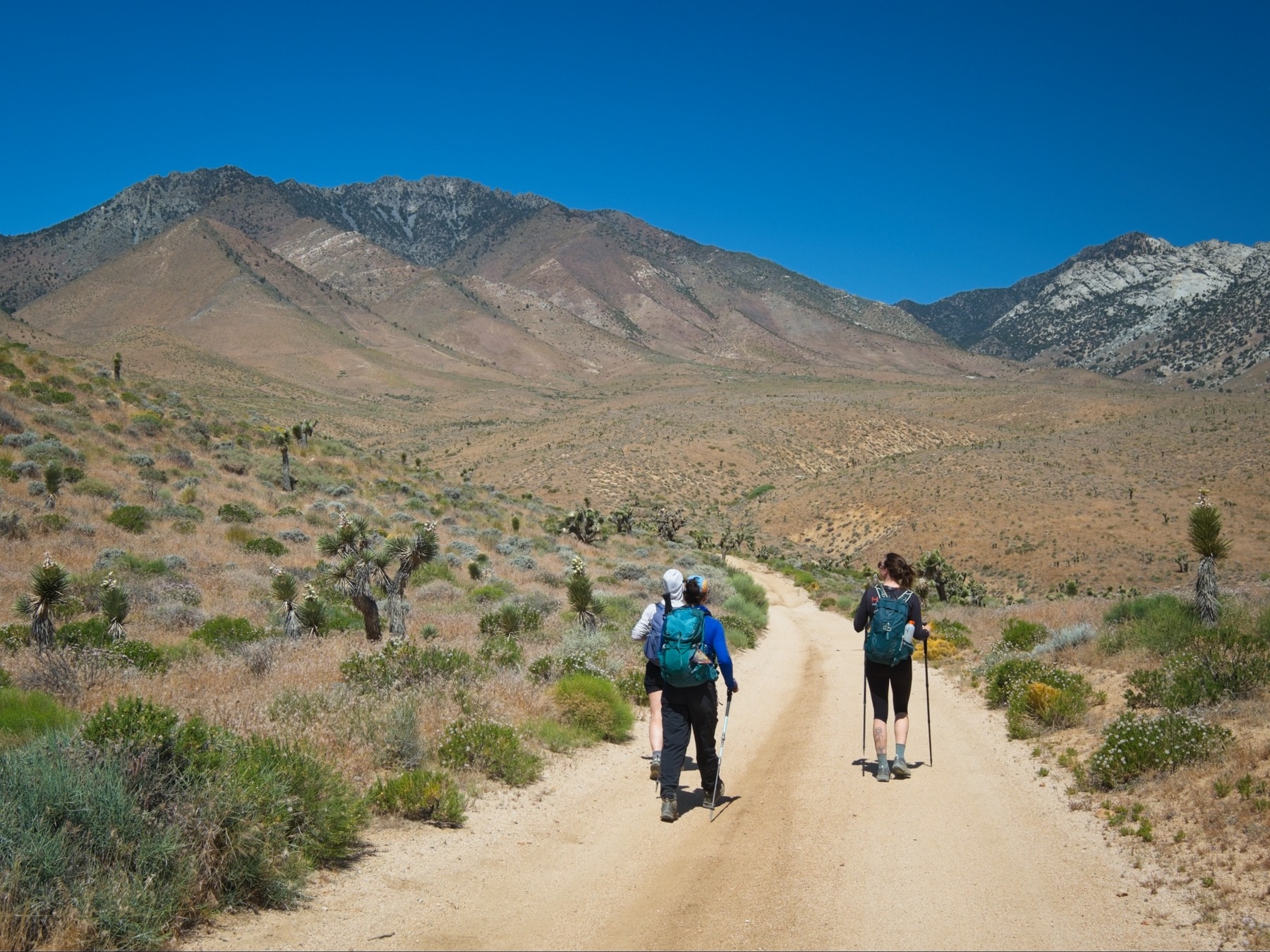
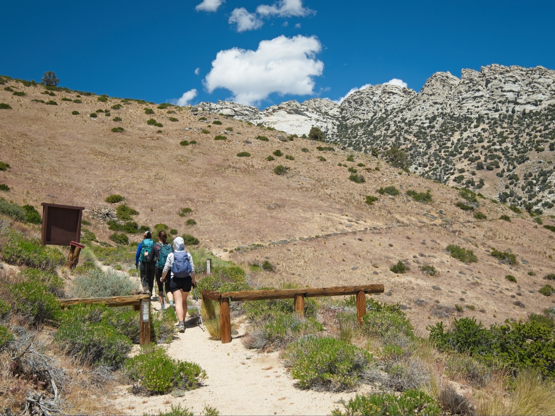
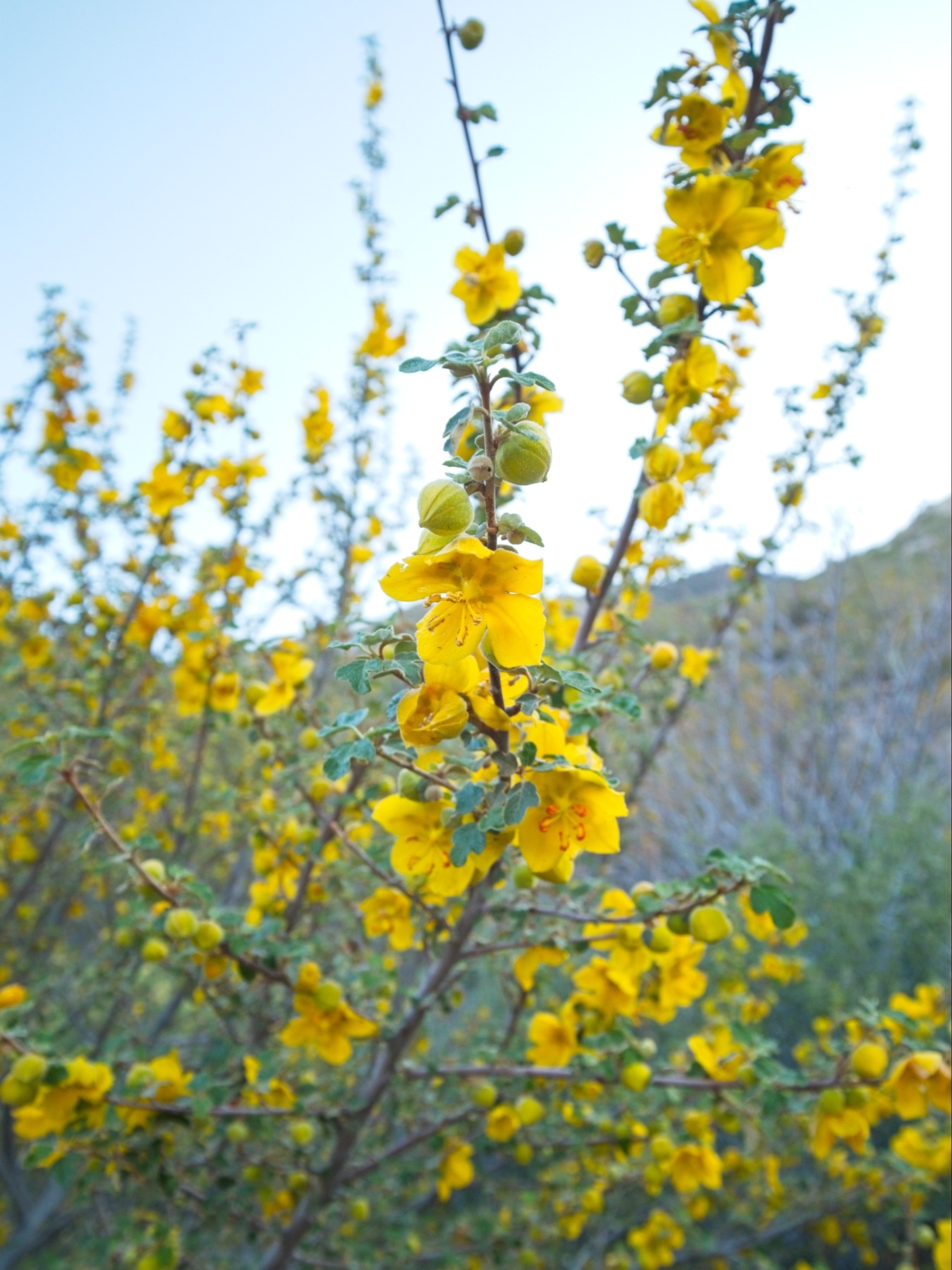
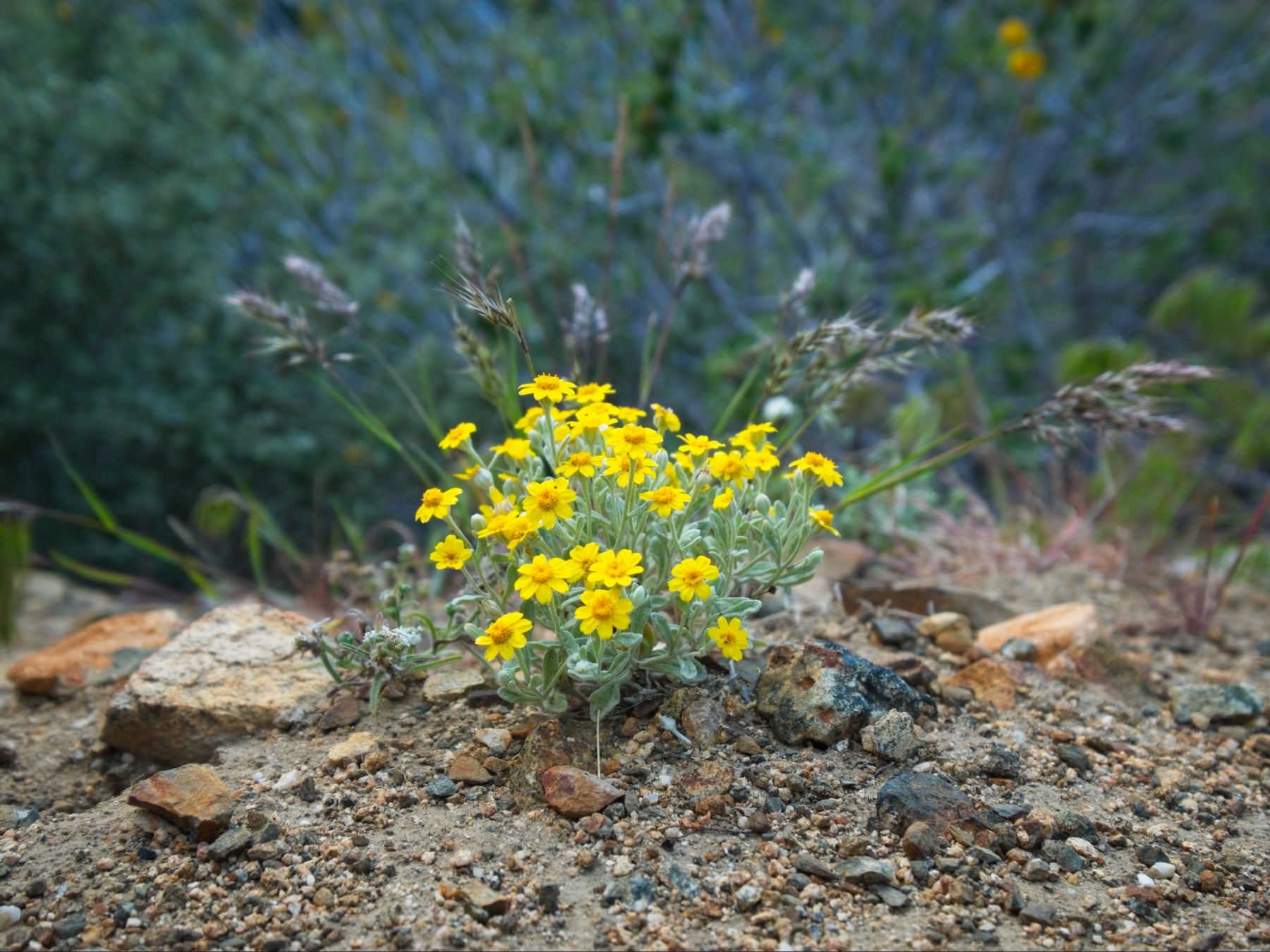
After packing up our gear, we begin walking up the road at 10:45. It’s a long, four-mile walk to the trailhead with no shade, but the morning is still cool and the grade is mostly flat. Once we reach the trailhead, the scenery improves immensely. The joshua trees and sage brush give way to pinyon pines, oaks, and blooming wildflowers. The trail descends into a canyon and then begins a sustained climb beneath the oak and pine canopy. It’s rough, steep, and difficult to follow in places.
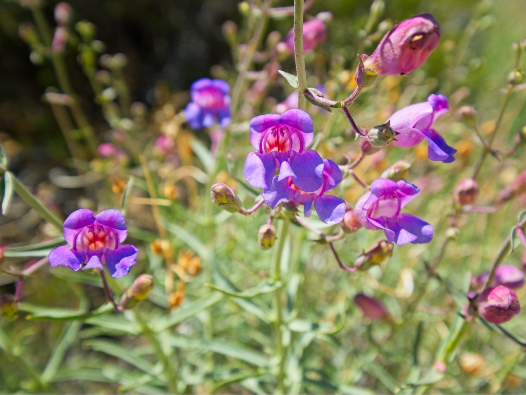
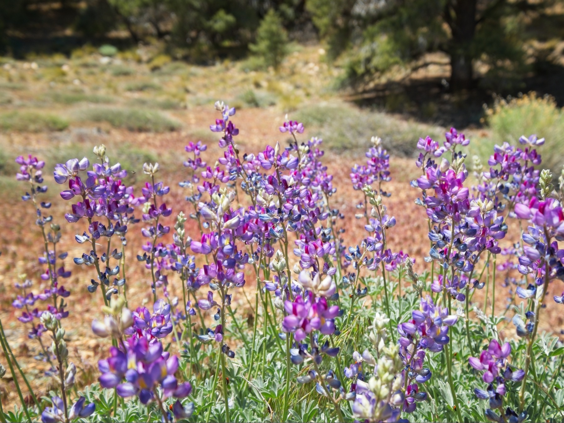
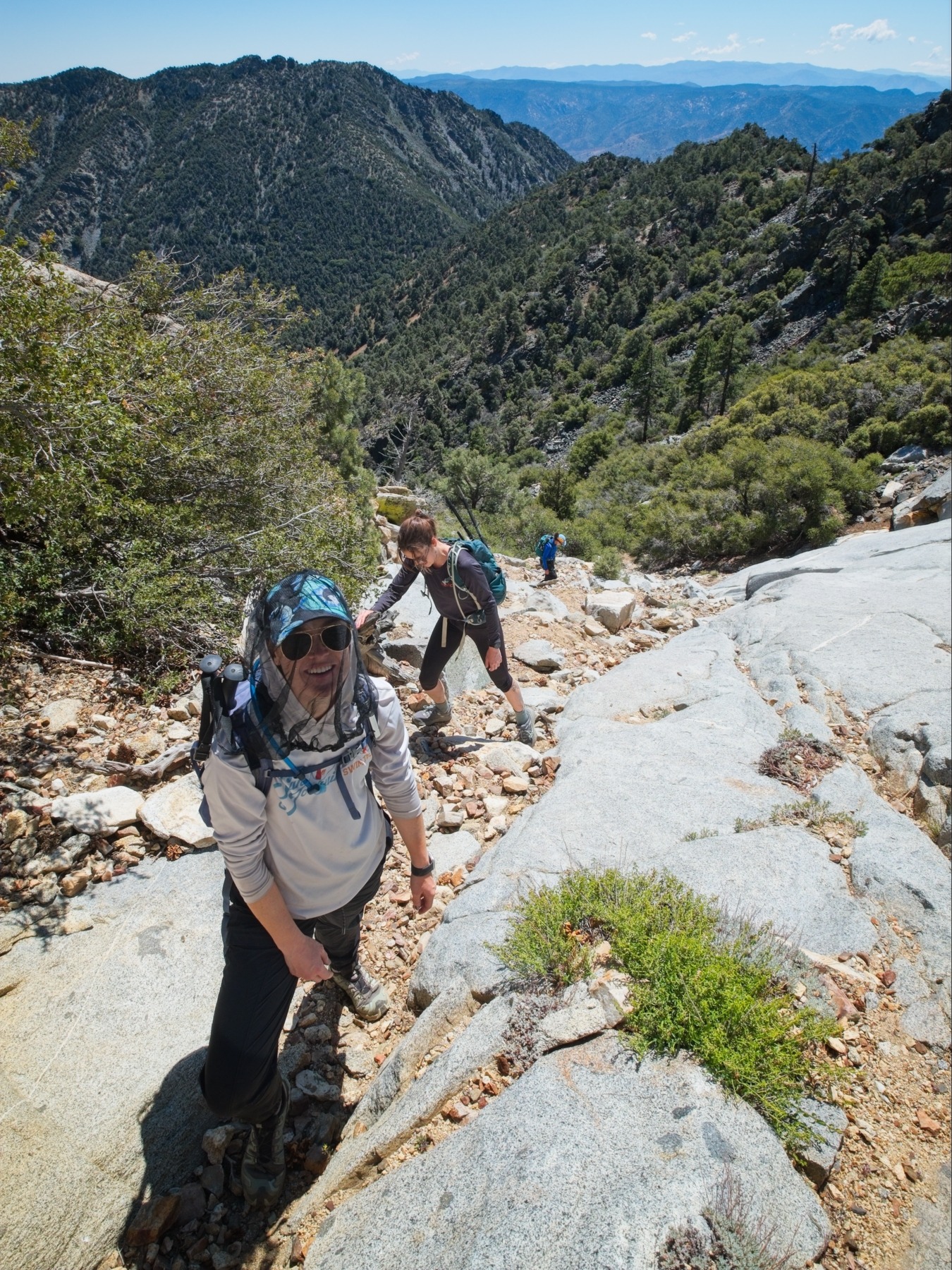
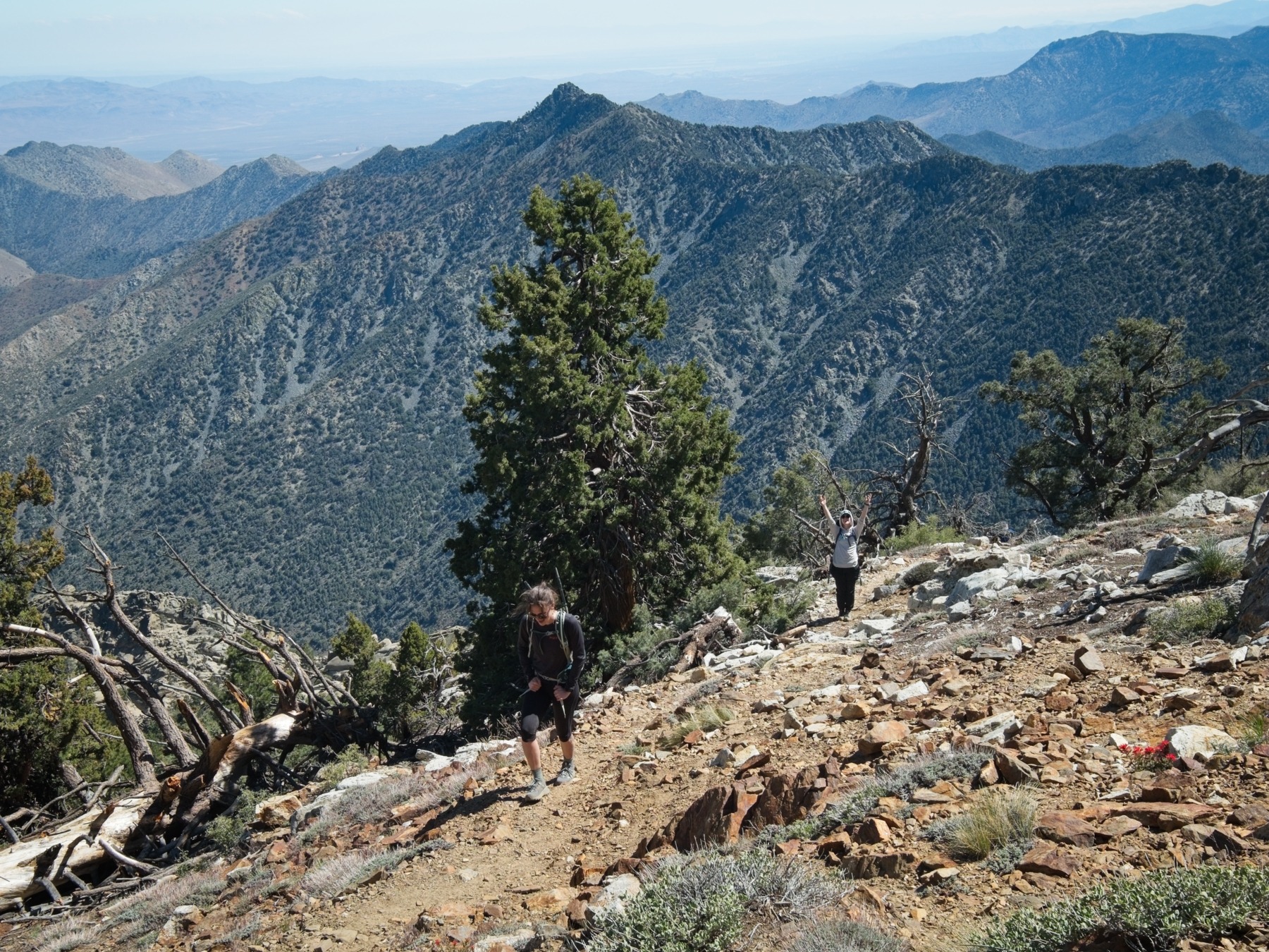
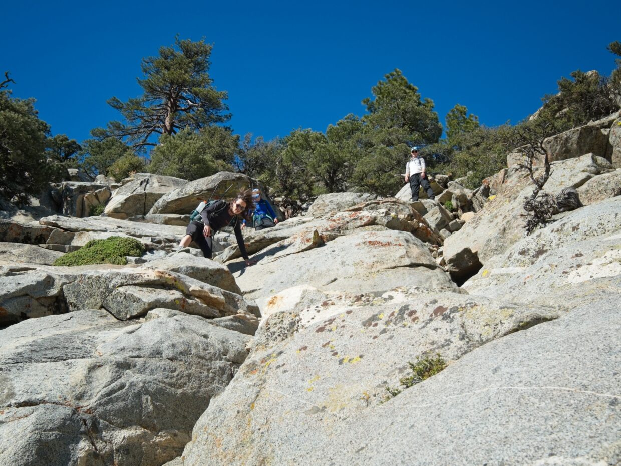
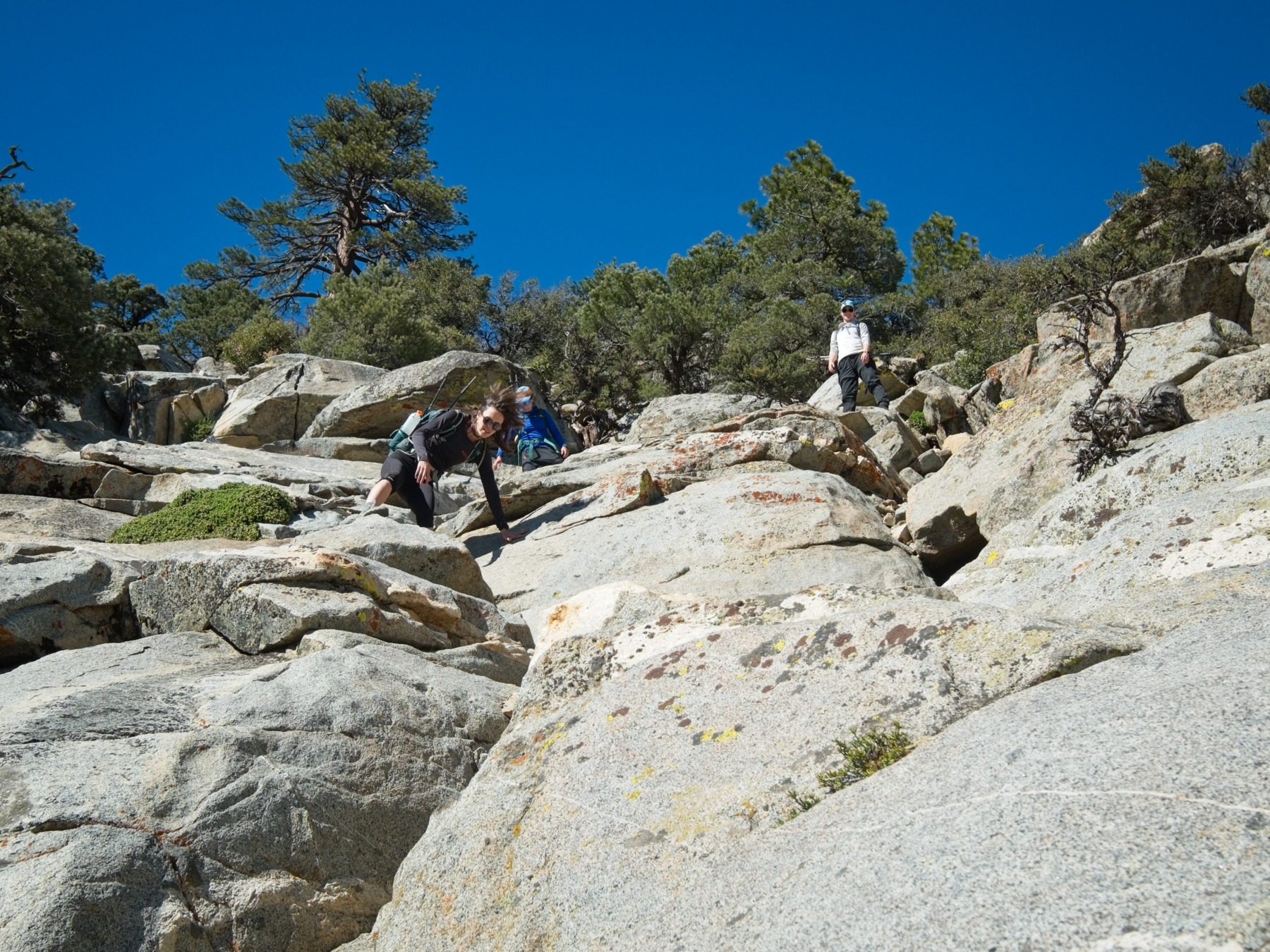
The higher we climb, the steeper the trail becomes. Just below the summit ridge, we hop across talus, slip and slide our way up dirty scree, and then scramble up some second- and third-class granite slabs.
Above the slabs, the trail becomes much easier to follow, though not much less steep. It just keeps climbing! There are at least some switchbacks.
We reach the summit at 3:20 and settle in for a leisurely snack and photo break. There’s a nice breeze blowing up here, and the views are outstanding. To the north, Olancha Peak, Mount Langley, and Mount Whitney stand out clearly against the skyline.
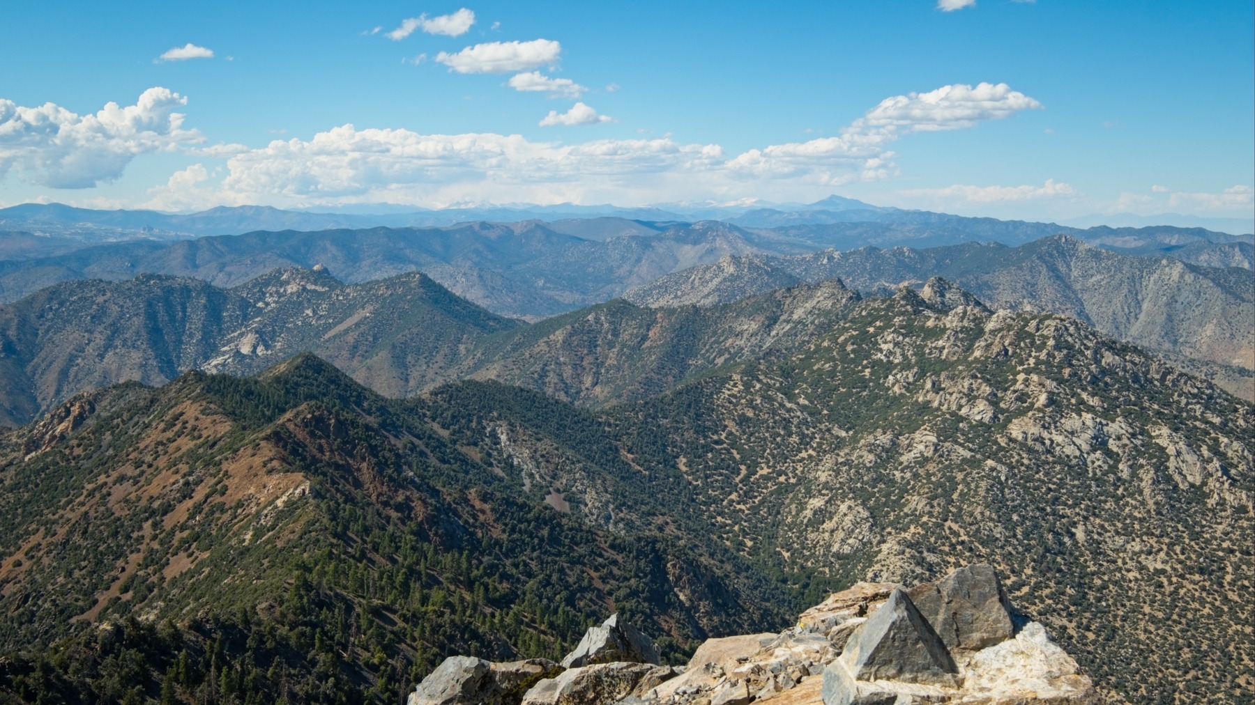
Eventually, we muster up the motivation to leave the summit and begin the hike down. Reversing the route turns out easier than we’d feared; even the steep, slippery sections go quickly. One of the highlights of the descent for me is watching a hummingbird drink from a thistle. It just hovers in place for a full minute, drinking its fill before darting away.
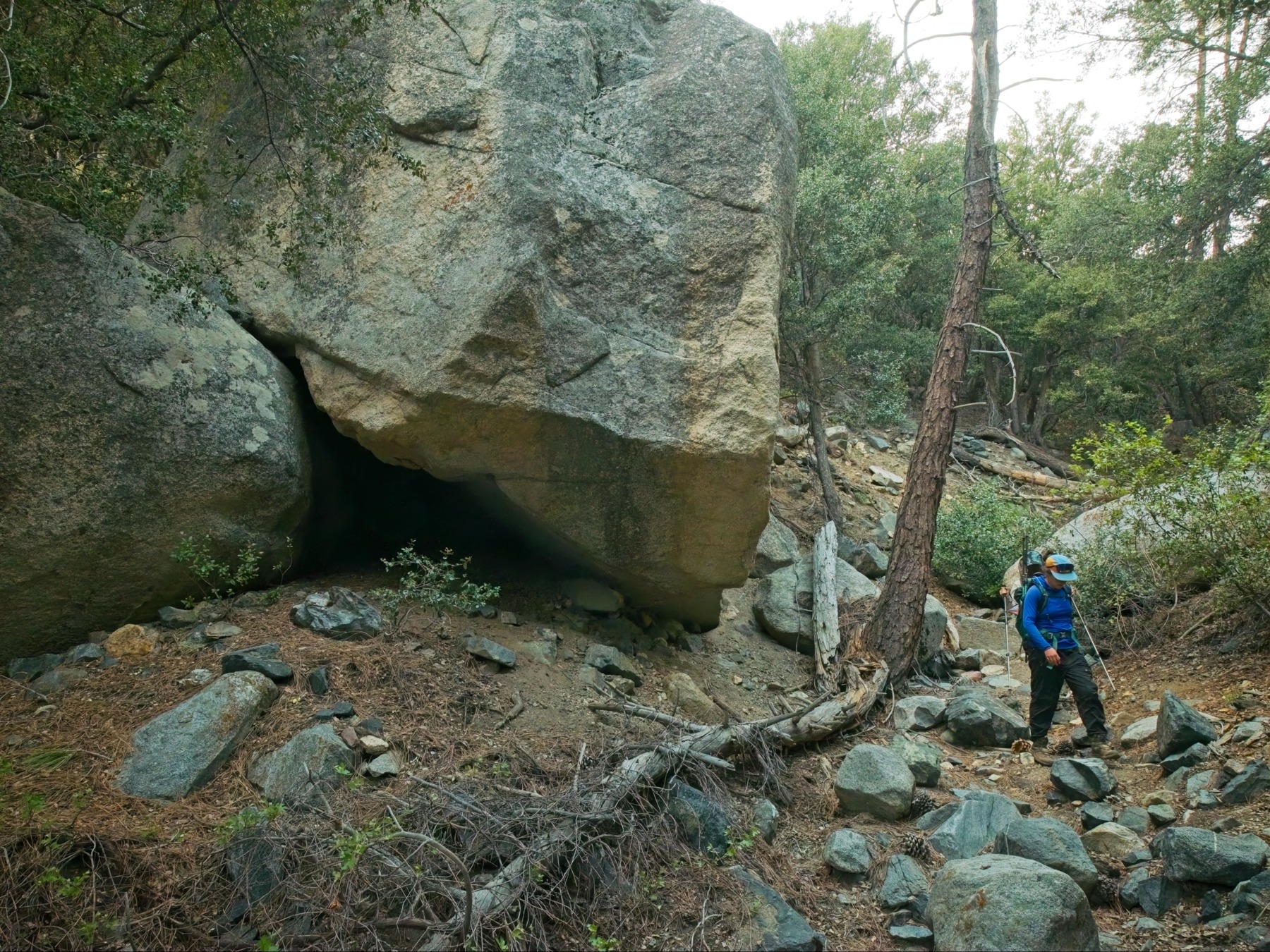
By the time we emerge from the oaks and pines back into the open desert, it’s 6:30 and the sun is casting long shadows across the mountains. We hurry back to the road and walk the four miles back to the car, arriving at 8 PM with just enough twilight remaining to navigate through the roughest section of the dirt road. Then it’s back to LA, with a stop at a brewery in Palmdale for a very late dinner. After spending the whole day exploring the mountains, it feels a bit surreal that we’ll all be back at our desks in a few hours.