Today is the seventh and final day (for me) of the Oregon peak bagging trip! Craig and I are hiking up South Sister, a technically easy peak but a long walk nonetheless. We’ve already climbed North Sister and Middle Sister; this is number three of three!
Trip Planning
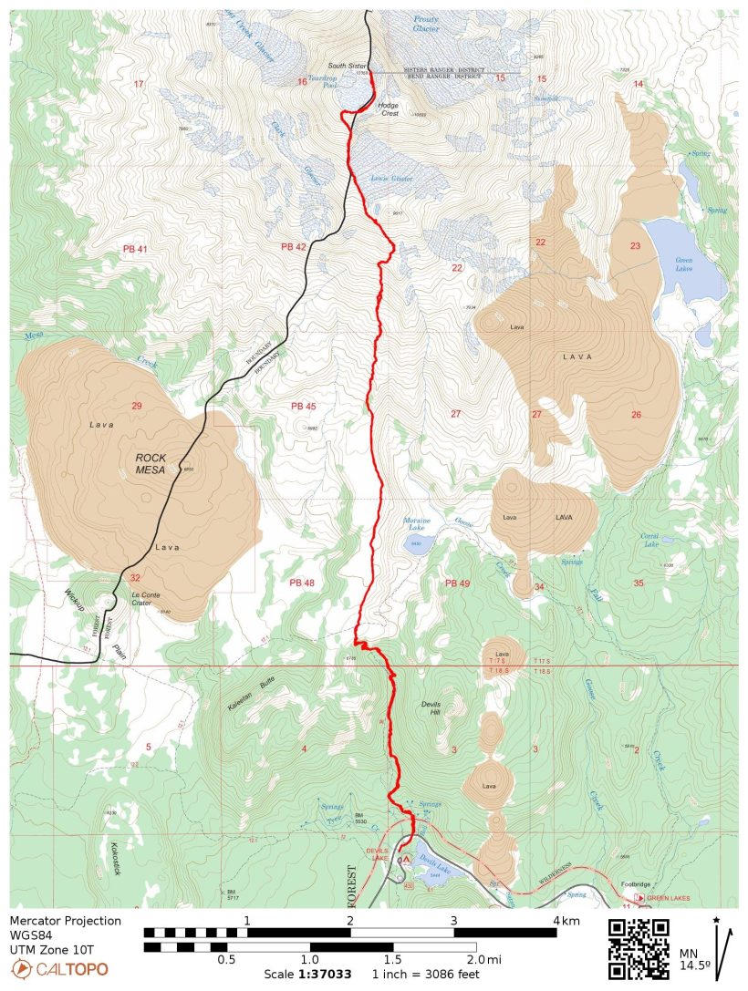
Specs: 11.8 mi | +/- 5000 ft
Difficulty: Class 1 [learn more]
Location: Deschutes National Forest, Oregon | Home of the Molalla, Siletz, and Grand Ronde peoples | View on Map
Route: Follow the signs for the South Sister summit!
Permits & Regulations: Permits are required for both day and overnight use of the Green Lakes Trail between June 15 and October 15. Parking costs $5/day, but recreation passes like the Interagency Pass are also accepted. Wilderness restrictions apply, and make sure to leave no trace!
Resources: The South Sister climber trail webpage has lots of useful information – check it out!
The Final Sister
Friday, 29 July 2022 | 11.8 mi | +/- 5000 ft | View on Map
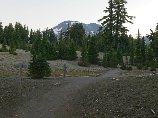
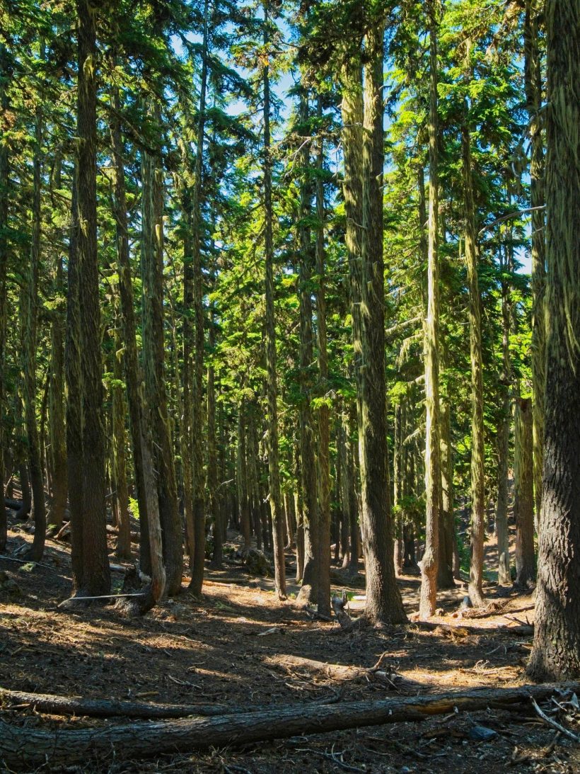
Craig and I hit the trail at 5 AM and begin walking uphill almost immediately. A PCT thru-hiker passes us just a few minutes into the hike but otherwise we have the trail to ourselves. Like many of the early morning starts this week, it’s not particularly cool; the forest is warm and humid. A little less than two miles up the trail we reach a four-way intersection with the Moraine Lake Trail. South Sister is already peeking above the trees ahead and we continue straight.
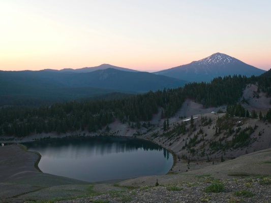
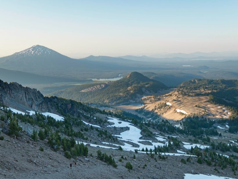
I enjoy the next mile and a half as we walk across a plateau covered in small, rolling hills. We stroll past several young kids on their way to the summit and see several other parties ahead. I wouldn’t have guessed that we’d be the late ones to this hike! As we climb higher, the sun rises and casts long shadows across the landscape, making for some fantastic views! Craig and I continue to pass hiking groups; we’re not in a hurry or pushing our pace, but after days of carrying heavy mountaineering packs up steep, loose slopes, this feels pretty easy. All I’m carrying is a jacket, water, food, and a camera.
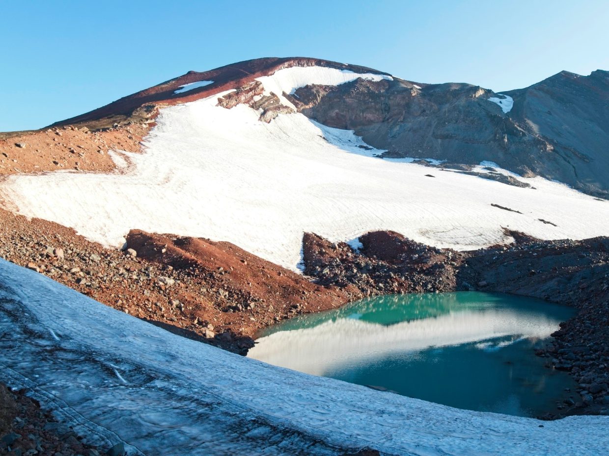
By 6:45, the sun has risen high enough to make it over the ridge and we stop for a break to put on sunscreen. The terrain is getting more difficult now. Hard-packed dirt has been replaced with gravel, so we settle into a pace that we can maintain and trudge on up the ridge. The red rock, white snow, and emerald-green glacial lake below the Lewis Glacier make for a beautiful distraction from the grind on the way up. My Achilles begin to ache again, so I focus most of my attention on placing my feet in ways that don’t aggravate the tendons any more.
After what feels like a very long climb, Craig and I reach the rim of the summit caldera. The caldera itself is full of snow and others have certainly walked across it, but we walk around the rim instead to reach the high point on the opposite side. At the summit we find the PCT hiker that passed us this morning. He introduces himself as “Side Quest,” which seems like a fitting name for a thru-hiker that just climbed 5000 feet to sit atop a mountain that is several miles away from the PCT. It’s actually a little chilly up on top of South Sister (a feeling I haven’t experienced in days!) and I pull on my jacket while I munch on some snacks. We’ve made tremendous time — it’s only 8:10 — so we relax for a while and take in the sweeping views. I’m grateful for the long rest; the hike up left my legs feeling a bit shaky.
Once we’ve recovered from the hike up, we begin the descent back to the trailhead. We boot-ski through the volcanic pebbles for a few thousand feet, a much more enjoyable way to travel than the uphill trudge. Most of the folks we passed on the way up are nearly to the summit caldera, but we pass dozens more hikers lower on the mountain.
Eventually, the steady stream of hikers thins out. A sierra nevada red fox runs across the trail during one such lull in people, quickly disappearing into the rocks and brush. I’m excited to have seen it; they’re a rare sighting!
I enjoy the leisurely stroll across the rolling-hill plateau. The winding path is easily wide enough for two people to walk shoulder-to-shoulder, and it reminds me a bit of a country lane. The rest of the descent passes by quickly and we’re back at the trailhead by 11:00. For the first time all week, we bump into a forest ranger who asks to see our permit. After Craig proves that we have our paperwork in order, we return to the parking lot. Craig and I say our goodbyes; he’s off to bag some more peaks, and I’m heading into Bend to see a few friends on my way back to Portland. I’ve really enjoyed the peaks this week, but I can’t wait for a shower, a bed, and some relaxing rest days.


Colin 26 November 2024
South Sister is like most of the hikeable Cascade peaks in Oregon: a slog. You get the boulder band, the cobble stone band, then gravel and pumice.
Nice pics!! (again)