Difficulty: Class 1 [learn more]
Location: Sawtooth National Forest | Home of the Shoshone-Bannock peoples | View on Map
During many, if not all, of my childhood trips to the Sawtooth Mountains, my family and I would hike a few miles down Williams Creek Trail. The trailhead at Fisher Creek parking lot isn’t far from where we stayed and it was always wonderful to wander back into the hills.
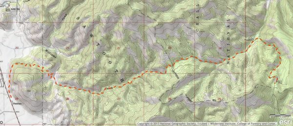
William’s Creek Trail is a smooth, singletrack path that is immensely popular with mountain bikers. Many years ago my family and I biked this trail from the Aztec Mine all the way back to the interstate. My brothers and I were all young at the time and I don’t remember much other than that it was great fun. A full loop requires some riding on the interstate, or you can coordinate with friends and park a car at each end.
Other than the one mountain biking traverse of William’s Creek Trail, I’ve always walked it. Most trips with my siblings, parents, and other relatives lasted only a few miles. We would begin at the Williams Creek parking lot and hike up into the hills behind Obsidian. At first, the trail is exposed to the sun and slowly winds up slopes of slippery shale. My brothers and I used to try to run straight up the shale. Trying to climb the hill that way is an incredible workout because every step you take forward causes the shale around and under your feet to slide downhill… The key, we eventually learned, is to climb to the nearest sagebrush and take advantage of its superior grip on the soil to advance toward the hilltop.
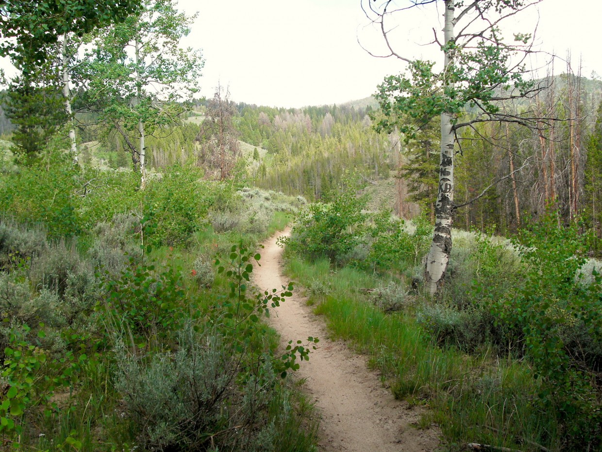
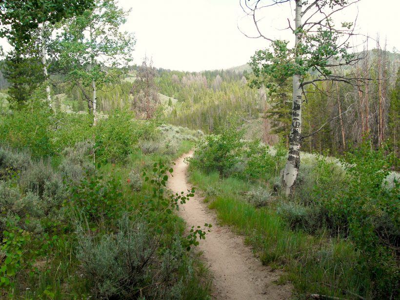
For those not interested in scrambling up the shale, the trail soon reaches the edge of a lodgepole pine forest. Most summer days, the shade is welcome and continues for several miles. The trail continues to climb and slowly wraps around the hill amidst the towering trees. Every once in a while, a stand of quaking aspens appears in the pines and interjects a splash of silver into the rather dull brown pine pallette.
As the trail rounds the northern face of the hill, gaps in the trees offer views of the surrounding landscape. Rocks protrude from the trail there, a marked contrast from the smooth, dusty path that leads from the trailhead. A short ascent past this turn brings a hiker to the top of a ridge. From here, the trail begins a series of switchbacks and loses most of the elevation gained from the trailhead in a descent to “the meadow.” If you visit in the springtime, the meadow is full of yellow wildflowers, green grass, and ground hog squeaks. Whenever we hike this trail, we make a point to take a break at William’s Creek and soak our feet in the ice-cold water. The bridge that used to span the creek was low enough to sit on and dip one’s feet into the water; the new bridge is larger, sturdier, and too tall for feet dipping.
The trail continues for many miles past the meadow, and I’ve hiked further a handful of times. Not far from the meadow is a spring that flows out of the hillside and trickles down to the creek. Whenever the opportunity presented itself, my brothers and I, under the guidance of our grandfather, would refill our water bottles from the spring. The water is delicious and, since we gathered it directly from the source, there is little risk of giardia (to my knowledge; we never got sick from drinking from the spring). If you know which direction to go, there is also a collection of one of nature’s engineering marvels – beaver dams – nearby! The beavers seem to have become less active in recent years, but one can occasionally still find their handiwork in the woods past the meadow.
I’ve rarely ventured further than the beaver dams as the return trip begins to become rather lengthy. After a nice long hike, we’d return home, make a campfire, and enjoy the evening. There are many similar trails in the Sawtooth Mountains; if you’re ever in the area (e.g., Sun Valley), I would highly recommend a trip over Galena to visit this incredible wilderness.


