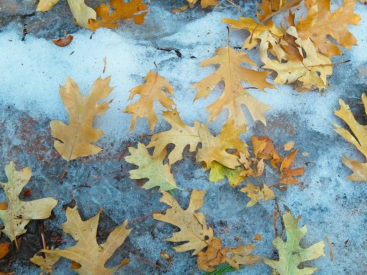
Winter has unofficially arrived in Los Angeles! The taller local mountains are holding snow, the trees are all turning colors and shedding leaves, and it’s been perfect hiking weather. This weekend I broke out the winter hiking gear and spent a day traipsing through the snow in the San Bernardino Mountains. My excuse for the hike was a visit to three peaks on the San Bernardino Divide: San Bernardino East Peak, Anderson Peak, and Shields Peak.
Trip Planning
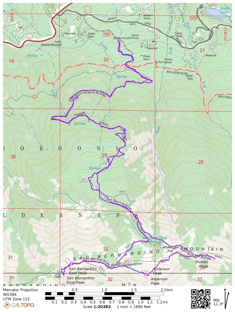
Specs: 15.0 mi | +/- 4500 ft
Difficulty: Class 1 [learn more]
Location: San Bernardino National Forest, CA | Home of the Serrano and Cahuilla peoples | View on Map
Route: Follow the Forsee Creek Trail to Trail Fork Springs. Choose a direction and follow the fork up to the ridge. Anderson and Shields Peaks require a little cross-country hiking, but the terrain is easy enough to navigate.
Permits & Regulations: Permits are required for day-use and overnight trips in the San Gorgonio Wilderness. Visit the San Gorgonio Wilderness Association website to reserve a permit online (they’re free!). The usual rules apply (e.g., camp away from trails and water, bury your poop, etc.), and don’t forget to review the minimum impact ethics!
Resources: The San Gorgonio Wilderness Association website has a ton of useful information. Check out the interactive map with up-to-date trip reports; it’s an incredible resource!
East San Bernardino, Anderson, and Shields Peaks
27 Nov 2022 | 15.0 mi | +/- 4500 ft | View on Map
I’m awake early this morning, well before dawn, to drive to the Forsee Creek Trailhead. The sun is only up for 10 hours and six minutes today, and I’m going to need most of that time to complete this hike, so I want to start as close to sunrise as possible. My little low-clearance sedan makes it up the rough dirt road to the trailhead just fine and I’m on the trail by 6:20, about ten minutes before sunrise.
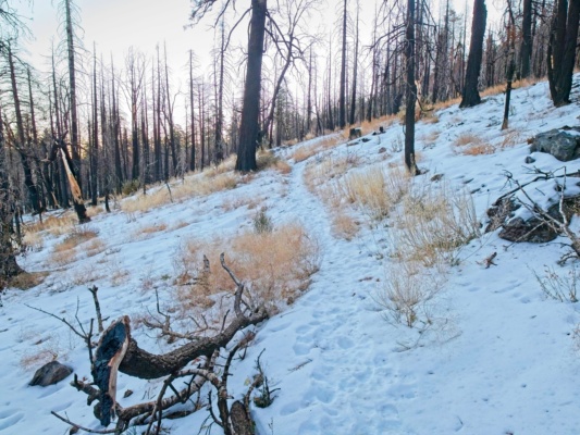
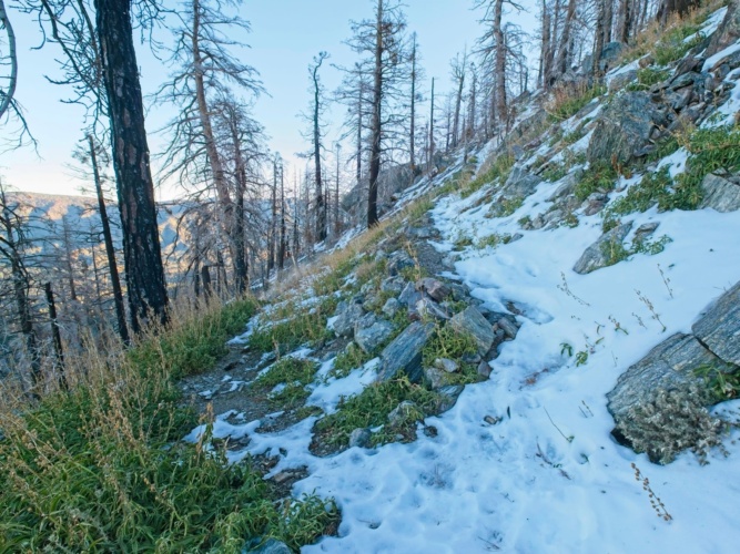
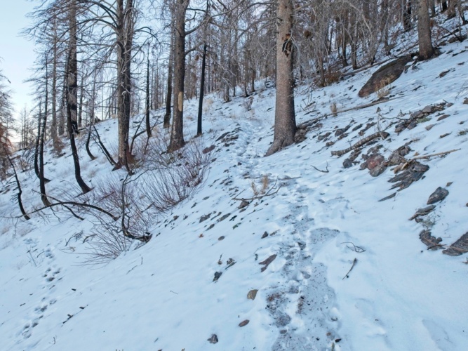
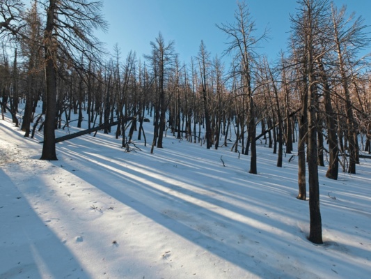
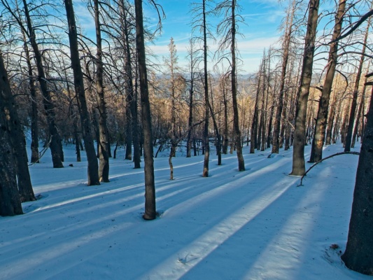
From the very start I’m walking on consolidated, icy snow. My feet slip and slide as I walk up the gentle slope, but it’s not too hard to stay upright. Microspikes would definitely be useful but all I brought today are crampons and I’m not ready to put them on yet. After a brief walk through a mix of pine and oak trees, I reach the El Dorado fire scar (2020). Crispy, blackened tree trunks line the snowy trail; in fact, there’s not a live tree in sight.
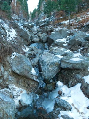
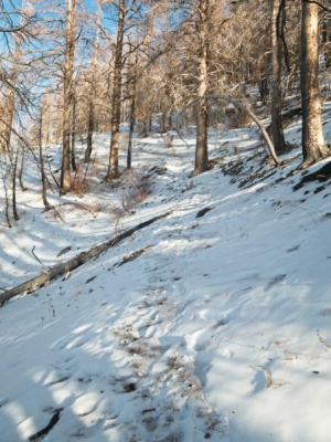
Further up the trail I reach some patches of surviving forest, mostly in sheltered canyons. I’m surprised to find Cienaga Creek flowing; there must be a spring above somewhere. The trail is still almost entirely snow-covered, but there are enough dry patches, rocks, and logs that I can rely on to avoid slipping. Those stable foot placements become fewer and farther between, however, and I’m soon facing a trail covered in an angled slope of icy snow. The snow is too solid to kick steps so I strap on the crampons and cautiously walk out onto the slope. The steel teeth easily bite into the ice and I continue up the trail.
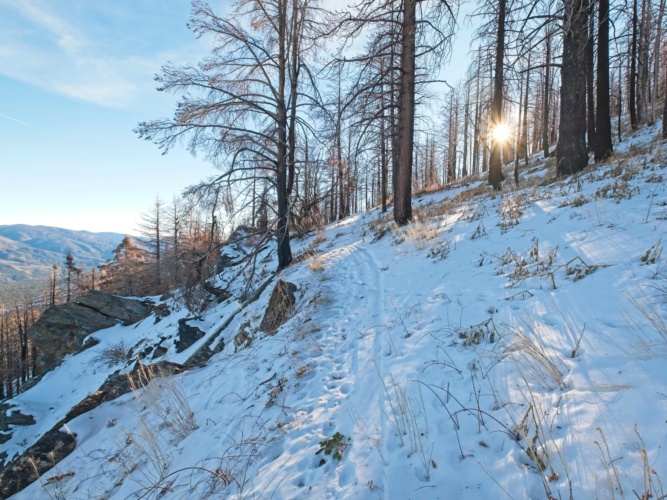
By 8:30 I’ve reached an east-facing ridge and finally get some direct sunlight. It’s not much warmer than in the shade, but the sunshine does warm my mood. I stop for a short break to eat a snack and put on sunscreen and then continue up a series of short switchbacks. The trail winds in and out of the sun so my sunglasses are in constant rotation between my face and the top of my head.
Following the trail is getting more difficult as I climb higher; there are just fewer and fewer footprints to follow. By the time I reach Jackstraw Springs, the footprints have disappeared entirely. According to the map there’s a campsite around here, but I’m not sure if it survived the fire. The plateau is a mess of fallen, charred trees; I scramble over several as I search for the trail, consulting the Gaia GPS app repeatedly.
Even with the GPS, following the trail proves difficult. After struggling for five or ten minutes I give up and make my own way up the mountain. Rather than switching back across the slope, I follow the ridge directly. It’s tough work and my legs are feeling tired from five miles I’ve already covered, so I settle into a slow but steady trudge. The crampons crunch through the snow, never sinking more than a few inches.
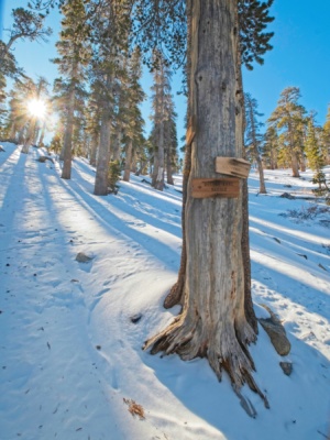
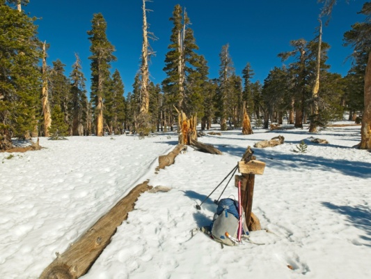
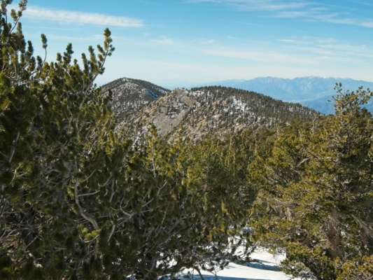
I reach Trail Fork Springs, marked by three signs on a tree, at 10:10. Looking at the map I decide to head east first since the descent will be more direct from the west. I struggle up some steep and very fluffy snow banks for a few hundred feet and then enjoy a relatively flat stroll through the woods to the San Bernardino Divide. The trees up here survived the fire!
Once I reach the ridge top I sit down and take off the crampons. There’s still plenty of ice around, but the terrain is flat and I’m not worried about falling. Crampons are not the most comfortable footwear, so I’m happy to walk without them for a while.
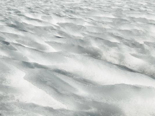
I head east along the sun-soaked ridge toward a prominent rocky outcropping – San Bernardino East Peak. The snow is very inconsistent up here. There are patches of soft, sugary snow that are a pleasure to walk through, but intermittent sections of solid ice continually surprise me. It seems like there’s always chunky ice directly below trees where snow has melted, dripped down, and refrozen. And the icy patches are mostly in the sun where the top layer melts and refreezes. So I try to stick to the shaded areas where the ground isn’t so slippery.
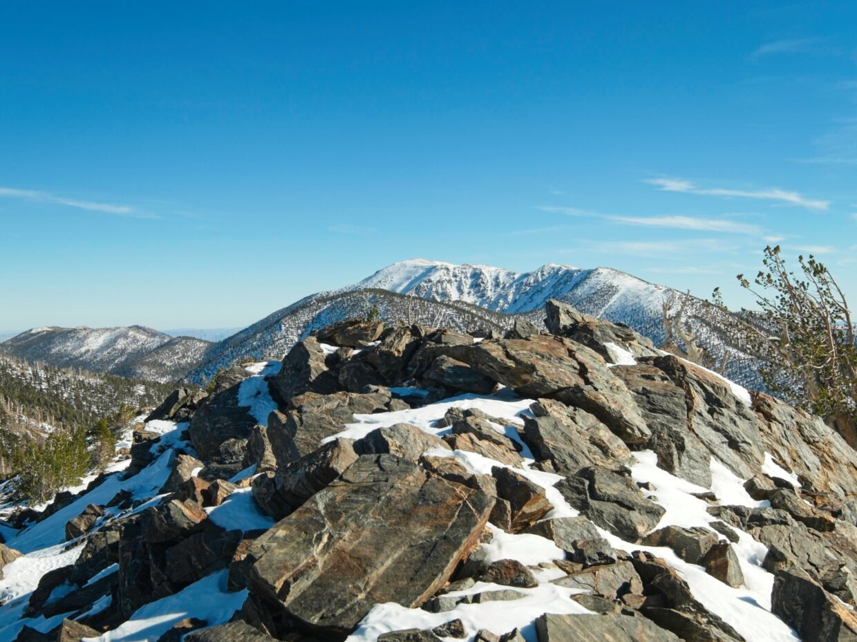
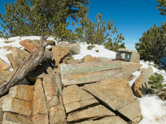
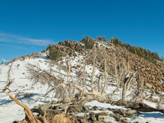
There’s not a register atop San Bernardino East Peak – just an empty box with no lid – so I don’t stay long and return back down the slope to the flat ridge. A short walk brings me to the foot of Anderson Peak, the tallest (10,840 ft) of the three summits I’m visiting today. I’m able to walk up the slope without crampons with careful foot placements; there are plenty of small imperfections and waves in the snow that provide enough traction for the climb. I find a summit register and a summit sign on Anderson Peak. It’s just after noon and there are some nice, sunny rocks so I take a break and eat lunch.
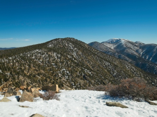
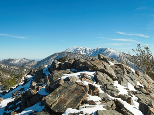
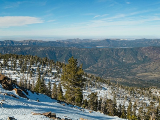
I’m not gutsy enough to descend the mountain sans crampons, so I put them back on after I’ve eaten and rested. The steel teeth provide peace of mind as I descend down the patchwork slope of sugary snow and ice sheets. The final summit for the day is Shields Peak, a talus pile a little west of Anderson Peak. I remove the crampons once I reach the talus and step across the rocks to reach the summit. There’s a fantastic view to San Gorgonio – at 11,500 feet it’s the tallest mountain in southern California.
On the way down the mountain I take many, many shortcuts. I enjoy plunge-stepping through soft snow for a while and then transition back to crampons when I reach the intermittent ice sheets. There’s no need for switchbacks when I can walk straight down the slope! For the most part, I enjoy the descent. It’s a beautiful day, there’s very little wind, and the sun once again casts long shadows through the woods. I see a pair of deer on the way down but they run off as soon as I get close.
I’m back at the trailhead by 16:20, bringing the hike duration to exactly 10 hours. It’s been a pleasant day – a bit of a slog, but quiet and peaceful with beautiful weather.
