I joined Craig B. and several of his friends, Craig J., Sung, Jay, Mark, and Kristie, this weekend on what was supposed to be a relaxing 5-mile out-and-back hike in Baja California, Mexico, to the high point of Cerro Bola. The location of the high point is somewhat difficult to determine since two nearby high points have precisely the practically the same altitude. You can drive right up to the first high point; it’s covered in radio towers. The second high point and summit register is one ridge over, about 5 miles by foot. We visited both high points just to be sure we tagged the highest one. However, past trip reports didn’t prepare us for the hike – the terrain is choked with thick brush and pushing through it is tedious and painful. Maybe it was less dense ten years ago when the last people to sign the summit register visited.
Trip Planning
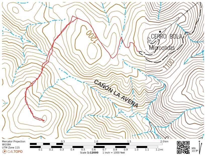
Specs: 4.9 mi | +/- 1700 ft
Difficulty: Class 1 – 2, very thick bushwhacking and no trail [learn more]
Location: Baja California, Mexico | Home of Kumeyaay people | View on Map
Route: Begin at the switchback near the helipad on the road to the radio towers. Hike down the smaller gravel road for about 1.1 miles and then turn left and hike cross country to the summit. There is no trail to follow and the brush can be incredibly thick. You’ll have to shimmy under several barbed wire fences to reach the second Cerro Bola high point.
Cerro Bola
4 Mar 2023 | 4.9 mi | +/- 1700 ft | View on Map
The Rio Tijuana floods over the road, completely blocking our path to Cerro Bola (a.k.a., “Ball Mountain”). We’ve stopped at the top of the bank and are looking down at the water, wondering if we can drive across. A dump truck rumbles through the water while we wait, offering some hints as to the depth of the river. Mark’s lifted pickup will probably be fine, but Jay’s Subaru is unlikely to make it through safely. We all pile into the truck, leaving the Subaru a short distance away and drive into the river.
The waist deep water and loose gravel riverbed don’t give the truck too much trouble and we’re soon rumbling up the dirt road toward Cerro Bola. The road is rough, rugged, and steep. Others have reported they made it up this road with small sedans but it seems like high clearance and four wheel drive are both essential; maybe the road used to be less rugged.
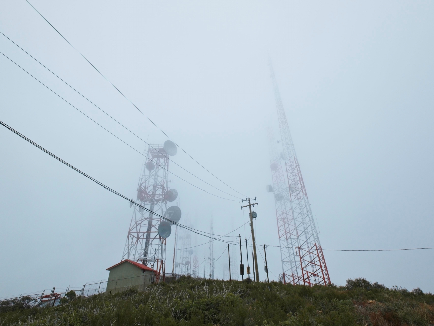
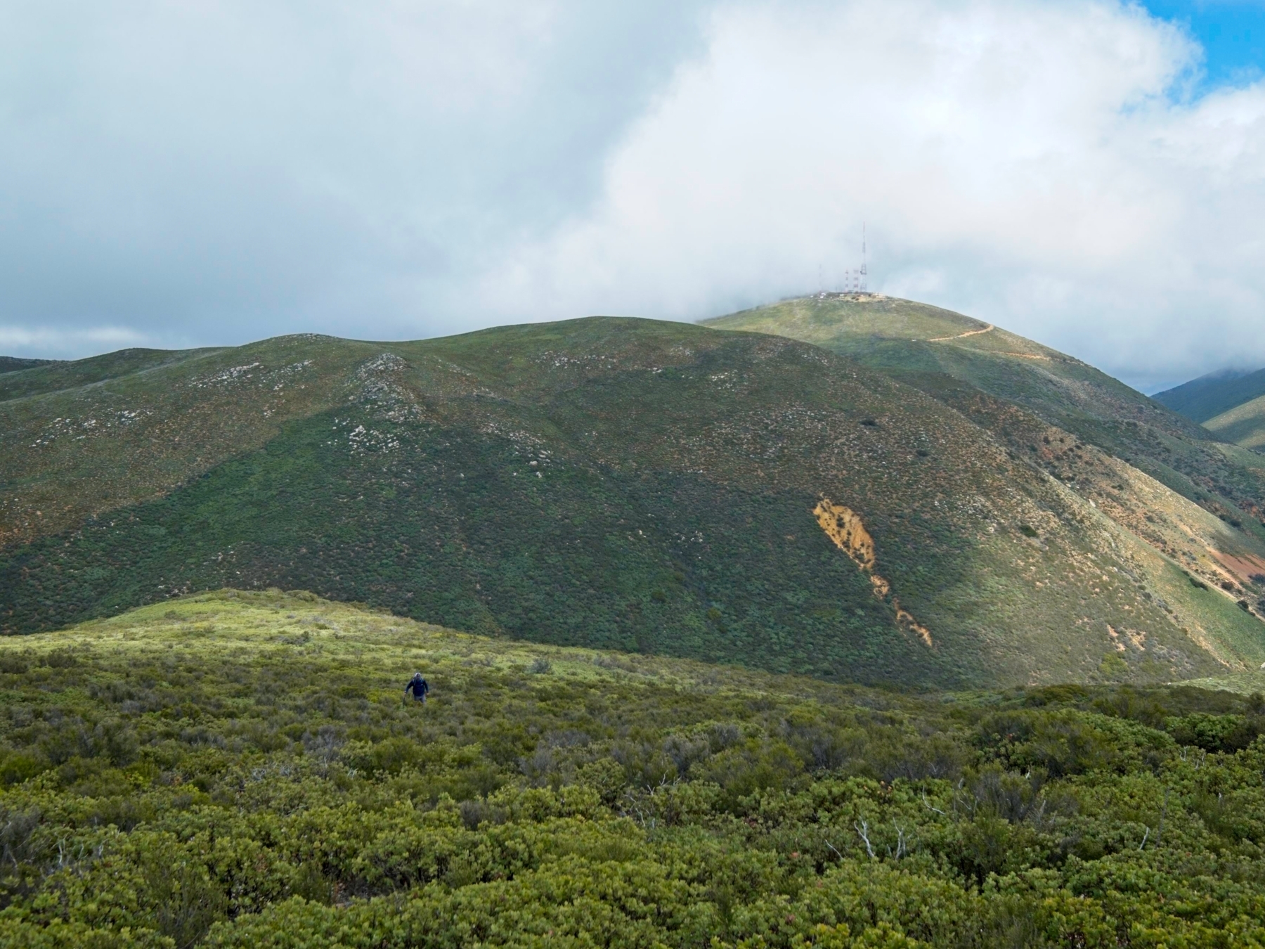
When we reach the top of the mountain we hop out of the truck and wander around. The summit is covered in huge radio towers, the tops of which are obscured by low-hanging clouds. There’s no obvious sign of a summit marker or register, so we don’t stay too long.
Since the true high point of Cerro Bola is a bit ambiguous and we’ve driven several hours from LA and San Diego, we’re determined to ensure we stand on the highest point. Mark and Kristie hang back at the truck while Craig B., Craig J., Sung, Jay, and myself set out on foot for the second peak a few miles away. We follow a double-track gravel road across rolling hills for about a mile and then strike out cross-country.


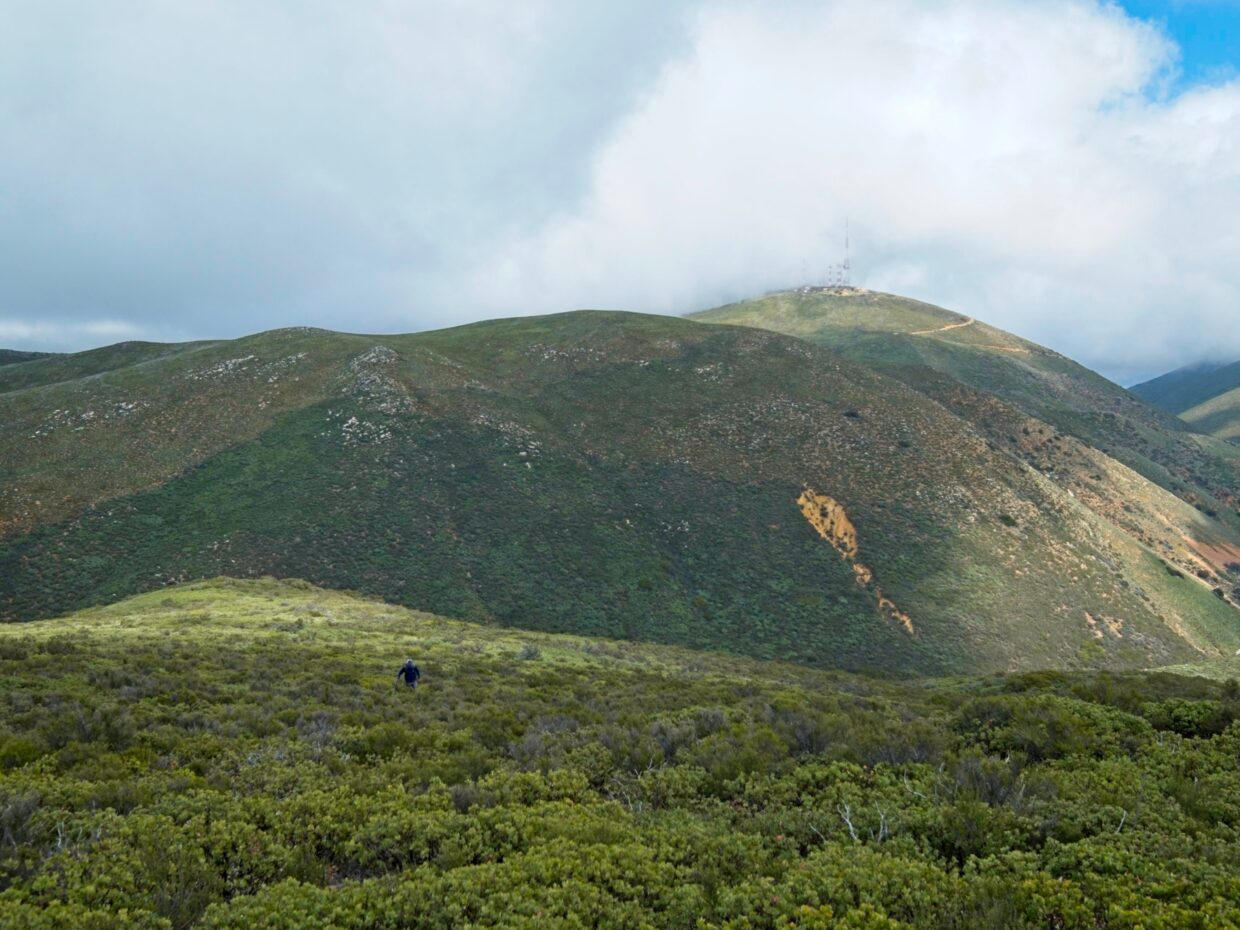
The cross-country hiking is easy at first. We’re strolling through a recent fire scare and the brush is less than knee-high with plenty of space between plants. We shimmy under a surprisingly intact barbed wire fence (why is there a fence all the way out here in the middle of nowhere?) and then begin hiking downhill toward a saddle. We soon leave the fire scare and are pushing through mush taller and denser brush.
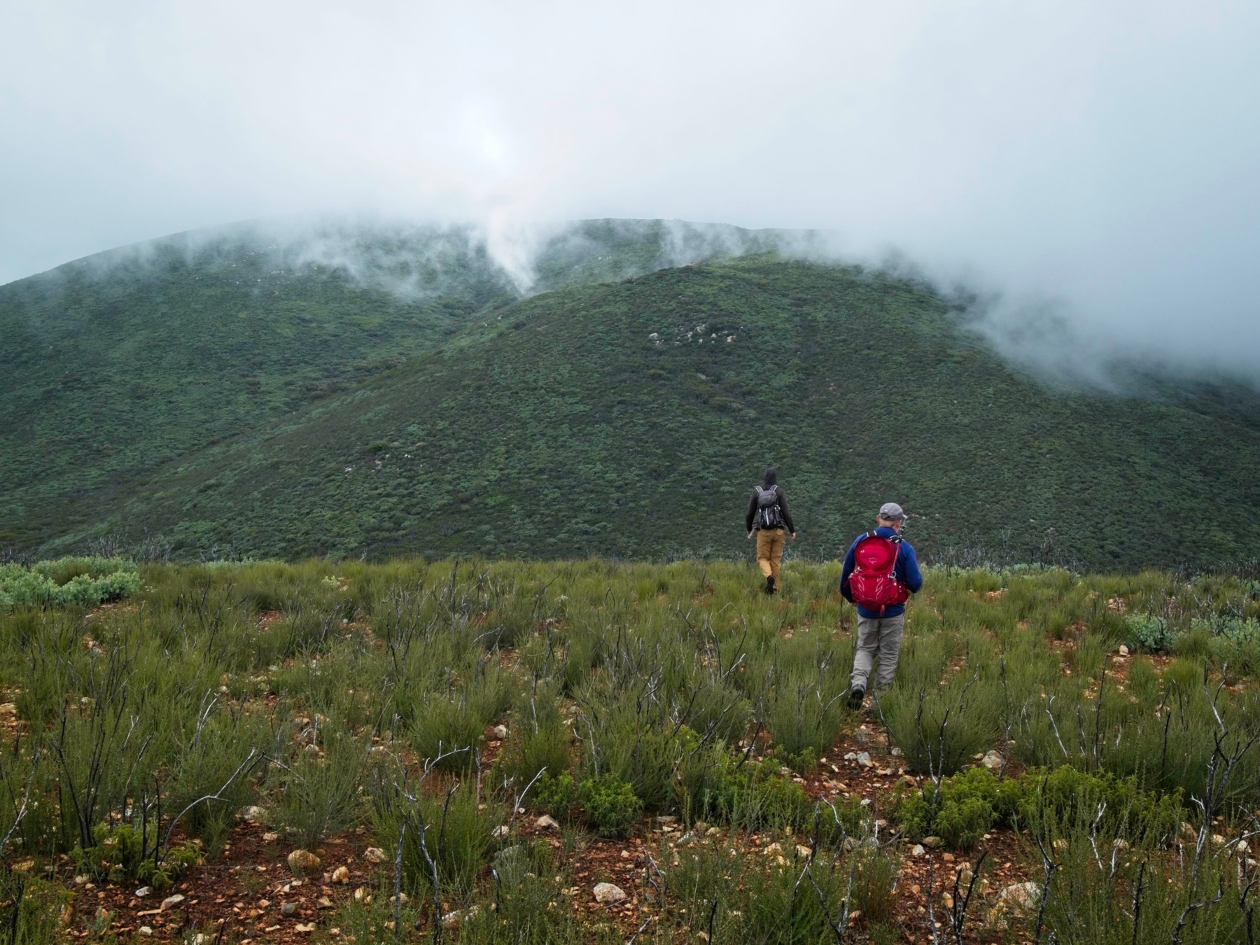
The thickness and height of the brush continues to increase as we reach the saddle and then begin climbing the ridge toward the second Cerro Bola high point. In some places the bushes tower overhead; other times they’re only waist high but still thick as a hedge. Pushing through rips a few holes in my fleece jacket and scratches my exposed hands. Even my pant-covered legs endure scratches and scrapes! Craig B. was wise enough to bring a pair of gloves, but I make do by pulling on a windbreaker and hiding my hands inside the sleeves. I consider turning back a few times, particularly once we reach the ridge top and are pushing through dense thickets of sharp manzanita, but my pride keeps me going.
The brush thins out a little bit higher on the ridge, a welcome respite. There’s still plenty of bushwhacking to do, but I’m able to move much more quickly and with fewer painful jabs. Craig B. reaches the high point first and locates the register. We all join him and relax for 30 – 40 minutes in the sunshine while commiserating about the tedious hiking.


The hike back feels much shorter to me, probably just because I know what to expect. We follow a slightly better line along the ridge and avoid some of the thick manzanita. But there’s no escaping the thick brush entirely. We push through it slowly and steadily, eventually escaping to the thinner brush in the burn scar. I’ve never been so happy to reach charred bushes!

We speed up considerably in the open terrain, shimmy under the fence again, and then hike back down the gravel road toward the tower-covered summit where Mark and Kristie are waiting for us. The 5-mile hike has taken us nearly five hours to complete, a very slow time for such a short walk. Thankfully we’re in no rush. We clean up a bit at the car and then drive off in search of dinner and drinks.


