Diane emailed me at lunch time on Wednesday, March 3, to suggest a springtime backpacking trip in the Southwest. With the easing pandemic restrictions and increasing vaccinations, we were eager to get back out on the trail. After a frenzied speaker-phone planning session the next evening, we settled on a route and an itinerary, just in time for permits to become available at 10 AM on March 5th. Developing a solid trip plan had an immediate and lasting effect on my mood; after a year of uncertainty and endless public health regulations, I suddenly had something to be really excited about!
Diane and I invited Kim and Sam to join us and we had a great time hiking across Zion National Park. Well, as much of it as we could. A large rockfall a few years ago blocked the easternmost portion of the “Zion Traverse,” so our hike ended in Zion Canyon rather than in the eastern backcountry. The trip was not without challenges (most notably poisonous water and miles upon miles of soft, sandy trails), but the spectacular views and ever-changing landscapes were more than enough to make up for the hardship.
Trip Planning
Specs: 38.4 mi | +6400 / -8100 ft | 3 days, 3 nights
Difficulty: Class 1; Angels Landing might be described as class 2 [learn more]
Location: Zion National Park | Home of the Pueblo and Southern Paiute peoples | View on Map
Route: Begin at Lee Pass near the Kolob Canyons visitor center and hike south on the Lee Verkin Creek Trail. Past Beatty Spring, head south on the Hop Valley Trail to the Connector Trail, and then on to the Wildcat Canyon Trail. Finally, follow the West Rim Trail to the valley of Zion Canyon. This route can be reversed, but I think this direction is the most pleasant and rewarding.
Permits & Regulations: Permits are required for overnight trips in Zion National Park. The park website describes the process in detail, but the short version is that you reserve individual campsites up to 2 months ahead of time and then combine your reservations into a backcountry permit. All of the usual backpacking regulations apply (e.g., leave no trace) with one rule that surprised me: you must pack out your solid waste. Bear canisters are not required, but rangers encouraged us to make sure our food containers were rodent-proof. Tickets are also required to ride the park shuttle, but your backcountry permit gets you onto the shuttle to or from your starting or ending trailhead.
Resources: I strongly recommend that you read through all of the information on the Zion backpacking page; you’ll find everything you need to know about current conditions and hazards. The Wilderness Guide on the park newspaper page is also incredibly useful with valuable information about water sources. I used the National Geographic topographic map for this hike and recommend it to anyone hiking in Zion.
Kolob Canyons
23 April, 2021 | 5.4 mi | +400 / -1400 ft | View on Map
My alarm rings out its gentle, insufferable tones at 3:30 AM. I groan as I roll out of bed and groggily prepare for the day. I’m on the road by 4:30, speeding down the empty Los Angeles freeways toward Las Vegas. Kim and Sam are also on their way in a separate car; this is a point-to-point hike so we’ll park one car at each end of the path. The sun rises as I cruise through Mojave desert with Joshua trees and an endless expanse of sage brush as far as the eye can see.
I pick up Diane at the Las Vegas airport (it takes me four loops around the airport to find the passenger pickup area…) and we meet Kim and Sam at the museum inside Zion National Park a few hours later. After shuffling a few things around, we all pile into my car and drive out to Lee Pass, our starting trailhead. It’s a beautiful afternoon, with bright sunshine and moderate temperatures. Today’s hike to the La Verkin Creek campsite #6 is almost entirely downhill and not terribly long, so we take our time and get to know each other. This is my first time meeting Sam, and Diane hasn’t met Sam or Kim before. Time flies by as we bond over high school marching band and our common aerospace engineering backgrounds.
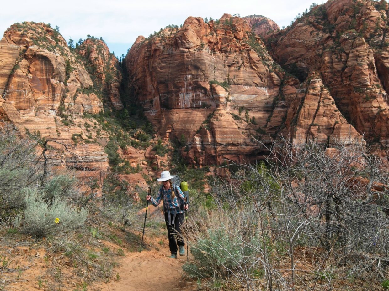
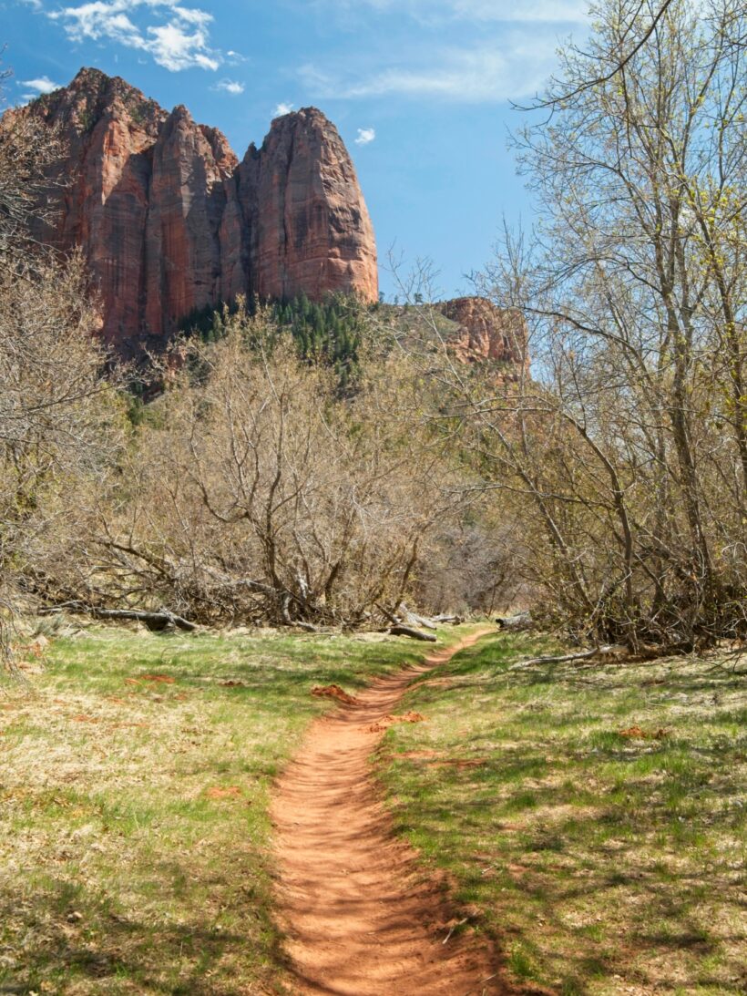
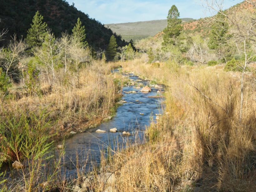
In addition to the excellent company, the hike into the Kolob Canyons area is full of spectacular scenery. We stroll past a series of towering cliffs, their red hues contrasting pleasantly with the juniper and pinyon pine trees below. Some of the deciduous trees are budding, but most are still leafless. We cross Timber Creek a few times and look suspiciously at the water. Most of the water in Zion is currently contaminated by a cyanobacteria bloom that has released cyanotoxins into the water. Unfortunately, the toxins are not removed by the filtering methods we have at our disposal, so we’ll be drinking only from springs and carrying water between them. The water looks perfectly fine, but none of us are willing to risk illness to test the Park Service’s claims.
A few miles down the trail we turn east and hike up one of the picturesque canyons. We reach the campsite in short order and waste no time setting up the tents and dumping our gear into them. It’s a beautiful spot beside La Verkin Creek with a lovely little swimming hole and an expansive view of one of the cliff walls. A few large (about the size of your thumb), black beetles scuttle across the sand but don’t seem all that interested in us or our things.
Our final task for the day is to retrieve water from a spring about a mile down the trail. In retrospect, we could have saved ourselves some time by just packing in enough for dinner and breakfast, but I enjoy the walk, particularly since the sun is bathing everything in warm, golden light. Once we’ve filled our bottles, we hike back to camp and settle down for the evening. I brought leftover falafel for dinner; it’s delicious but very messy!
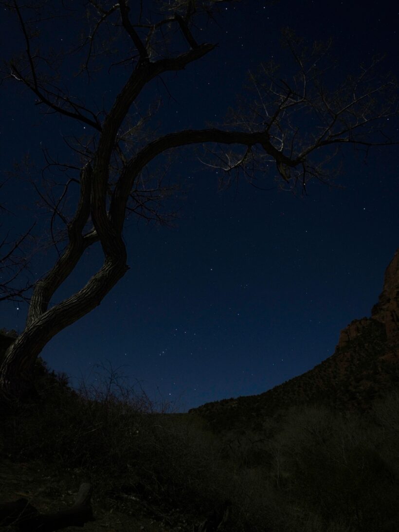
By the time we’re done with dinner and cleaning up, the sun has set and the (nearly) full moon has risen. I brought a small tripod along and take a few pictures of the stars and moonlit landscape. I’m pretty tired after the long day of traveling and hiking, so I hit the sack soon enough and eventually drift off to sleep.
The Valleys
24 April, 2021 | 14.9 mi | +3000 / -800 ft | View on Map
When I wake up in the morning I pull on a few extra layers to guard against the chill. After a tasty oatmeal breakfast I pack up my tent and we all head up the trail toward the spring we visited last night. The sun peaks over the canyon walls and casts its warm glow across the valley, illuminating different features than it did last night.
Before reaching the spring, we turn up a spur trail that leads to Kolob Arch. I enjoy the half-mile walk through a cool, forested, narrow canyon to a clearing where we catch a glimpse of the arch. I’m glad we’re visiting this morning rather than last night; the morning sun lights the arch wonderfully!
After admiring the arch for a few minutes, we return to the main trail and fill up all of our water containers at the spring. We will not pass a single safe water source today. The Hop Valley creek, the only reliable water along our route, is potentially contaminated by the cyanobacteria and is definitely full of cow poop. Our packs are all significantly heavier with 3-4 liters of water, just perfect for the next part of the hike that climbs about 650 feet from La Verkin Creek up into Hop Valley. Thankfully, there are plenty of beautiful wildflowers along the way to justify stopping for photo breaks.
As we climb higher, our view of the La Verkin Creek canyon grows wider and more impressive. I stop at nearly every switchback to snap a photo; you never know which switchback will be the last one with a view! We all pause at the top of the switchbacks for a snack and water break.
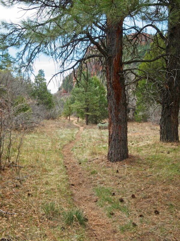
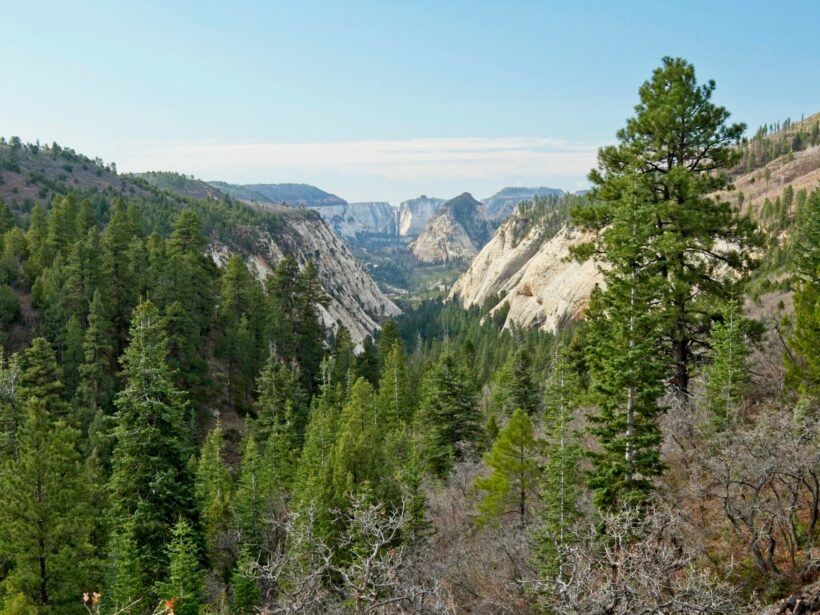
The trail soon leads us through a cozy pine forest, a very different ecosystem than we’ve encountered so far. If not for the brilliantly red cliffs peaking through the pines, this could easily be anywhere in the mountain west.
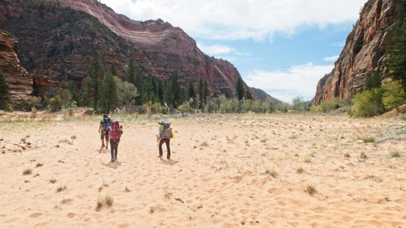
We soon leave the pines, however, and descend into an incredible-looking valley. A shallow creek winds through an expansive sandy meadow, framed on both sides by red cliffs. When I originally read about Hop Valley and its cattle pastures, I imagined a dull green landscape full of sage brush and desert grass, like something you would see in Wyoming. But this is nothing like the plains of Wyoming. The sand squishes softly underfoot as we trudge across the canyon floor toward the creek and another grove of pine trees. A group of horseback riders approach from up the canyon and pass us by with a few cheerful hellos!
While the hike up Hop Valley is nice and flat, the soft sand makes every step a chore. My feet are continually sinking and slipping through the fine grains; if you’ve ever walked across sand dunes, you’ll appreciate the toll this takes on your speed. Luckily, we’re not in a huge hurry and take the time to appreciate the beautiful canyon. We pass through several gated fences and see plenty of dried out cow pies, but don’t spy a single cow.
By the time we reach what I would call “upper Hop Valley,” my mood has soured somewhat. The bright sunshine that greeted us this morning has transitioned into gloomy, overcast skies and I’m just really tired of squishing through the sand. We soon leave the valley behind via a set of rocky switchbacks and trudge along a wide path that parallels some interesting cliffs. The entire face is covered in scratch marks, like a giant has run a fork over the stone. But the scratches are not all in the same direction like you might expect from a layered sediment deposit; they crisscross in ways that none of us can explain.
I struggle through the final mile of our journey along the Hop Valley Trail in deep, soft sand and rejoice when a parking lot comes into view. The lot is chock-full of horse trailers; one group of riders arrives right on our heels. I’m happy to dump some garbage (including a used wag bag) into the bins and take advantage of the pit latrines before we head back out into the wilderness. An enthusiastic trail runner tells us that the path ahead is spectacular, which cheers me up a bit. She and her partner began this morning at the Lee Pass Trailhead, ran most of the way to where we’ll camp tonight, and are on their way back. That’s a 35+ mile round trip! I cannot imagine running that far in a day…
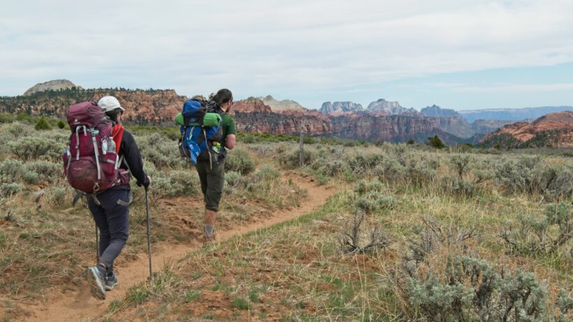
The trail runners’ predictions prove accurate and we’re soon strolling down a packed dirt trail and admiring sweeping views of colorful canyons. I never thought I’d appreciate dirt and rocks so much, but after 5-6 miles of continuous sand, a solid surface to walk on feels amazing! Part of the trail even ascends a long slab reminiscent of “the wave” in Arizona. Along the way, we’re treated to a nice view of Pine Valley Peak and some incredibly vibrant paintbrush.
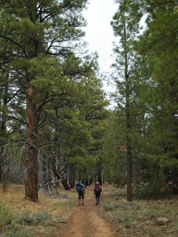
Further down the trail we enter another open pine forest that obscures our view of the majestic canyons but is pleasant enough. The path is easily wide enough to walk shoulder-to-shoulder and is more or less completely flat. We spot our first large wildlife of the trip while strolling through these woods: a pair of grazing mule deer!
Our destination for the day is a section of the wilderness where dispersed camping is permitted; Zion National Park calls this “at large” camping. We wander through an open meadow surrounded by pines and dense clusters of leafless oaks, searching for a suitable campsite. It can be a little tough to find a good spot and follow the leave-no-trace wilderness ethics. We need a spot that is at least several hundred feet from the trail (difficult to see that far), is flat enough for tents, and is a “durable” surface. Most of the flat areas in sight are covered in grass, which is not durable. We eventually spy a great-looking location across the meadow: a shallow hill covered in pine trees. I make a beeline across the meadow and am happy to find a perfect spot with clear indicators that others have camped here before.
Everyone is very tired (drat that sand!) but not tired enough to skip dinner. So after pitching our tents, we gather in a little clearing and start on dinner while enjoying an expansive view. I appreciate the hot food in the chilly evening air, particularly when the wind picks up. We’re treated to a nice sunset and sit around talking for a little bit but are all too tired to stay up past hiker midnight (i.e., nightfall). So after brushing my teeth, I say goodnight to everyone and crawl into my sleeping bag.
West Rim of Zion Canyon
25 April, 2021 | 12.6 mi | +1500 / -2100 ft | View on Map
After yesterday afternoon’s gloomy, overcast weather I’m happy to see blue sky this morning! Bunches of bright yellow arnicas add and an incredible view down Wildcat Canyon add a little extra cheer to the morning walk. We stop at wildcat spring to refill our water bottles. Thankfully, we don’t have to carry too much today since we’ll pass a spring in Potato Hollow and will camp right next to a spring tonight. I’m surprised at how little water is flowing from this spring, particularly since it’s still early spring up here at 7000 feet above sea level.
We soon reach the Lava Point Trailhead and are disappointed to not find a pit latrine. There is supposedly one up on Lava Point, an outcropping of basalt above the trailhead, but it’s too long of a walk to be worthwhile. I’m curious about the volcanic rocks here; volcanic activity seems sort of out of place in a landscape of sedimentary rock shaped by erosion. The park volcano page is full of fascinating information on the subject! This interactive map from the Utah Geological Survey is also awesome with information about all of the rock formations in the state.
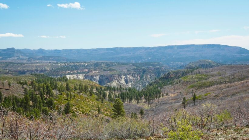
From Lava Point, we stroll along a ridge through manzanita and pine trees that would be perfectly at home on Mount San Antonio (a.k.a. Mt. Baldy) in L.A. A stiff breeze keeps us cool despite constant sunshine. With very little elevation change and firm, solid ground, it’s a very pleasant walk.
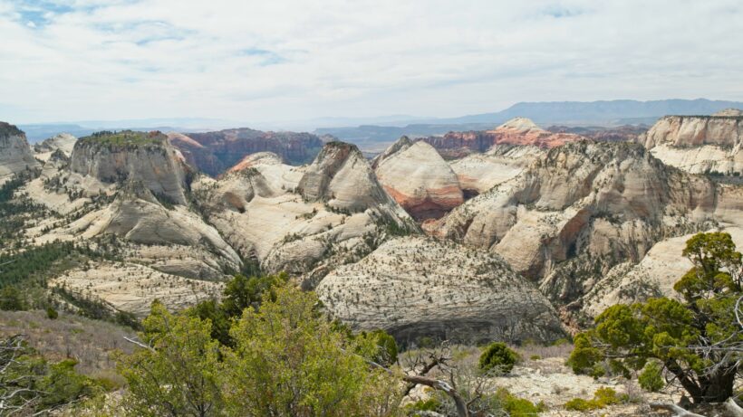
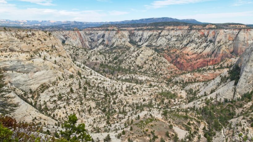
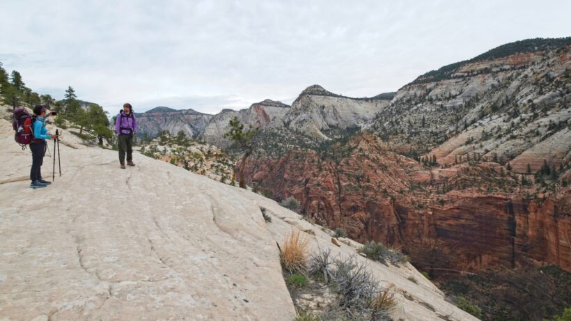
After a few hours we decide to look for a shady spot where we can sit and eat some snacks. As luck would have it, we happen upon the most incredible lookout just a couple of minutes later. A complex set of canyons opens up below us with red and white walls and a smattering of juniper and pine trees in the valleys. The canyons stretch on for miles!
Rows upon rows of cliffs to the east remain visible as we continue along the ridge. I’m glad to be out here, far from the crowded main canyon. While Zion Canyon is awe-inspiring, so is most of the rest of the park! And the only way to see it is to venture miles and miles into the backcountry.
The trail eventually descends from the ridgetop into Potato Hollow, a curious valley full of long grass, charred trees, and dense thickets of young saplings. A forest fire clearly swept through here some time ago, but despite the new growth it still has an air of melancholy. Perhaps it’s just the bare trees; the spring leaves haven’t quite appeared yet, so even the living trees appear dead. We make our way over to the Potato Hollow Spring but don’t find enough flowing water to fill our bottles. We’re not desperate enough to gather any of the murky, moss-filled pond water so we move on.
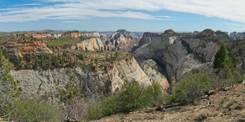
The trail climbs steeply uphill from Potato Hollow to another ridgetop where we break for lunch and admire yet another spectacular view of canyons and mesas. The stiff breeze that kept us cool this morning has grown to a fierce wind that threatens to steal my hat and blasts sand into my face. We pause many, many times to check out the scenery as we traverse across the plateau.
After several miles chock-full of awesome canyons we descend into a sheltered area on the north aspect of the plateau. Our campsite (west rim #1) sports an incredible view of Zion Canyon and is simply a beautiful spot to relax. We meander down to the nearby spring to fill up our water bottles. The sandstone cliffs drop away just below the spring, offering a stomach-turning glimpse into the canyon.
With plenty of daylight remaining, we hang out at the campsite and chat. Later in the evening a pair of deer warily approach and graze on the soft grass that surrounds the tents. They’re a little skittish but come within ten feet of us as we sit and watch them while eating our own dinners. We watch the sun set from camp and then head to bed so that we can get an early start tomorrow.
Zion Canyon
26 April, 2021 | 5.5 mi | +1300 / -3800 ft | View on Map
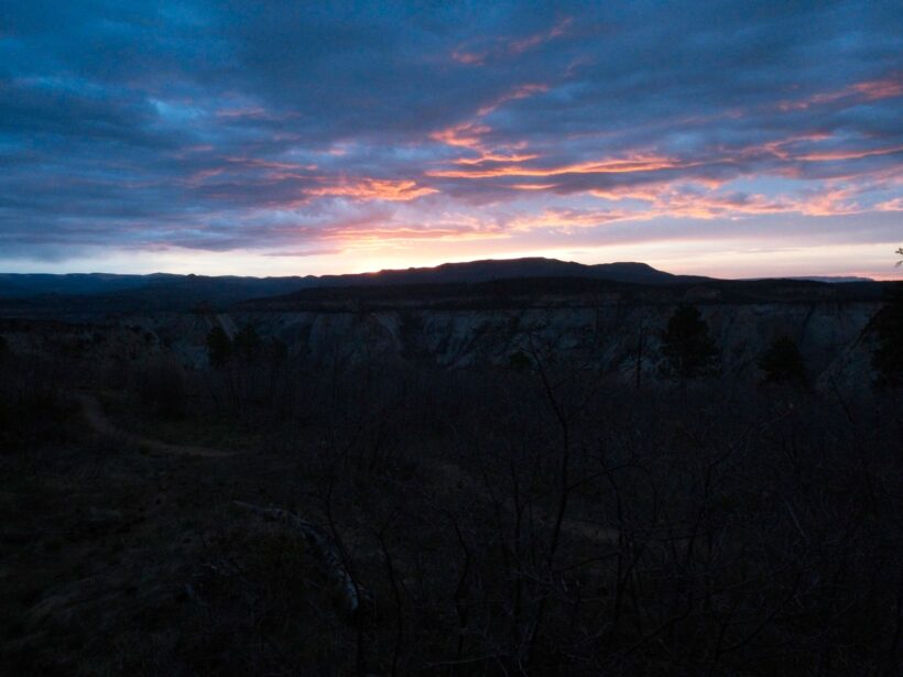
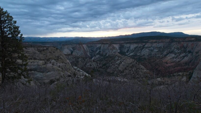
Today is our last day in Zion National Park. We start early, before dawn, to give ourselves plenty of time to enjoy the hike out and still get everyone home on time. The sun rises as we pack up camp, a colorful event due to the mostly overcast skies above with a slim gap on the eastern horizon. By the time we start hiking, it’s plenty light enough to see the trail.
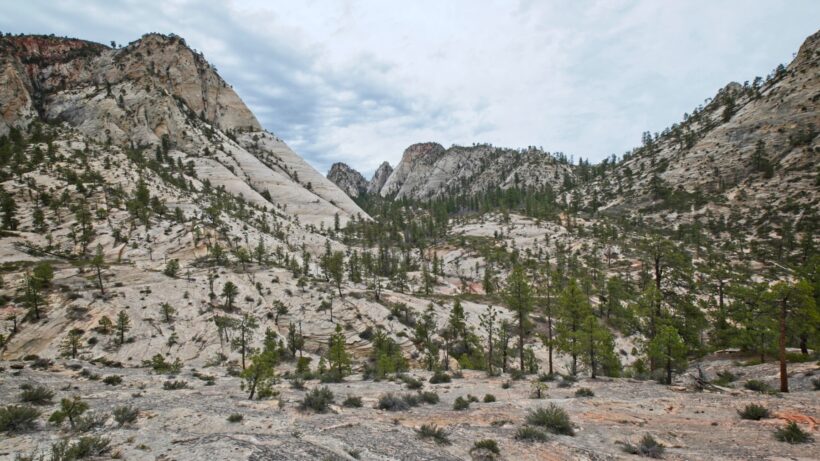
The hike down into Zion Canyon begins on a stony trail blasted into the side of the white sandstone cliffs. We follow the switchbacks to a narrow saddle between two canyons and then continue descending into some groves of small maple trees. Last year’s leaves still cling to the branches even though this year’s leaves are already appearing, which is a fun little juxtaposition. As we descend into a wide basin of white sandstone, we catch a glimpse of the spring we gathered water from on the cliffs above; a thin streak of wet rock stretches hundreds of feet down to the basin floor.
After descending about 1300 feet and crossing the basin, we climb a few switchbacks and contour around a massive sandstone cliff to reach the rim of the familiar Zion Canyon. The Virgin River twists through the green canyon floor some 1500 feet below, surrounded by dark red sandstone cliffs. We take a few photos and then continue descending.
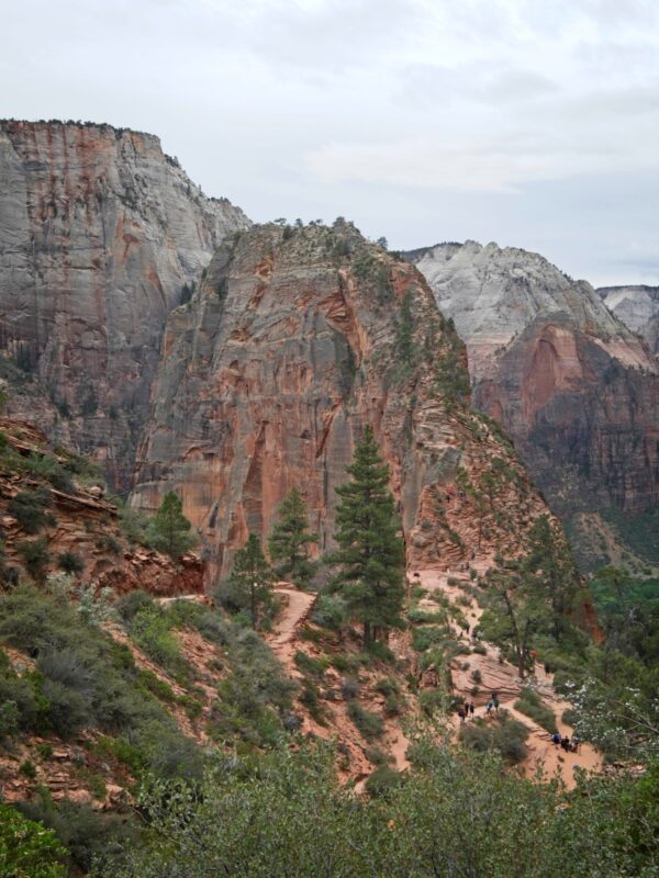
Angels Landing, a massive fin in the center of the canyon, soon comes into view. From a distance, we can see little dots moving up and down the arête, far more than I expected. It’s only 8:30 AM, and a Monday morning to boot! We make our way down to a small clearing below the towering mass of rock and look for a place to stash our backpacks. I’m a little nervous about leaving our things out in the open; I don’t trust the hikers, and we’ve already spotted several inquisitive ground squirrels that will likely chew holes in our packs looking for food. We decide to hike back up the trail a few hundred feet and leave our backpacks there. None of the day hikers are climbing past this little landing (they’re all headed up Angels Landing!), and we didn’t see any squirrels up there.
After dropping our packs and grabbing a snack for the hike, we return to the landing and then begin climbing up toward Angels Landing. It’s a steep climb, but there are solid, level steps carved into the sandstone, plenty of natural handholds, and a chain running practically all the way up. There are several spots where the ground drops away for several hundred feet; even with a perfectly secure spot, it’s enough to turn your stomach! Diane begins to feel the onset of a paralyzing bout of acrophobia (fear of heights) and decides to turn back before it intensifies. Sam, Kim, and I continue upwards, navigating around descending climbers to reach the summit. We wait in line to take the requisite photo and then begin the descent. We do a lot of waiting for ascending climbers and begin to get a little goofy – someone proposes a club remix of “Edelweiss” that remains hilarious all the way back to the landing.
A gentle drizzle begins to fall when we reach Diane, who is guarding our packs from a squirrel or two that found them despite our efforts to hide them. I’m glad we were able to get up and down the precarious climb with dry ground.
The path down to the Zion Canyon floor is practically a highway compared to the trails we’ve traveled this weekend; wide, packed full of people, and paved! As we trudge down the steep switchbacks, I’m acutely aware of the faint scent of poop drifting from the wag bags in our packs (even though they’re double- or triple-bagged!) … ah, the joys of packing out your waste. I’m not sure if the passing day hikers notice, but if they do they’re too gracious to comment on it. I certainly notice their deodorant, perfume, and laundry detergent.
Down at The Grotto, we board a shuttle bus and ride to the visitor center. A short 1-mile stroll along the Pa’rus Trail takes us back to the museum and Kim’s waiting car. After dumping our trash and taking advantage of the running water to clean up a little, we pile into the car and drive back to the Lee Pass Trailhead to retrieve my car. The drizzle turns into a downpour as we drive, but it doesn’t matter to us now – we’re done!
Back in town, we meet up at the River Rock Roasting Company and enjoy a delicious meal and one of the best beers I’ve ever had. Then it’s back into the car to drive home… a long way to go, but worth it for this incredible weekend trip!






















Kym 24 April 2023
This was such a wonderful narration of your traverse! Thank you for sharing. I’m hoping to do this hike if I can secure the campsites.