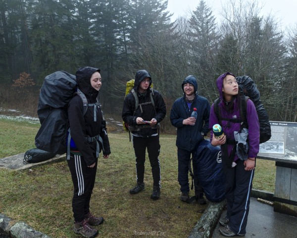
This the second installment of a two-part trip report on the Smoky Mountains winter backpacking trip. To read about the first three days, check out Part I.
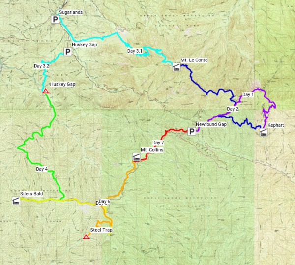
On days 1-3, I and my fellow backpackers hiked from Newfound Gap to Kephart Shelter, then up to the summit of Mt. Le Conte and onward to the low-altitude Sugarlands Visitor Center. We traversed icy trails, saw some fantastic walls of mist, and crunched through miles of snow. We also wondered at snow-covered pines, enjoyed moments of warm sunlight, and walked past dozens of daffodils. Unfortunately, Parand left us on day 3 to recover from a bout of dehydration and hypothermia, so our crew is now down to seven.
Winter Wonderland
March 14, 2018 | 11.0 mi | +3700 ft / -900 ft | View on Map
We gathered a little “intelligence” during our brief visit to civilization yesterday: an updated weather forecast. It was supposed to snow last night, beginning at approximately 8 PM. Seeing as how we were all in bed by about that time, one of my first questions, when I wake up this morning, is, did it snow?
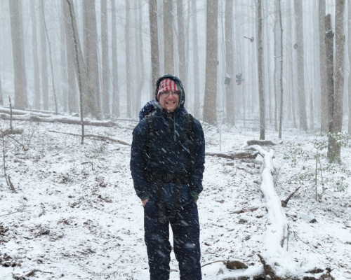
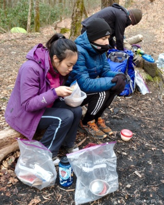
Nope. The ground is still as dry as we left it last night. I’m the first one out of bed, so I retrieve everyone’s bags from the bear hang and start heating water for breakfast. The rest of the group soon joins me on the ground and everyone is happily eating in no time. After breakfast, we begin packing up our gear. Soon after my watch ticks past 8 AM, snowflakes begin to fall from the sky. Maybe we misread the forecast? Or maybe it was just 12 hours off.
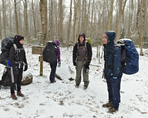
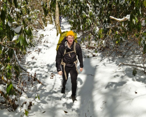
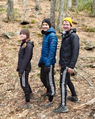
Thankfully, the snow is not too wet and the fluffy flakes are easy to brush off our gear as we finish packing everything away. Once everyone has donned their packs, we hit the trail. We’ll climb back up to the main ridgeline and the Appalachian Trail (AT) today, which is a lot of elevation gain, but the first several miles should be a nice gradual slope. We leapfrog with another backpacking college student from the University of Illinois as we hike up the gentle trail. It’s a quiet, peaceful morning in the woods, made even more so by the softly falling snow.
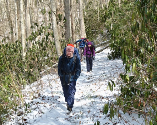
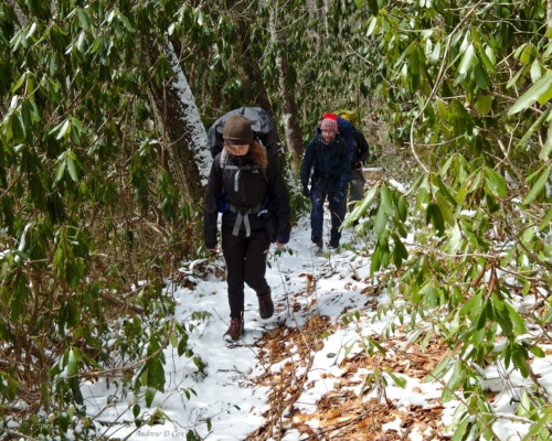
After an hour or two, the sky lightens and the precipitation ends. The trail, covered in a few inches of freshly fallen snow, winds through rhododendrons alongside the Little River, which, while certainly little for a river, is much larger than I anticipated from the map. Our original route for tomorrow’s hike had us crossing a similarly sized waterway, Forney Creek, multiple times. The rangers strongly discouraged that option, but I’ve been toying with the possibility of hiking that route, especially if it is warm. However, after seeing the depth and speed of the water here, while walking through several inches of snow, I’m convinced that the rangers were right: it would be unwise to attempt so many river crossings.
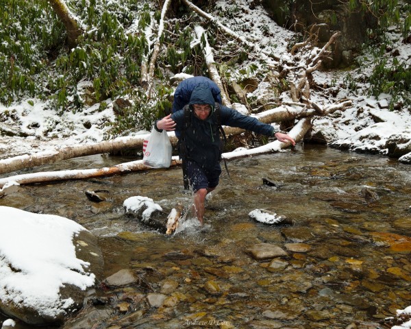
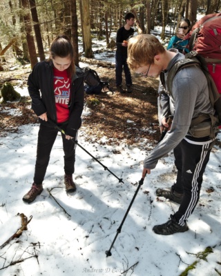
With that aversion to wading through water fresh in my mind, we reach a creek that crosses the trail. While it would be relatively easy to rock-hop across on a summer day, the fresh snow makes firm footing on any of the stones dubious at best. We take the opportunity to practice good creek crossing technique: stability first. It might be possible to hop across the rocks and logs, but a slip would mean losing control and falling completely into the water, or even injuring yourself. It is far safer to wade across and maintain stability, even if it means wet feet. To avoid having soggy shoes, many of us change into sandals, wade through the frigid creek, and then pull our (still dry) socks and shoes back on once we’re on the opposite bank. Others simply wade through in their boots, confident that the water-proofing will suffice.
Shortly after completing the first stream crossing, we reach another. Nobody really wants to repeat the tedious shoe-removal process, but we’re in luck: the rocks are flatter and the water is shallower, so nearly everyone manages to hop across without wetting their feet.
Past the river crossings, the trail slope steepens and we find ourselves crunching through increasingly deep snow. However, the sun has also reappeared, so it’s difficult to be too grumpy. We trek on for a while, admiring the scenery and listening to the birds chirping. A sparrow hops in front of me as if he is leading me up the mountain. Every time I get within a few feet, he flutters his wings and then glides further down the trail. After a few minutes, he flies off to the side and lets me pass.
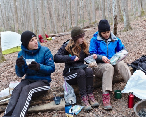
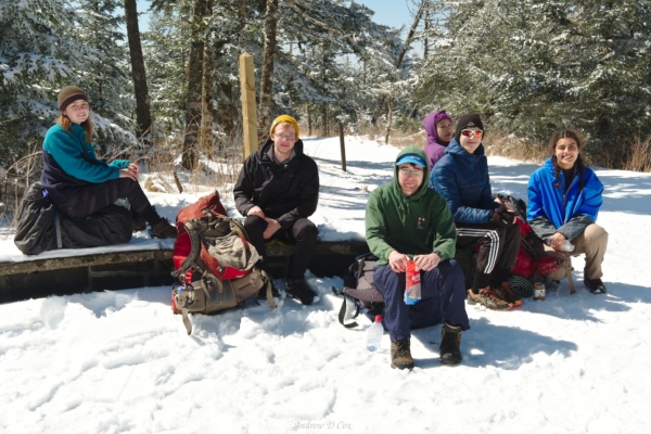
We stop for lunch in a sunny spot just off the trail. There aren’t many dry seats to be found, so we sit on top of our packs or jackets. From our location, we scope out as much of the surrounding landscape as we can through the foliage. A hill of frosted trees in the distance is reminiscent of Mt. Le Conte; hopefully, we’ll stay off that particular mountain and avoid what looks like a very cold location. After eating, we get a move on because, even in the sunshine, it starts to get chilly when you sit for too long.
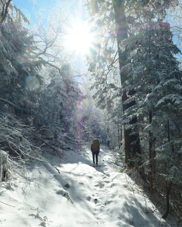
The higher we climb, the deeper the snow becomes. But with the deeper snow comes breathtakingly beautiful winter scenery. I fish my sunglasses out of my pack and we all put on sunscreen to avoid burning; it might be chilly, but those UV rays are bouncing off of every snow-covered surface!
Near the top of the ridge, we encounter a disturbing scene: two backpacks, a sleeping bag, and a tent are sticking out of the snow in the middle of the trail. The tent is pitched haphazardly over a fallen tree, and every single piece of gear is frozen solid; it must have been here for at least a few thaw-freeze cycles. We do a little digging and find entire boxes of pasta, powdered milk, and a wool hat. Where did these backpackers go? Why is most of their gear still here? Questions without answers, it seems.
The deep snow and steep slope make for a tough final few tenths of a mile. The AT is a welcome sight: packed snow and a ridge walk, theoretically more level than the trail that brought us up to these heights. An older couple pass by while I and a few others wait for the rest of the group. These folks are thru-hikers, and they wish us good luck with the cold night ahead. Yay… another frigid evening.
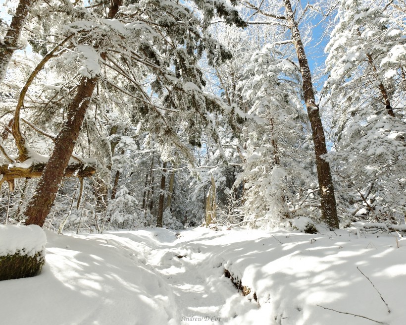
Soon enough, everyone in our group arrives at the AT junction and, after a water and snack break, we turn south-bound (SOBO) on the AT. Our destination for the evening is the Silers Bald shelter. We reach the Double Spring Shelter first and, to my surprise, find at least 15 people there. When I strike up a conversation with them, I learn that every last one is a thru-hiker! I didn’t anticipate so many of them to be on the trail this early in the season, but they inform me that they’re trying to beat the big “bubble” of hikers that begins in late March and early April down in Georgia. Apparently, as many as several hundred hikers begin their trek from the southern terminus each day during that bubble. So I can see why they’ve decided to begin early. Hiking with hundreds of people sounds terrible.
We refill our water bottles at the nearby spring, and several of us take advantage of the privy at Double Spring shelter; there isn’t one at Silers Bald. While waiting, I spy a tent-shaped patch of grass out in the sunshine and walk over to investigate. To my great pleasure, I discover that the grass is dry! I waste no time stretching out on the snow-free, sun-bathed turf and sigh with satisfaction. This is the life.
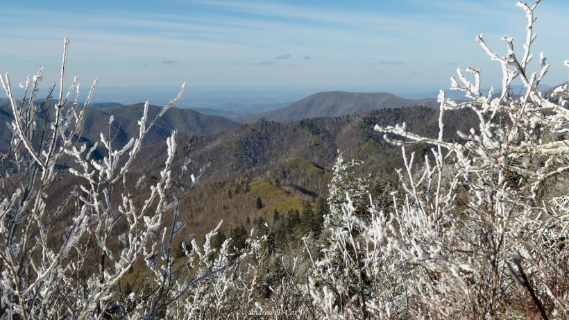
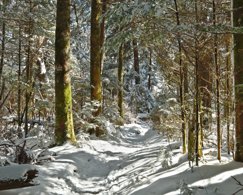
Once everyone is ready to hike, we move on. The AT follows the undulating ridgeline, sometimes climbing, sometimes descending, but never by very much. The snow remains deep, though it is well-packed in most places. A few spots along the way provide sweeping views of the surrounding country. Most of the distant trees are gray or green, not frosted with snow and ice like those around us.
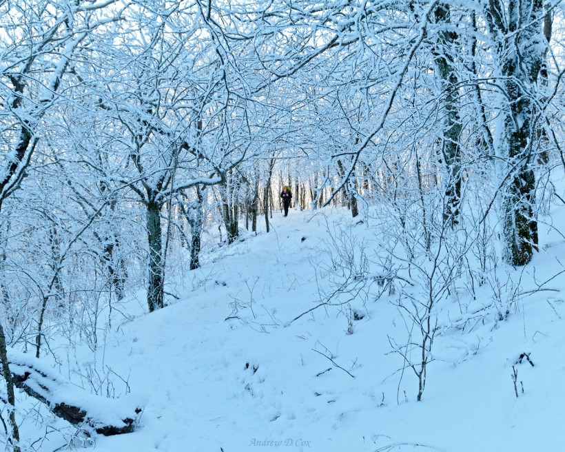
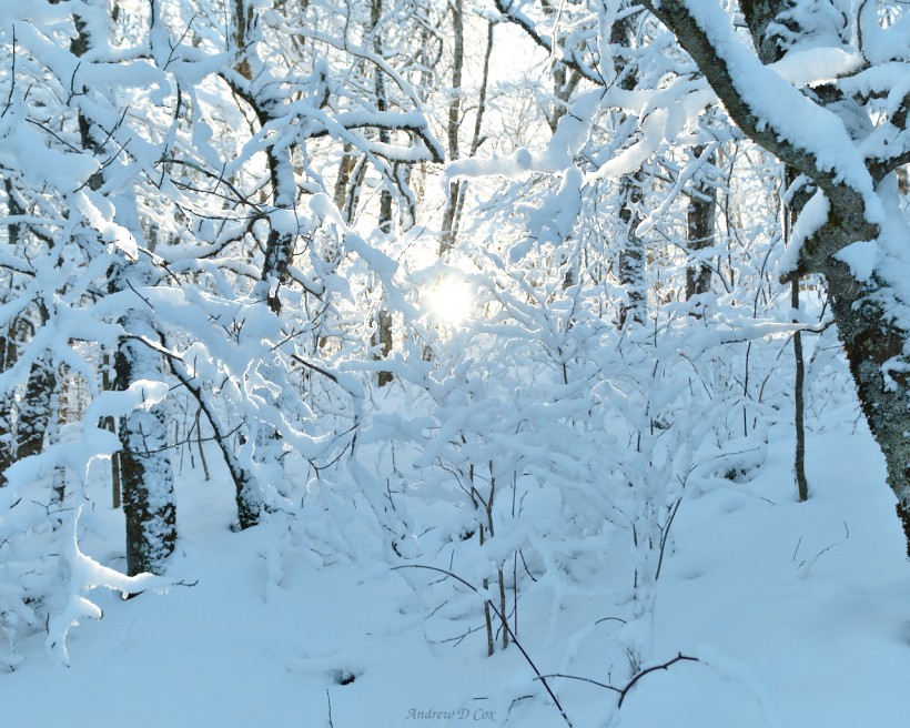
Just before reaching the Silers Bald shelter, we hike through a grove of trees so covered in snow that the entire world seems to be white. Even the sky is mostly colorless, although the horizon is tinted light gold. The only sound that reaches my ears is the crunch, crunch, crunch of my shoes in the snow. It’s a peaceful place.
I’m the first to arrive at the shelter and join a thru-hiker named Scars that is already there. Soon, the rest of my group trickles in, as do more and more thru-hikers. By the time the sun sinks below the horizon, we have a full house! I think I speak for all of us when I say we enjoyed talking to the other hikers. They hail from many different parts of the world and from different paths in life. Some are retired, some are fresh out of college, others are in-between.
Regardless of their background, everyone agrees on a few things: it’s beautiful out here and it’s really freakin’ cold. With darkness falling and the temperature dropping, we all crawl into our sleeping bags and go to sleep.
Clingmans Dome and Andrews Bald
March 15, 2018 | 9.3 mi | +2000 ft / -3300 ft | View on Map
I hide in my sleeping bag for longer than usual this morning. Since we’ve adjusted our route to avoid stream crossings, our total mileage isn’t terribly high today and we’re in no hurry. Although I know it isn’t as cold as our night on Mt. Le Conte (my shoes are malleable rather than frozen solid this morning, for example), I’m still chilled to the bone. The wind is fierce and makes boiling water extraordinarily difficult. Greg’s stove won’t even turn on in the cold, windy conditions, and my stove takes forever to boil a even few cups of water.
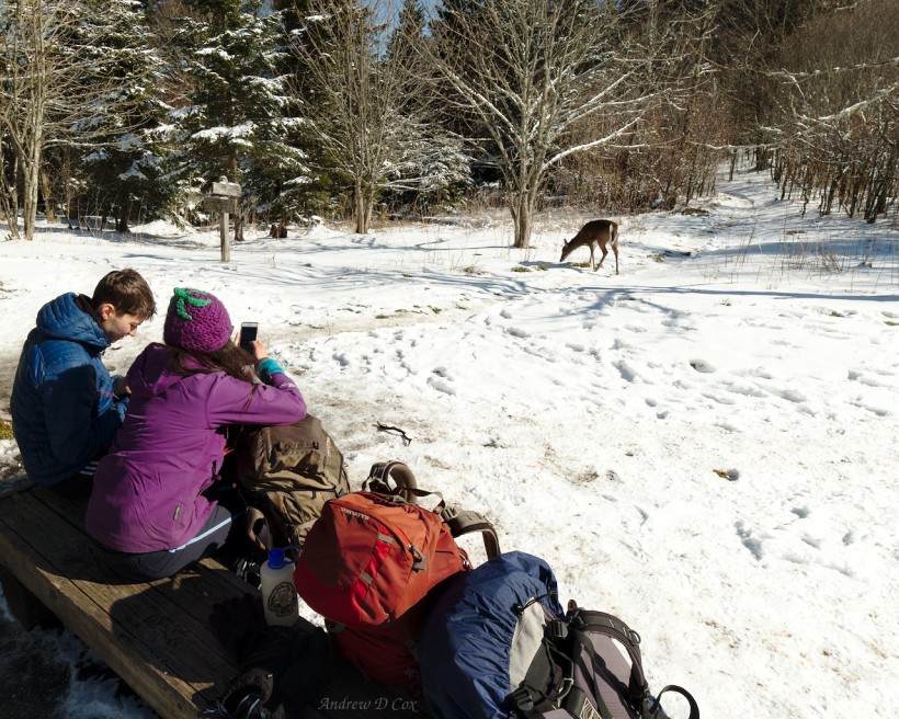
I’m eager to get moving and warm up! Once everyone has packed their things, we retrace our steps on the AT and walk back to the Double Spring shelter. Lulu is having a rough time during the first few miles but feels much better after drinking an entire liter of Gatorade. We spend an hour or so relaxing at Double Spring; it has that privy, after all, and don’t forget the glorious patch of dry grass! A few deer wander about nearby, munching on grass and salty snow that hikers have urinated on. They’re not very afraid of us and don’t move away until we’re within a few feet of them.
We eventually leave the Double Spring shelter and continue north-bound (NOBO) on the Appalachian Trail. Our goal for this morning is to reach Clingmans Dome, the highest point in Tennessee and the highest point on the AT! As the sun rises high into the sky, the temperature rockets upward and the snow soon turns to slush. Icicles fall sporadically from the pines, some just barely missing us as we walk beneath their branches.
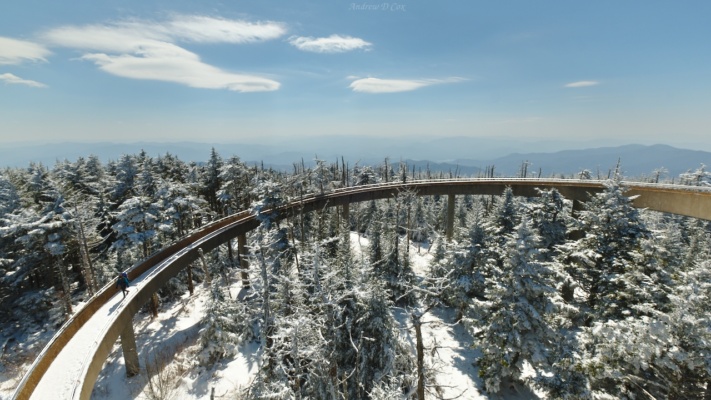
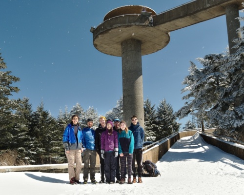
We stop for lunch at Clingmans Dome and check out the views from the observation tower. The immediate foreground consists of frosted pine trees and snow-covered hills, with hazy mountain ridges fading into the distance in every direction. Signs on the tower identify specific peaks and other notable landmarks for miles in every direction. From this high vantage point, most of our route is visible: Newfound Gap, Mt. Le Conte, the Sugarlands, and the Little River drainage. I’m always amazed at how far you can travel in just a few days’ walk.
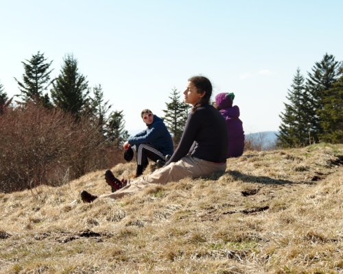
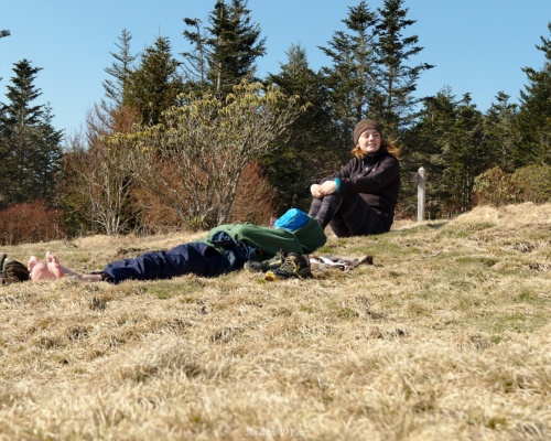
After admiring the views and chowing down on delicious backpacking food, we hit the trail again, this time heading downhill to Andrews Bald. The 1.7-mile hike is fairly easy and mostly downhill, though quite wet with melting snow. An hour or so after leaving Clingmans Dome, we emerge from the forest onto a grassy meadow on top of the ridge; a sign identifies it as Andrews Bald. I take off my shoes and socks and lie down on the soft, dry meadow. The warm sun feels amazing, but the gusty wind counteracts the warmth a bit and threatens to blow my socks away.
We stay long enough to appreciate the meadow and then head back up the trail. I would love to return when the meadow is green and growing. I’m sure there are all kinds of wildflowers to see, and maybe even some little squeaking ground squirrels.
Our final destination for the day is backcountry campsite #68, i.e., Steeltramp Campsite. At first, the trail is covered with a layer of wet snow, but we soon find ourselves treading on dry leaves. Several fallen trees lie across the trail, which winds somewhat precariously along the hillside. It certainly doesn’t seem like a well-traveled track, but (if you’re a regular reader, you should know this by now) it’s my favorite kind of trail; something between a game trail and a properly worn footpath.
The sun is out in full force today, and we enjoy a pleasant walk down to the campsite. The days and miles are beginning to take their toll and everyone is a little tired. We cross a rocky stream and stand, staring at a hillside of moss-covered rocks, searching for the trail. After a minute or two, McKenzie points out that the trail does a sharp switchback behind us, back on the other side of the stream. We return to the trail and continue downward toward camp.
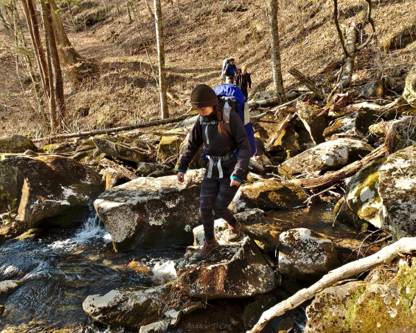
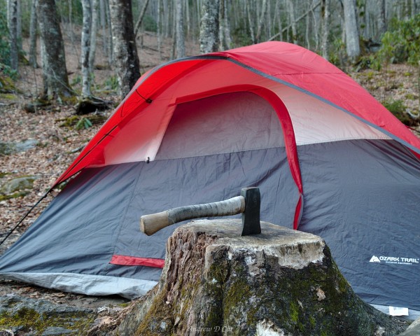
The Steeltrap campsite is not nearly as spacious as the Huskey Gap site we stayed at a few days ago. I remember one of the rangers told me that two camping areas exist here, one above the cascade and another below, but the only tent spots I can see are those below the cascade. Previous visitors have left various items around the area, including two large tarps, a variety of tent stakes, and a perfectly good hatchet buried in a stump. I don’t know why they would leave so many items behind; perhaps they’re coming back for them?
We set up our tents on the available flat surfaces and then get started on dinner. Thankfully, the temperature is much warmer than it was last night, and there is little wind. Greg, Lulu, and I all manage to light our stoves with minimal cursing and soon have plenty of hot water. We’re laugh and joke while eating dinner; it’s so much easier to be cheerful when it’s warm out!
I’m as tired as the rest of the group, so I don’t stay up much longer than I have to. After eating, I brush my teeth, hang my scented items from the nearby pulleys, and crawl into bed. I appreciate the fact that I don’t have to hide from the cold tonight; I’m going to have a good, long, uninterrupted sleep!
Appalachian Trail Walk
March 16, 2018 | 7.5 mi | +3200 ft / -1400 ft | View on Map
I did indeed sleep well – probably the best I’ve slept this week! Our destination today is the Mt. Collins Shelter, a mere 7.5-mile walk from here, so we take our time this morning. It’s a great morning – not only is it warm, but the skies are also clear (sunshine!) and it isn’t precipitating!
Remember that long downhill walk we enjoyed yesterday afternoon? Well, today it’s a long uphill walk. A lot of the scenery looks new to me, perhaps because I was tired and not paying attention during the hike down. Some of the snow has melted as well, so the upper bit of trail is drier than when we walked through yesterday. We take a brief rest when we rejoin the trail that connects Clingmans Dome and Andrews Bald and play Tic Tac Toe in the snow.
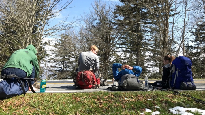
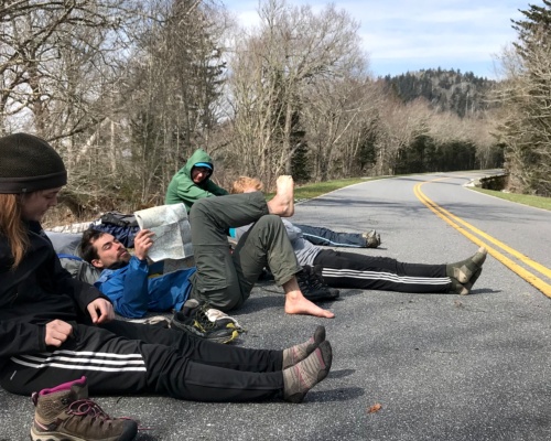
A few miles and one lunch break later, we return to the Appalachian Trail and finally step foot on new trail (i.e., trail we haven’t already walked). Thanks to the warm, sunny conditions, we are treated to a rainstorm of melting snow as we make our way through dense pine forest. A symphony of “forest kisses,” if you will, like the “cave kisses” you receive from dripping stalactites underground. The group spreads out a bit as everyone settles into their own pace, but we eventually meet up at a spot where the AT passes by the road to Clingmans Dome. The road isn’t open for the summer yet, so we take advantage of the dry pavement to stretch out and rest. Tibor, who isn’t feeling well, takes a few painkillers to mitigate his symptoms.
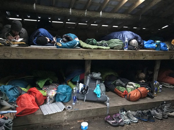
Our remaining trek to the Mt. Collins Shelter takes us through more dripping trees, including some incredibly dense pines. When we arrive at the shelter, we find it bustling with thru-hikers. Anxious to secure spots, I toss my gear up on the platform and the rest of the group follows suit when they arrive. There’s a privy here, which might explain the popularity. Also, the next shelter is about seven miles away, so any thru-hikers in the area will stop here for the night.
As we cook and eat dinner, more and more hikers arrive. There must be at least 18 inside the shelter, and even more outside in tents and hammocks. I enjoy meeting other hikers, but this is just downright crowded!
Since we’re back up at higher altitude on the ridge, the temperature drops into the chilly-cold range and I retreat to my sleeping bag after dinner. As I settle down for the night, I hear a retching noise come from Tibor’s sleeping bag next to mine. I pop my head out and find Tibor sitting up with vomit on his clothes and sleeping bag. He and I clean it up as best we can with some wet wipes donated by a thru-hiker and then make a decision: it isn’t going to be a warm night, Tibor’s insulation is now wet, and he may very well vomit again, so our best bet is to hike out. It’s a five-mile walk, but I figure we can make it to the closed road in less a mile and follow it down to Newfound Gap where my car is parked.
So, Tibor and I pack up our things, brief the rest of our group on the plan, and start walking. It’s a beautiful night for a hike, really. Once we’re moving, my body warms up and I enjoy the comfortable walk. We reach an intersection of the road and trail soon after leaving the shelter and then transition to the flat pavement. With nothing to trip up our feet, we’re free to pick up the pace and look around. The stars are out in full force tonight, though the moon is missing from the sky. We don’t really need our headlamps to light the way, so Tibor and I both turn them off and enjoy walking in the starlight.
We make good time and reach Newfound Gap about 80 minutes after leaving the shelter. An additional thirty minutes later and we’re in Gatlinburg, Tennessee, checking in to a hotel. It’s nice to be back in civilization with running water, climate control, and flushing toilets. It’s past midnight (actual midnight, not hiker midnight) when I finally go to bed.
Hike Out
March 17, 2018 | 4.6 mi | +700 ft / -1500 ft | View on Map
While Tibor and I slept in a luxurious hotel room, the rest of the group spent the night crammed into the Mt. Collins Shelter. Two other hikers arrived in the middle of the night, somewhere around 1 AM, and cooked their dinner as if it were a normal time to finish hiking for the day. The weary thru-hikers in the shelter, as you might imagine, were not amused.
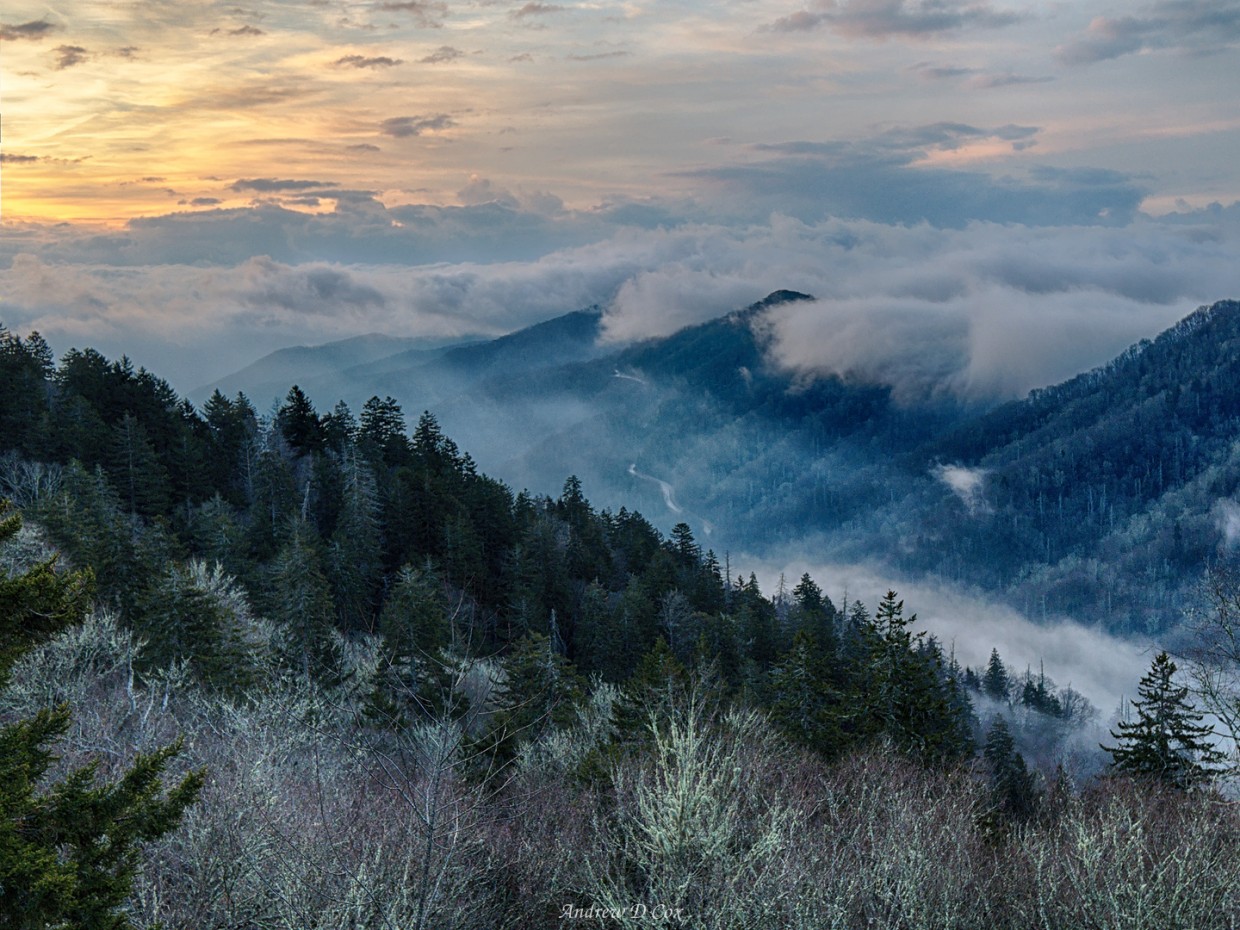
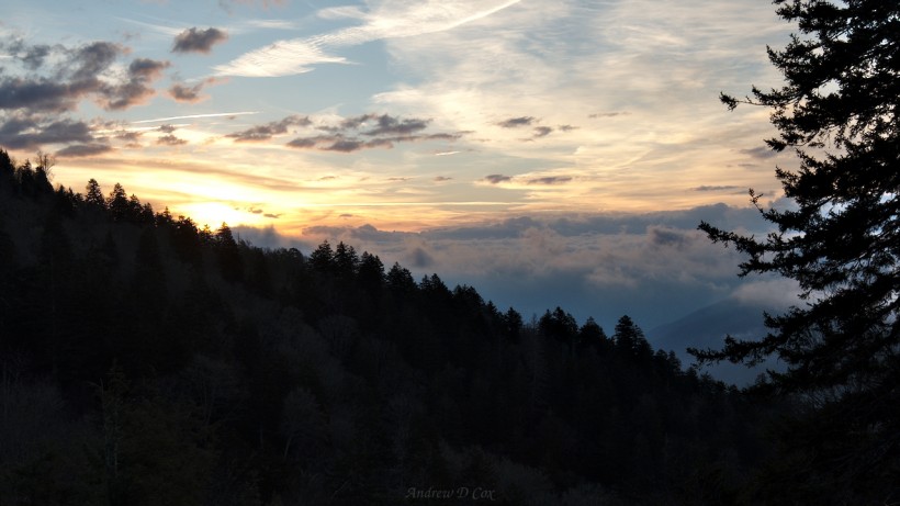
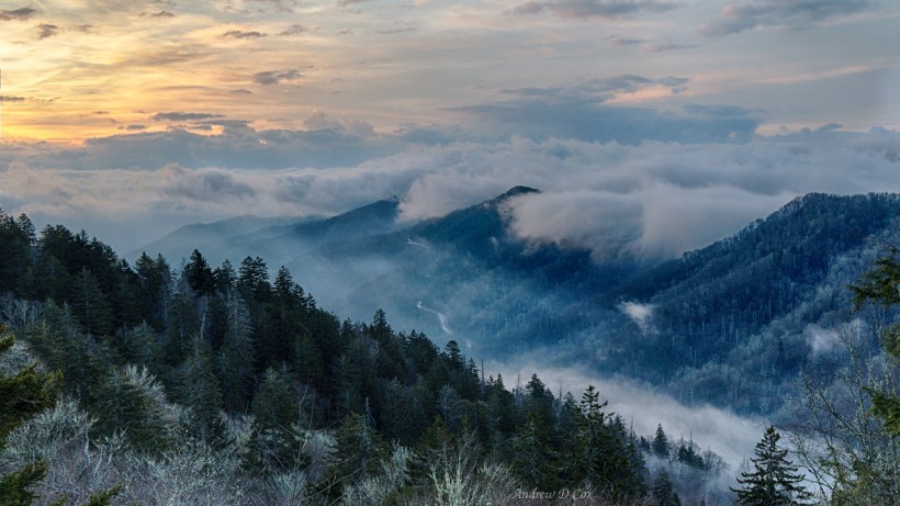
I wake up early and, leaving Tibor to rest at the hotel, drive back up to Newfound Gap. I’m just in time for sunrise! A thick layer of clouds blankets the valleys beneath me, which makes for some great photos.
After capturing a few sunrise shots, I shoulder my backpack and begin hiking the AT back toward Mt. Collins shelter. I’d like to see what I missed by taking the road last night, and I figure I’ll surprise the rest of the group by meeting them partway through their hike out.
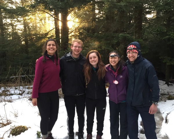
I rendezvous with the gang a few miles down the trail and then turn around and hike out with them. Although the morning started off bright and sunny, a layer of clouds soon blocks out the sun and rain begins to fall. I suppose it’s nice that we finally get to make good use of all the rain gear we brought.
The rain doesn’t last long, however. By the time we reach Newfound Gap, the sun has returned. We all enjoy the views since we couldn’t see more than 50 feet last time we were here. Greg and I shuttle everyone back down to the Sugarland Visitor Center, reunite with Tibor, and head off for a celebratory breakfast feast at a nearby restaurant.
