One of the perks of graduate student life is a flexible schedule that includes a week-long spring vacation. Last year I joined a group of students from the Purdue Outing Club (POC) on a backpacking trip to Shenandoah National Park. We had a lot of fun, so this year I planned a similar trip to the Smoky Mountains. Seven adventurous people joined me on this expedition and, despite some snow and cold nights, we enjoyed the opportunity to live in the Smokies for a week.
Trip Planning
Specs: 65.11 mi | +16,820 ft / -17,130 ft | 6.5 days, 6 nights
Difficulty: Class 1 [learn more]
Location: Great Smoky Mountains National Park | Home of the Yuchi and Cherokee peoples | View on Map
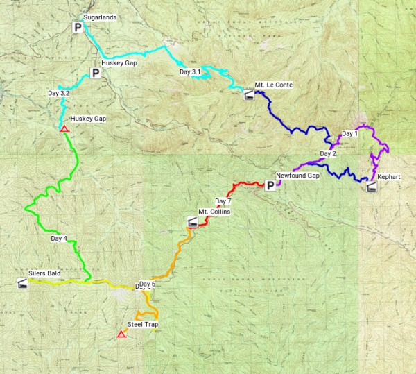
Route: The Great Smoky Mountains National Park includes some 850 miles of backcountry trail and over 100 backcountry campsites, so there are endless possibilities for backpacking routes. Rather than describing our route, here is a rough map with each day plotted in a different color:
We arrived in the Smoky Mountains a day early (it’s a long drive from Indiana), and we stopped at the Sugarlands visitors center on the way to our lodging for the night. While there, I had a chat with the rangers about the itinerary I had planned. They were concerned about several aspects of our trip and had called me earlier in the day to discuss their worries. The weather forecast, which originally predicted light snow and rain, was now calling for more significant snowfall. We were unable to identify other routes with campsites free for our 8-person group, so we’ll be sticking to the original itinerary with a few small adjustments.
Permits & Regulations: A permit is required for all overnight trips and dispersed camping is not permitted. Instead, you must reserve a spot at one of the designated campsites or shelters. The sites are pretty nice: each location includes cable and pulley systems for bear-hangs, and some of the shelters even have composting privies! Visit the national park website for more information about the rules and regulations. As always, practice Leave No Trace when you enter the backcountry.
Resources: I used CalTopo almost exclusively to plan this trip. The custom paths with mileage and elevation profiles make it the ideal planning tool! I carried the National Geographic map on the trail; I’ve had many good experiences with the NatGeo maps, and would recommend them to anyone embarking on a backpacking trip.
Into the Mist
March 11, 2018 | 8.4 mi | +1600 ft / -3000 ft | View on Map
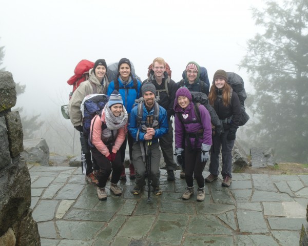
We spent the night with a group of POC kayakers who were gracious enough to share the cabin they’ve rented for the week with us. After eating breakfast, we hop into our cars and drive up to Newfound Gap, our starting (and ending) trailhead for this trip. We’ve stashed half of our food as well as our tents in Greg’s car, which we park at the Sugarlands Visitors Center. We’re carrying the food we need for the first three days and we’ll be sleeping in shelters at night, so packing the tents is unnecessary. Before beginning our hike, we take a group photo at the Newfound Gap overlook. There isn’t much of a view… just a white wall of mist in every direction.
Although the views are lacking, I’m grateful that it isn’t raining. Today’s forecast definitely predicts rain for the entire day. Of course, the weather forecast is for a nearby city; the actual conditions in the Smoky Mountains are much less predictable. After taking the group photo, we find the Appalachian Trail and begin our trek! The ground is wet and muddy, but easy to walk on, at least for the first mile or so. Although the misty forest feels a little dreary, the calm air and quietly dripping trees are pleasant enough.
Soon, we reach a section of trail that is covered in wet ice. Our pace slows a bit as everyone pays more attention to their foot placement. The rangers warned me that the AT is frequently icy, mostly due to the high traffic volume on this popular route. They also advised wearing microspikes or crampons, which seems excessive to me. Crampons, meant for ice climbing or icy snow traverses, are certainly overkill. Microspikes would be useful, but are hardly necessary, especially since the trail is pretty flat and unexposed.
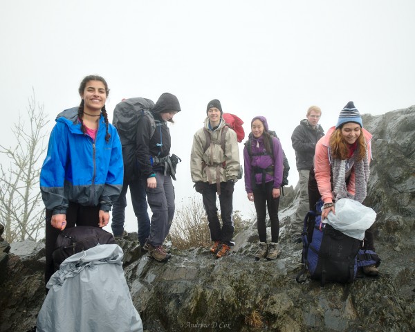
Several slow miles of misty, slippery trail later, we reach Charlies Bunion, a rocky outcropping that offers great views of the surrounding mountains. I had high hopes for this stretch of trail – our first day out, sweeping vistas, everyone would be excited, etc. Of course, the photos tell a different story. Our grand views consist of the white mist wall.
We spend a few minutes at Charlies Bunion and take a series of photos on top of the rocks.
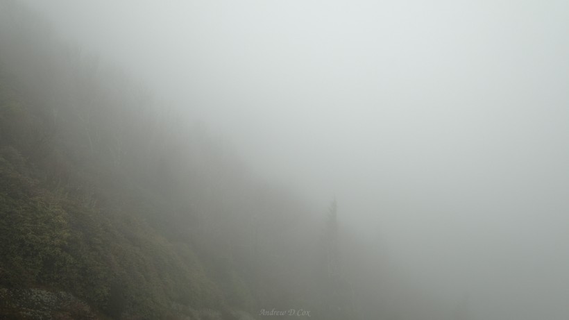
I also make sure to capture the vista: the odd silhouette of a pine tree, some bushes in the foreground, and the impenetrable fog.
After taking in the “views” at Charlies Bunion, we continue down the Appalachian Trail (AT) a little further and then turn down Dry Sluice Gap Trail to make our way to tonight’s destination, Kephart Shelter. A colorful ledge catches my eye near the junction: green and yellow moss contrasts with the slate and red stone. The scene is a welcome splash of color in what has been a fairly gray day.
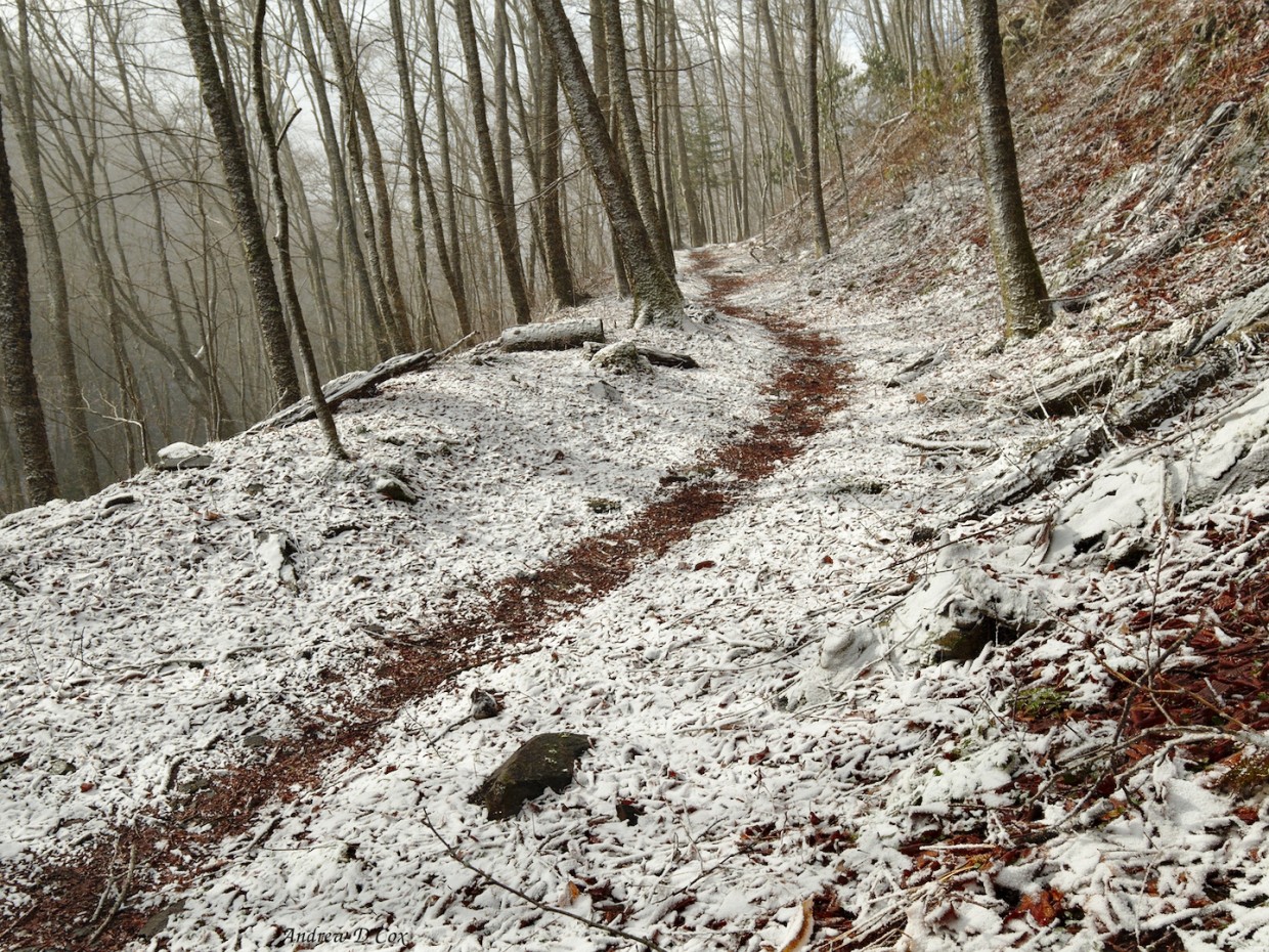
As we descend from the AT, we soon leave the ice behind. It’s nice to be on firm ground again! The mist also clears a bit and I catch a few glimpses of nearby ridges. Entire hillsides of trees covered in grey-green lichen give the deceptive appearance that leaves are emerging. As we lose more altitude, we encounter warmer air and warmer colors; fallen red and orange leaves from last autumn cover most of the forest floor.
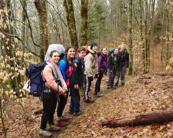
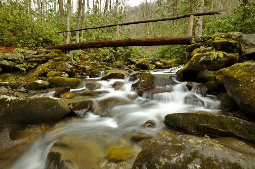
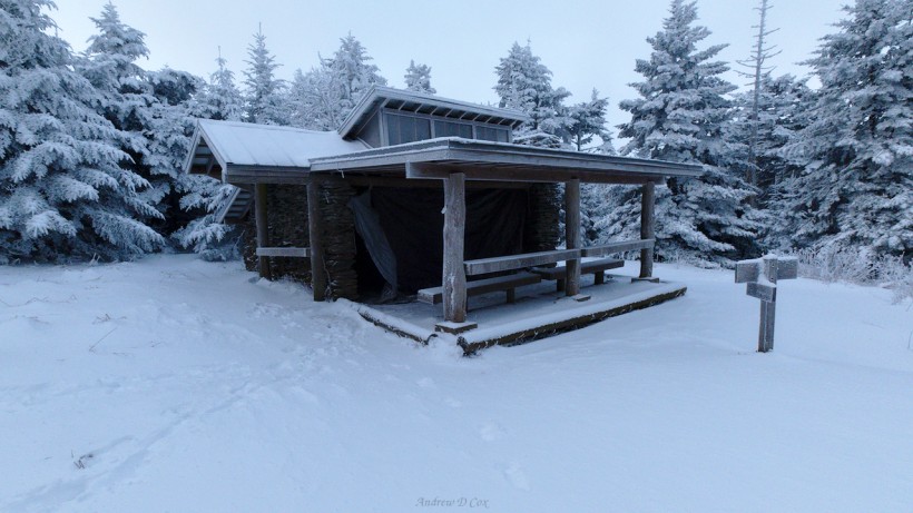
We reach Kephart Shelter a few hours after leaving the AT and happily drop our packs inside the three-walled cabin. I’m also glad to remove my damp shoes and socks and slip into sandals. I wander around and snap a few photos while the others relax and explore the area themselves. A nearby creek provides easy access to water and also makes for a pleasant composition. It seems nice and warm down here, away from the snow and ice on the ridge, but it’s probably only 40-something degrees.
We cook dinner on the covered porch of the shelter and build a small campfire in the shelter’s fireplace. Most of the wood is damp, but, with some dryer lint from Yi-Chun, we manage to get a small blaze burning long enough to dry out some of the sticks. We continue feeding the fire for a while and, when the flames die down, we enjoy smores!
As daylight fades, a steady rain begins to fall. The loud patter on the aluminum roof makes the rain sound more ferocious than it really is, and we’re all glad to be warm and dry inside the shelter.
Mt. Collins Ascent
March 12, 2018 | 9.75 mi | +4000 ft / -1200 ft | View on Map
The rain continues through the night and eventually stops in the early pre-dawn hours. I had multiple stress dreams last night about keeping everyone dry to minimize the risk of hypothermia when we climb to the chilly summit of Mt. Le Conte this afternoon. According to the ranger I spoke with a few days ago, the temperature could dip as low as 9 degrees Fahrenheit. So I’m very glad the rain has ceased falling; it’s much easier to keep warm when you’re dry.
As we begin hiking, a light snow begins to fall. Soon, a light dusting covers the ground and the rhododendrons, leaving the landscape in a beautiful limbo between autumn and winter. Our route this morning follows the Sweat Heifer Creek Trail, and it’s a long climb: a 3300-foot ascent before we return to the AT. Still, the trail is well-graded and the falling snow makes for a pleasant morning walk.
By the time we reach the AT at 5500′, the snow has grown deeper and is ankle-deep in places. We also realize we’ve been on the leeward side of the mountains all morning, protected from a stiff wind. We pause for a snack break before braving the blustery ridge walk that will take us to the Boulevard Trail.
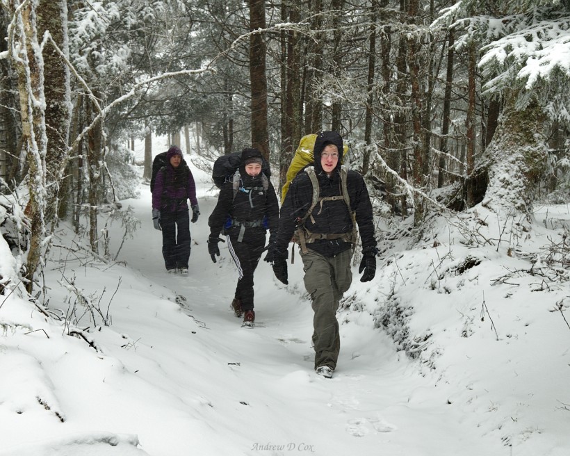
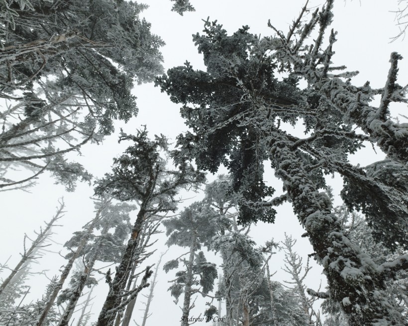
We only have a short stretch of the AT to walk before we turn North onto the Boulevard trail. Thankfully, we’ve completed most of the elevation gain for the day and get to traverse some flatter terrain for a while. The trail is lined with tall pines whose branches are now sagging under the weight of the fresh snow. “Walking in a Winter Wonderland” plays through my head as we crunch through the powder.
Further up the trail, we take shelter under some trees to eat lunch and rest. A few minutes after we’ve all made ourselves comfortable, a blast of wind shakes the trees and showers us with snow, eliciting gasps. We don’t stay long; it’s nice to rest, but walking keeps us warm!
As we continue our trek through the wintry conditions, various group members begin to show signs of fatigue. Lulu is battling a cough, and Parand complains of nausea and chest pain, so we hurry on up the mountain to reach the Mt. Le Conte Shelter. Going back isn’t really an option: the road at Newfound gap is surely closed due to the snow and ice, and it’s at least a four or five-mile walk. The shelter is much closer and will offer protection from the wind and a place to rest on the dry ground.
Although the frozen scenery is beautiful, I’m preoccupied with figuring out how to keep the group safe and healthy. I carry Parand’s pack the last half mile to the shelter and begin to use some of the Wilderness First Aid skills I learned before the trip. Parand is hypothermic as well as dehydrated, so she and Lulu climb into a sleeping bag together to combine body heat. Others in the group melt snow to make some hot tea and dinner.
I head down the trail a little further to explore a bit. There is supposed to be a lodge nearby and, while it’s probably not open yet, maybe they have a warmer location we could put people for the night. I meet two men out on the trail and ask if they have any information about the road; I could hike Parand out to the highway first thing in the morning and get her to warmer temperatures. They tell me that the road is certainly closed, but offer to let Parand come to the lodge. They’re part of a crew that is preparing the lodge to open, so they have heated cabins and many more amenities than we can muster at the primitive shelter.
I race back to the shelter help Parand and Lulu carry their things over to the Le Conte Lodge. There, in the cozy confines of the heated dining room, an incredibly qualified and helpful man named John makes his own diagnosis and procures some warm Gatorade and blankets for Parand. At John’s invitation, Parand and Lulu spend the night at the lodge. Satisfied that they’re in good hands, I walk back to the shelter. Everyone else is chilly but in no danger hypothermia. We eat our dinners and then crawl into our own sleeping bags to escape the frigid air.
Return of the Sun
March 13, 2018 | 14.6 mi | +1600 ft / -5900 ft | View on Map
It was a very cold night last night – on par with the freezing nights in Shenandoah last spring break. I discover that my shoes have frozen solid overnight and I have to pry them open to get my feet inside. The laces are also frozen and I don’t even bother tieing them before stumbling out of the shelter to visit the privy. We all knew it would be cold, so we slept with our water bottles, water filters, and any other items we didn’t want to freeze. Even so, our water is still mostly frozen. Good thing there is plenty of snow lying around to melt! Greg’s Jetboil stove makes quick work of that chore and soon everyone has warm water for coffee, oatmeal, or just for drinking.
We pack up as quickly as possible and make the short hike down to the lodge to check in on Parand and Lulu. They’ve just woken up, so we all wait in the heated dining room while they pack their things. The warm fire is a godsend after spending the night outside, and we crowd around as soon as the lodge crew have vacated their spots to go eat breakfast. Parand and Lulu arrive shortly thereafter and John gives Parand the go-ahead to hike out with us. We divide up her heavy gear between the rest of us to mitigate her chest pain and begin our hike down from Mt. Le Conte.
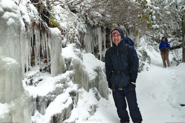
We’re in high spirits this morning! Parand is feeling better, the clouds have cleared, and the sun is out! The trees are thick around the trail, but every once in a while we catch a glimpse of entire ridges of frosted trees. Much of the first several miles on the Rainbow Falls Trail are completely covered in ice, however, so we spend a lot of time looking at our feet rather than out at the surrounding scenery.
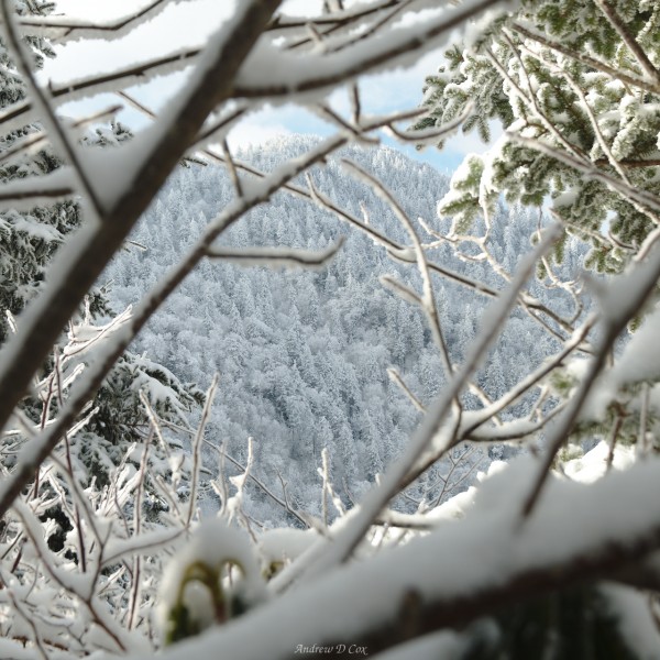
Further down the trail, the ice gives way to soft snow and we’re able to increase our speed a little bit. One stretch of the ridge has been on fire sometime in the recent past, and all the trees are leafless and black. The extreme contrast between the charred trunks and blindingly white snow is striking. I pause for a few minutes to take some pictures and chat with other hikers that are climbing toward the mountain we just left.
The rest of the group continues on and it takes me some time to catch up with them. I finally rejoin them at a bridge below Rainbow Falls. The cataract isn’t much to see today, just a slight trickle. I expected a more impressive waterfall; in fact, the reason I chose this trail was to see the falls. Ah well – this trip is bucking all expectations!
Below the falls, the trail becomes icy again thanks to the heavy foot traffic. We carefully pick our way along the path and successfully avoid falling until we reach a creek crossing. The rocks in the creek are slick and several of us slip and get our feet wet. Parand has even worse luck and hits her head after slipping on one of the stones. I patch her up with sterile gauze and a bandana and then we continue down the trail.
As we continue to descend, the ice gives way to slush and then mud. We pass hundreds of day hikers on their way up to Rainbow Falls or some other destination on the mountain. After a quick lunch break, we reach the trailhead. Parand is able to get a ride with a ranger back to the Visitor’s Center, where she’ll meet her aunt. I’m sorry to see her go, but she’ll be more comfortable recovering from the past few days in civilization than on the trail.
The walk from the Rainbow Falls Trailhead to the Visitor’s Center on the Old Sugarlands Trail is warm, dry, and beautiful. Daffodils are blooming along the wide, gravel path, a stark contrast to the frozen landscape we’ve traversed during the past 24 hours. The warm sun soon forces us to shed most of our layers as we stroll cheerfully down the old road. In several places, we spot remnants of stone walls, foundations, and even a complete chimney.
We make quick work of the 4-mile trek to the Visitor’s Center. Everyone gathers around Greg’s car and grabs their food and gear for the second half of our trip. We also throw away the trash we’ve accumulated and air our feet out in the warm sunshine. Once everyone has resupplied, Greg shuttles us a few miles up the road to the Huskey Gap Trail. We have some uphill walking to do, but it’s a welcome change from the 6-mile downhill hike we completed this morning. A few sections of the trail are lined with snow, but nothing nearly as deep as the what we encountered on top of Mt. Le Conte.
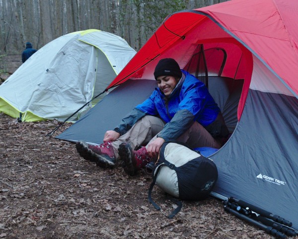
During the final few miles of our hike, we encounter a group of wild pigs in the forest. They’re not terribly close – maybe 50 yards away – and run for cover as soon as they detect our presence. The pigs are definitely the most interesting wildlife we’ve seen so far! I haven’t even spotted any deer since we began the trip. The rest of the days’ walk is uneventful. We’re all grateful to reach the Huskey Gap campsite and make quick work of setting up the tents. Lulu is exhausted and goes right to bed but the rest of us stay up long enough to cook and eat dinner.
After eating, we hang our packs on the cables to keep them out of reach of bears, rodents, and whatever other animals might want our food. Then everyone crawls into bed and gets some much-needed rest.
Read More: Smoky Mountains Winter Backpacking: Part II












Garrett Smith 7 October 2019
Hey! I am a college student sophomore planning a similar backpacking trip with my friends over Spring Break in March. I would love to get in contact with you to ask a few questions!
Andrew Cox 9 October 2019 — Post Author
Hey Garrett! I’d be happy to answer your questions; you can either post them here as comments, or send me an email (find my address on the about page)