Mount Wilson is a prominent landmark above Pasadena, with a large collection of telecommunication towers and telescope scattered across the summit. The observatory there hosts lecture series, concerts, and other events throughout the year, and there are several small museums at which you can learn about the observatory’s history and some of the work completed there. In addition to being an operational observatory, Mount Wilson is a popular hiking spot. In my opinion, the summit isn’t really a destination so much as an excuse to hike the more scenic trails that lead there, which range from wide fire roads to single-track paths wandering through forested canyons. A trip to the summit makes a great day hike, with a round-trip distance over 10 miles. However, you can piece together the trails in all sorts of different ways to increase that mileage or to construct a shorter loop through the beautiful canyons below the summit.
Trip Planning
Specs: 13.5 mi | +/- 4200 ft
Difficulty: Class 1 [learn more]
Location: Angeles National Forest | Home of the Kizh and Tongva peoples | View on Map
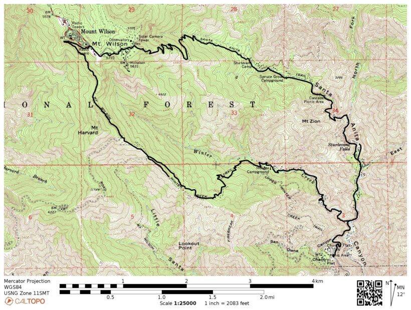
Route: There are many trails that lead to the summit of Mount Wilson. I chose to follow Jeff Hester’s advice over at SoCalHiker.net to hike a loop from Chantry Flat to the summit via the Sturtevant Trail and complete the return journey along the Manzanita and Lower Winter Creek Trails.
Permit & Regulations: No permit is required to hike in this area, but an Adventure Pass (or equivalent agency permit) is required to park at the Chantry Flat trailhead. Additionally, you likely need to arrive early in the day to find a spot in the lot. However, note that the road to Chantry Flat is only open from 6AM to 8PM; outside these hours, a gate near the bottom of Santa Anita Canyon is locked and you will not be able to drive in.
Resources: I relied on the Gaia GPS app for this hike with the relevant USGS tiles downloaded before the trip. If you’re looking for a paper map, this printable version is great for keeping the trails straight. You can also build your own topographical map over at CalTopo.com.
Mount Wilson Loop
June 17, 2018 | 13.5 mi | +/- 4200 ft | View on Map
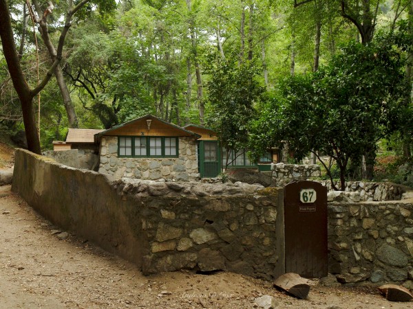
I arrive at Chantry Flat on a Sunday morning at 6:30. It’s a cool, overcast day and, thanks to the early hour, the parking lot isn’t full yet. The hike begins on a steeply descending paved road that levels off at the bottom of Santa Anita Canyon. After crossing a sturdy bridge, I start up the Sturtevant Trail, an unpaved, rocky road that winds through the canyon. I pass dozens of small houses along the way; some are boarded up and appear abandoned while others appear well-maintained. I later learn that these cabins are mostly privately owned, and some can be rented!
Large concrete dams of sorts are also interspersed throughout the canyon. In general, the upstream sides are completely filled with soil; the dams aren’t holding the water back, they’re containing the earth to prevent erosion. The dams themselves are constructed from “Lincoln-Log” type blocks stacked one on top of another, with sloppy concrete caps sealing the top and loose rock filling the gaps between “logs.”
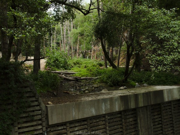
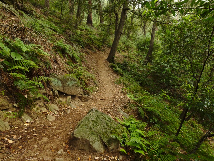
As I hike further into the canyon, the cabins thin out and the forest takes over. A small creek gurgles near the winding trail, filling the air with the sounds of water spilling over and between the rocks. Many shade-loving plants carpet the canyon floor, adding to the vibrant greenery. It’s a wonderful contrast to the hot, dusty trails I’m used to hiking in the Los Angeles area.
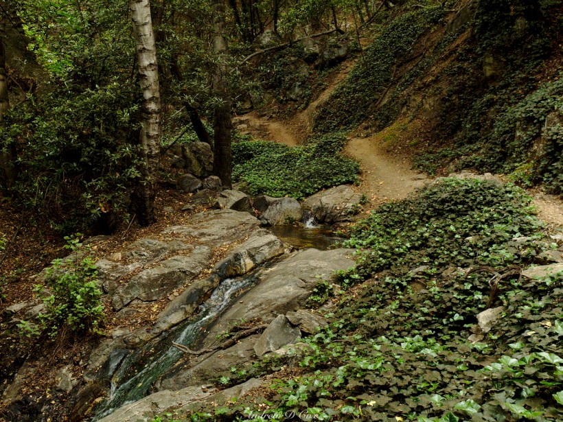
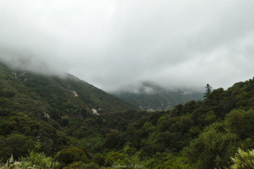
After an enjoyable walk along the creek, I reach a set of switchbacks and being to climb more quickly. A few holes in the trees provide a glimpse of the surrounding landscape, much of which is shrouded in low-hanging clouds. I’m hopeful that the summit will lie above the clouds and have epic views of nearby peaks poking through a cotton ball carpet. For now, though, the world is a bit dreary due to the overcast sky. Best to keep climbing!
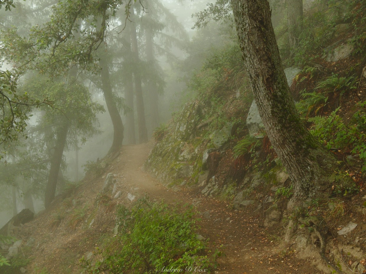
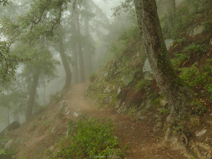
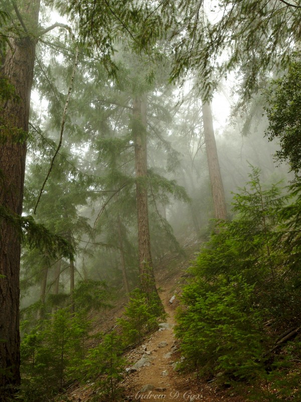
As I continue up the Sturtevant Trail, I pass Spruce Grove, a pleasant little Forest Service campground nestled between the steep canyon walls. Higher still, I pass Sturtevant Camp with its rentable cabins and mess hall. I spy a few folks stirring around the camp, but don’t stop to chat. Past the old resort, the trail climbs more aggressively and I notice that distant trees are obscured in mist; I must be in the cloud now! It’s a tough climb and the trail is pretty steep, but the cool, wet air is pleasant and I enjoy the atmospheric scenery.
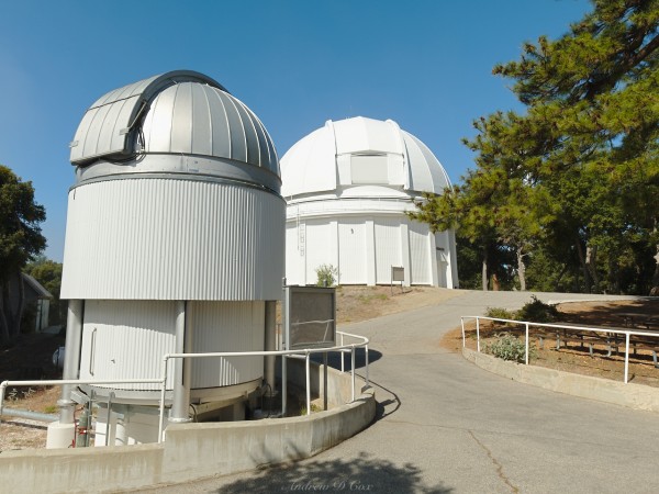
After many switchbacks and much huffing and puffing, I break through the clouds just before reaching the summit. Mount Wilson seems to be right at the top of the clouds, so there aren’t really any views to be had, but I’m happy to feel the sun’s warm rays! I wander through a maze of telescopes and service roads, stopping in at a few small museums to learn more about the Mount Wilson observatory on my way over to the Cosmic Cafe. It’s quite chilly, so I buy a bowl of hot oatmeal at the cafe to warm up. I don’t stick around after finishing the food; it’s cold and I want to get moving again!
It takes me a few minutes, but I eventually locate the Mount Wilson toll road, the next “trail” on this loop, and begin the downhill portion of the hike. Many of the large telescope components were transported to the summit via this wide, gravel road during the construction of the Mount Wilson observatory. After crunching along the road for a few minutes, I reach the Manzanita Trail and return to a nice single-track path. It’s a steep descent with dozens of switchbacks and lots of hikers making their way toward the top. Up-hill travelers have the right of way, so I pause to let each group pass. As I descend back into the cloud layer, my hands grow cold – a strange feeling since it’s been very warm in LA this week!
I break through the clouds just above the junction to Hoegee’s Camp (another Forest Service site) and quickly notice the warmer, drier air. Thankfully, the knee-destroying switchbacks also end at the junction, although the descent continues. I choose to follow Lower Winter Creek trail to enjoy some more stream-side hiking.
After few pleasant miles, I find myself back at the sturdy footbridge I crossed this morning. The final challenge is the short, but steep, climb back up the paved road to Chantry Flat. To be honest, I prefer hiking up the steep slope; at least it’s easy on the knees. The trailhead parking lot is completely full, with cars crawling slowly through, searching departing hikers. I disappoint a man hoping to steal my parking spot when I drop off my gear and – instead of driving away – walk over to the pack store to grab lunch and listen to some live music. A hearty veggie burger and folksy guitar melodies are the perfect end to this wonderful day hike.

Brian Cox 3 July 2018
Wow, this is so beautiful, Andrew!