I’ve been meaning to summit Mount San Antonio for a while now, so when I learned the trek is doable in a single day I planned a trip for the weekend. Mount San Antonio, usually called “Mount Baldy”, is the tallest mountain in Los Angeles (as defined by the boundaries of LA county) with a lofty summit 10,069 feet above sea level. Reaching the top doesn’t require any technical skill, just some stamina, a few snacks, and a couple liters of water.
Trip Planning
Specs: 10 mi | +/- 3900 ft
Difficulty: Class 1
Location: Angeles National Forest | Home of the Kizh and Tongva peoples | View on Map
Route: Begin at the Manker Flat trailhead and begin the hike on the gated, paved road that heads west. The pavement transitions to hard-packed dirt and gravel, but the road continues all the way to a ski lodge. From the lodge, follow a similarly wide access road as it winds upward and to the northwest. The road becomes a trail after passing the highest ski lift; there is only one way to go from here! Once you’ve reached the summit, you can return the way you came or head due south on a trail that passes by a ski hut. This trail rejoins the paved road near the parking lot.
Permits & Regulations: The hike to the summit of Mount San Antonio is a popular weekend adventure, so plan to arrive at the trailhead relatively early in the morning or on a weekday. We began our hike from the Manker Flat trailhead at 8 AM on a Friday morning and had no trouble finding a parking space. Parking at the trailhead requires an Adventure Pass, but no other permits are required for this trip. As always, bring plenty of water, snacks, sunscreen, etc., and keep in mind that the summit lies far above sea level; the air is thin and dry up there!
Resources: As far as maps go, I recommend the Tom Harrison Cucamonga Wilderness topo.
Mount San Antonio Loop
June 8, 2018 | 10 mi | +/- 3900 ft | View on Map
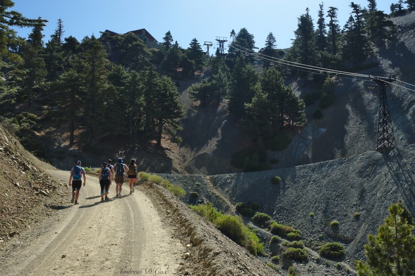
Amanda, Coco, and I arrive at the Manker Flat trailhead and meet Kim, John, and Sebastian. It’s a cool morning, perfect weather for a hike to the summit of Mount San Antonio! The trailhead lies at about 6,000 feet, so we’ve got a 4000-foot climb ahead of us and begin hiking right away to take advantage of the shaded trail. Well, “trail” is perhaps the wrong word; the first several miles of this hike follow a dusty gravel road. While it isn’t the most exciting route, the road is well-graded and we quickly put miles and altitude behind us.
Further up the mountain, we pass a ski lift and spot a few people riding it to the top. The lift doesn’t remain running for long though; it must be a shortcut for the lodge workers in the morning. That being said, I have read about hikers taking the lift up to Baldy Notch, but it doesn’t seem like an option today. Besides, we’re here to earn the summit!
We cross under the lift a few times during the ascent to Baldy Notch, a saddle between peaks with a small lodge, some ski-rental shacks, and more lifts to ferry winter sportspeople further up into the mountains.
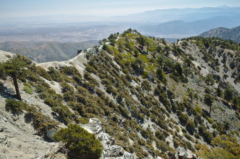
From Baldy Notch, we turn east and continue up a gravel road for another mile or so. After passing the top of another ski lift, we reach the Devil’s Backbone trail, a winding path that follows the narrow western spur of Mount Hardwood. The ground drops steeply away on either side of the trail, adding a sense of exposure to the hike though there’s no real risk of falling; you’d have to swan-dive off the trail to really put yourself in harm’s way.
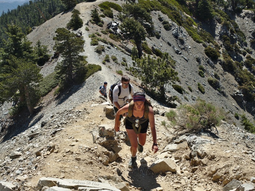
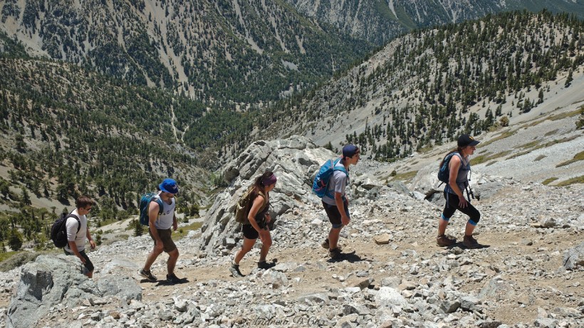
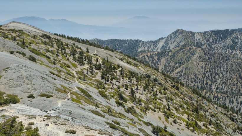
In addition to the sheer mountainsides, our route becomes very steep and slippery with loose shale. To make the ascent that much more difficult, we’re beginning to notice the thin air up here at 8,500′. Not only is it harder to catch your breath, but lactic acid seems to build up more quickly than usual; my legs are on fire as we climb!
We pause several times on our way up the mountain to breathe before tackling the next stretch. Although there aren’t many trees up here, we take advantage of the shade we can find and enjoy the soft, cool breeze blowing over the ridge.
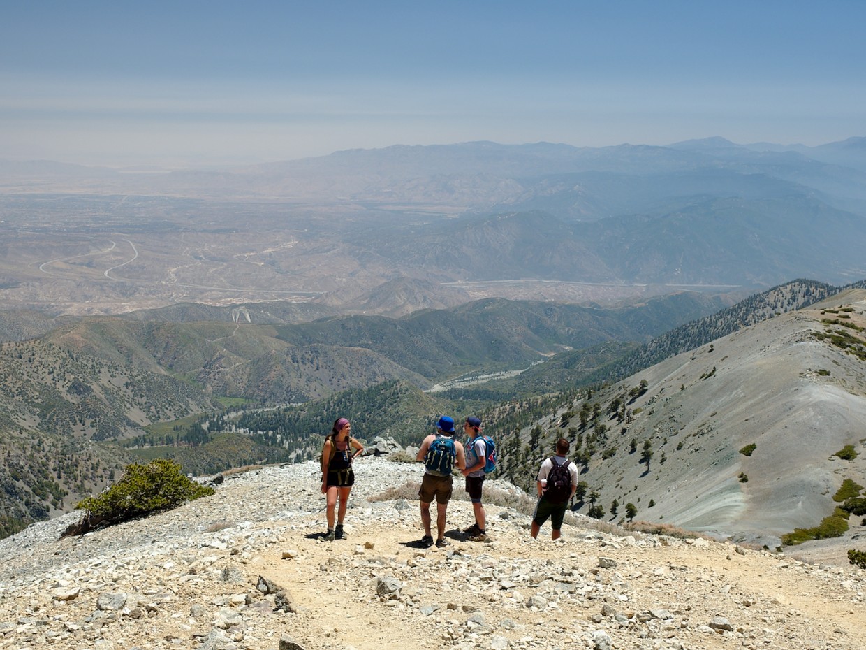
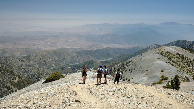
Since Mount San Antonio is the tallest mountain around, we’re afforded spectacular views of the surrounding landscape as we climb higher and higher. To the west, San Bernardino and endless grids of streets fade into the smog. On the opposite side of the ridge lies the high desert and the tiny twin ribbons of I-15 with toy-sized cars buzzing along. To the south, a few distant peaks poke through the layers of haze; these are the San Bernardino Mountains, the highest of which is Mount San Gorgonio.
After much huffing and puffing, we reach the summit and join a few other hikers relaxing there. It’s about noon, so we break out snacks and entertain ourselves by watching the local chipmunk population dart in and out of their rocky houses to steal our crumbs. It’s surprisingly hot on the summit – the breeze we enjoyed on the way up seems to have died out.
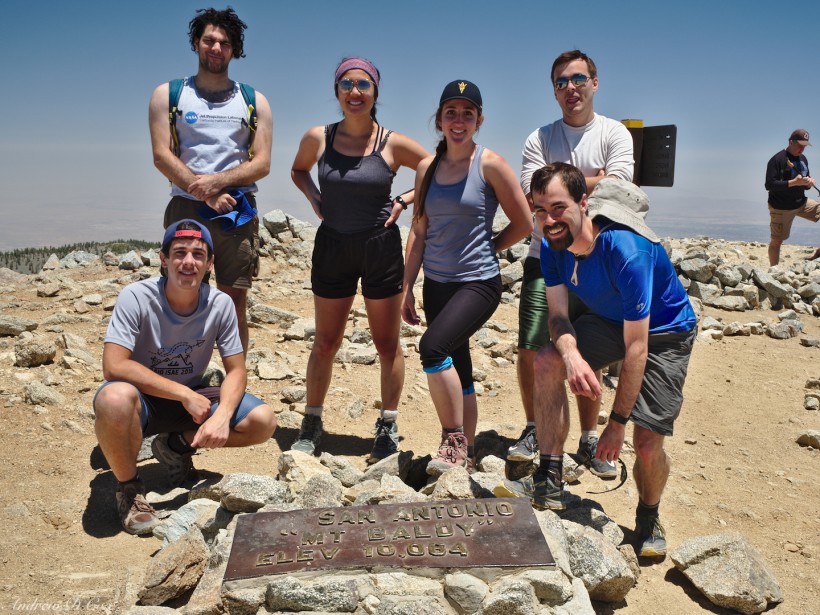
After snacking and resting for a while, we ask a fellow hiker to snap our photo with the summit marker and then begin our trek back to the trailhead. Rather than take the same route back, we make our way to the Mount San Antonio Ski Hut along a trail that skirts the Baldy Bowl. The afternoon heat is in full force but is bearable since the descent doesn’t require much cardiovascular effort.
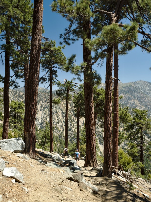
What the descent does require is careful footing; the first mile is incredibly steep and loose, and several of us fall flat on our butts on the way down. Thankfully, after that steep initial descent, the trail levels out a bit and has the decency to follow switchbacks. Further down the mountain, we walk through a small grove of towering Jeffrey pines. I think they’re always huge; I never notice any small ones, just the giants.
At lower altitudes, the yucca plants catch my eye with their tall, flowering stems protruding above the chapparal and small trees. Their beauty and greenery is a stark contrast to the otherwise dusty desert landscape. I’m also impressed by their size; the main yucca “bush” is a few feet tall, with needle-like leaves protruding in every direction from the ground. This particular variety also sports a central stem (which I believe grows annually) that can reach heights of 10 – 20 feet!
The rest of the hike passes quickly; the descent is only half the distance of the trek to the summit. We’re all hot, sweaty, and hungry by the time we reach the trailhead parking lot. So, to finish off a fantastic day of hiking, we drive off in pursuit of tasty Mexican food; we’ve certainly earned a few plates of tacos!
