When I snagged the permits for this trip mid-winter I had grand plans to summit half a dozen peaks while gallivanting around the high Sierra. Reality turned out to be a little less grand, but I still enjoyed a few days up above tree line and several mountain climbs.
Trip Planning
Specs: 42.9 mi | +/- 15,900 ft | 3.25 days, 3 nights
Difficulty: Class 3 on the climbs to Junction and Stanford Peaks, class 1 – 2 elsewhere [ratings]
Location: Inyo National Forest and Sequoia National Park | Home of the Tubatulabal, Eastern Mono/Monache, and Western Shoshone peoples | View on Map
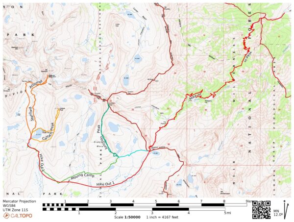
Route: Begin at the Shepherd’s Pass Trailhead and hike up to the pass. From here, the routing is up to you. I mostly traveled cross-country to save time and effort. For descriptions of the peaks, see the full text below.
Permits & Regulations: You need a wilderness permit for overnight trips in this area; see the Inyo National Forest Wilderness Permit page on Recreation.gov. Bear-proof food containers are basically required since the counter-balance technique won’t work well without trees (and there are none up here). Otherwise, the usual wilderness regulations (Inyo | Seqouia) apply.
Resources: For trailhead information, visit the forest service page for Shepherd Pass. Secor’s The High Sierra: Peaks, Passes, Trails book provides a wealth of info about the peaks and cross-country routes.
Desert to Alpine
28 June 2024 | 11.5 mi | +6500 / -900 ft | View on Map
Last night I drove up to the Onion Valley campground and slept there. Not only is it much cooler than the valley floor, but the 9000-foot elevation is also good acclimation for today’s hike which tops out above 12,000 feet. Owens Valley was full of smoke when I arrived, probably from the Basin Fire burning on the west side of the range. I was really worried that I’d be faced with more of the same today, but the air is considerably clearer this morning.
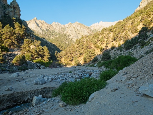
I’m at the trailhead bright and early in an attempt to beat the worst of the heat and am hiking by 6:15. It’s been a few years since I was here last and the lower trail has changed significantly, probably due to the huge amount of snow and rain the mountains got last winter. I follow the now-faint trail through the sand and soon reach the start of the switchbacks – they haven’t changed at all. By 8:15 I’m at the “Symmes Saddle” (9000 ft) and pause to take a well-deserved break in the shade.
After a rest I continue down the trail. The Shepherd’s Pass Trail is infamous for this next section, which descends about 400 feet to pass below a set of cliffs. The sandy, loose path is pleasant on the downhill but it’s an annoying uphill slog on the way back out. I meet another solo hiker a little while later where the trail crosses a small creek and chat with him for a moment before continuing up to Mahogany Flat. The trail climbs through the manzanita and mountain mahogany and then begins a series of very long switchbacks. Even though I’ve made it up to 10,000 feet, there’s no shade whatsoever and I’m very warm.
Thankfully, the switchbacks lead to “Anvil Camp,” a comparatively lush oasis with a rushing creek and a shaded pine forest. I don’t pause right away, instead opting to hike up to the smaller pine trees at the highest reaches of the little forest. There I find a shady spot, take of my backpack and enjoy a long break. It’s just barely 11:00 AM and I don’t have that much further to go: less than two miles and about 1500 ft of elevation gain. So I spend half an hour reading a book, eating lunch, and enjoying the last “real” shade I’ll have for the next several days.
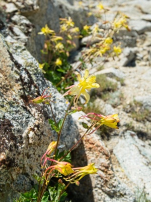
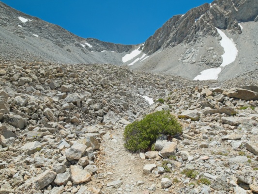
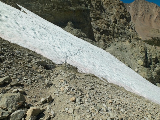
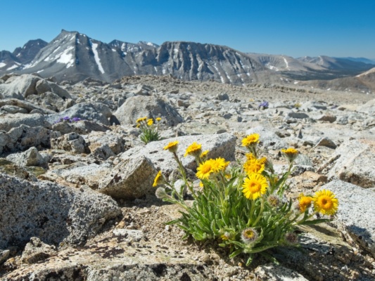
After my lunch break I continue up the trail. It looks like it’s peak wildflower season up here; there are hundreds of light-gold sierra columbines blooming in the rocks! I cross a shallow snowfield as I wind through the rocky moraines below Shepherd’s Pass and then begin up the steep trail to the pass itself. There are still a lot of bones here from the mass deer death in 2017 when a herd of deer fell down the pass. As usual, the trail is a bit of a mess as hikers have gone every which way through the loose rocks to avoid the steep snowfield that remains here most of the year. I struggle my way up, cross the soft snow near the top of the field, and breath a sigh of relief when I reach the established trail again.
I glance at my phone and am surprised to see it’s only 1:30 PM. I was hoping to burn a little more time on the hike up so that I wouldn’t have an entire afternoon with no plans. I could go climb Junction Peak today, but I’m trying to be kind to my body and not ask it to do four more miles and 2000 more feet of elevation gain after the 10.5-mile, 6400-foot-gain hike from the trailhead to the pass. But… I’ll see how I’m feeling once I get to a campsite.
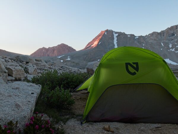
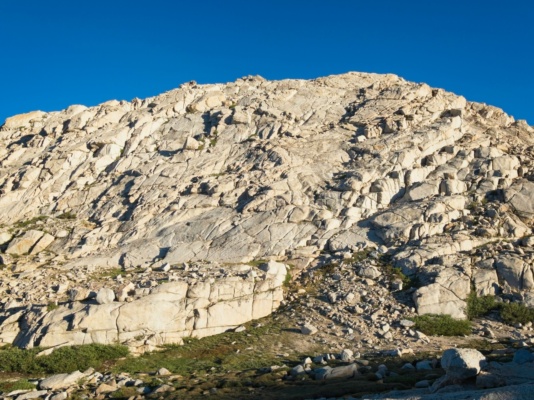
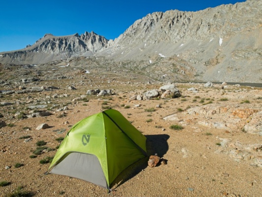
Junction Peak is a few miles northwest of the pass. My plan is to hike cross country a little way in that direction, partly to move away from the trail and partly so that I have less walking to do for the climb itself. There are several routes up to Junction Peak; my hope is to follow Secor’s description of the south face route. However, as soon as I get a glimpse of the loose, sandy south face slopes, I abandon that idea in favor of a route that climbs up to the Diamond Mesa and then follows the much more solid-looking southwest ridge. So I hike over to the foot of the mesa, find a sandy spot near running water where I can pitch my tent, and set up camp.
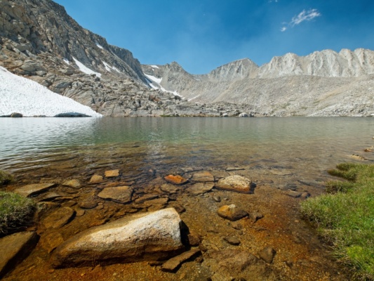
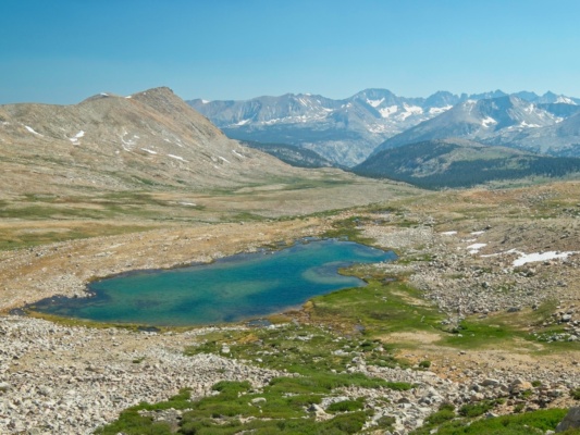
Once I have my camp set up I think about how to spend the rest of the afternoon. I feel pretty tired and have a headache (and I can smell a little smoke in the air again) so I decide to stick to my original plan and spend the rest of the day relaxing. I try reading for a little while in the tent, but it’s unbearably warm in there with the sun beating down on the fabric. I wander over to a nearby lake with the intention of going for a swim, but the water is so incredibly cold that knee-deep is as far as I can bear to go.
I’m much more comfortable once the sun sinks below the Great Western Divide. Finally, some shade… from the planet. I sip on a pot of ramen noodles and then spend the rest of the evening reading and relaxing in the tent.
Junction and Caltech Peaks
29 June 2024 | 11.4 mi | +5100 / -5300 ft | View on Map
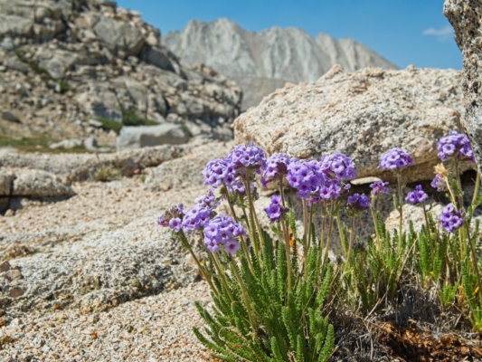
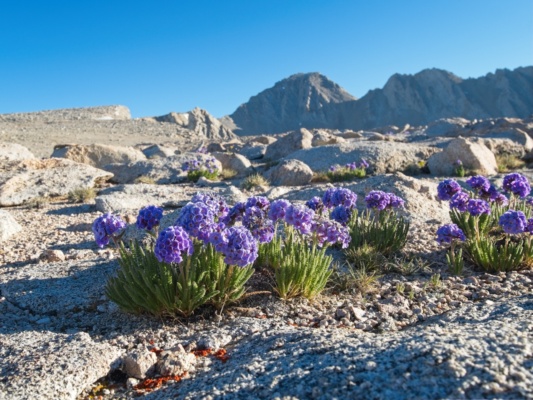
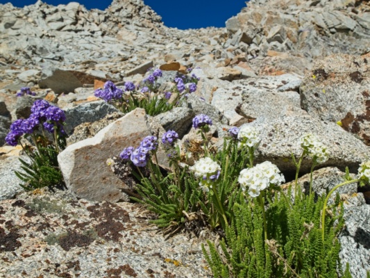
When I wake up the next morning, the lingering smoke has cleared (again; maybe this is a daily pattern?) and it looks like it’s going to be a beautiful day! I eat some breakfast and then pack a small day pack with snacks, sunscreen and layers and head off to climb Junction Peak. The first challenge is to scramble up the rocky face at the south end of the Diamond Mesa. I thoroughly enjoy the scrambling (class 3) and soon reach a sandy slope that leads to the top of the mesa. Struggling through the sand isn’t much fun, but it doesn’t take too long either and I pass dozens of bunches of sky pilots along the way.
Once I reach the top of the mesa, I enjoy a long, easy stroll over to Junction Peak’s southwest ridge. I second guess my route choice the entire way over; the ridge looks really steep from this angle! But if there’s one thing I’ve learned from climbing peaks it’s that slopes always look steeper from face on. The only accurate view is a side view or a view from the slope itself. So I keep on walking, hoping that the ridge will be easier than it looks from the mesa.
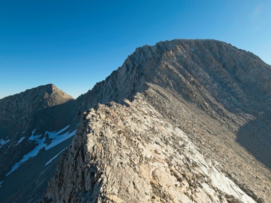
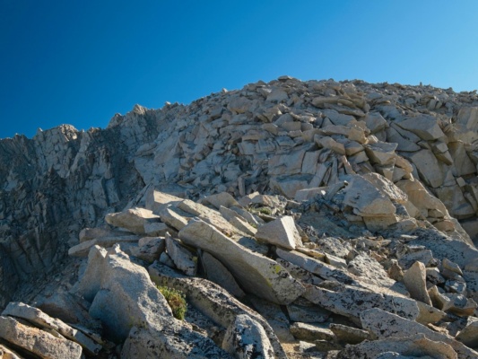
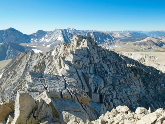
The climb up the ridge proves to be incredibly fun. From the northern end of the plateau, I scramble down to the “knife edge ridge.” I alternate between the very tip of the ridge and the slabby south aspect, taking advantage of cracks in the granite as tiny sidewalks. By the time I reach the steeper part of the ridge, I have a better understanding of the terrain and make a plan to avoid what look like a couple of cliff bands. I cross the ridge onto the north side, hike up easy class 2 blocks, and then move over to the south side when the north side cliffs out. After a brief traverse beneath steeper rocks, I scramble up a class 3 chute on mostly solid rock to the ridgecrest itself and then enjoy solid class 2 scrambling to where the ridge levels out.
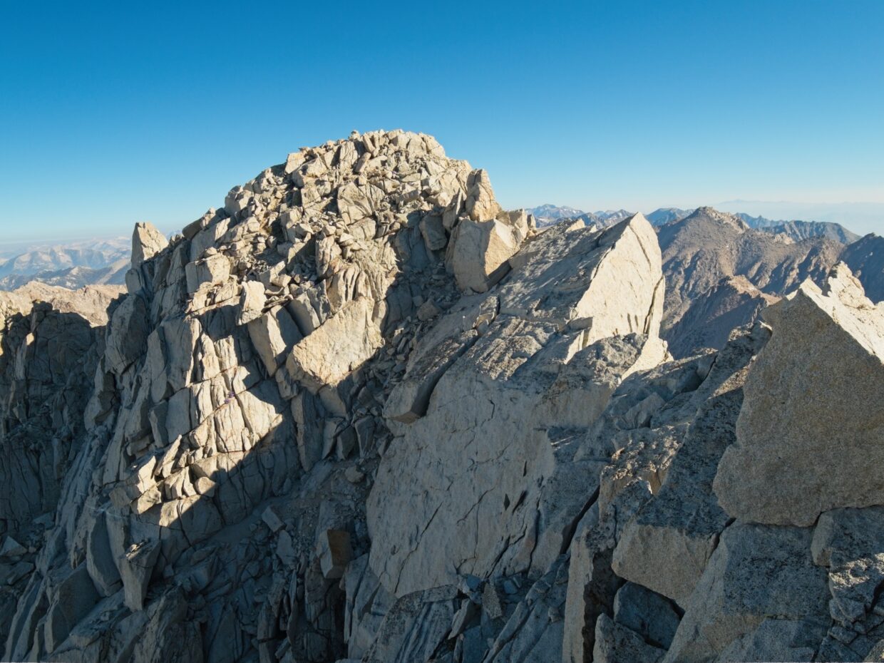
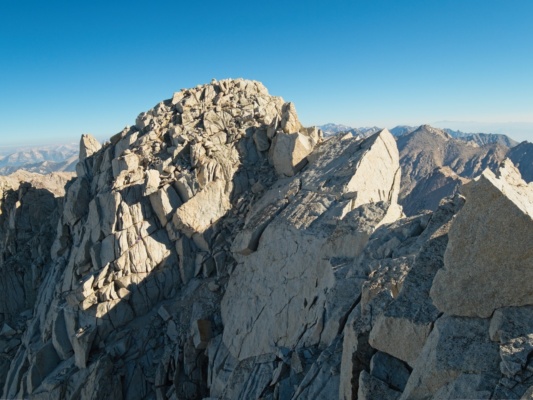
The final few hundred feet to the summit are the best part of the climb. Following Secor’s guidance, I drop down about 100 feet onto the west side of the ridge and then scramble back up to the top again once I’m past the most difficult-looking terrain. I could probably continue contouring across the west face, but the ridgetop itself is much more fun: solid rock, plentiful holds, a little exposure to get your heart going!
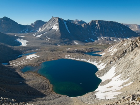
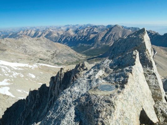
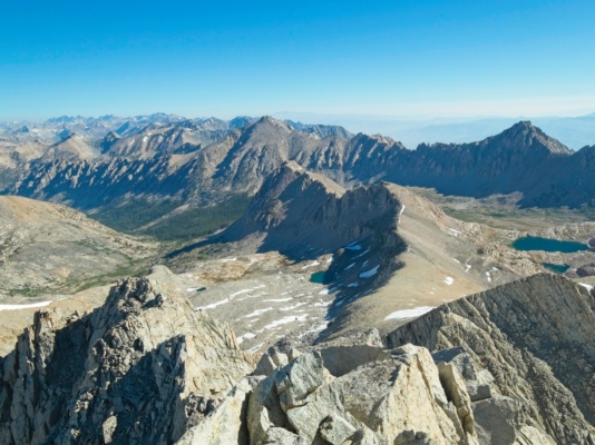
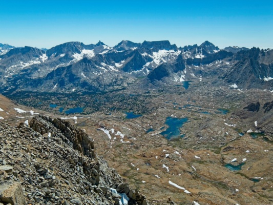
Once at the summit, I take a short break. The views are fantastic, of course, and I’m in a great mood. It looks like the smoke has truly cleared out too – I can see for many miles in every direction!
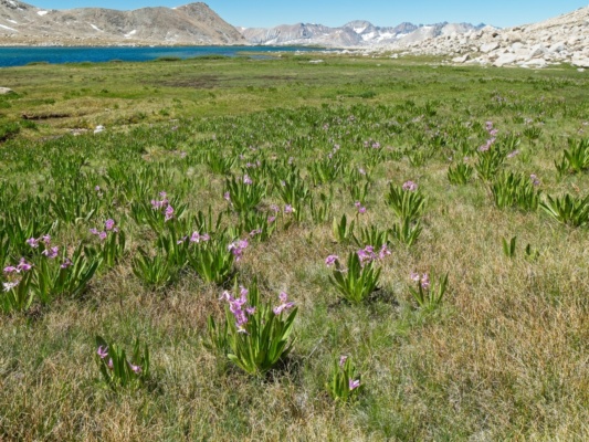
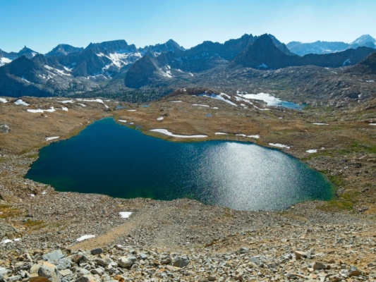
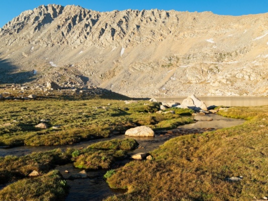
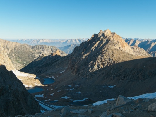
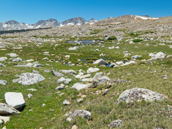
After enjoying the summit for a few minutes I reverse the route and return to the diamond plateau. The stroll back to camp goes quickly and I’m at camp almost exactly four hours after leaving. I pack up my things and then set off cross-country towards Lake South America. Returning to the trail is an option, it’s far across the valley and the terrain is flat and open out here, so hiking cross country is fast and a much shorter distance. I enjoy the stroll, at least until I reach the marshy wetlands near the Lake South America Trail. Hordes of mosquitoes come to greet me as I tread through the grass, so I don’t stop moving until I’ve reached the 12000-foot pass just south of Lake South America.
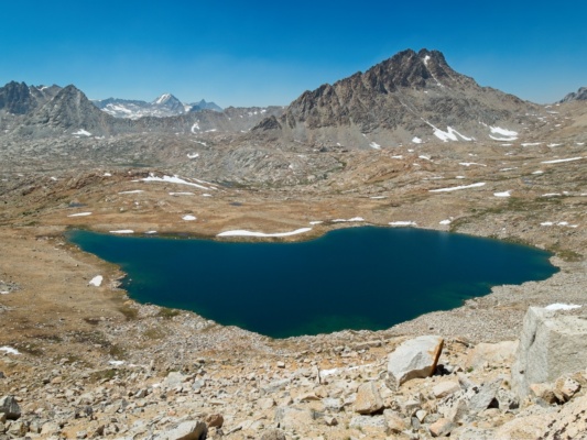
It takes me a little while to find a good campsite. After yesterday’s ordeal with the oppressive sun, I’d love to find some small amount of shade, but that doesn’t seem to be an option. I’d also settle for mosquito-free; that’s also not an option. Eventually I find a spot where others have obviously camped a few hundred feet from Lake South America. The mosquitoes are plentiful, but there’s a bit of a breeze that keeps them slightly at bay.
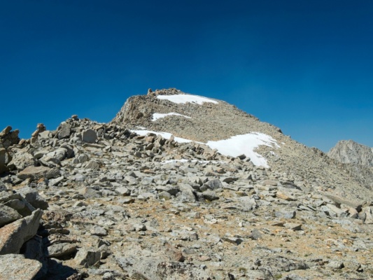
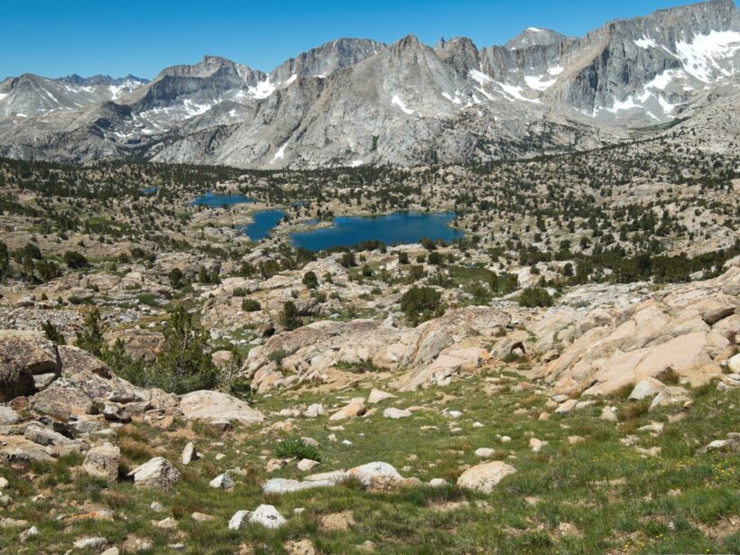
Once I’ve established camp and rested a little, I once again shoulder my day pack and set off to climb Caltech Peak. Secor says that “any” of the west-face chutes go at class 2 – 3, but they look horribly loose. I decide on a more gradual ascent that loops around the south side of the lake and curves north to reach the summit plateau. The route works well and I’m happily strolling up easy rocks and sand toward the summit an hour after leaving camp.
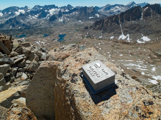
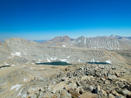
There are several snowfields to cross, but they’re soft and easy to hike through this late in the day. I don’t find a register at the summit (though someone did leave a fishing book…), so there’s nothing to sign. I find a flat spot and lie down for a while, enjoying the relatively cool temperatures at 13.8k feet and the complete lack of mosquitoes. In fact, I stay for nearly an hour before venturing back down the mountain.
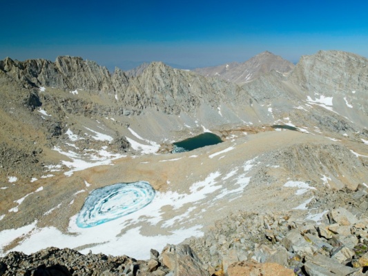
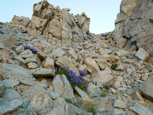
On the way back I decide to try one of the west face chutes because they’re a much more direct line to the lake and my campsite. I regret the decision almost immediately, however. My assessment from a distance was spot-on, the chutes are horribly loose. I make it down without incident, but don’t enjoy it at all.
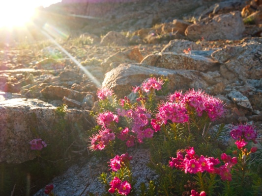
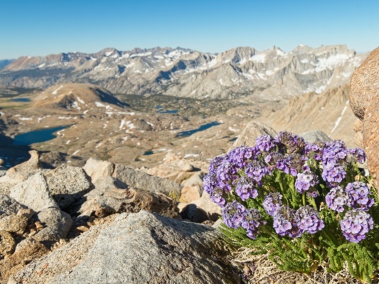
Back at camp, I hide from the mosquitoes in my tent for a few hours. Thankfully, it’s not quite as hot as yesterday so I can bear the warm, stuffy interior. I eat a late dinner once the mosquitoes have lightened up a little and then wander around the area during golden hour to snap some photos. I earn a few bites on my fingers for the effort, but the light is too nice to ignore from inside the tent. Once the sun has sunk below the mountains, however, I retreat to the safety of the tent and relax inside for the rest of the evening.
Quitting Early
30 June 2024 | 11.5 mi | +3600 / -5000 ft | View on Map
I didn’t sleep very much last night. For whatever reason, I woke up at 2:30, wide awake and unable to go back to sleep. I eventually get up a little after 5 and make some breakfast – oatmeal – but lose my appetite halfway through. On a brighter note, it’s too cold for the mosquitoes so I’m at least free to move around in peace.
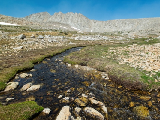
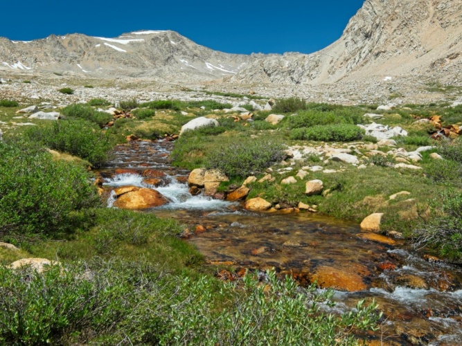
My goal for today is to climb Standford Peak (class 3), Ericsson Peak (class 3), and Genevra Peak (class 2), with the bonus goal of Jordan Peak (class 4) if time allows. I fill my day bag with the supplies I’ll need and set off at about 6:00, heading north toward Harrison Pass. It’s a lovely walk through the high country! I cross at least a dozen small creeks, some of them rimmed in ice this morning. Once I reach the top of the valley I scramble up some easy class 2 talus to reach the gentle slopes that lead up to Gregory’s Monument and then on to Stanford Peak.
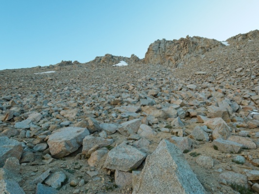
The scramble up from Harrison Pass is a bit tedious. The lower slopes are covered in sand, which is always difficult to hike through, and the upper slopes are comprised of large talus blocks that are difficult to navigate through. Once I reach the top of the slope I’m treated to much easier terrain, thankfully, and also sunshine! So far I’ve been in the cold shade all morning.
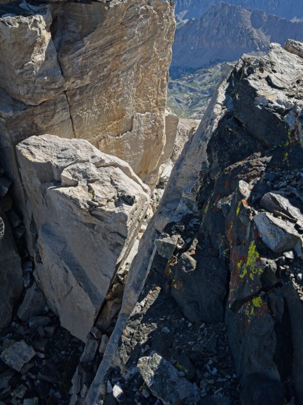
I hike up the ridge to Gregory’s Monument, a narrow ridge that’s half black, metamorphic rock and half Sierra granite. An empty Bandaid box on the summit is the only indication that this is a peak that gets visited. I follow an airy ledge down from Gregory’s Monument to what Secor describes as a “class 3 step down” onto a chockstone. To my chagrin, every aspect of that description under-sells the difficulty. For starters, the climbing is decidedly class 4 as the rock is pretty blank and close to vertical – only one 1.5-inch ledge offers any kind of real hold between me and the block 7-8 feet below. There’s a bit of an edge on the left side that could offer some helpful holds, but it looks pretty un-featured too. And then there’s the chockstone itself, which looks to be 6 – 8 feet tall on its own with an off-width crack (notoriously difficult to climb) between the block and the rock face.
I deliberate for a few minutes, trying to figure out how I’m going to climb up this feature (climbing down is as easy as lowering and jumping). I even lower myself down onto the thin ledge to try to get a closer view at the bottom section. But I can’t see an obvious set of moves that will get me back up these rocks. Perhaps if I had rock shoes, I could smear against the blank slab, or use some of the smaller edges on the rock. But my trail runners aren’t going to provide that much control and I’m not willing to jump down there without a clear way back up.
So I turn around and scramble back to the wide ridge south of Gregory’s Monument. I hate giving up on peaks like this, but it’s the safe thing to do. I’m out here solo – truly solo, I haven’t seen anyone in 24 hours – and if I got hurt it could take a rescue team multiple days to arrive. I’ll come back and try again with more gear and/or more friends.
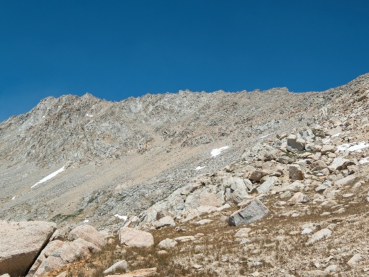
As I descend back toward Harrison Pass, I scope out the east face of Mount Ericsson, my next challenge. I’m already in a sour mood from having to turn around before reaching Stanford, and the terrain I’m seeing on Ericsson is not improving things. It looks loose (gross) and I actually have no idea which line to take to the top. Secor says to “pass through the notch,” but I see at least four notches, most of which are full of snow. I wasn’t able to find any GPS tracks of this route before coming out here nor any helpful descriptions of the “correct” notch. So I’m at a loss as to the “correct” way up.
By the time I reach the pass, I’m feeling defeated and tired. My legs in particular are feeling worn out and I’m worried I might strain a muscle or a tendon if I go scrambling up another loose, steep mountain. I’m also no longer feeling excited to be up here; the lack of sleep, the constant sun, and the mosquitoes are getting to me. So I decide to call it quits and get an early start back to the trailhead. I won’t make it out today, but I could sleep in the trees at Anvil Camp and get home a day early!
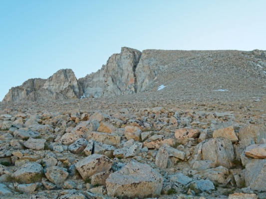
Back at camp, I pack up my gear and make a short detour toward Mount Genevra to get a closer look at it and the (class 2) west face of Mount Ericsson. I snap some pictures that will be helpful for a return trip to tag these peaks and then hurry back to the Lake South America Pass as hordes of mosquitoes descend upon me.
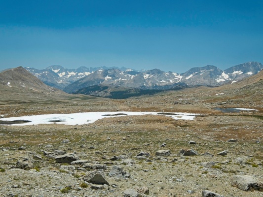
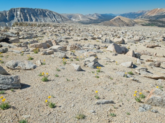
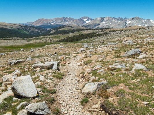
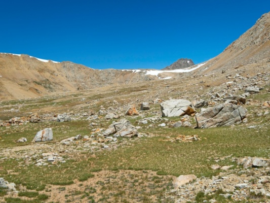
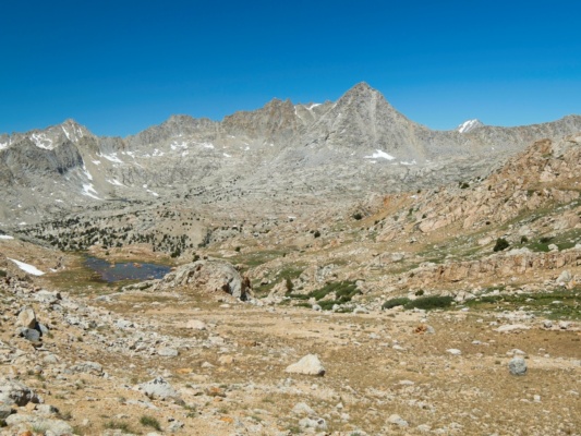
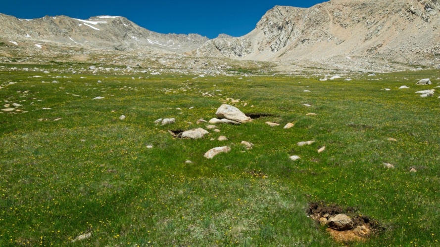
Like my hike yesterday, I trek cross-country back to Shepherd’s Pass, only rejoining the trail a mile or two from the pass itself. It’s a very pleasant walk through surprisingly diverse terrain. I stroll through dusty rocks and sand, through grassy meadows, over boulder piles, and everything in between. I see two hikers on the JMT/PCT from a distance but otherwise don’t see a soul the rest of the afternoon.
By the time I reach Anvil Camp (10,300 ft) at 4:00, I’m very ready to be done for the day. The shaded woods are just what I need after being above treeline for two and a half days. There are a few mosquitoes, but without the constant sun my tent is nice and cool and I comfortably relax the rest of the evening. I even finish my book right as darkness falls – great timing!
Early Escape
1 July 2024 | 8.5 mi | +700 / -4700 ft | View on Map
I’m up early this morning – 5 AM – with a goal to get off the trail and back to my car before it turns into a sun-baked furnace. I munch on a bar or two as I plod down the long switchbacks to Mahogany Flat and enjoy mostly shaded trail, including the uphill section. The highlight of the morning happens when I’m paused, listening to some birds chirping in a side canyon. As I stand there, a hummingbird buzzes up and hovers a few feet in front of me for at least 15 seconds. They’re usually so quick to zoom away from people. I get back to the car at about 9:00 (it’s still cool inside!) and happily drive off to get a breakfast sandwich in Lone Pine.

Diane 17 October 2024
Hi Andrew – Wow ! Another great trip through a fabulous area. Your beautiful photos and trail descriptions are inspiring me to do more exploration up there..
I made it to Junction Pass this August (up the old JMT through Center Basin) and it was one of the best hikes I’ve done in the Sierras. That area is wonderfully scenic. (Hoping to reach Junction Pass again next year, only this time from the Shepherd’s Pass direction.)
Looks like you had perfect conditions – except for the heat and mosquitos . Such a blue sky !
Thanks for posting all these hikes on your website – I really enjoy reading them .
Diane in Kamloops
Andrew 17 October 2024 — Post Author
Hey Diane, nice to hear from you! Center Basin is high on my list, it looks beautiful. I’m not sure I’d recommend Junction Pass from the south, it always looks horribly loose and sandy to me, but it might be better than it looks.