The Sugarloaf Mountain Trail is a short 7.4-mile loop in the Skyline Wilderness Park and is just a few miles South-East of Napa, California. It’s raining a bit when I arrive – slightly more than a drizzle, but hardly a shower – so I put on my rain jacket before slinging my new hiking day pack onto my back. I purchased an Osprey Talon 22 during the winter holidays to replace my old backpack. With a price tag of about $100, it’s a little more pricey than your average school backpack, but it’s also much higher quality and has a hip belt and load lifters to remove all weight from your shoulders. I bought a matching rain cover for the pack as well and have it with me today, just in case the rain really decides to come down. I’ve got a Lowepro camera holster on the right hip belt to hold my d7100 within easy reach while hiking. The holster has its own rain cover built in. The forecast says there is a 20% chance of showers this morning, and the sun is supposed to show its face in the afternoon, so I’m optimistic as I hit the trail.
Sugarloaf Mountain Trail
February 18, 2016 | 7.4 mi | +1850′ / -1850′ | View on Map
The first portion of the path winds through summer campgrounds, a high ropes course, and threads its way between two small man-made lakes. Soon, I reach the “real” trail and start climbing up into the hills. The rain seems to be picking up, so I pull the rain cover over my camera and backpack. A few minutes later, the rain intensity increases dramatically and I’m immediately grateful that I planned for a rainy hike.
As I continue up the trail, the rain oscillates between showers, drizzle, and none at all. I’ve already gained a few hundred feet and can see low clouds racing across Napa valley. The Eastern horizon is dark with rain clouds and I can see the precipitation falling across the valley. Luckily for my feet, the trail is gravel, rock, and hard-packed dirt, so the rain hasn’t softened it enough to be a friction hazard. After ascending a few hundred feet, the trail enters a wooded area. There are a few pine trees, but most of the foliage is deciduous and completely covered in moss and lichen. It looks and feels like a small rainforest with the rain dripping down through the leaves.
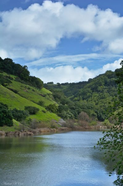
After a few more minutes of walking, the constant drizzle turns into a constant downpour. My legs and feet have remained mostly dry up until now, but the onslaught of falling water quickly drenches my pants and seeps into my shoes and socks. Luckily, it’s not very cold today, so being wet isn’t too much of an inconvenience. Besides, my camera, backpack, and upper body are all protected by rain gear. I pull the hood of my jacket over my head and continue up into the hills. The rain continues for 30 or 40 minutes, but eventually peters out and the only water still falling is dripping from the trees overhead. I pass an old chimney standing near the trail and soon reach Lake Marie. I’ve been trekking under the trees for the past hour and am pleased to see sunshine on the lake. I spend a few minutes there and eat a cliff bar before moving on.
Rather than continuing on the tree-shaded trail I had originally planned on, I switch to an unsheltered fork that is open to the sun and breeze. I climb up above the lake for a while and my clothes quickly dry out. This is where wicking fabrics show their true worth: after 10 minutes of hiking in the breeze, the only indication that I walked through a rainstorm is the mud on the bottom of my pant legs.
Since the rain has stopped and I no longer have to worry about damaging my camera, I become more trigger happy and snap photos of interesting plants and nice landscapes. There are some red lizards out on the trail and they’re not very shy; one lets me place my camera right in front of its face and take its picture without batting an eye.
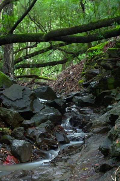
I reach the inlet to Lake Marie and make use of the tripod I brought all the way to California to capture a long exposure of a small cascade. A polarizing filter on the camera really makes a huge difference in situations like this and brings out the rich browns and greens by eliminating reflections off the wet rocks and leaves.
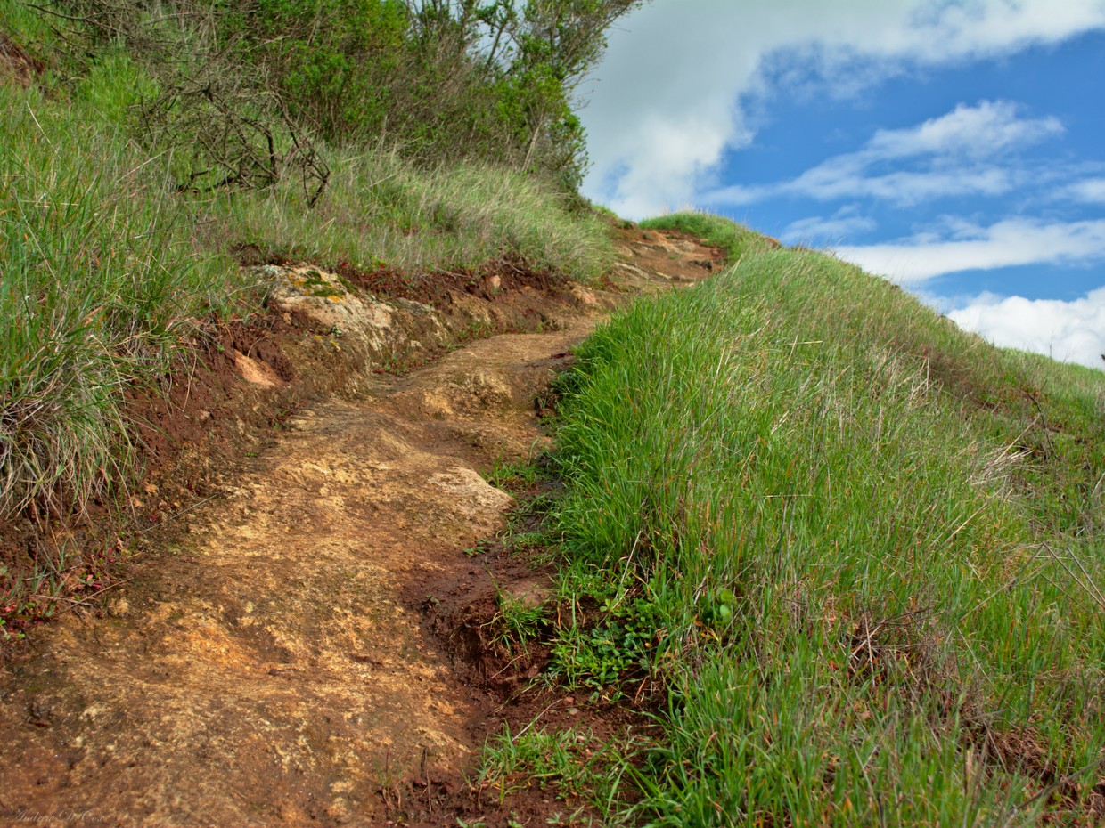
Soon, the trail begins to climb again, directing me up to the peak of Sugarloaf Mountain. The word “mountain” is perhaps too ambitious as the peak is a meager 1600 feet above sea level. The trail towards the summit, Thatcher’s Ridge Trail, seems to be much less popular than the Skyline Trail that brought me here and is narrow with long grass growing on either side. Small outcroppings of red stone jut out here and there, and the trail climbs steeply upwards.
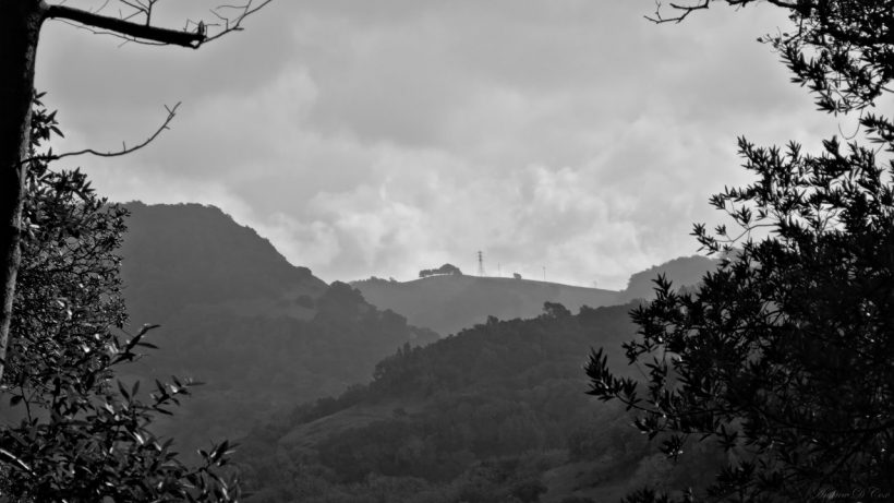
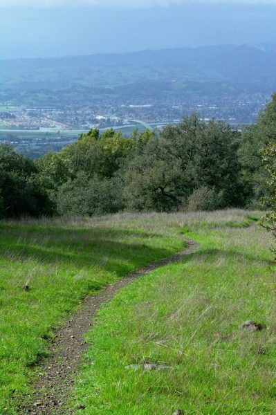
After a few short breaks to catch my breath (there are some near-scramble sections), I reach the peak of Sugarloaf Mountain. Most of the views are obscured by small trees, but I catch a few glimpses of Napa Valley as I begin the descent.
The remainder of the hike is easy and peaceful. The narrow trail winds its way through switchbacks toward the valley below, with a stiff breeze ruffling the leaves amidst the mid-day sun. I lose my rain jacket and pack away the rain covers for my gear since they’re no longer wet from this morning’s showers.
Thatcher’s Ridge Trail intersects Lake Marie Road in a valley between the hills, and I follow the road toward my car. Since I no longer have to worry about footing, my mind wanders; it’s rather cathartic, the constant crunch-crunch-crunch-crunch of boots on the trail. I walk straight through a flock of turkeys on my way; I think I’m as surprised to see them as they are to see me. I soon reach my car, change out of my muddy pants and shoes, and hit the road in the shiny rental car.




Dad 21 February 2016
You write so well and those are beautiful pictures. There’s so much to see in CA, isn’t there?! Thanks for sharing!
Andrew 23 February 2016
Thanks!