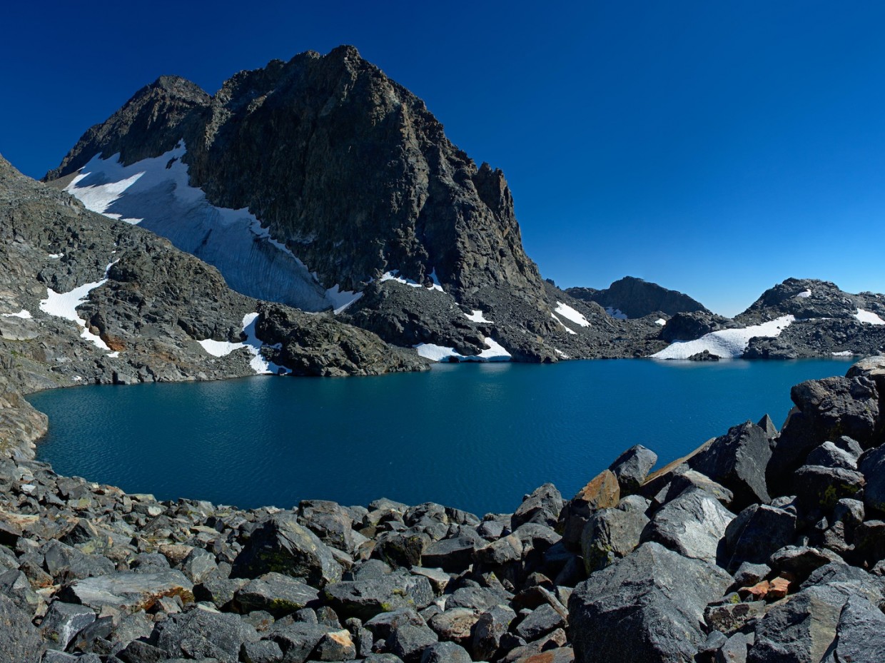
Spanning the same distance as the John Muir Trail (JMT), the Sierra High Route (SHR) stays high where the JMT dips low. In fact, the High Route doesn’t dip below 9,000 feet at all! Most of the route traverses the trailless backcountry, and, thus, carries the risks and beauties associated with such remote areas.
Steve Roper lays out a detailed account of the route in his book, Sierra High Route: Traversing Timberline Country. It’s an entertaining and well-written book and I’d recommend it to any outdoors person interested in hiking any part of the Sierra Nevada. After reading about the route, I decided to map the waypoints described in the text on an interactive CalTopo map; I’m a visual person and I got a lot more out of the book by examining the map as I read.
Backpacking Trips
In 2018, I hiked several sections of the high route. While I intended to complete the entire trek, wildfires and smoke combined to create unsafe conditions on the northern (Headwaters and Canyon Country) sections. I returned in 2020 to hike these final two sections; use the links below to read the trip reports covering the entire Sierra High Route.
Interactive Map
Embedded below is my interactive map of the Sierra High Route. Waypoints and paths are color coded:
- Red: General waypoints along the route
- Blue: Passes along the route
- Orange: Alternate routes suggested by Roper
- Black: Mountaineering opportunities identified by Roper
Clicking on any one of the markers on the map will open a dialog box with notes I paraphrased from the text. The CalTopo site supplies the tools for you to swap out the base layer and overlay all sorts of visuals, including park boundaries, forest fire information, and satellite imagery. Additionally, it is relatively simple to create your own custom PDF maps in as high or little detail as you like!
Please note that I offer absolutely no guarantee that the instructions included with the map will keep you safe and happy on the Sierra High Route. I’ve done my best to interpret the route described by Roper, but you should absolutely not rely on my markers as the best or only path through the high country. That being said, this interactive map allows you to explore the route from the safety of your home!
Aurele 21 September 2018
Hi man, thanks for sharing this detailed map. I start reading and planning for next summer and this surely will help! How much distance did you cover per day on average? Say for a 9h walk/day? Thanks again and happy trails!
Andrew Cox 21 September 2018 — Post Author
Hey Aurele, I’m glad the map will be helpful for you! It’s difficult to say exactly how many miles I covered in a day, but I think I averaged between 15 and 20. That being said, I usually began walking at 7 AM and didn’t ever finish for the day before 4:30 or 5 PM. Some days I walked until 7 PM… Plan for fewer miles per day and you’ll either be right or pleasantly surprised when you have extra time to spare!
james Badham 30 January 2020
Hey Aurele, I have been fascinated by the SHR for a while and watched many YouTube vids and read many trip reports about it on web pages. One think I’ve taken away is that, unless you are ultralight and very fit, it can be hard to do more than 10 miles on many days because of the scree slogs up to difficult passes, the need to find alternative routes around cliff-outs, etc. I haven’t been; just what I’ve gathered from others. 15-20 per day is bossing that route.
CrossCountry 19 September 2023
I love the format of the map you’ve created. Much Thanks.