The Pemigewasset Loop, or “Pemi Loop”, is an extremely popular route around the Pemigewasset Wilderness in New Hampshire’s White Mountains. The more masochistic hikers complete this 30-mile loop as a day hike, but my friends Diane, Juan, and I opted for a relaxing 3.5-day itinerary. Even so, we were all sore and tired by the end of the hike. It’s not just the 10,000-foot elevation gain but also the rugged, rocky trails that make this loop a battle. However, the ridgetop views and beautiful forests make the struggle worth your while!
Pemi Loop Trip Planning
Specs: 29.8 mi | +/- 9800 ft | 3.5 days, 3 nights
Difficulty: Mostly class 1, but there are plenty of class 2 and class 3 sections [learn more]
Location: White Mountain National Forest | Home of the Abenaki and Wabanaki peoples | View on Map
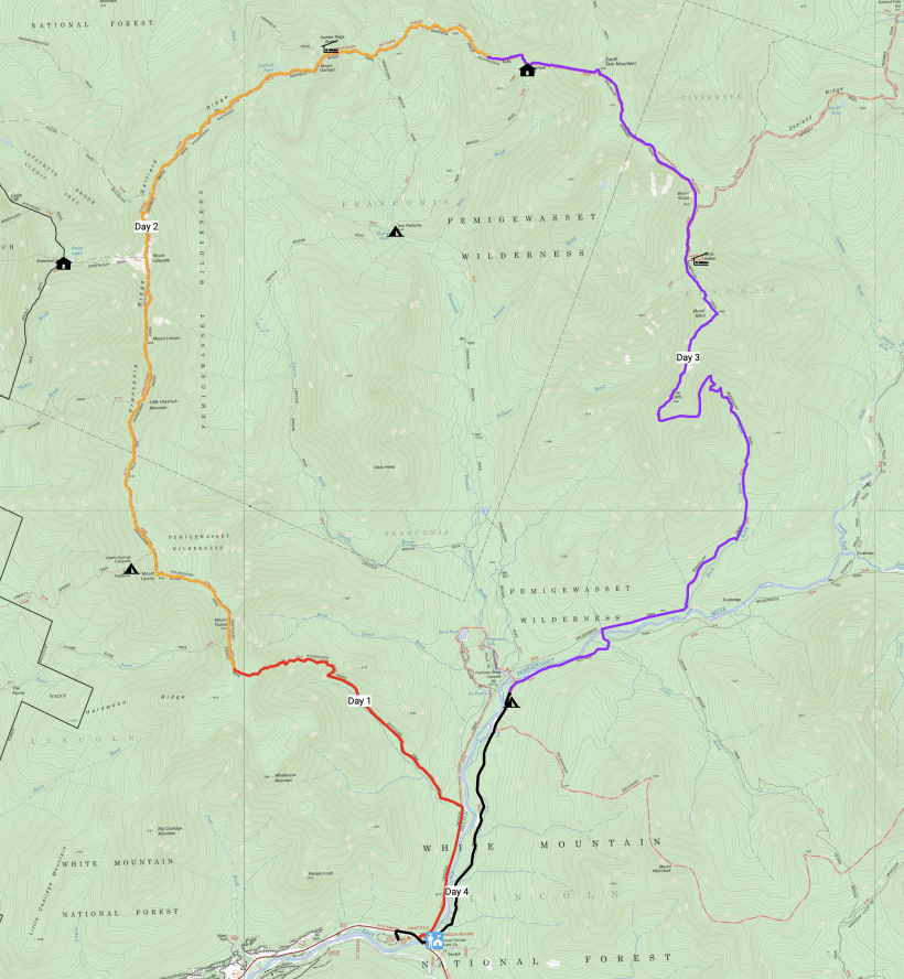
Route: Begin at the Lincoln Woods Visitor Center. Cross the Pemigewasset River to the Lincoln Woods Trail and follow it to the junction with the Osseo Trail. From there, follow the Osseo Trail up to Mount Flume and continue along the ridgeline on the Franconia Ridge Trail. At Mount Lafayette, continue north on the Garfield Ridge Trail to the Galehead Hut. Next, ascend the steep Twinway Trail to South Twin Mountain and then to the junction just below Mount Guyot. Here, take the Bondcliff Trail back down to the Pemigewasset River. At a suitable spot, ford the river and find the Pemi East Side Trail on the opposite side. Follow this path south and west back to the Lincoln Woods Visitor Center.
Of course, the loop can be hiked in the opposite direction or by beginning and ending at a different trailhead! The route described and pictured above is how we chose to complete the Pemi Loop.
Permits and Regulations
If you begin at the Lincoln Woods Visitor Center, you’ll need to pay $5 per day for parking. Alternatively, you may purchase an annual pass or use an interagency pass like the America The Beautiful pass. No permit is required for day hiking or overnight camping along this route. The campsites and shelters along the way are available on a first come, first served basis, and many charge a fee (less than $10/person). Although there are black bears in the area, you are not required to carry a bear canister although you should always protect your food (e.g., by hanging it). Refer to the backcountry camping rules for more information.
Resources
I carried the Franconia-Pemigewasset map published by the Appalachian Mountain Club; you can also by the map as part of a White Mountains set. For information about the White Mountains, visit the Forest Service website. I found the Section Hiker guide on the Pemi Loop to be a great resource as well!
A Night Hike
15 Aug 2019 | 5.1 mi | +2800 / -100 ft | View on Map
Diane, Juan, and I arrive at the Lincoln Woods Visitor Center in the early evening. After spending several days at a technical conference I’m ready for some time in the woods. We shuffle some gear around, hide our valuables in the car, and then shoulder our packs. We cross a wooden suspension bridge spanning the Pemigewasset River and then wander up the Lincoln Woods Trail past a steady stream of people that are returning to their cars. It’s an easy walk; the trail is flat and wide, an easy warm up for the hiking to come.
About two miles later we leave the wide gravel path and turn onto the much narrower Osseo Trail. This little path weaves between the trees along a small creek. Soon, the path trends upwards and we begin climbing toward Mount Flume. It’s not a terribly steep or rugged ascent so we quickly gain altitude. The woods here are beautiful, particularly with the warm evening light streaming through the trees.
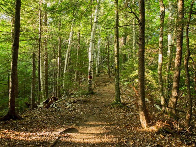
As we gain altitude, the sounds of the creek grow fainter. The map predicts one final intersection of the creek and the trail, however, so we keep on trekking. By the time we reach the beginning of a set of switchbacks, we realize that we’ve walked too far. With dwindling daylight, we take a break to make some dinner. Diane and I scramble down the hill to the creek to fill all of our water bottles – we will not pass this close to fresh water again until tomorrow afternoon — while Juan guards our packs and food from critters.
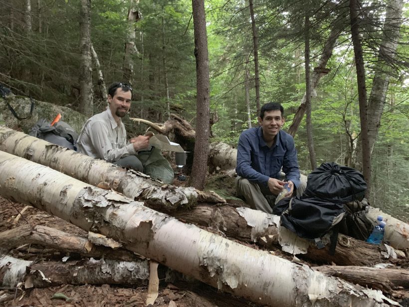
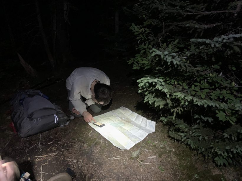
After dinner we don headlamps and continue up the trail in the darkness. I’m grateful for the smooth trail and easy footing as we night hike; a rocky trail would be treacherous! Walking in the dark turns out to be pretty fun; it’s peaceful and quiet, and the stars are out in full force. We’re hoping to find a few flat spots to pitch our tents and, as luck would have it, we do, on a large plateau below Mount Flume. The most difficult part of setting up camp is (predictably) hanging the bear line. We search for several minutes to find a suitable tree and have to make several attempts at throwing the rope over. We eventually succeed! With our food and other scented items safely separated from our tents, it’s time for bed.
RidgeLine Views
16 Aug 2019 | 10.0 mi | +4300 / -4700 ft | View on Map
Sometime during the night a rainstorm wakes me up. Even the gentle rain is loud against the tent fly and I sleep fitfully the rest of the night, worried that we’ll be spending the day wet and miserable. Luck is on our side, however, and the rain stops around 6:30! We all get up, eat breakfast, and carefully pack away the wet tents.
Once we’ve finished packing, we set out across the plateau. We got lucky last night; the campsites we found are some of the only spots visible from the trail! Our easy walk on level ground doesn’t last for very long and we soon begin climbing toward the summit of Mount Flume. The wet foliage is pretty this morning: dark and subdued with twinkling raindrops on every leaf and needle. We spot a bunch of different mushrooms and mosses, including some white, slimy-looking fungi that I nickname “undead flowers.” Diane later discovers that they’re actually called “ghost pipes.”
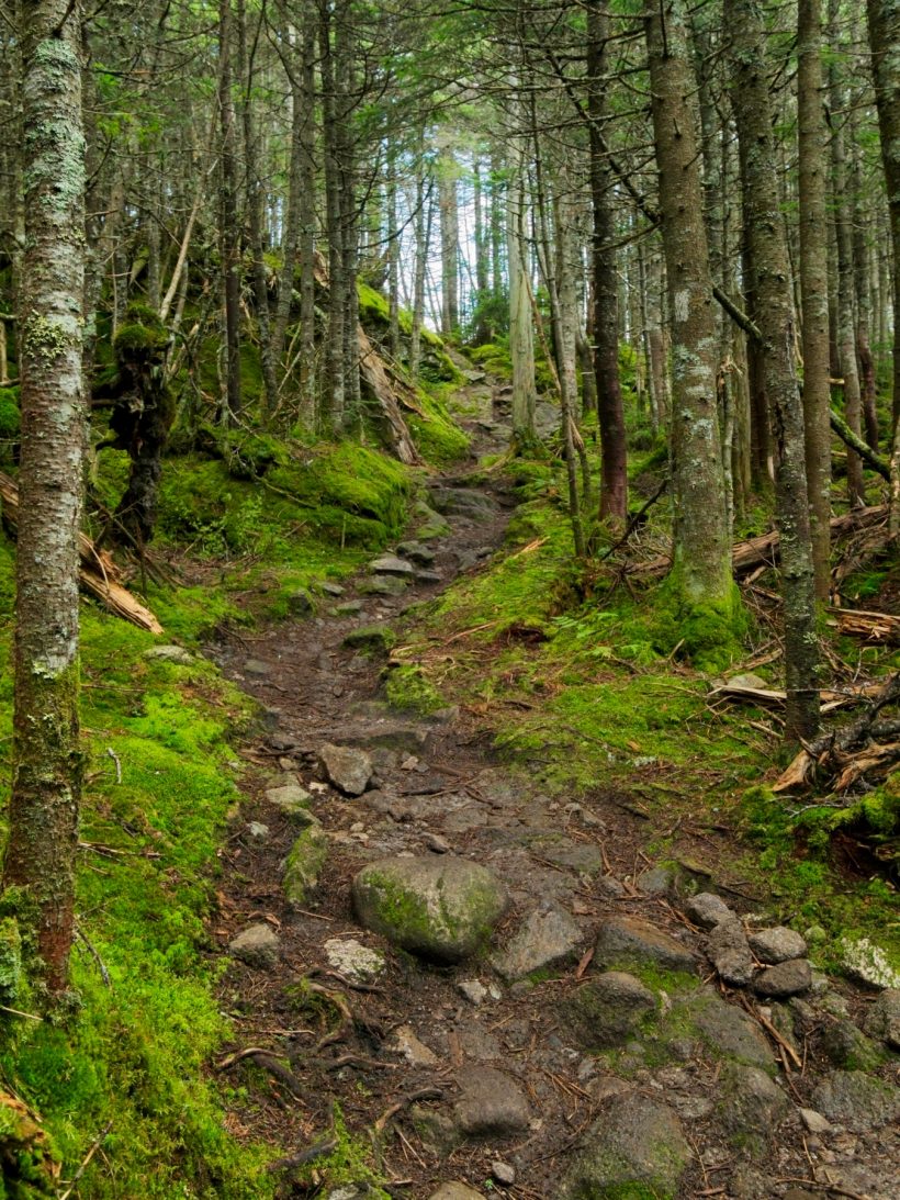
Higher up the mountain, the trail transitions from earth and roots to large, slippery rocks. I enjoy the scrambling; it requires route finding and a little creativity! At these higher elevations we also find ourselves walking into and out of clouds. An occasional break in the trees reveals a solid gray vista: cloud as far as the eye can see. The view from the summit of Mount Flume is similarly lacking, so we don’t stick around for very long.
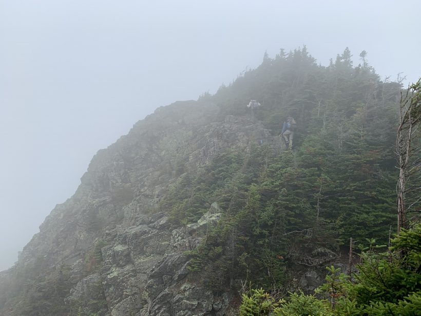
The trail (now named “Franconia Ridge Trail”) drops steeply from Mount Flume before leveling out in a narrow saddle. Only a few minutes’ walk later we’re climbing again, now on our way to the top of Mount Liberty. The views from the top are once more obscured by thick fog and a light drizzle has begun. Tired and hungry, we pause to eat some snacks and stare into the grey void. Then a small break in the clouds appears and we get a fleeting glimpse of a neighboring ridge. The clouds continue to swirl, sometimes revealing large swaths of the surrounding landscape, other times boxing us in completely.
Optimistic that we may get to actually see something along this trail, we continue down from Mount Liberty. Shortly after leaving the summit we reach a junction with the Appalachian Trail (AT); for the rest of today and part of tomorrow, we’ll be walking the AT! Like our descent from Mount Flume, the walk down from Mount Liberty is steep and occasionally treacherous on the slippery rocks. The trail again levels out on a narrow ridge line and then begins climbing again. “Down and back up again!” becomes our refrain as we navigate this roller coaster of peaks and saddles.
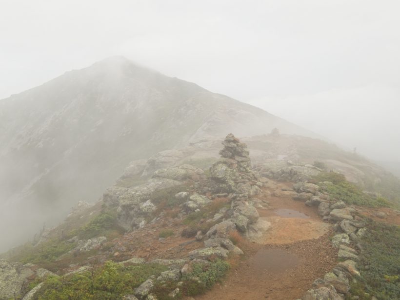
The next peak on the Pemi Loop is Little Haystack Mountain. The clouds seem to be thinning out and we occasionally get glimpses of the trail in front of us. Just after reaching the top of Little Haystack Mountain we enter the “Alpine Zone,” a sensitive ecosystem with spongy soil and no large trees or bushes. Camping is not allowed here, but you’d be hard pressed to find a comfortable place for a tent anyway; the landscape is rocky and far from level.
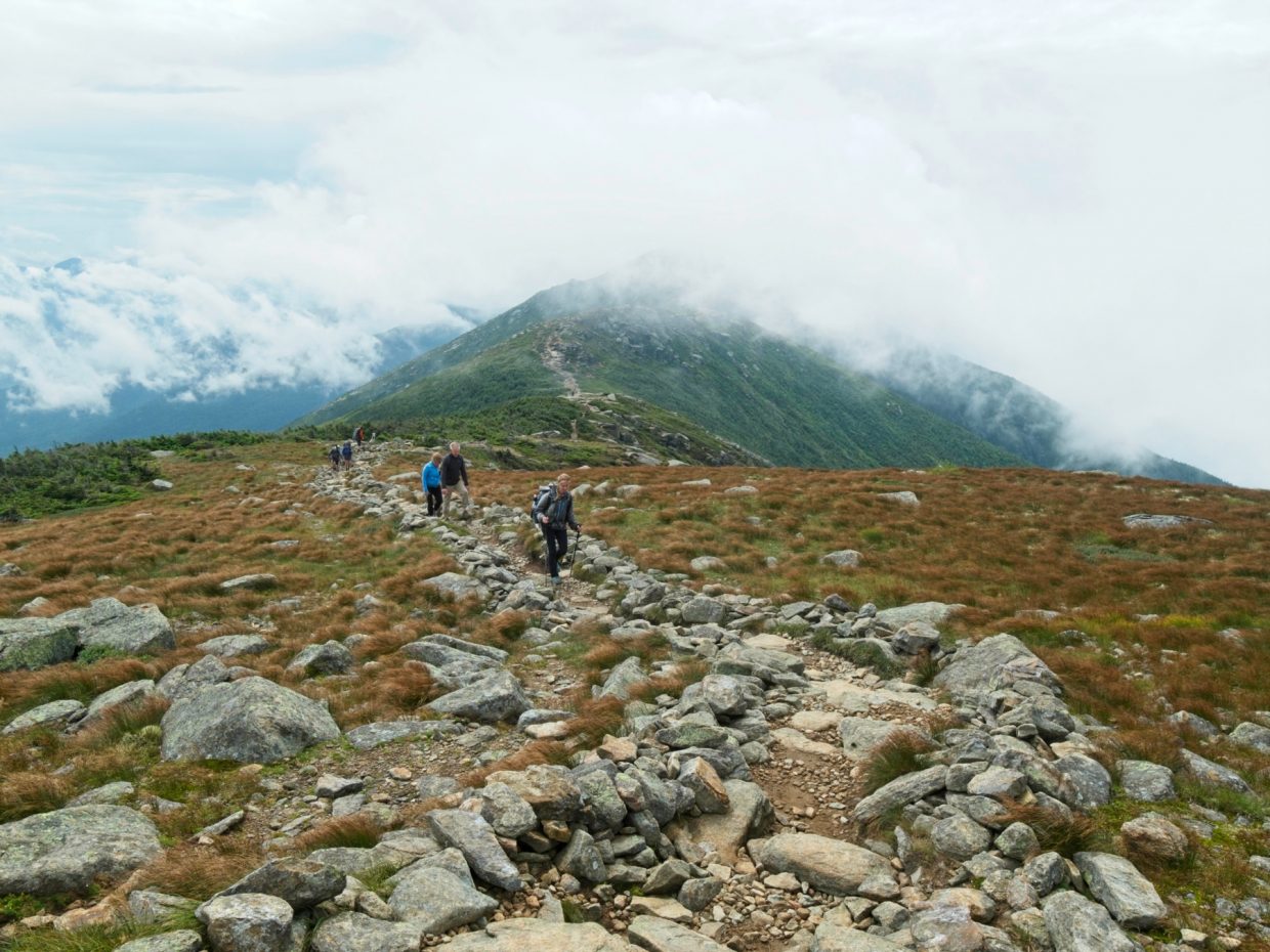
Beyond Little Haystack Mountain, the trail remains relatively flat as it winds along the ridgeline. While we follow a string of cairns, the sun peaks out from the clouds and thins out the fog even more, although the light rain persists. After a morning of lackluster views, we’re all excited to actually see our surroundings, as evidenced by the big smiles in the photos!
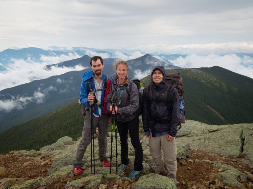
The clouds continue to thin as we trek to Mount Lincoln and then to Mount Lafayette. With summits over 5000′, these are the highest peaks we’ll hit on this trip so I’m glad we’re afforded some nice views! The rain stops a little later on; the sunshine and a strong breeze dry us out pretty quickly.
We stop to eat lunch on some sunny boulders near the top of Mount Lafayette. A whole bunch of like-minded day hikers, weekend backpackers, and AT thru-hikers are also picnicking up here. We stretch the tents out to dry while we eat and relax.
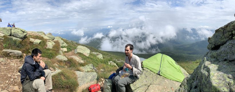
After lunch, we continue down the trail. There is a long descent ahead, some of it quite steep and slippery on large stone slabs. We descend carefully through the open alpine country and then into a beautiful pine and birch forest.
The trail continues downhill for quite a while but, eventually, we begin climbing again. “Down and then up again!” The rain and mist that characterized the morning is long gone and sunlight streams through the trees. An hour or two into the woods we pause to relax on a fallen tree and eat some snacks. A couple of AT hikers we’ve been leap-frogging with this afternoon pass us with a wave.
Later in the afternoon we trek past Garfield Pond, the largest body of water on the entire loop. We try to get close enough to fill our water bottles, but we’re not desperate enough for water to get our feet wet by squelching through the muddy shoreline. There’s a magnificent campsite on the opposite side of the trail from the lake with excellent views of the Franconia Brook drainage. The site is already taken and it’s a bit early in the day, so we continue hiking.
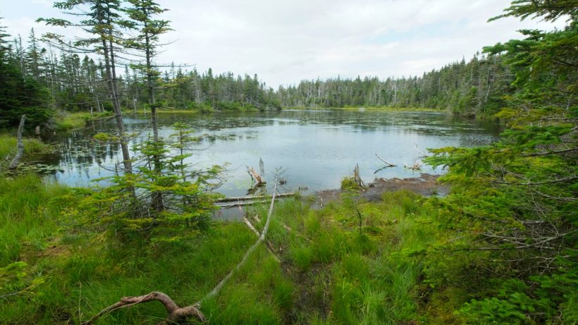
After leaving the small lake, we begin a difficult climb to the summit of Mount Garfield. I settle into a pace that I can maintain for a while and struggle up the trail. By the time I reach the top of the mountain, I’m breathing heavily and thoroughly ready for a rest. Juan, Diane, and I take a long break on the barren mountaintop and admire the sweeping vista before us. The Franconia Ridge remains shrouded in clouds, but sunlight shines on most of the countryside around it. We’ve come a long way today!
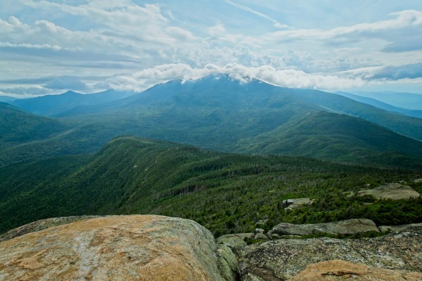
Once rested, we shoulder our packs and descend from Mount Garfield. Only a few minutes later we reach the Garfield Ridge Campsite. Many of the AT thru-hikers we’ve seen throughout the day are gathered near a creek here, refilling their water bottles and chattering away. We decide to push on a little further down the trail. The descent becomes a bit treacherous past the campsite; the trail and creek are one and the same and we’re forced to step down a steep slope of slippery rocks, dodging the small waterfalls and pools. I grumble to myself all the way down the trail until our path finally diverges from the creek.
For the next hour, we navigate a series of rolling hills, passing the Franconia Brooks Trail and several unnamed peaks. We meet several other backpackers walking in the opposite direction and ask them about campsites options ahead. One helpful couple tells us that there are two spots in the next half mile, so we trudge on a little further. Just past the Gale River Trail junction, we find the two spots and claim the larger of the two. It’s still a tight fit; our two tents fill nearly the entire clearing, but we’re too tired to care much. Besides, open areas for tents are few and far between in these dense woods; we’re not likely to find another.
We spend what’s left of the day relaxing at camp. We’re all tired, sore, and muddy from the long day of hiking, but a hot dinner bolsters our spirits! By the time night falls at 9 PM, everyone is ready for bed.
Nothin’ but Cloud
17 Aug 2019 | 11.4 mi | +2500 / -4500 ft | View on Map
The next morning we awake to a soggier world than when we went to sleep. A few showers drifted through during the night, but have thankfully moved on. We eat a hot breakfast, then pack up our wet tents and hit the trail. Immediately after stepping onto the trail, we’re hopping from one wet boulder to another. There’s no rest for the weary!
A short climb brings us to the Galehead Hut. Calling this small hotel a “hut” is a bit silly. There must be at least five or ten bedrooms, a fully-stocked kitchen, and a roomy dining area. They also have running water and toilets! Staying here wasn’t really an option for us since the rooms are available by reservation only, but perhaps on a future trip…
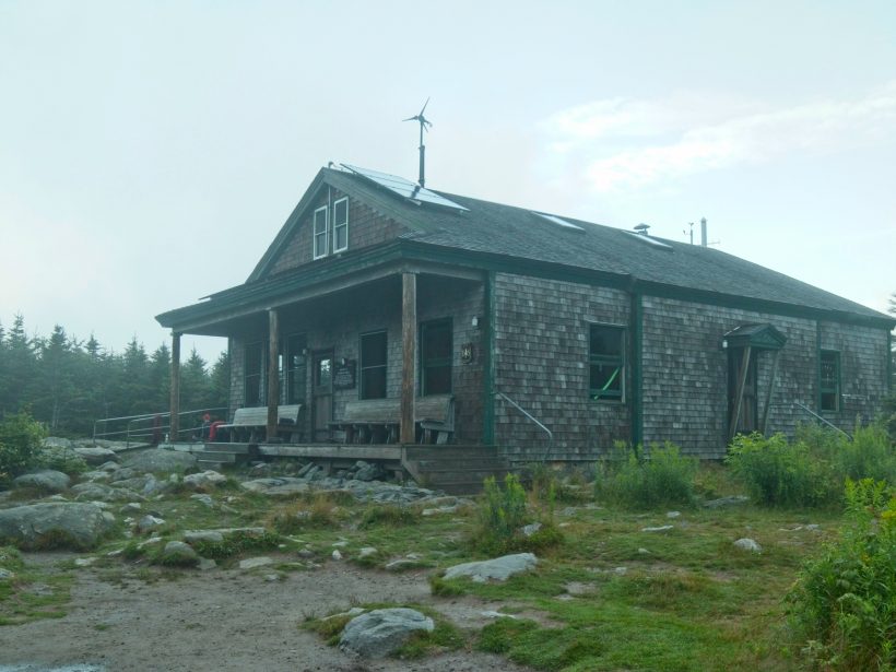
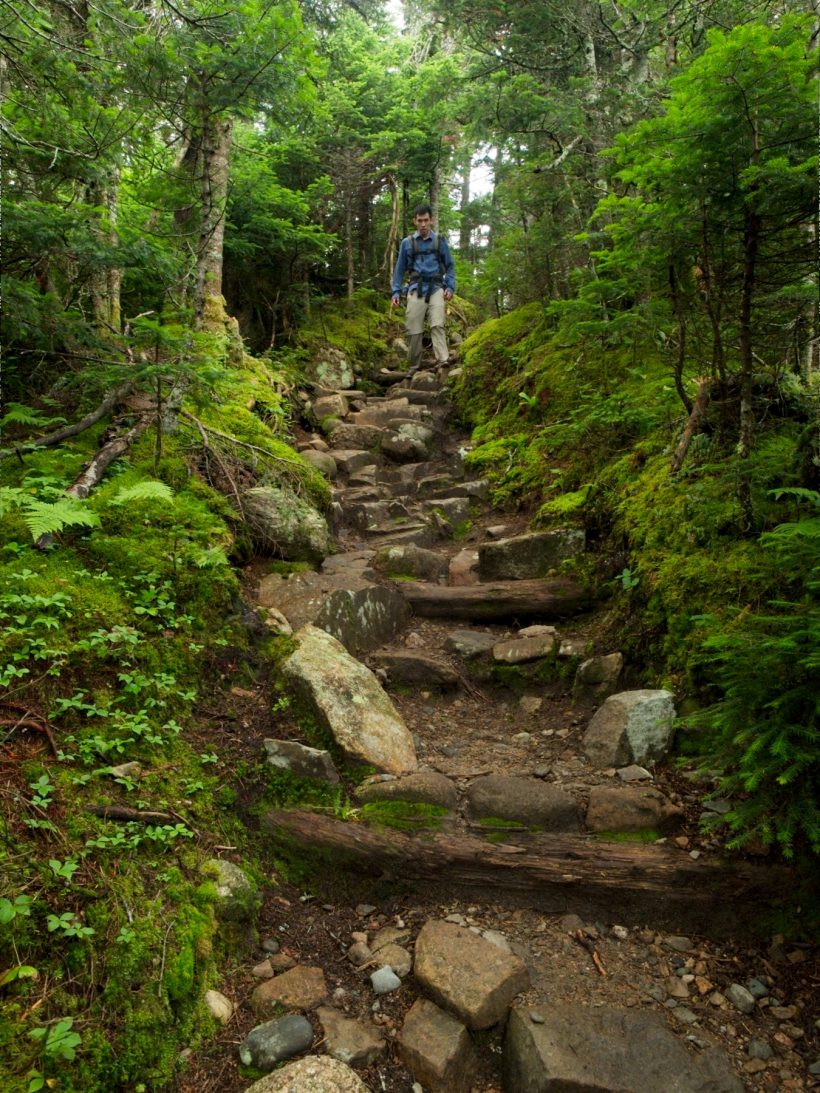
After a brief pit stop at the “hut” we continue up the trail. The next hour is perhaps the most strenuous bit of hiking I’ve done this year. The Twinway Trail climbs steeply toward South Twin Mountain and the trail is composed entirely of dishwasher-sized boulders, all wet from last night’s rain. It’s less like a trail than an avalanche chute. We take frequent breaks to rest our legs (which are sore from yesterday) and calm our racing hearts during the long ascent.
When we finally reach the top of South Twin Mountain, panting and tired, we’re disappointed to find a complete white out. All that huffing and puffing, and we can’t see more than 50 feet in any direction. We hang out for a few minutes to recover from the steep climb but then head down the mountain. For a while, we tread along solid stone slabs surrounded by stubby pines but soon return to the wet, misty forest we’ve become accustomed to. It’s a peaceful walk through the quiet woods although the rocky ground requires constant attention to avoid tripping.
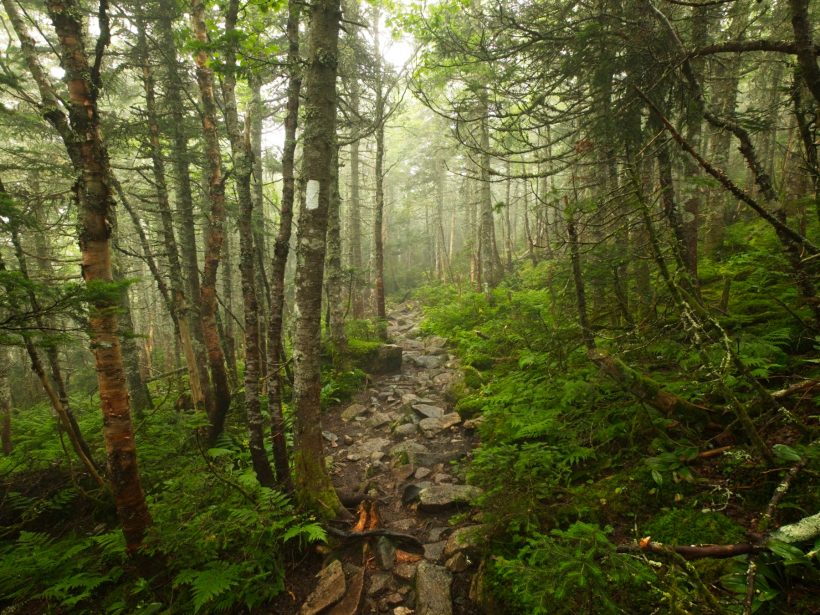
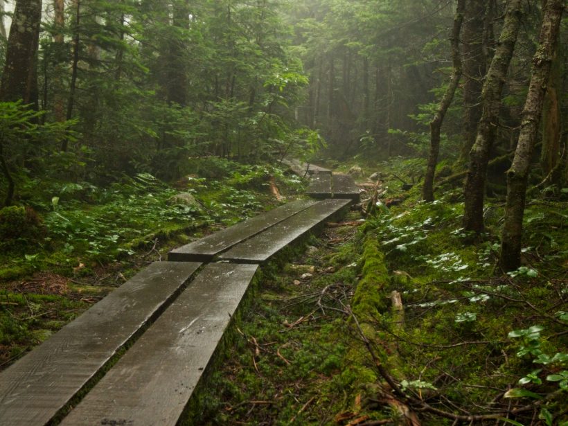
Thankfully, the trail remains relatively flat for the next few hours. There are a few undulating hills, but nothing anywhere near as steep as the ascent to South Twin Mountain. Some sections of the path are swampy and we hop from rock to rock to avoid soaking our feet, like a miles-long game of hopscotch. Occasionally, a boardwalk provides dry passage through the woods, but not through the wettest sections.
After walking through the forest for an hour or two, we reach Mount Guyot and a junction with the Appalachian Trail. From here, the Pemi Loop continues south while the AT turns east. The trip reports I read while researching this hike claimed that the views from Guyot are spectacular, but we’re forced to take their word for it; all we can see is white. The trail atop the mountain is mostly talus, a collection of small rocks that clink and shift gently under your feet. We wander along this rocky route between cairns for a little while and then descend back into the forest, passsing the spur trail to the Guyot Campsite as well as the spur to West Bond, another peak with supposedly legendary views. We don’t even bother hiking out; the view will just be a sheet of white.
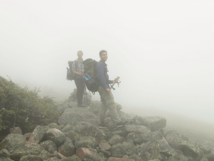
A short climb delivers us to Mount Bond and the start of the Bondcliff section of the Pemi Loop. Although the cliffs don’t supply any views in this weather, there are some interesting features at our feet. Many of the rocks are covered in lichen; a few sport patterns that look like roses. There are also a plethora of blueberry bushes up here in the rocky landscape. I grab handfuls as I walk along, a reasonable consolation prize for the lackluster scenery. Finally, near the Bondcliff peak itself we pass a cairn that is absolutely covered in white marked tussock moth caterpillars. They’re colorful little bugs with tufts of orange and white fir, little red buttons down their backs, and a coat of fine white hairs. I pause to stare at them for a few minutes and then continue along the trail.
We lose our way momentary while descending from Bondcliff; a dozen use trails crisscross the mountain, most of which is composed of stone slabs interspersed with short shrubs. The drifting clouds don’t make the route finding any easier, but we eventually locate the path and descend from the summit. The downward trek is mostly straightforward except for a small cliff; maneuvering down the rocks is a tad difficult with a bulky backpack on!
Once below the cliff, the trail descends in long, easy switchbacks. The sun begins peaking through the trees, teasing at views that might be available on the mountaintops we just left. I enjoy the descent, particularly the red and white birch trees that line the path.
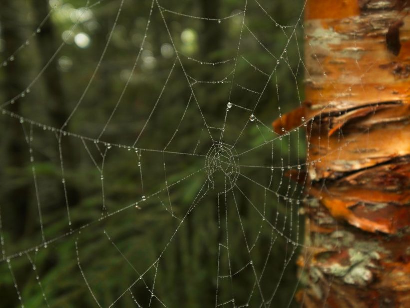
Below the switchbacks, the trail follows the Black Brook as it grows from a trickle to a sizable creek. The woods near the confluence of Black Brook and the Pemigewasset River remind me of the forests in Indiana; the towering trees and thick floor of fallen leaves feel like home.
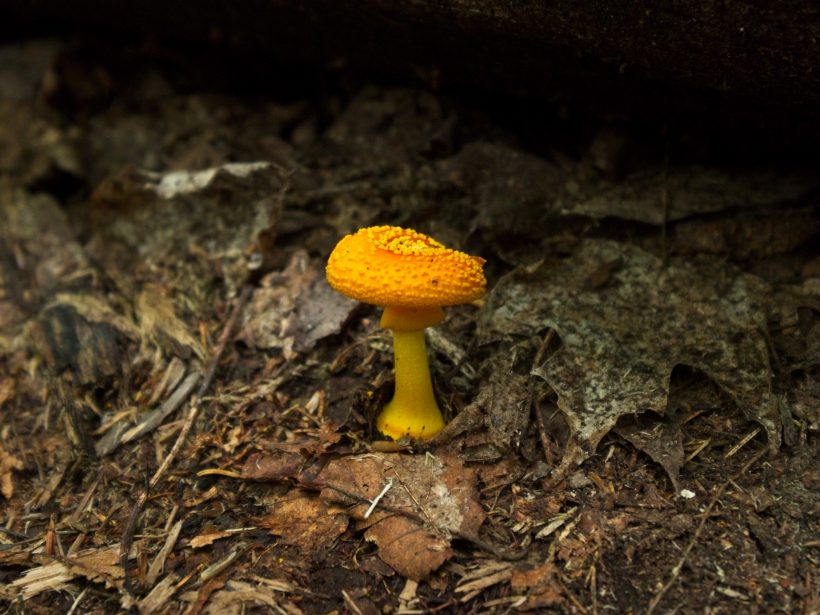
An hour or two after departing Bondcliff, we reach a wide, flat path that follows the banks of the Pemigewasset River. This used to be a railroad line, as revealed by the abundant railroad ties across the path. After spending days navigating precarious rocks and steep slopes, the old rail line feels like a highway! We follow this easy path to a spot where it meets the banks of the river. We’re planning to camp at the Franconia Brook campsite, which is on the opposite side of the river. We’re not very interested in walking all the way back to the visitor center and backtracking several miles to reach the site. Instead, we start searching for a way across the river. It’s not a very deep waterway so we don’t have much trouble rock-hopping across.
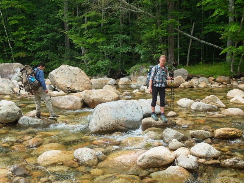
Once on the opposite bank, we begin searching for the Pemi East Side Trail. We head south, the direction the trail ought to be, but give up after searching for 20 minutes or so. Time for Plan B. We return to the river and then follow it downstream. According to the map, the trail eventually reaches the riverbank, and walking on the sand and rocks beats bushwhacking through the forest brush. Only a few minutes later, we find the path and continue toward the campsite.
The campsite is mostly empty when we arrive, so we claim two tent sites away from the other visitors. The weather is looking a little iffy; dark clouds are gathering overhead, so our first priority is setting up the tents and storing our dry gear inside. When the rain fails to materialize, we wander down to the banks of the river and enjoy a leisurely dinner. The rocky shoreline isn’t the most comfortable spot to relax, but the light breeze and open air is lovely.
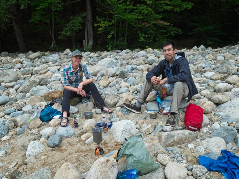
We spend most of the evening by the river, watching the sun set. A few distant rumbles hint at a thunderstorm, but it never reaches us! With darkness falling, we hang our food from a massive tree and then crawl into bed.
One Last Stroll
18 Aug 2019 | 3.3 mi | +200 / -400 ft | View on Map
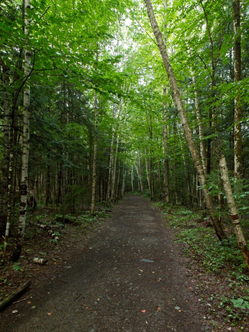
We make quick work of packing up camp in the morning. The walk back to the visitor center and the parking lot isn’t terribly far, but takes us an hour or two. It’s a nice easy walk, much like the path we followed on our first day on the Pemi Loop.
Back at the parking lot, we donate what remains of our isobutane canisters to a family heading out on the same loop (we can’t take the gas with us on a plane), pile into the rental car, and drive off in search of a hot breakfast.




jim cox 17 January 2020
awesome….looks like summer…in jan? granpa
Brandon Farley 12 July 2020
Nice blog, great information!