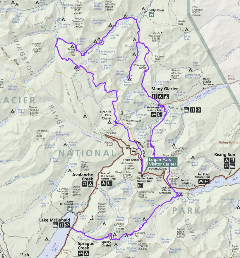
After spending several days doing day hikes around Glacier National Park, my dad, Steve, and I embark on an 8-day, 7-night backpacking trip. Beginning at Logan Pass and ending at the Lake McDonald Lodge, this loop hits many of the highlights in the park! To avoid an über-long post, I’ve split the adventure into two articles; this one details the first half of the trip.
Trip Planning
Specs: 92.6 mi | +15,000 / -18,500 ft | 8 days, 7 nights
Difficulty: Class 1 [learn more]
Location: Glacier National Park, Montana | View on Map
Route
Begin at Logan Pass on the Highline Trail. Follow that high route to the Fifty Mountain campground, then continue down the Waterton Valley Trail to its junction with the Stoney Indian Pass Trail. Follow the Stoney Indian Pass Trail to the bottom of Cosley Lake and cross the outlet creek to the Ptarmigan Trail. Following that route to Elizabeth Lake, transition to the Helen Lake Trail for an out-and-back visit to Helen Lake. Back at the foot of Elizabeth Lake, rejoin the Ptarmigan Trail and hike up to the Ptarmigan Tunnel and then descend to Many Glacier. After enjoying a bowl of ice cream, hike on up the Piegan Pass Trail to the pass and then down to the Reynolds Creek campground. From here, head southwest on the Gunsight Pass Trail to the Sperry Campground. The nearby spur trail to the Sperry Glacier is highly recommended. Finally, continue down the Gunsight Pass Trail to the Lake McDonald Lodge.
Getting There
I recommend taking the Eagle Transit shuttle from Kalispell (or several other nearby towns) to the Apgar Visitor Center, saving you the trouble of parking your car in the national park and contributing to the overcrowding. From Apgar, take the free park shuttle bus up to Logan Pass to begin the hike. When you finish at the Lake McDonald Lodge, just ride another one of the free shuttle buses back to the Apgar Visitor Center and then the Eagle Transit shuttle back out of the park.
Permits and Regulations
Glacier National Park charges an entrance fee (paid per vehicle, or per person if you take the shuttle into the park); Steve and I were admitted together on the shuttle using my America the Beautiful parks pass. Besides the entrance fee, you’ll have to pay for a backcountry permit, which can be reserved online beginning on March 15 or can be obtained the day of or the day before your trip on a first-come, first-served basis. We submitted a reservation and got lucky, winning the literal permit lottery with the exact itinerary that we wanted. However, we met many hikers that got great permits as walk-ups. Visit the park website for details on backcountry camping.
The camping regulations at Glacier National Park are consistent with many other national parks: camping is permitted only in designated campsites and a permit is required for all overnight trips. In contrast to many western parks, however, bear canisters are not required in Glacier. Instead, each campsite has either a bear box or an elevated pole to hang your food from. Bear spray is also highly recommended, although I can’t find any rules that say it is required… Again, the park website has all of the information you need to plan an amazing trip!
Resources
I carried the Glacier and Waterton Lakes National Parks map published by National Geographic for this trip and found it to be an excellent resource although it annoyingly lacks trail mileages. The Backcountry Planning Map published by the park includes the trail mileages, trailhead and campsite acronyms, but very little topographical detail. Together, the two maps are a great resource. I also found the official park newspaper to be a fantastic resource; you’ll receive one when you enter the park, but you can read this and previous years’ editions online as well.
The Highline Trail
2 Aug 2019 | 9.5 mi | +2900 / -3000 ft | View on Map
Steve and I get up bright and early; we’ve got a lot to get done this morning before we hit the trail. Our first order of business is dropping our luggage off at the Mini Golden Inns Motel in Hungry Horse. We’re staying there after our backpacking trip and they’ve kindly agreed to hold our luggage while we trek around the park! Next, we return the rental car to the Kalispell Airport and then wait at a nearby hotel for the Eagle Transit shuttle to the park. A few hours later, we hop off the shuttle at the Apgar Visitor Center and walk a short distance to the nearby ranger station. There, we pick up our permit and watch the mandatory bear safety video which contains the almost-funny-if-it-wasn’t-so-scarry instructions, “If attacked by a grizzly bear, play dead. However, if the bear begins to eat you, fight back.” Yikes.
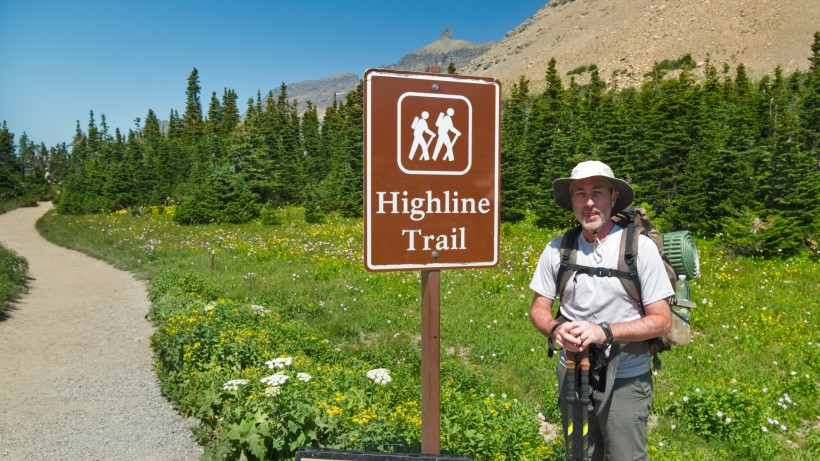
After picking up our permit, we walk back to the Apgar Visitor Center and wait in a crowd of other visitors to board the free park shuttle. We transfer to a smaller shuttle at the Avalanche Creek trailhead (the big buses don’t fit on the narrow, winding road to Logan Pass) and reach Logan Pass by mid-afternoon. While I would have preferred starting the hike first thing in the morning, I appreciate the convenience of the public transit options. As an added bonus, we’ve saved many hundreds of dollars by returning the rental car today; it seems silly to pay for a car that will sit collecting dust in a parking lot somewhere! Steve and I fill our water bottles at the Logan Pass Visitor Center, unpack our trekking poles, and the cross the Going To The Sun Road to reach the trailhead. I snap a photo of Steve with the Highline Trail sign and then we begin hiking!
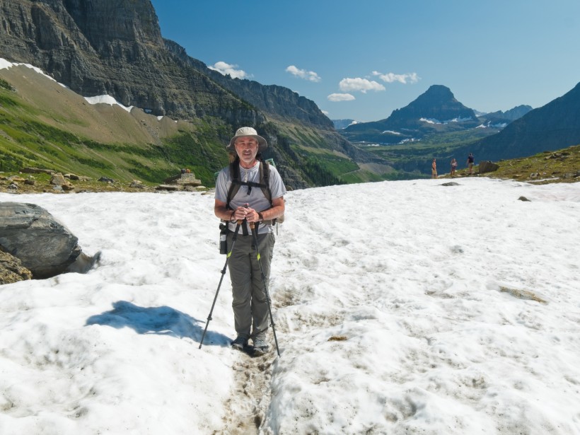
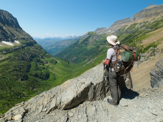
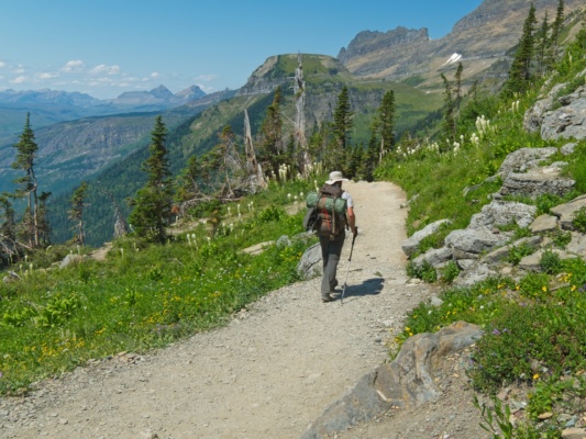
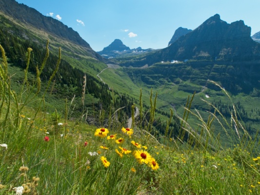
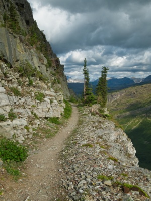
Near Logan Pass, the Highline Trail is mostly flat and offers superb views of the Logan Creek drainage. As such, it’s an incredibly popular route for day hikers and backpackers alike. We pass dozens of people in the first several miles, occasionally edging past a few acrophobic hikers clinging to the safety line strung along parts of the path.
Of course, no trail is completely flat. The Highline is no exception and includes several moderately steep slopes. With our backpacks at their heaviest, packed with 8 days of food, we both struggle a bit on the uphill sections. Thankfully, the afternoon isn’t too hot and the ascents aren’t all that long. Besides, there is plenty of amazing scenery to distract us from the mild discomfort of uphill hiking.
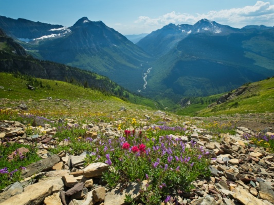
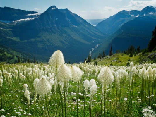
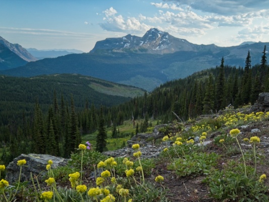
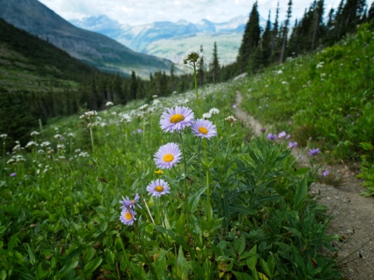
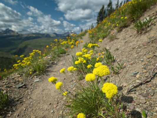
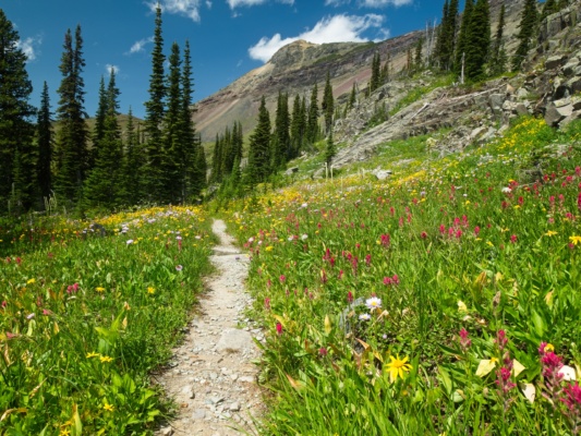
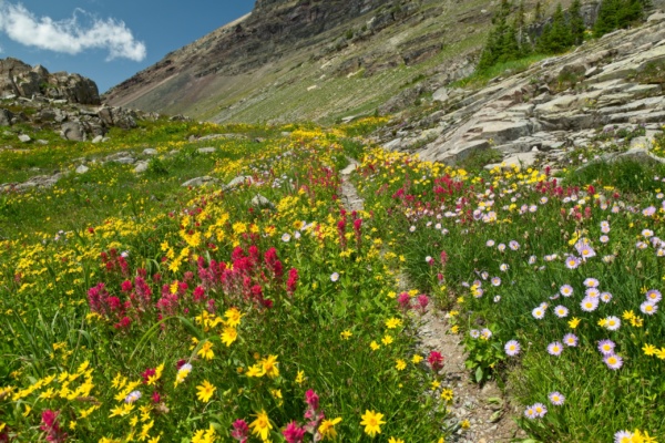
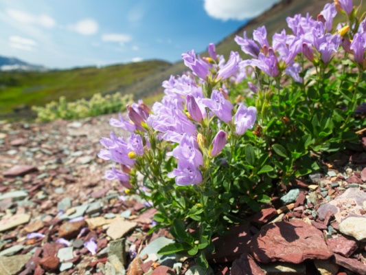
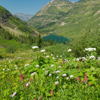
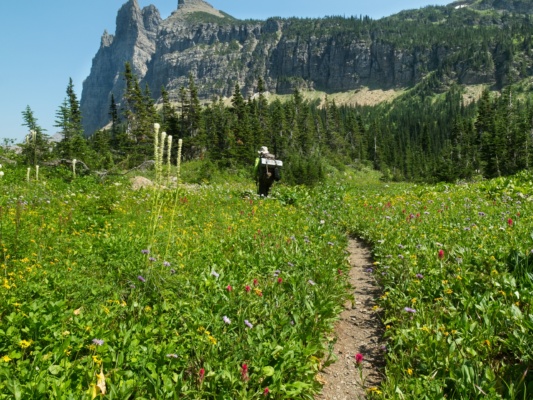
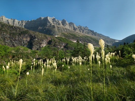
Consistent with practically all of the day hikes we completed earlier in the week, the Highline Trail passes through dozens of wildflower patches. I stop to photograph several particularly pretty displays of blanket flowers, Indian paintbrush, penstemon, and bear grass, but try not to tarry for too long; we have about 10 miles to hike today and we got a rather late start.
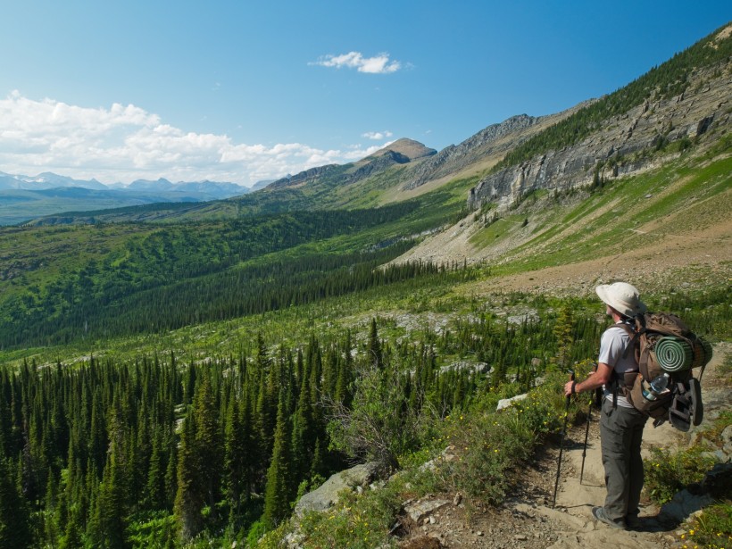
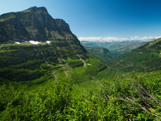
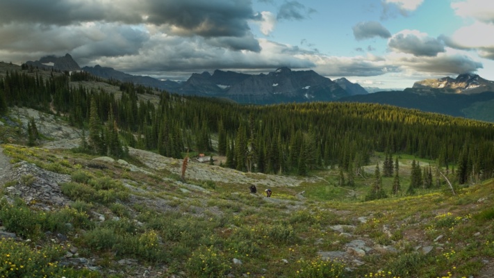
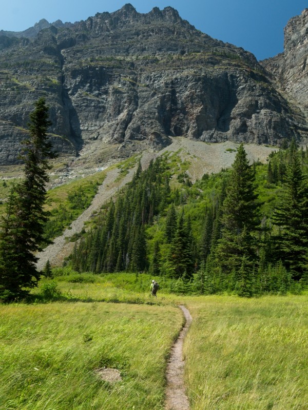
The trail winds along the base of the Garden Wall for miles, all the while with incredible views of the valleys below as well as the mountains that line them on the opposite side. We encounter fewer and fewer people as we put distance between ourselves and Logan Pass. Soon, we practically have the trail to ourselves. This phenomenon seems to hold true in every national park I’ve ever visited; if you want solitude, pick a trail and walk away from the parking lot for a few hours.
About seven miles down the trail we reach a spur, the “Garden Wall Trail,” that climbs steeply to the top of the ridge, i.e., the continental divide, and offers a top-down view of the Salamander and Grinnell glaciers. The promise of such a lofty view overlooking a glacier we hiked to a few days ago is too good to pass up, so Steve and I gather our strength and begin climbing. And oh, what a climb it is! I’m forced to stop every minute or two to catch my breath and slow my racing heart.
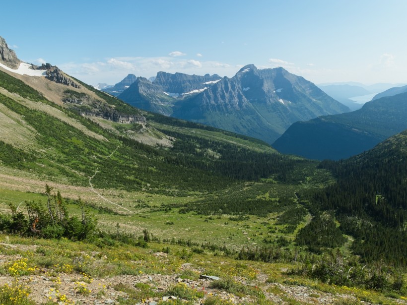
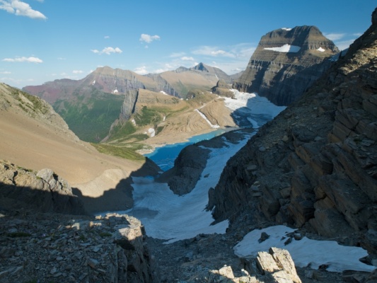
With our heavy packs, it takes us the better part of an hour to reach the top of the ridge, a 3/4-mile walk with an elevation gain of about 1000 feet. The views are worth the effort, however! On the opposite side of the pass, the ground drops away in a steep chute of loose rock and gravel, very much like Frozen Lake Pass or Snow Tongue Pass on the Sierra High Route. The Salamander glacier is spread across the slope below the rocky chute and above the teal waters of Upper Grinnell Lake. Both Steve and I are tired from the steep climb and I’m feeling a little light headed, so we decide to cook and eat dinner up here. Descending a few feet from the col, we find a rocky shelf that is sheltered from the wind and start up the stove. A few minutes later, we have boiling water and wait impatiently for our food to rehydrate. In the meantime, it’s nice to relax with such an impressive view!
After eating and resting, we both feel more energetic and once again capable of hiking the remaining miles to our campsite. On the way back to the Highline Trail, we pass right by a bighorn sheep that is grazing on the tufts of grass scattered across the rocky slope. Thankfully, the descent goes much more quickly than the ascent and we’re soon back on track.
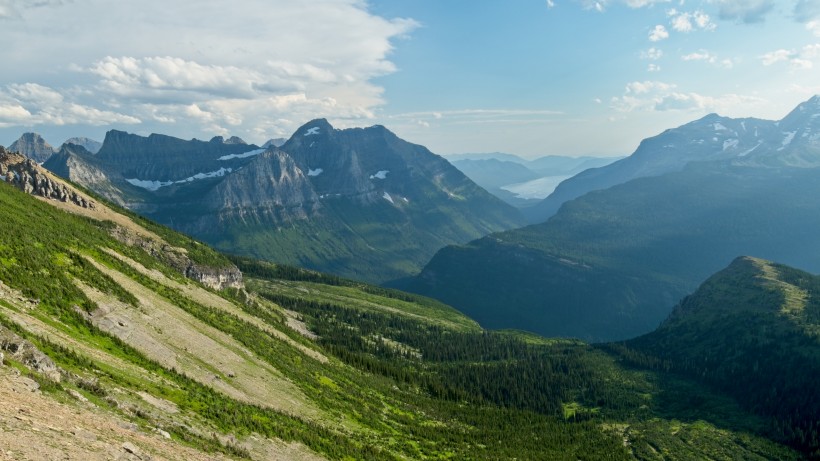
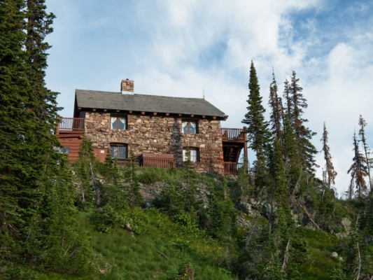
About a half mile further down the trail we reach the Granite Park Chalet, a stone building with several rooms for rent, a common area, a nice porch, and even a kitchen! We don’t have reservations there, but stop by briefly to satisfy our curiosity. It certainly looks like a nice place to stay!
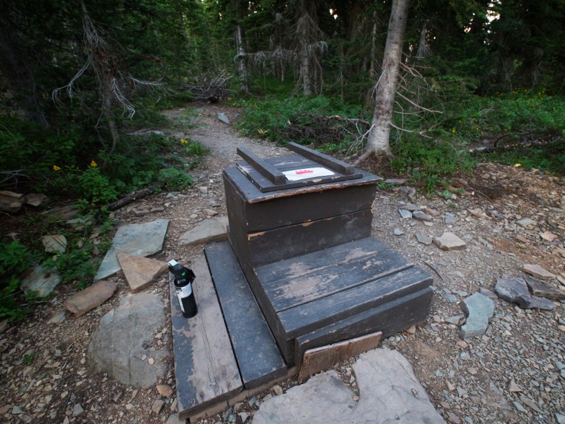
As the sun is getting dangerously close the horizon, we soon leave the chalet and walk the remaining half mile to the Granite Park campsite. By backcountry standards, the campsite (and all established sites in the park) is fairly luxurious. Four neatly-bounded tent pads are scattered around the campsite, with a designated cooking and eating area located a short distance from the camping area. A frame made of metal pipes stands next to the cooking area and serves as an easy place to hang a bear bag. The biggest luxury of all is the toilet: a wooden box with a toilet seat and a convenient back rest placed over a big old hole in the ground, no digging required!
We follow the proper order of operations as we walk into camp. First, we head over to the food prep area and pull all the scented items out of our backpacks. These items go in our bear bags and should never be taken to the tent sites. Because bears can smell food from several miles away, it’s best to avoid having scented items where you are going to sleep. In fact, eating dinner a few miles away from camp, as we’ve done tonight, is generally a good idea in grizzly country. Once we’ve hung our food and other scented items from the metal poles, we take the rest of our gear to the last open campsite and pitch the tent. It’s been a long day, filled with lots of travel and some difficult hiking, so it feels amazing to crawl into a sleeping bag and lie down. Most of all, it’s great to be on the trail in such a wonderful place.
Highline Trail, Day 2
3 Aug 2019 | 13.0 mi | +3700 / -3600 ft | View on Map
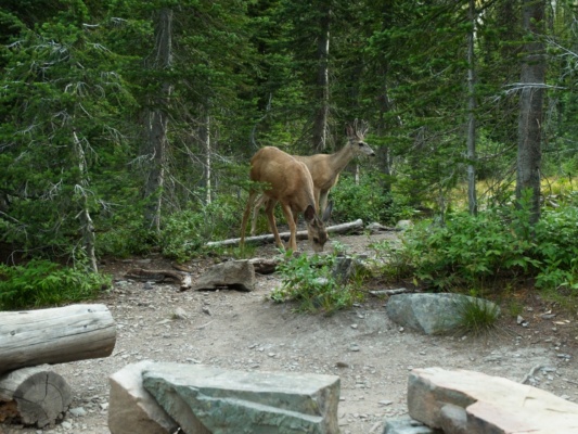
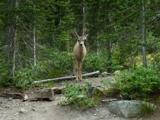
Steve and I get up early the next morning and enjoy a hot breakfast in the company of several deer who are also having a morning meal. They don’t seem to be very afraid of us and wander within 10 or 15 feet of us, stopping to stare every couple of minutes.
After eating and packing up camp, we return to the Highline Trail and continue our northward march. It’s a cool, breezy morning and the sun is hidden deep below the mountains immediately to the east. I can’t complain; it’s been hot during many of the afternoons we’ve spent in the park this week so the cooler temperatures are welcome. Two hikers that we camped with last night — Henry and Eli, from Boston — pass us shortly after leaving Granite Park; they scored a pretty great walk-up permit but have to trek 20 miles to their next campsite and are booking it. We’re in no such hurry, so we wish them good luck and continue on at a more relaxed pace, enjoying the continually great views from this wonderful trail.
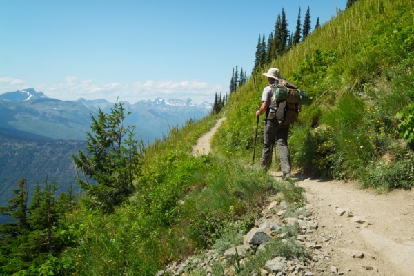
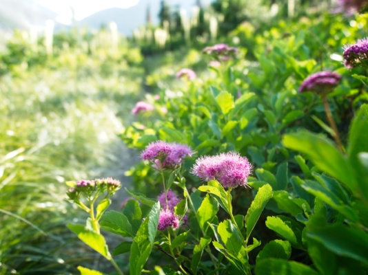
Following a short but steep climb out of Granite Park, the trail levels out for a while and we contour across the mountainside. Many sections of the trail are lined with beautiful wildflowers that, despite their prolific presence around here, continue to charm me.
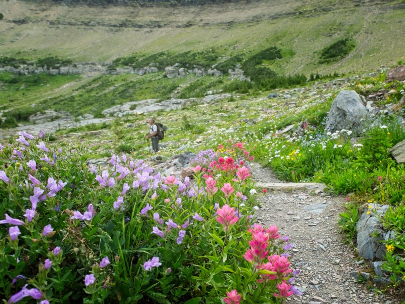
A few miles down the trail we reach a spur that climbs up to Ahern Pass. It’s not a terribly long walk, so we head on up. Similar to the spur we followed last night, the steepness of this trail catches us both by surprise. Thankfully, it’s a short walk and we soon reach the saddle with a fantastic view of Helen Lake. We’ll be staying down there in a few days!
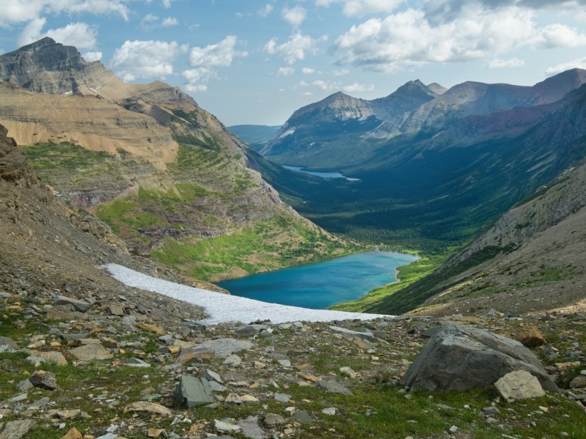
After admiring Helen Lake for a few minutes, we return to the Highline Trail and continue hiking. We pass more beautiful wildflowers, which I diligently photograph.
As the morning transitions into midday, the clouds that obscure the sun begin to thin out and we’re treated to a little extra warmth and light. Of course, that “little” warmth will soon turn into “a lot” of warmth, but it feels nice at the moment. Winding our way across the Cattle Queen Creek drainage, Steve and I scan a series of open meadows for wildlife but can’t spot anything, not even any deer! Just past the creek itself we reach a roaring cascade that cuts right through the trail. Not wanting to get our feet wet, we jump across, only barely clearing the slippery rocks.
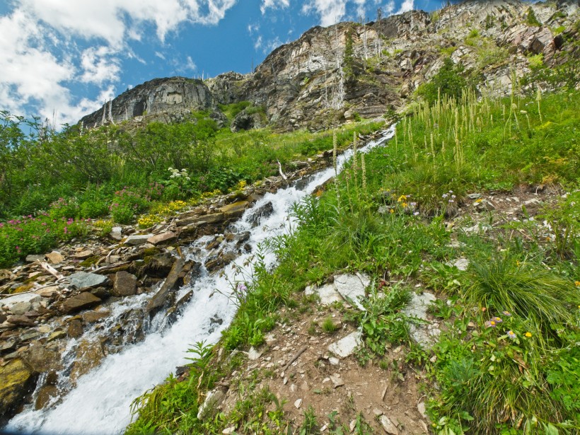
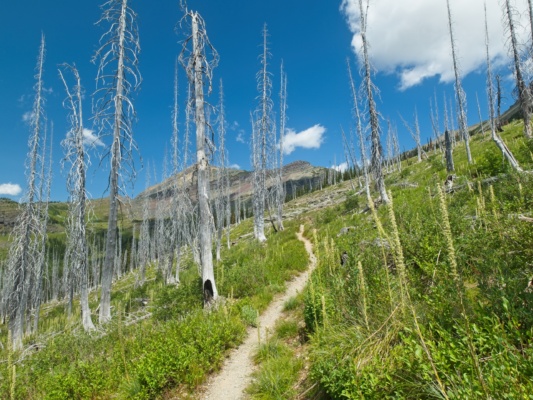
As we hike away from Cattle Queen Creek, the trail enters a burn area, passing through groves of silvery, barren skeleton trees. With most of the cloud cover gone and no shade to be had from the dead trees, it’s beginning to get uncomfortably hot. Thankfully, we soon reach some live trees a little further up the trail and take a long lunch break in the shade.
After lunch and a good, long rest, we shoulder our packs once more and continue up the trail. A short time later, we leave the woods and hike through more sparsely vegetated terrain. Naturally, this shadeless, warm afternoon hiking coincides with a long uphill climb of over a thousand feet… ah well, what can you do but keep walking?
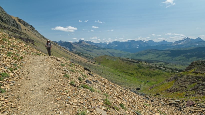
The uphill slope continues all the way to the continental divide. Prior to this point, all the water we encountered flows to the Pacific Ocean; past this point, all the water flows to the Hudson Bay! For such a dramatic distinction, the actual dividing line is pretty unimpressive. I mean, it’s easy to imagine water flowing to different coasts when the continental divide coincides with the razor-sharp ridges we’ve been hiking beside for the past few days, but the shallow saddle at which we now find ourselves is practically flat.
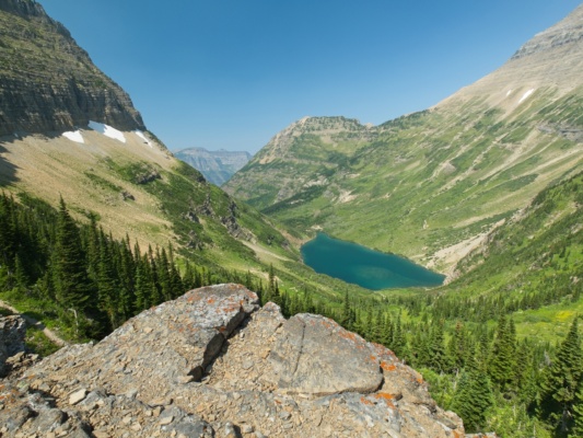
Just past the continental divide, a spur trail diverges from the Highline Trail and climbs up to a ridge overlooking Sue Lake. Steve, tired from the long, hot climb we’ve just completed, opts to sit and relax, so I head up to check out the view alone. However, since Steve is staying next to the trail, I leave my pack with him, making the climb much easier.
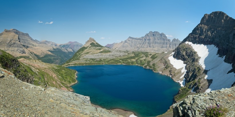
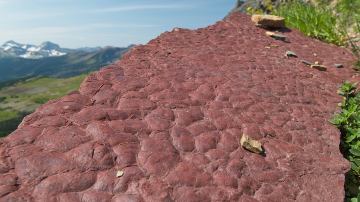
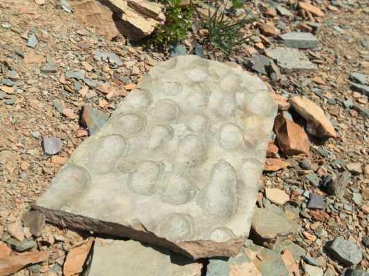
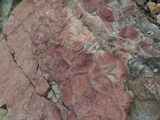
Fifteen minutes later, I arrive atop the ridge and snap a few photos of Sue Lake and the surrounding landscape, taking care to stay several steps back from the precipitous cliffs. Conscious that Steve is waiting below, I hurry back down the trail. A few interesting rocks catch my eye on the way down; clear evidence of the ancient seabed we learned about in a geology ranger program.
Back at the Highline Trail, we collect our things and begin the last leg of hiking for the day. Thankfully, it’s literally all downhill from here. We descend a long, sandy slope and then enter a massive, wildflower-filled meadow. Everyone we’ve met on the trail and in camp during the past day has told us that a mother grizzly bear and her cubs have been hanging out in this meadow, so we’re on high alert as we tread through the flowers. Unfortunately (or fortunately, depending on your perspective), we don’t spot any bears.
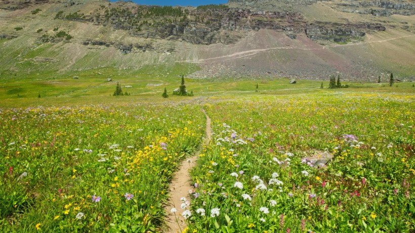
I’m surprised to find that most of the campsites at the Fifty Mountain campground are already occupied. It’s only 3 or 4 in the afternoon! Although our permit guarantees us a campsite, arriving “late” does mean that we get whichever campsite the other hikers did not choose. Thus, we find ourselves relegated to a shadeless spot surrounded by dead trees, twice as far from the privy and cooking area as the other campsites that are nestled into shaded nooks between living pine trees. Once we’ve stored our scented items and set up the tent, Steve lays down for a nap and I wander over to the shade of a nearby tree to jot down some notes about the day and stretch in the soft grass.
Later in the evening, we walk back over to the communal cooking area and make some dinner with many of the folks camping here tonight. Many of them are hiking the opposite direction as we are, heading toward Logan Pass, but one family — a mother, father, and son — are going the same direction as we are. In fact, while chatting with them we discover that we’ll be sharing several campsites along our respective itineraries in the next few days! Meeting interesting people from all over the world is one of my favorite parts about backpacking; despite our many differences, we’re all out in the wilderness to enjoy nature.
After dinner, Steve and I stroll up a hillside and try to find a nice spot to watch the sun set. We’re unable to find a spot with a clear view of the surrounding mountains (those pesky burned trees obscure the view in every direction), dashing my hopes of getting some nice sunset photos. But there’s more to this activity than getting good photos and we enjoy the sunset regardless. From a bumpy rock on the hillside, we scan the surrounding hills for wildlife; surely some animals will come out to graze at this late hour? If they do, we don’t spot them and go to bed without seeing anything larger than a chipmunk.
Over Stoney Indian Pass
4 Aug 2019 | 13.3 mi | +2900 / -4700 ft | View on Map
In contrast to our first night on the trail, the temperature drops quite a bit while we sleep and the morning is chilly and crisp. A hot breakfast, which we once again share with most of the other folks camping here, is very welcome! Once we hit the trail we enjoy some gently sloping uphill terrain with expansive views of the surrounding mountains.
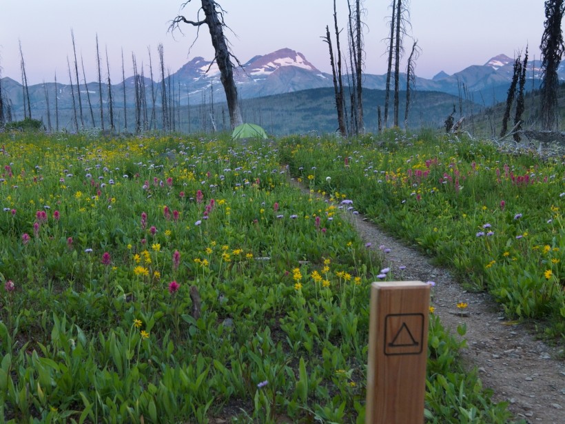
Unfortunately, the views don’t last. For the first time since we started this trip, we find ourselves descending far below the ridgeline. For a little while, we wind through airy pine forests but soon reach a long, straight descent through dense, dew-covered vegetation that completely obscures the path and drenches our pants. It’s not a particularly pleasant walk, but at least it’s downhill!
After descending about 2000 feet, we reach the Waterton Valley. Similar to the long downhill march we just completed, the trail here is also crowded by a myriad of plants, many as tall as I am! Steve and I take turns calling out “Hey there!” to alert any nearby bears to our presence; with all this dense brush, there’s no way we’ll see them until we’re within a few feet.
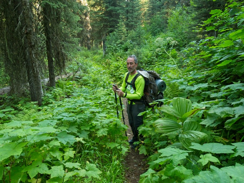
We continue on for a mile or two, climbing up and down small hills, continually surrounded by the towering plants. We pass a vacant patrol cabin and then begin an uphill climb on the Stoney Indian Pass Trail. Just a short distance up this new trail we begin seeing signs of recent bear activity: freshly dug dirt and scat. As the trail is still mostly obscured by the dense brush, we redouble our yelling and proceed cautiously. We meet a group of rangers on our way up; after checking our permit, they confirm that there’s a bear somewhere nearby!
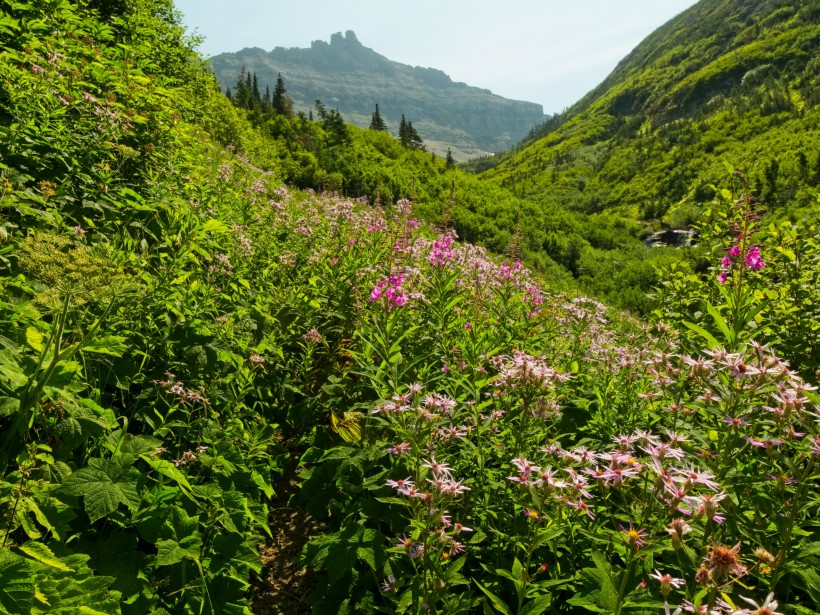
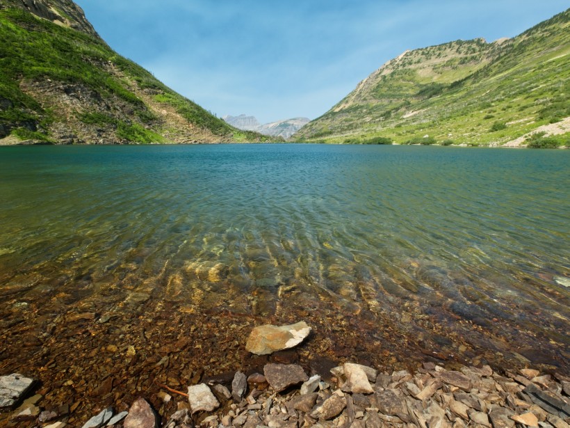
The next couple of hours pass slowly. Hiking uphill through dense brush while staying on high alert for bears is not a particularly enjoyable way to spend the morning. We eventually climb above the forest, which means better views but also less shade. By the time we reach Stoney Indian Lake, I’m feeling pretty grumpy. The lake cheers me up in a hurry though; its brilliant teal water and wildflower-lined shores drag a big old smile onto my face. Steve and I follow the path to the far side of the lake and then take a break to eat lunch, soak our feet in the cold water, and rest for a while.
After that much needed break, we begin climbing the switchbacks up to Stoney Indian Pass. Despite the steep grade, I find this hiking infinitely more enjoyable than what we completed this morning. The trail is no longer crowded with plants, which means we get to enjoy the breeze and views of the lake from above.
In what seems like no time at all, we reach the top of the pass. The distant peaks are obscured by haze and I can smell smoke, reminding me of my smoke-filled hikes in the Sierra Nevada and Teton mountains last fall. The air quality here is much better than during those trips, but the smoke makes me a bit nervous just the same. Closer to our lofty vantage point is an incredible valley; a dark green sea of pines covers the landscape, with a distant lake leading they eye toward a line of imposing cliffs. Eager to explore, we continue down the trail.
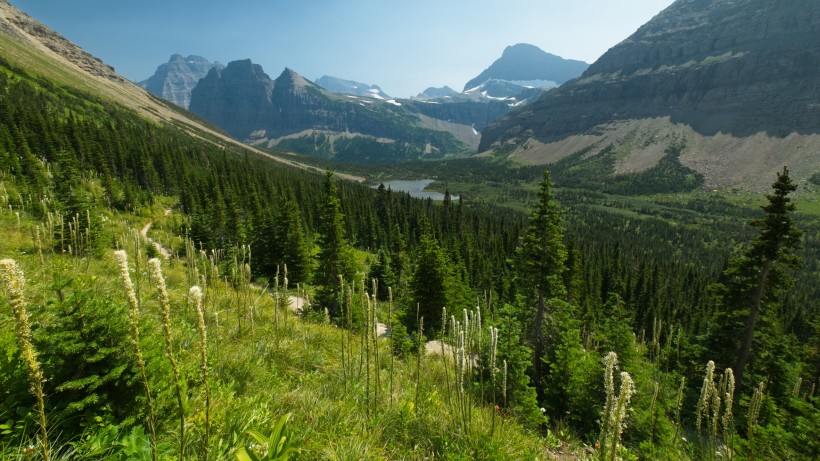
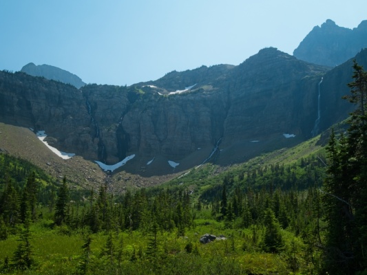
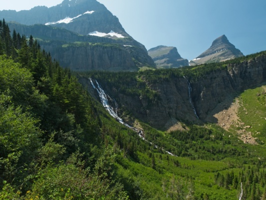
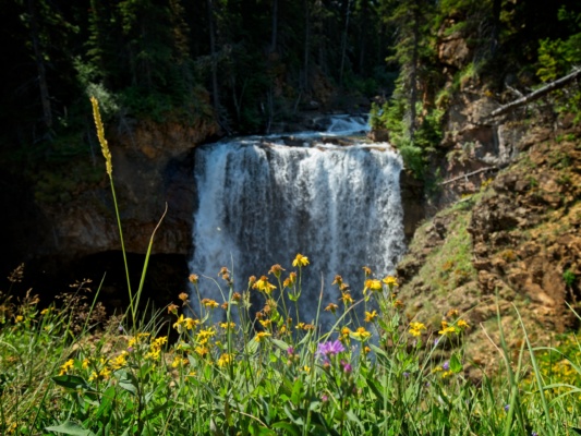
The next few hours make up for the painful ascent to Stony Indian Lake; we trek through meadows of wildflowers, past rushing creeks and seeping snow fields, all the while surrounded by gravity-defying walls of rock. In one horseshoe-shaped valley we gaze in awe at no fewer than 5 waterfalls that must each be over 100 feet tall. In any other location, just one of these waterfalls would draw thousands of tourists. Out here, they’re just another part of the landscape.
Further down the valley, the trail passes through a rushing creek. It’s too wide to hop over, so we pull off our shoes and socks and wade through. Just a hundred feet down the trail I notice a small trail that branches off from the main route. Peering through the trees, it looks like there might be a promising view, so Steve and I step off the trail to find out. It turns out to be a very worthwhile detour: the little path leads directly to the top of Paiota Falls!
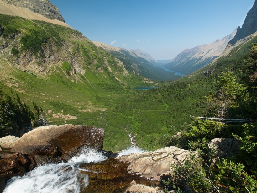
After gawking at (and photographing) the impressive vista, we clamber back up to the main trail and continue downhill. We get a good look at Paiota Falls as we descend into the next valley. A lone mountain goat is perched beside the waterfall and seems to be nervously watching us even though we’re much too far away to reach him.
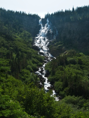
Below the waterfall, we follow the trail skirting Atsina Lake and then descend past the even more impressive Mokowanis Cascade. Seriously, how many epic waterfalls does this string of valleys have? By my count, we’re up to eight!
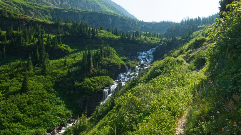
The scenery “calms down” a bit beyond the Mokowanis Cascade. Similar to the Waterton Valley trail that we hiked this morning, we again find ourselves walking through a quiet forest. However, these woods are less overgrown than those in Waterton Valley; the brush is only one or two feet tall rather than five or six feet… I enjoy strolling through the trees. The shade provides a nice respite from the hot afternoon sun, and it’s peaceful. Plus, the trail is pretty flat, which makes everything easier.
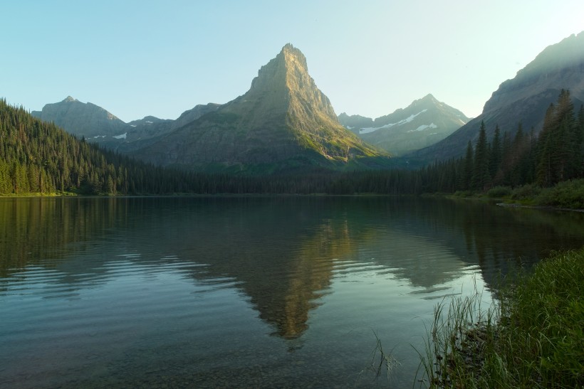
Steve and I walk for quite a while through the forest, eventually reaching our campsite at the head of Glenns Lake. We hang our food in the designated area and then claim the last remaining campsite. It’s a wonderful little spot right next to the lake with a small, private beach and some convenient fallen-log benches.
Since it’s a warm afternoon and there is plenty of daylight left, we decide to go for a swim. The water is cold, of course, but bearable. I wade out into the lake, carefully balancing on the slippery, mossy rocks that line the bottom, and spend a minute or two scrubbing off the dirt and sweat that has accumulated over the past several days. I don’t stay in for long, though – it’s still pretty chilly!
After a refreshing swim, we cook dinner and chat with some of the other campers. Some of them are locals and have visited many, many times. Steve asks them about Huckleberries, a local novelty, and one man explains what the berries look like. Despite his thorough description and our careful examination of many berries, we don’t spot any for the rest of the trip.
We spend the rest of the evening relaxing in camp, soaking in the sights and sounds of the lake. A group of loons calls out to each other, filling the area with their haunting cries. Later in the evening, the loons drift by our campsite on their way to the lower end of the lake. Watching the birds is a peaceful way to end the day.
Between Two Lakes
5 Aug 2019 | 12.5 mi | +1400 / -1100 ft | View on Map
In the morning I wake up to loon calls echoing across the lake, a wonderfully new experience for me! It’s another chilly one, but a hot bowl of oatmeal warms me right up. Steve and I are both hoping to see some moose today; many hikers have reported that there are several moose hanging out near the foot of Glenns Lake, just a few miles along the trail we’ll be hiking today. We keep our eyes peeled and even spend ten or fifteen minutes wandering around the campground at the foot of the lake, but, alas, don’t see any moose.
Disappointed, we continue down the trail toward Cosley Lake. The trail passes within a few feet of the shore; only a single row of trees separates us from the lake. As we walk past, I hear something wading through the water and it sounds big! I hurry to a spot where there is a gap in the trees and look back toward the head of the lake to see a bull moose! He’s a bit skittish for an animal several times our size; as soon as he sees us, he runs further up the shore.
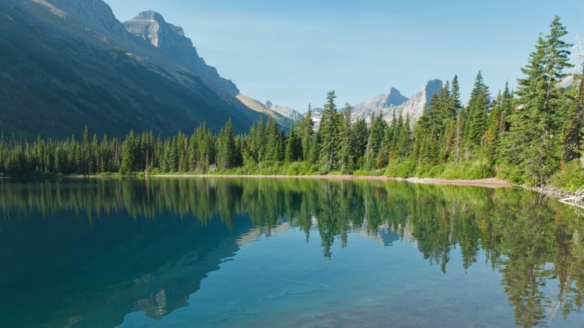
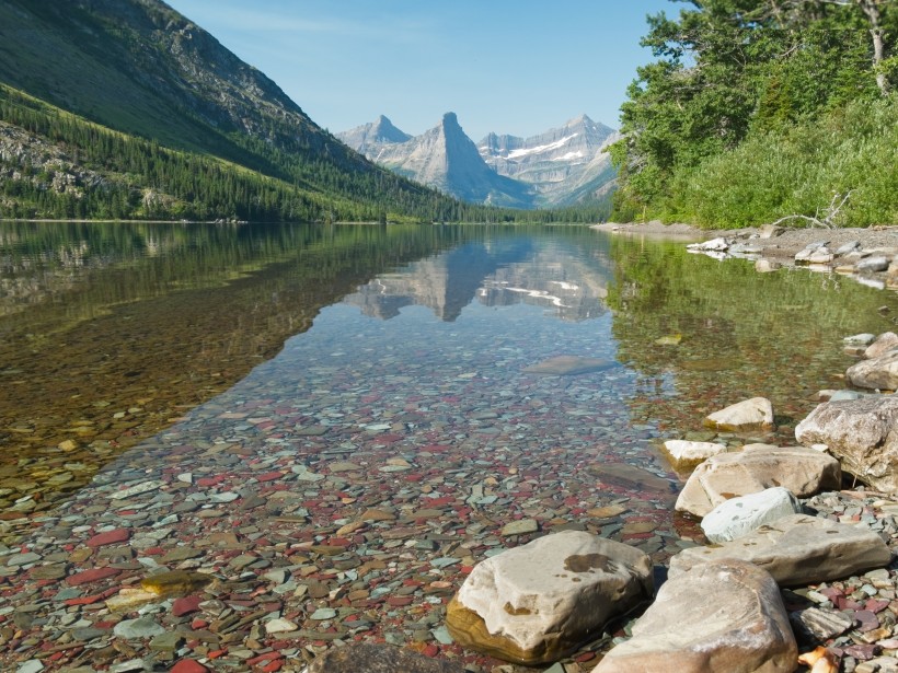
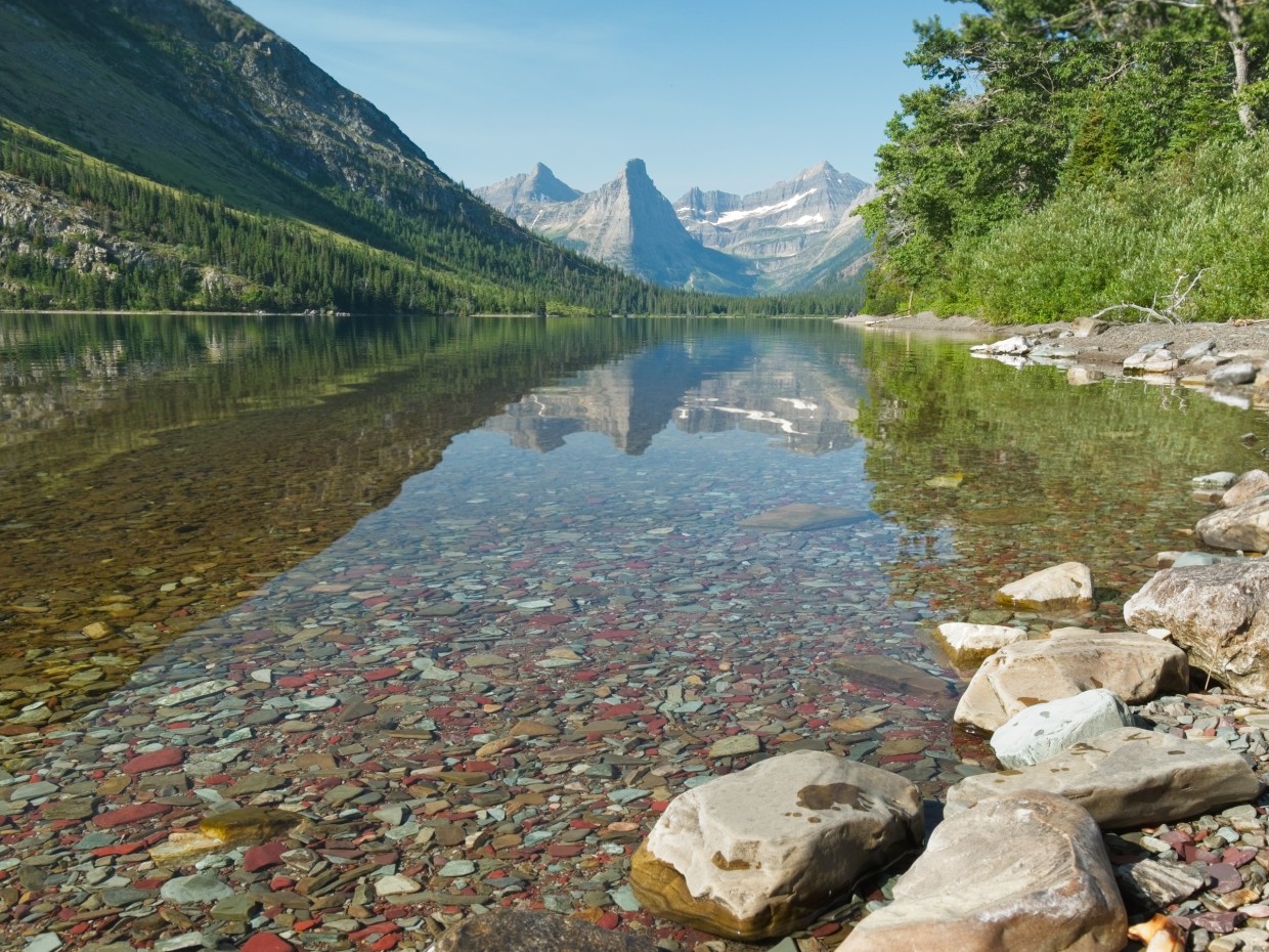
Happy to have seen a moose in the wild, we resume hiking. Near a campsite about midway along Cosley Lake, we pause for a morning snack and to refill our water containers. As it turns out, Cosley Lake is perhaps the most beautiful lake we’ve visited so far. The glassy water reflects Pyramid peak while also providing a crystal clear window to view the brightly colored rocks that cover the lakebed.
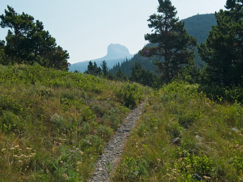
After a brief rest, we scramble back up to the trail and continue on our way. For a while, the butte-like silhouette of Chief Mountain (originally named Nínaiistáko by the native Blackfoot people) is visible. It’s kind of an incredible piece of geology: the stone that makes up the large block-shaped peak is some 400-500 million years older than the rock beneath it!
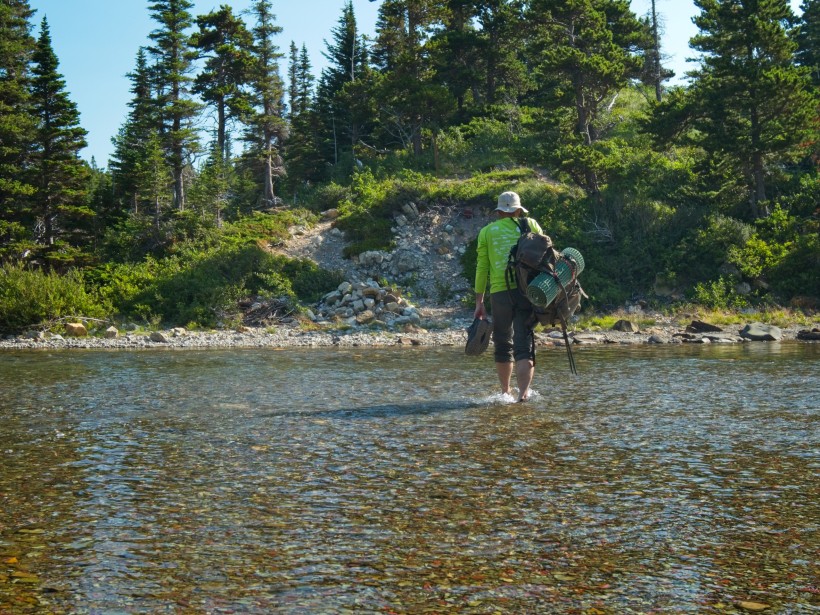
The trail returns to the banks of Cosley Lake right at the outlet river. It’s an incredibly shallow river — only a foot or two deep — but very wide. As there is no bridge or long string of rocks to hop on, we once again take off our shoes, roll up our pants, and wade on through to the opposite shore. A cable strung across the wide waterway serves as a hand rail, but it’s hardly necessary for a safe ford today. From the far bank, we get one last spectacular view of the mirror-like Cosley Lake.
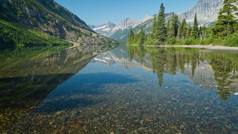
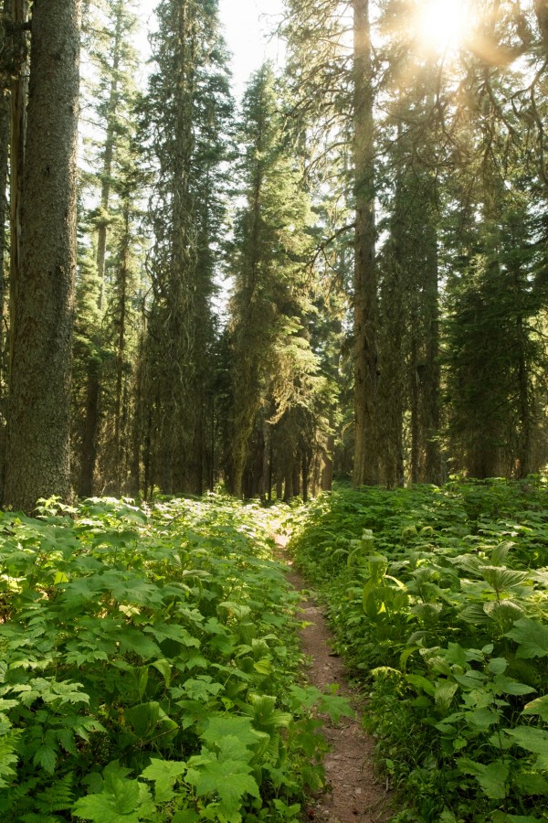
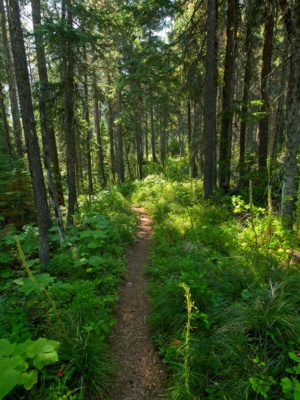
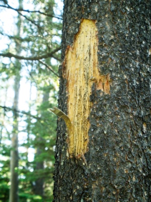
Our path now follows the Ptarmigan Trail, which quickly plunges into a lush, green forest, leaving the airy lake-side meadows behind. Despite the lack of grandiose scenery, walking through the cool, quiet woods is very pleasant. We occasionally pass signs of bear activity, like freshly-dug earth or claw marks on a tree trunk, but don’t spot any bears. Our diligence in making noise waxes and wanes with the evidence of bears. On the one hand, I have no desire to surprise a bear; on the other hand, yelling into the woods every 30 seconds is tiring and it would be kind of cool to see one…
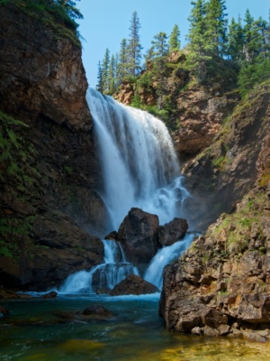
After strolling through the woods for some time we reach a spur trail labeled “Dawn Mist Falls.” We’re not in a hurry, so we saunter on down to see what we can see. A short stroll later, we round a corner and arrive on the bank of the Belly River less than a hundred feet from a roaring waterfall. It’s an impressive sight; certainly this is the closest we’ve been to a major waterfall this trip! We sit and watch the falls for a bit and I make good use of the tripod I’ve been lugging around to snap some photos. The mist drifting down the river feels nice, although it does make the photography a bit more difficult.
Once we’ve had our fill of the waterfall views, we return to the Ptarmigan Trail and head south once more. Lunchtime is approaching, but there aren’t many good places to sit and eat in the forest. Elizabeth Lake is only a mile or so ahead, so we push through the hunger and continue walking. After what feels like a very long time, we reach the lake. We make a beeline for the shore and plop ourselves down on the rocky beach; this will do just fine as a lunch spot! It’s a bit breezy, but the warm sun offsets the chilliness of the wind, making the beach a perfectly comfortable spot to relax.
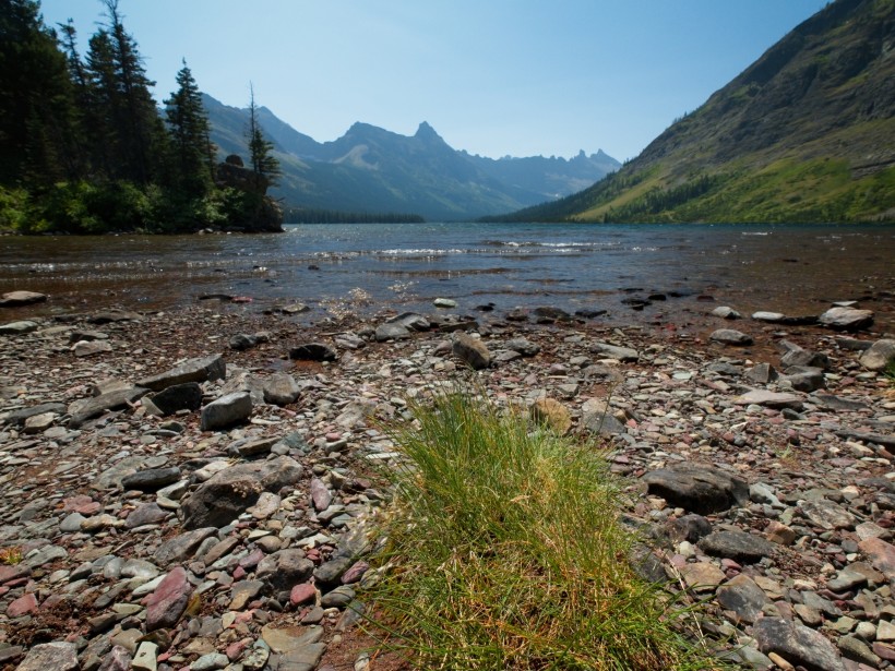
After eating and taking a brief siesta, we pack up and head out. Our destination today is Helen Lake, a four-mile walk from here. Leaving the busy Ptarmigan Trail for the Helen Lake Trail, we wind through the long grass and pines that line the foot of Elizabeth Lake. About a thousand butterflies flutter through the meadows, collecting pollen and doing whatever it is butterflies spend their day doing.
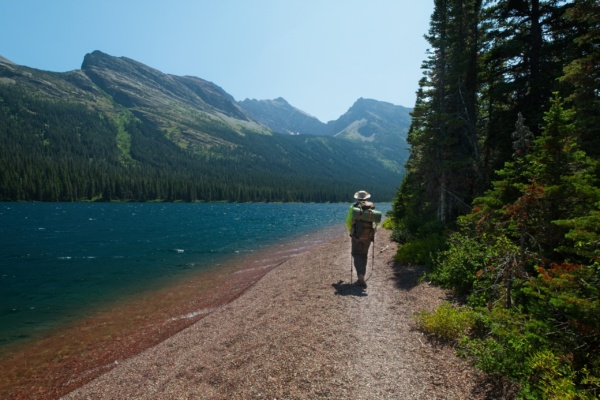
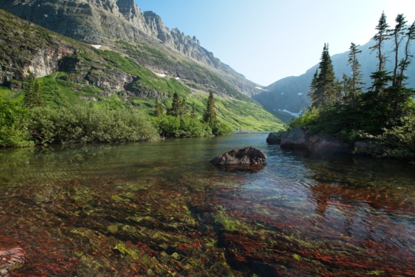
The Helen Lake Trail climbs up and down a few steep hillsides, altering between lake-side beaches and airy hilltops. After a few of these rollercoasters, the path levels out and follows a red pebble beach for a few hundred yards. The loose gravels is a little tough to walk through, but the novelty of the route is more than enough to compensate for that slight discomfort.
Beyond the beach walk, the trail turns inland and winds through the woods. We pass the campground at the head of Elizabeth Lake and head deeper into the backcountry. It’s a quiet, peaceful walk through the trees, and the terrain is blissfully flat. We walk past a winding river lined with rushes, the perfect habitat for moose, but don’t see any animals.
Our animal-sighting luck changes a little further down the trail. I round a corner and stop dead in my tracks: A mother grizzly bear and three cubs are drinking from the creek a few dozen yards away from the trail! Unsure if the bears are aware of our presence, we call out to them and wave our arms from the trail. All four bears turn and wander slowly up the hill, maintaining a consistent distance between our two parties. It’s a bit tough to see the bears through the long grass, but we get a good look at the mother when she pauses halfway up the hill — directly in front of us — and stands on her hind legs to stare at us. Steve and I slowly back up, talking to her the whole time. I’m tempted to pull out my camera for a photo, but I figure it’s safer to keep my hands on the can of bear spray on my belt. A few seconds later, the mamma bear returns to all fours and heads up the hill after her cubs. We wait for several minutes before venturing down the trail toward where the bears trod. Moving slowly, we make lots of noise all the way across the grassy meadow. Once we’re sure that we’ve left the bears behind, we resume walking at a normal pace, but continue making lots of noise. I’m excited that we saw some bears in the wild, although I’m not really eager to see any more at that close of a distance. It is reassuring to know that the bears are keen to avoid us, and interacting with them out in the backcountry like this dispels some of the irrational fears that have built up in my head.
The trail continues to wind through forests and meadows, over several creeks, and eventually begins climbing uphill toward Helen Lake. While walking through a picturesque meadow surrounded by pines, I hear some sort of large animal run away; it sounds like it has hooves, so my guess is that we just interrupted a moose! Hiking all this distance away from the main trail has its perks; there seems to be a lot of wildlife out here!
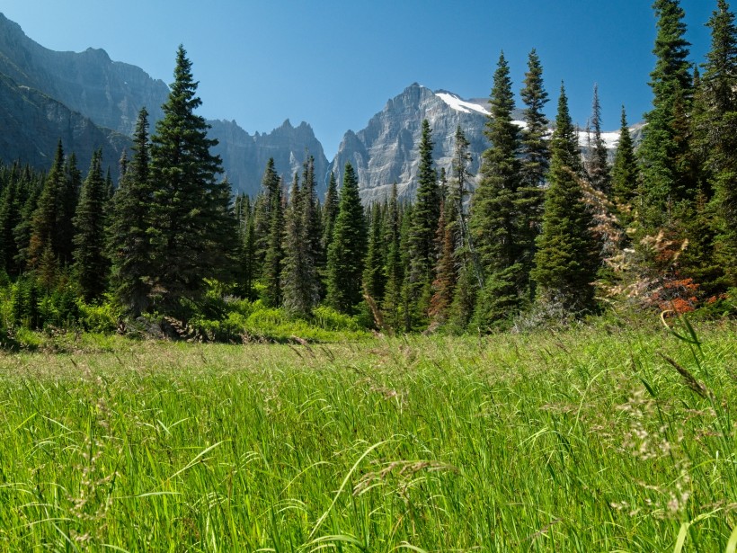
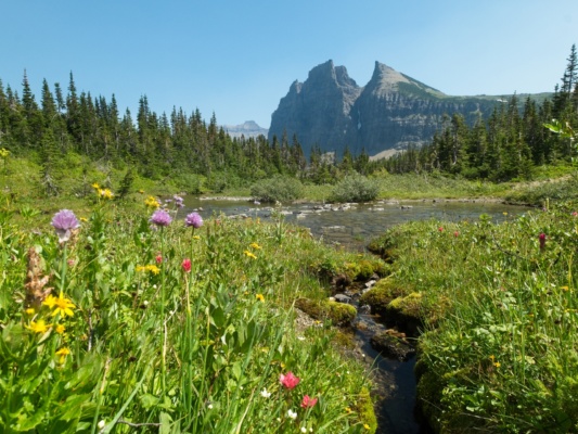
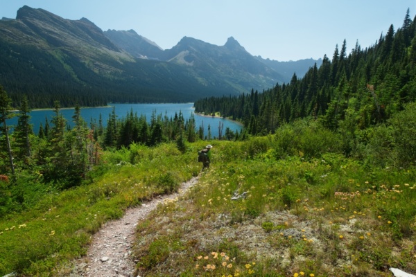
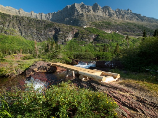
When we were picking up our permit a few days ago, one of the rangers told us that Helen Lake is her favorite spot in the entire park. As we arrive at the lake, I certainly can’t disagree that it’s a beautiful location. Wildflowers line the trail, and the outlet creek flows over brilliantly red rocks interspersed with lime-green moss. A brand new bridge (judging by the amount of sawdust) spans the creek and leads us to the campsite, where we unpack and set up the tent.
Only a few minutes after we arrive, Henry and Eli (the two Bostonians we met a few days ago) walk into camp. We chat for a few minutes and then Steve and I head over to the lake. Like yesterday, the afternoon is warm and we’ve got lots of daylight left so we go for a swim. Also like yesterday, the water is very cold.
Later in the evening, we sit on the shore and watch the sun set. Henry and Eli packed in binoculars and are constantly scanning the surrounding mountains for wildlife; they spot some sort of large animal at the far end of the lake, but it’s so far away that they can’t tell what it is. As darkness falls, we head back to our tents and turn in.



Dad 21 November 2019
It was so great to see all the flowers and crystal clear water again 🙂 Thank you for the beautiful pictures and another great write-up Andrew!