This weekend’s adventure takes me and three friends to Mount San Jacinto, one of the tallest peaks in Southern California. We followed the route suggested by Modern Hiker, which forms a 19-mile loop that includes the summit of San Jacinto.
Trip Planning
Tom Harrison prints an excellent topographical map of this area. Permits are required to enter both the State Park and National Forest sections of the San Jacinto Wilderness. Additionally, camping at any of the state park campgrounds (Strawberry Junction, Little Round Valley, Round Valley, or Tamarack Valley) requires a permit. Walk-up permits are available at the Long Valley Ranger Station near Mountain Station or at the state park headquarters in Idyllwild. However, the San Jacinto summit is a popular destination, so it is wise to reserve one; reservations are available up to 8 weeks ahead of time. Detailed permit application instructions are available online (PDF).
Deer Springs Trail to Little Round Valley
July 16, 2016 | 7.9 mi | +4,180′
We all meet up this morning at 7:00 AM. The drive to San Jacinto is about 2 hours, and our early departure time will hopefully get us to the trail before it becomes terribly hot. The drive itself is uneventful, and we arrive in the charming little town of Idyllwild sometime around 9:00. After filling up water bottles at the nearby nature center, we begin our trip on Deer Springs Trail. We meet (and pass :D) many other hikers on the trail. Most are day hiking, but we also meet a few other backpackers. We make really good time for the first several hours: by 11:30, we’ve already climbed 2,420 feet and walked 4.1 miles. We stop for lunch at Strawberry Junction and lounge in the shade under some pine trees.
The San Jacinto Wilderness is much hotter and drier than the Sierras, and we begin to slow down after our lunch break. This section of the trail coincides with the Pacific Crest Trail, but thru-hikers attempting that feat have long since traveled north to cooler climates so we don’t meet any.
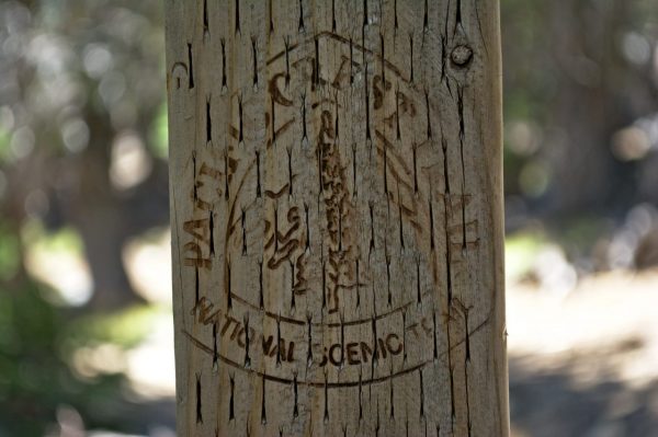
After several more miles, we reach a cold, gushing spring and stop to rest and replenish our water supplies. This spring is only half a mile from Little Round Valley, and we won’t encounter another water source until after we summit tomorrow morning. After a refreshing foot soak and some snacks, we begin the final push to our camp for the night. It’s a hot, steep climb, and I’m very relieved to reach Little Round Valley. It’s a surprisingly developed camp: there are distinct campsites with carved wooden signs at each. There’s even a pit latrine, but a quick glance inside reveals that it has been absolutely trashed: there are food wrappers littering the floor, dozens of flies buzzing around inside, and it reeks… I’m normally a pretty calm person, especially when out backpacking, but I get angry when I find trash on the trail. People toss empty water bottles into the bushes, leave food wrappers on the ground (or in the latrine…), and even leave their toilet paper on the ground or behind rocks. It is the epitome of laziness to hike up a mountain with a bottle full of liquid and then not carry the nearly weightless bottle out with you. Same goes for food wrappers: they weigh practically nothing! Just stuff them in a pocket! Nobody has the right to litter; if you can’t be responsible for your own waste, you don’t deserve to visit these beautiful places.
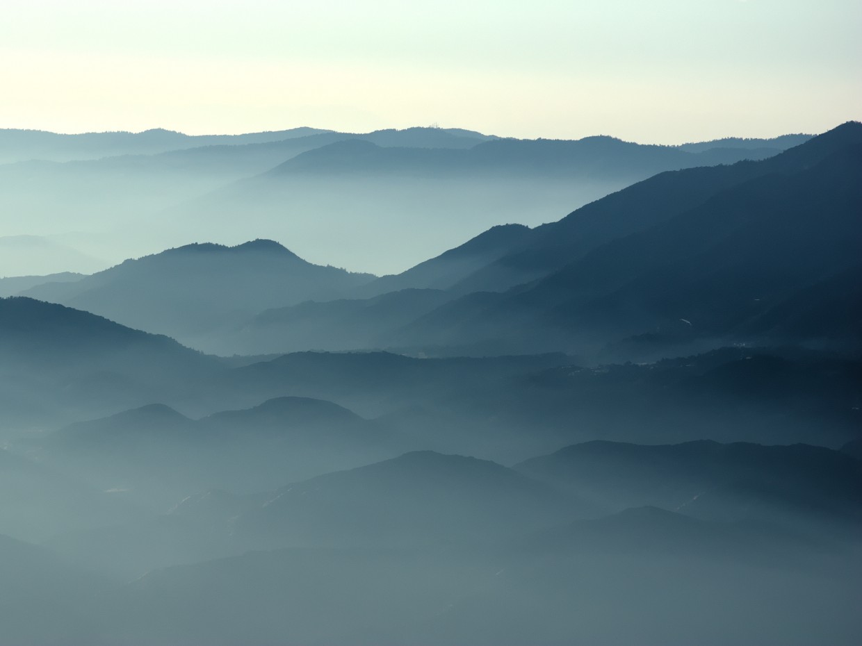
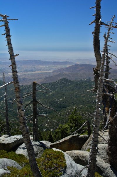
We choose a campsite that promises a view; when we get to the spot, the view isn’t as spectacular as we’d hoped, but there are some large rocks on a nearby ridge that look like they’ll offer a spectacular view. After a little rest, we grab our dinners and bushwhack over to the rocks to see what we can see. It is much windier atop the boulders on the hillside, even a little chilly. The view, however, is gorgeous. Mountains, foothills, and valleys stretch on for miles, the distant ones obscured by haze. I should know by now that atmospheric haze (smog, fog, smoke) is a constant part of life in Southern California, but I’m always impressed by the abstract images they create. I was really hoping to see a cloud inversion (i.e., be above a layer of clouds), but my wish was not granted… next time, I suppose.
To save weight, I didn’t bring a stove with me on this trip and eat some cold couscous with tuna and veggies, my go-to backpacking meal. It doesn’t particularly matter that it’s cold, it’s still delicious after a day of hiking! I’ve vowed to stay up on the rocks and watch the sunset; Kayla and Susie head back to camp before that point to escape the cold, stiff breeze, but Theresa stays up with me. It’s a strange sensation to be cold while overlooking desert valleys that are still warm from the afternoon sun… a little refreshing too, to be cold in the middle of summer. That being said, as soon as the sun sets, Theresa and I hurry down from the ridge, back to camp where we are sheltered from the wind.
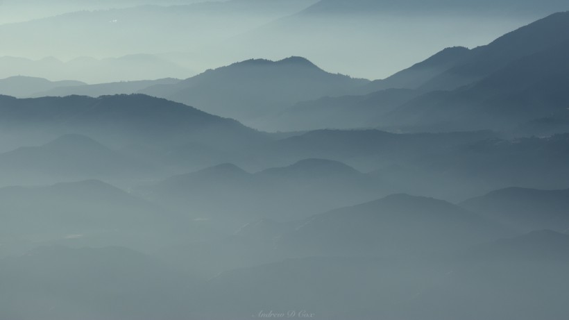
The foothills of Mt San Jacinto lie obscured in haze. This image is available for purchase from our shop.
I take a few photos of the trees, rocks, and city far below us as the sun sets in a tremendous red glow, and then head to bed.
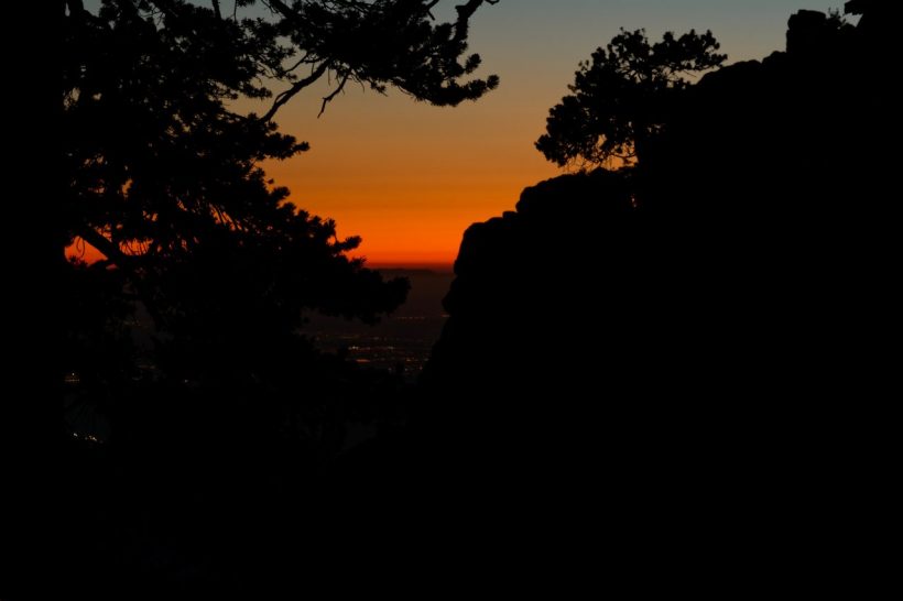
Dusk from our campsite at Little Round Valley; a few city lights are beginning to come on in the valley below.
To The Summit! And Back Again
July 17, 2016 | 12.7 mi | +1,000′ / -5,180′
I wake up at 6:00 and take a short half-mile stroll down to the water source we stopped at yesterday to refill my bottles. The air is cool, and the water is even colder – very refreshing! I walk back to camp, eat some breakfast, and then spend a while catching up on my trail journal. I have a small red notebook that I keep in my backpack, and I keep a record of all my backpacking trips in it. Journaling can be very cathartic, and it gives me something to do in the mornings or evenings when I’m waiting for people or am too exhausted to keep walking. I sharpen an old wooden pencil with my pocket knife and try to write legibly in the little book.
My friends wake up a little while later; we break camp and prepare to summit Mount San Jacinto. Since this route is a loop, we don’t have the luxury of leaving most of our gear behind. The trail is steep and climbs over 1000 feet in 1.6 miles. Somehow, it’s already getting hot; the high temperature for today must be much warmer than yesterday…
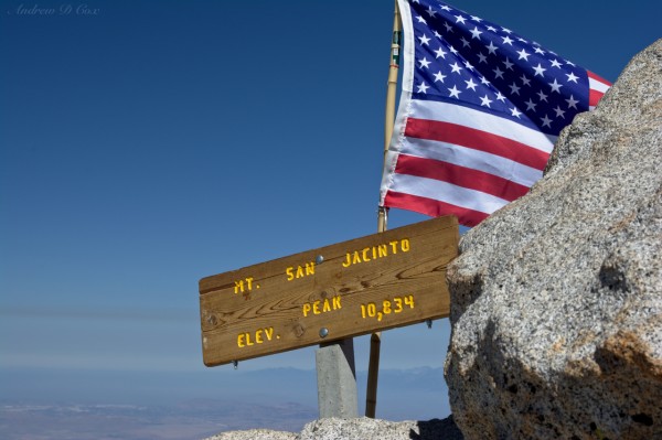
After quite a bit of heavy breathing, we reach the summit and throw down our backpacks. It’s been several hours since I ate breakfast and I haven’t had any snacks. I can tell my blood sugar is low, because I’m much dizzier than I should be at 10,800 feet. I down a Clif Bar and soon feel steadier. Like many of the major summits I’ve visited this summer, the peak of San Jacinto is strewn with large granite boulders. There’s a nice sign with the elevation (10,834′) on it, and we pose nearby while a fellow hiker takes our picture.
We relax on top of San Jacinto for a while, eat some snacks, and then head back down the mountain. Our route for the rest of the day loops around the other side of the mountain before eventually rejoining the Deer Springs Trail.
My research before the trip indicated that Wellman Cienega provides a reliable water source, and I’m banking on that being true as I’m nearly out of water. Unfortunately, despite the incredible amount of green foliage, there is no running water to be had. Crap. Luckily, Theresa has monster-sized water bottles, so we’re not going to go completely thirsty. There isn’t enough to keep everyone as hydrated as we should be, but we’ll survive. It’s all downhill anyhow, and we’re making good time on the descent.
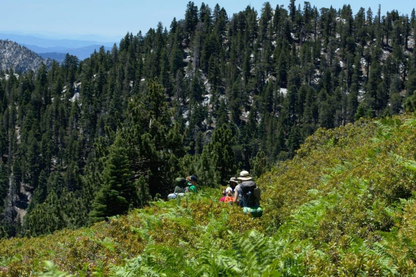
The trail through Wellman Cienega is impossible to see amidst the foliage. Despite the greenery, there is no running water to be found… :/
The temperature continues to rise as we descend. We stop at another trail junction with the PCT and eat some snacks. I bought a new hiking shirt last week – it’s tan with several big pockets and a nice ventilated back. That shirt, combined with my hiking shoes, tan pants, and wide-brimmed hat makes me look just like a forest ranger. This is relevant because, just before I sit down to relax at the trail junction, two women hike up to us and pointedly inform me that their hiking companion, Joe, is a little ways ahead of them and has their permit. I keep a straight face, thank them for letting me know, and then laugh with my friends once the women have hiked on.
The last few hours of the hike are trying. The trail between Wellman Cienega and Strawberry Junction is beautiful with great views and huge pine trees, but it is so. darn. hot! The heat, combined with a self-imposed water ration, motivates me to hike quite quickly down the mountain. I hike the last several miles with the singular goal of reaching the water bottles stashed in the car. I’m the first to reach the trailhead, but Theresa, Kayla, and Susie aren’t far behind. Before leaving Idyllwild, we drink our fill at the nature center and then stop for some snacks and ice cream at a local grocery store. As it’s become tradition, we also stop and eat some delicious Mexican food on the way home. To cap off the day, we order a plate of churros and enjoy their fried, sugary goodness.
