To read about earlier or later segments of my John Muir Trail thru-hike, use the navigation links below.
For trip planning information, please refer to the JMT Alternate Beginning post.
Return to the High Country
July 31, 2017 | 16.3 mi | +4100 ft / -1500 ft | View On Map
Dad caught the bus to Reno this morning to go home, and I, with my replenished food stores, caught the bus back to Red’s Meadow. I enjoyed chatting with a big group of other JMT hikers that were also on their way to Red’s after a zero/nero day in town. A large group of grade school-aged kids with big packs got on the bus at the Agnew Meadows trailhead. One of them sat next to me, so I asked him about their trip and learned that they were out backpacking for 10 days and hiked about 50 miles! How cool is that?! I don’t think any of them were any more than 10 or 11 years old.
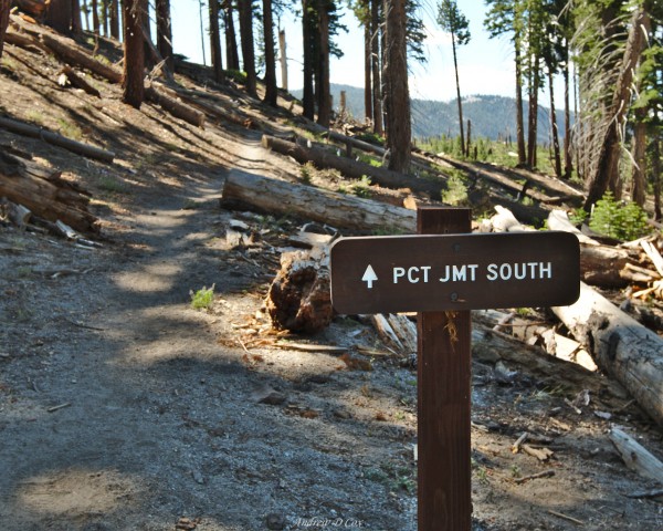
Time flies when you’re talking to interesting people, and we soon arrived at Red’s Meadow. After filling my water bottles I began down the trail and am now at an exciting spot: a PCT/JMT South signpost! During the past five days, Dad and I trekked from Glacier Point in Yosemite National Park to Red’s Meadow via an alternate route that avoided the too-popular-to-get permits for Donohue Pass. So, even though I’ve already walked over 60 miles, this is the first time on this trip I’ll be cruising down the actual John Muir Trail!
After a commemorative photo of the sign, I begin walking down the famous trail. Because I spent a few hours on buses this morning, it’s already 11:00 and the sun is high in the sky. The trail south of Red’s Meadow winds through a mile or two of shadeless, sandy countryside. It looks like this area used to be more densely forested but is still recovering from a wildfire. I apply a generous amount of sunscreen, pull my wide-brimmed hat a little lower, and pick up my pace to expedite my return to the shade.
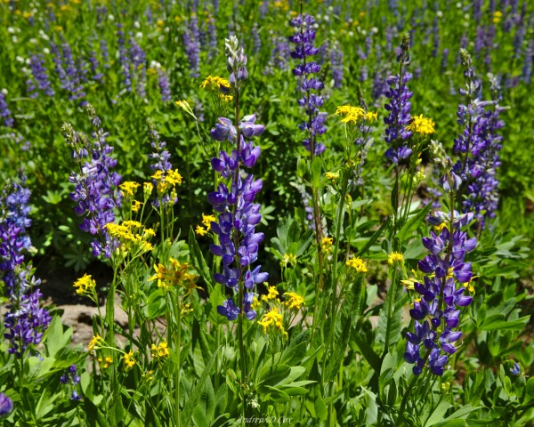
Despite the heat, walking through this sunny landscape is really quite enjoyable. I leap over several small streams gurgling down between folds in the hillsides and stroll past large swaths of wildflowers. Although I don’t realize it at the time, there are patches of wild onions growing beside the trail, easily recognized by their bright pink blossoms waving in the breeze. Next time, I’m going to integrate them into my food!
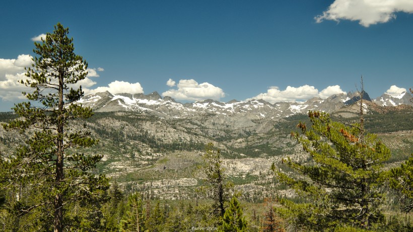
Before long, I’m back under denser foliage and am shaded from the afternoon heat. The trail winds up the hillside via gentle switchbacks and I enjoy a few sweeping views of the Ritter Range. It’s strange to think that just a few days ago I was admiring these same peaks miles and miles to the west. The mountains look so far away but aren’t more than a day’s walk from here.
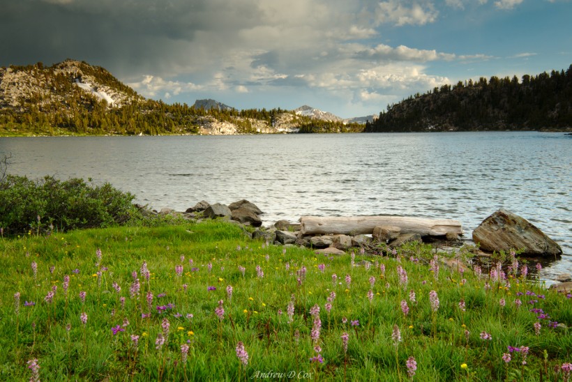
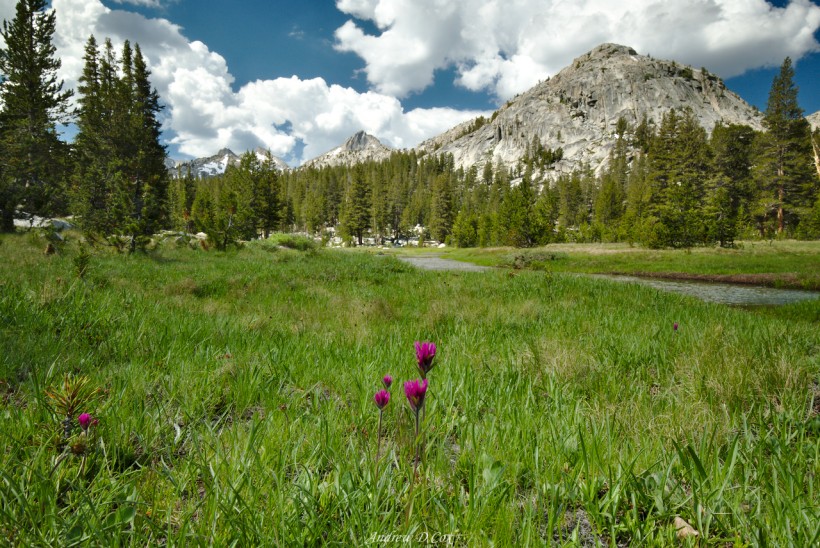
As I continue along the path, shade comes and goes. The earth is still very dry and sandy; I continuously wear sunglasses to shield my eyes from the light reflecting off the bright, rocky soil. Interspersed with this desert landscape, however, are stands of dusty pine trees and occasional long, snaking, wildflower-filled meadows fed by small, gurgling streams. I stop once or twice to admire their beauty and take a few snapshots.
After a quick lunch break on the banks of Deer Creek, I begin a long uphill climb parallel to the Mammoth Crest. Thankfully, my pack is light (I’m resupplying in three days!), the slope is gentle, and I have no problem flying up the trail. Once again above 10,000 feet, I enjoy the slightly thinner (and cooler) air and settle into a steady hiking rhythm.
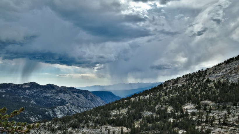
Clouds gather as the day goes on and I spot sheets of rain descending from the clouds on distant peaks. Other than a few water droplets on my head and arms, I stay dry until I reach the Duck Lake outlet stream. The rain intensifies for a while and I take shelter in a stand of pines while I purify water and much on a Cliff Builder Bar. Like a typical western rain storm, the precipitation only lasts 10-15 minutes and soon I’m on my way again.
I walk south on the trail, which winds along the ridge line, continuously exposed and open. I’m wary of the potential for afternoon thunderstorms, but I haven’t heard any thunder yet and the clouds are not terribly dark. My goal for the afternoon is to reach Lake Virginia. Word on the trail is that the campsites there are beautiful (even more so than those at Purple Lake), and, as a photographer, I’m very interested in staying at the “best” spots for photographs. Of course, there’s a strong argument to be made that one can find beautiful compositions literally anywhere in these mountains. But… I’m gunning for Lake Virginia regardless.
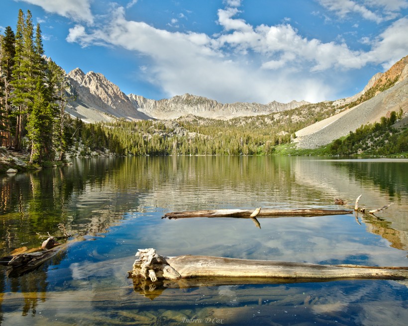
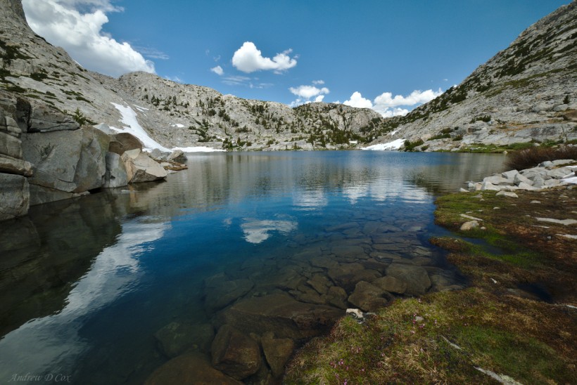
After winding around the ridge for a few miles, the path descends several hundred feet to Purple Lake. I’m a bit disgruntled to lose all that hard-fought altitude, but… that’s just how life goes on the trail! Purple Lake is incredibly beautiful, particularly when viewed from the outlet stream. Tired from the day’s exertions, I find a nice granite ledge to sit on and munch on trail mix while I rest. A few hikers pass below me on the trail, hurrying on to their final destinations. It’s 4:00 and many people have already set up camp; just a few more miles to go and then I’ll be glad to do the same.
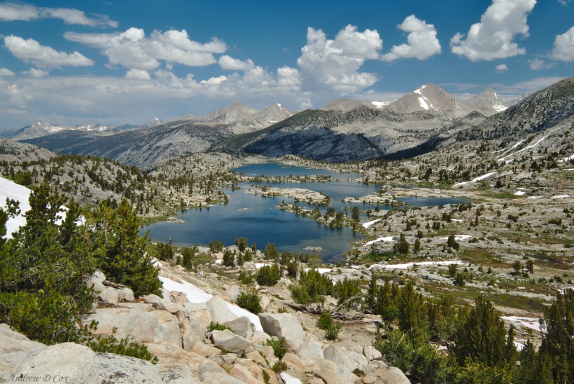
I catch a strong second wind while ascending the switchbacks past Purple Lake and race upward. Exhilarated by the sudden burst of strength, I thoroughly enjoy the climb up to a saddle between two rocky peaks. Up here at 10,500 feet, the ecology has shifted back to something like the sub-alpine zone with scrubby trees, spongy turf, and sandy soil. As I crest the saddle, I catch a glimpse of the shimmering waters of Lake Virginia; those rumors were right: it is more beautiful than Purple Lake.
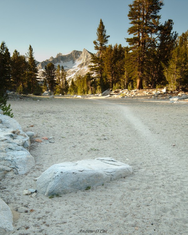
Eager to reach the lake and find an awesome campsite, I hurry down the sandy trail until I arrive at the lake. My spirits fall when I notice a dozen tents pitched on the soft, fragile grass right next to the lake shore. There are so many things wrong with this picture, some biased more by my personal preferences than others. I’m not mentally prepared to camp in the wilderness near so many people. I understand that this is a popular trail, but… wow!
I can adjust to the popularity of this lake, but I’m a little angry at the blatant disregard for the ethics of leave no trace. There are large swaths of sandy ground a hundred yards away from the lake, perfect sites to pitch all those tents without suffocating the grass! Yet all of these campers have chosen to spend the night trampling the meadow immediately next to the water. I have half a mind to go tell them off, but I hate confrontations almost as much as the next person and instead lumber off and pitch my tent on a patch of sand away from the lakeshore.
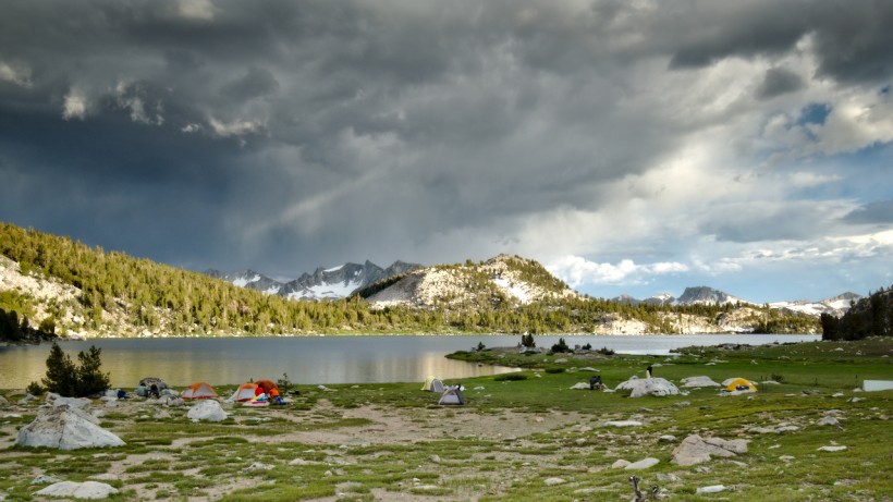
With my tent set up, I heat my very unconventional backpacking dinner – pasta from an Italian restaurant (left overs) mixed with a peanut butter packet – on my camp stove and settle down onto the sandy ground to eat. With my back against a boulder and my legs stretched out in front of me, I hungrily spoon the pasta and peanut butter from the ziplock bag into my mouth and watch the sun play across the lake and distant mountains. Far to the south, lightning lances down from the clouds, striking some far away mountain. The sky above me is still a patchwork of clouds and blue sky; little risk of a storm here, thankfully!
After eating, I brush my teeth and pack all my scented items – food, sunscreen, bug repellant, chapstick, etc. – into the bear canister and stash it a little ways from my tent. With camp set up and dinner over, it’s time for some photography! I wander around the shores of the lake and take a few pictures. Several other campers are similarly engaged; I nod to them when they look my way but otherwise focus on enjoying the scenery.
One of the side benefits of practicing photography is that you start to notice things that you might otherwise miss: a tiny flower nestled between rocks, dew droplets on pine needles, the perfect alignment of trees, etc. Even when I don’t capture a particularly nice photo, I enjoy the practice of really seeing and exploring an area.
Due to my late start this morning and a long day of hiking, it isn’t long before the sun dips behind the mountains above Lake Virginia and the landscape is thrown into shadow. The shadow creeps up the peaks on the opposite side of the lake, and soon only distant mountains are illuminated. I pick my way from rock to rock across the meadows, return to my tent, and crawl inside. I spend a little time reviewing the map and a list of significant river crossings that I’ll complete tomorrow. I’m worried about both the Silver Creek ford (basically the bottom of a waterfall) and the Mono Creek crossing. If I make good time, I can hit them earlier in the day and minimize the risk of arriving when the flow is stronger later in the day. I’m sure I’ll figure something out when I get there. With that plan in place, I put away the map, plug my camera into the battery pack, and drift off to sleep.
Over the Silver Divide
August 1, 2017 | 18.7 mi | +4400 ft / -5300 ft | View On Map
I check the map again while munching on delicious overnight oatmeal. Silver Pass, said to be completely covered in snow, is about 6.5 miles from here. The potentially dangerous river crossings are 8 and 9.9 miles away, respectively. I’m going to have to walk fairly quickly to cover that distance before late afternoon!
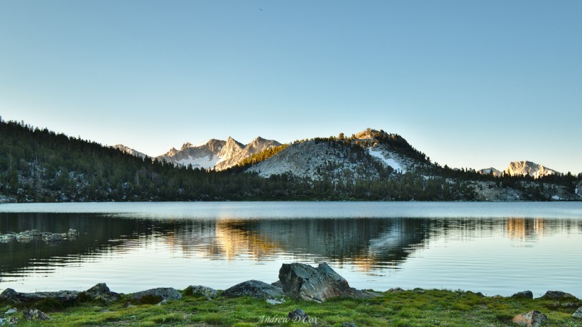
I’m on the trail, making miles, by 7:00. The sense of urgency I feel to reach the pass and creek crossings early is in direct conflict with my desire to stop and photograph Virginia Lake from every single angle as I walk past. The water is smooth as glass, and the sun-tipped mountains beyond are breathtaking.
Speaking of breathtaking, I have to wade through some extremely cold water to cross a small channel between the upper and lower sections of the lake. There’s no way to avoid it without circumnavigating the lake, which would take quite some time. No, it’s better to endure a few minutes of numb feet. The ford is split into two sections, so I just hike the whole stretch barefoot; the increased amount of muscle activity in my feet as they adapt to the uneven surface warms them up between the two crossings and then again after the second, and final, crossing.
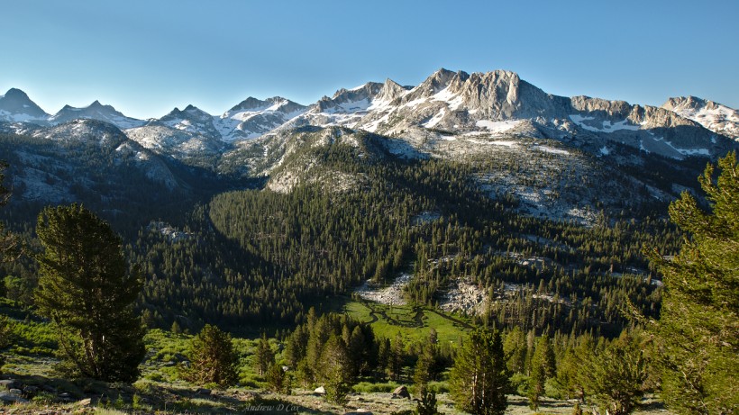
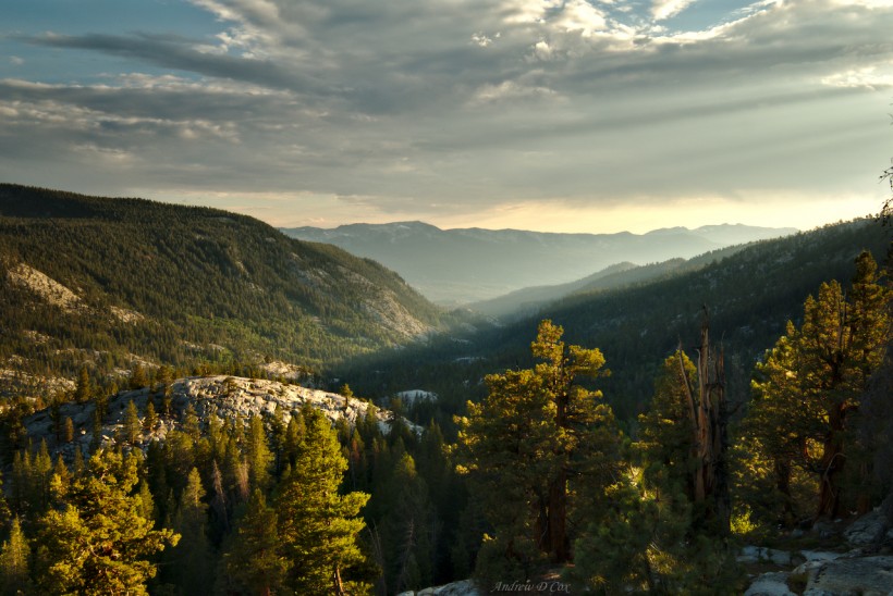
Once I have pulled on my socks and shoes, I continue up the John Muir Trail as it climbs above Lake Virginia. It soon levels out and I thoroughly enjoy a mile or two of flat, sandy trail; it’s so easy to walk quickly when the terrain is flat and free of obstacles! The flat trail eventually transforms into a set of switchbacks that snake down into a valley named “Tully Hole.” I’m not sure where the name comes from, but the views of this beautiful valley from above are stunning! The steep, snow-covered peaks of the Silver Divide tower over acres and acres of forest and the meandering Fish Creek.
I stride down the switchbacks, taking care to avoid slipping on the sandy path. I have a few close-calls, but manage to stay upright, mostly thanks to my trekking poles! After a summer of shake-down hikes and 60+ miles on the trail so far, I’ve really gotten the hang of augmenting my stability with the poles. Of course, that doesn’t mean I don’t regularly almost fall on my face… usually, nobody is there to see!
At the bottom of the switchbacks, the trail turns south and follows Fish Creek downhill. I pass a few campsites full of JMT hikers that are eating breakfast and enjoying the early morning sights and sounds of the forest. A few stretches of the trail are a little swampy, particularly when they venture close to Fish Creek. However, as I continue the slope increases and the terrain becomes much rockier. The John Muir Trail is graded for stock and, for whatever reason, the people that built and/or maintain the trail often construct the stairs for horse-sized steps. That is to say that some of the steps are as tall as my knees… Ascending these massive stairs is quite the workout, and descending is absolute murder on the knees and feet. However, with careful use of my trekking poles, I can use my arms to absorb the shock. The mechanics of this motion are very similar to walking with crutches; my feet swing down and land (relatively) lightly on the each step.
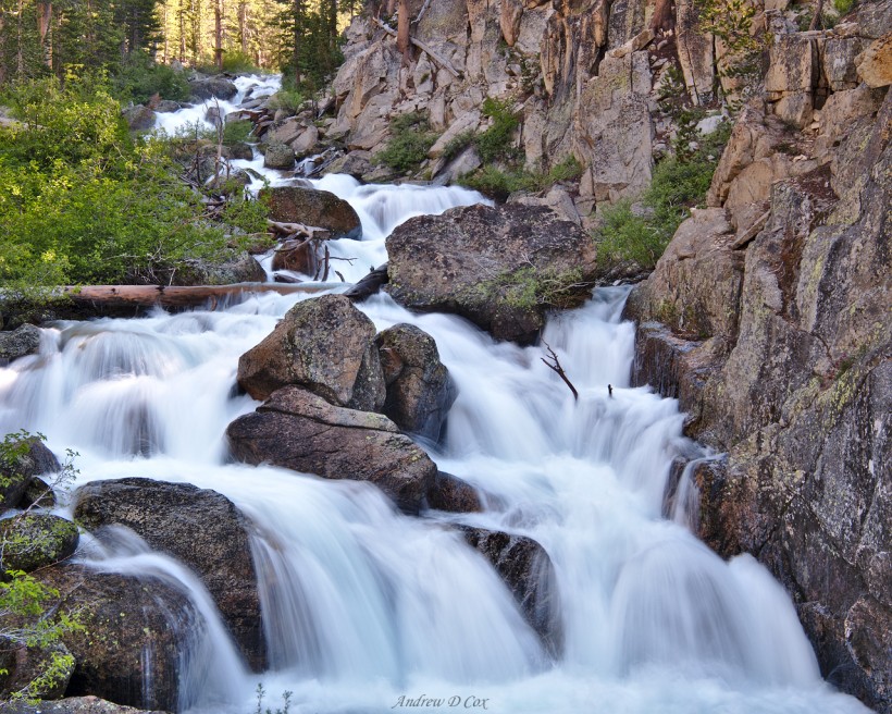
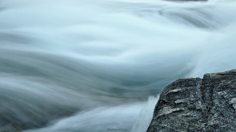
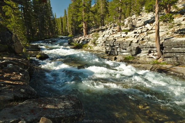
I soon reach a sturdy steel bridge that spans the raging water of Fish Creek. I can’t resist pulling out the tripod for a few long exposures to blur the water as it courses over and around rocks and fallen trees. However, ever present in the back of my mind is the nagging worry about reaching the pass and creek crossings before the afternoon when storms and higher water increase the risk of those traverses. So, after snapping a few photos, I stuff the tripod back in my pack and continue down the trail.
Just past the Fish Creek bridge, the trail reaches the bottom of the several-mile descent and begins to trend upward again. I flew up hills like this yesterday, but today I am much more sluggish. I’m not sure what the difference is, but I’ve experienced a similar phenomenon while training for long distance running races: some days are just hard for no apparent reason. Of course, I don’t often have such beautiful scenery to distract me.
For a while, the trail winds up switchbacks through a cool, dark, and damp forest. Swarms of mosquitoes gather around my exposed skin when I stop to catch my breath, so I try to keep moving. After haphazardly jumping across a rather wide creek, I exit the woods and hike out onto sunny granite shelves that slope upwards. Shallow streams of snow melt run down the path before trickling into a crack or cascading off the side into bushes below.
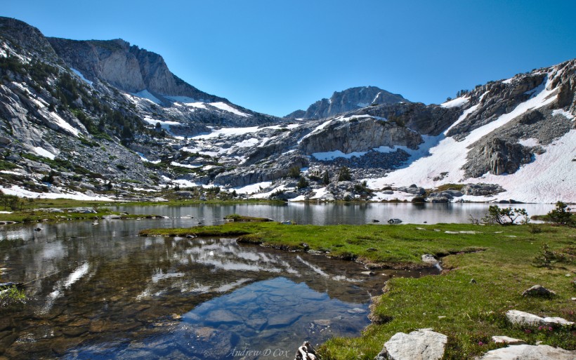
The granite shelves eventually lead me to a wide expanse of shining white stone. A few hundred feet in front of me lies Squaw Lake, a beautiful body of crystal clear water. There is no shortage of these gorgeous little jewels nestled between the meadows and snow!
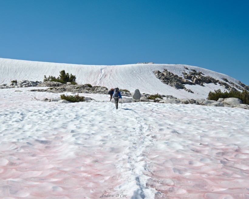
I hop across a long string of rocks to cross the Squaw Lake outlet and then continue up the trail toward Silver Pass. At the junction with the trail to Goodale Pass, the JMT dead ends into a 4-foot wall of snow. I make use of the steps kicked in by previous hikers and crunch along on top of the soft snow. The trail is buried, so I just follow the footsteps in the snow; the exact route is irrelevant at this point.
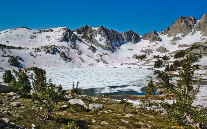
During the ascent, I pass Chief Lake, which is almost completely frozen. This surprises me – the elevation here is only a few hundred feet higher than Lake Virginia, and Lake Virginia was snow- and ice-free!
I trudge up a long slope of snow on the final approach to Silver Pass. The last 50 yards are steep and a little slippery. However, a fall on the way up would just result in a short slide to the flatter snow, so it isn’t too scary. Still, this is the steepest and most exposed snow I’ve crossed since Red Peak Pass and I sent my crampons home already. I rely on my trekking poles for extra stability as I place my feet carefully in the footsteps of other hikers.
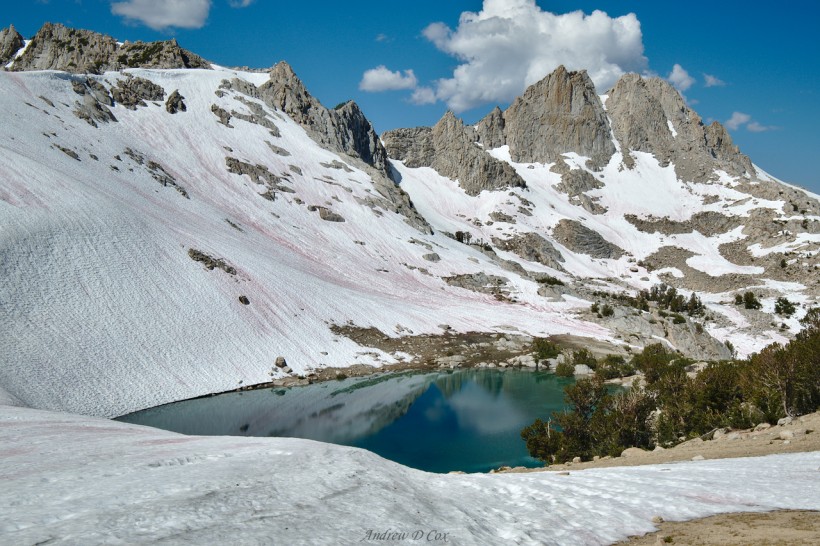
Then, just like that, I’m at the top of the pass! The snow levels out and then abruptly ends on the southern edge of the saddle. No complaints here! I prefer going uphill on the snow; it’s tough to avoid slipping on the way down. Immediately below the pass is a gorgeous emerald-green lake surrounded by white snow and granite spires. I consider going out of my way to reach the shores (and take photos, obviously) but decide against it in the interest of time.
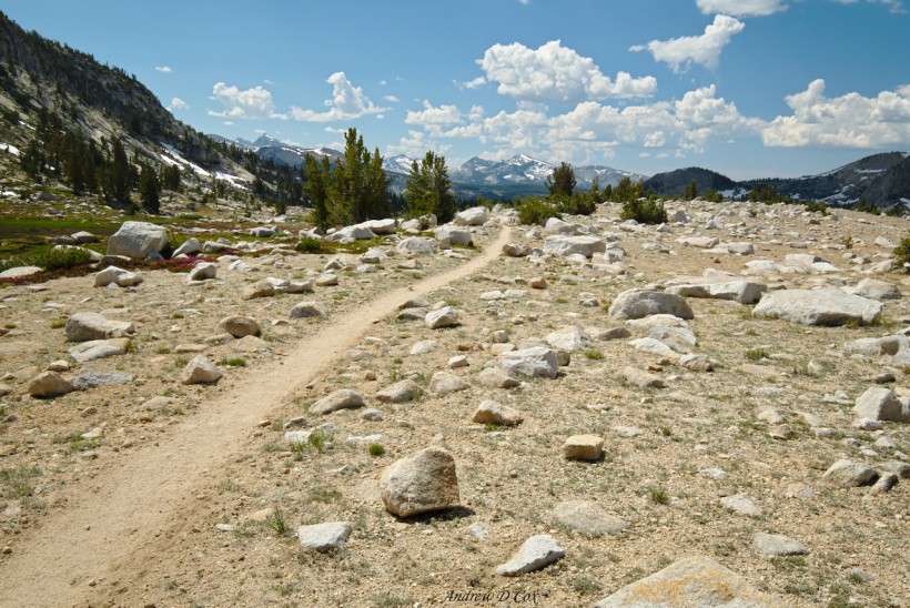
Beyond the snow, the thin single-track trail winds between rocks and scrubby trees and then disappears as it descends, leading the eye directly to the distant snow-capped peaks beyond. Happy to have traversed Silver Pass and to be back in my favorite ecological zone, I stride on down the trail and begin the descent toward Silver Creek.
There are actually three Silver Creek crossings. The first two occur up here in the high country where the creek is relatively small and are easy to cross thanks to numerous rocks and logs. For the first time today, I cross paths with a few PCT thru-hikers. They’re fairly easy to spot: they and their gear are worn and dirty, and they move really quickly. Some of them are in too much of a hurry to stop and chat, but others don’t mind taking a few minutes to exchange stories; they’re interested to hear about the trail I’ve just hiked and vice versa. Every once in a while, another hiker mistakenly assumes I’m a PCT thru-hiker, which I take as the highest compliment; in my mind, at least, being a thru-hiker is synonymous with having experience, being efficient, and being a total badass.
Back to those creek crossings: After chatting with a few hikers, I reach the edge of a cliff. The trail snakes down the face in tight switchbacks and, to my left, Silver Creek hurls itself into the air and cascades down toward the valley below. Somewhere down below is the infamous Silver Falls crossing. There’s only one way to go: downward!
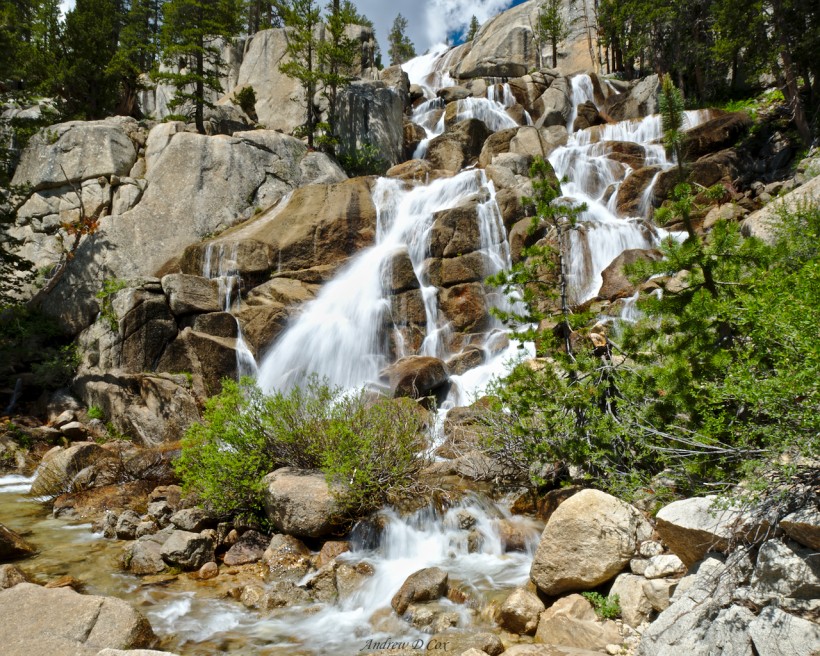
I reach the crossing with great anticipation. The falls themselves are impressive, cascading over massive boulders to a pool through which the trail passes. Only a few feet further downstream, the creek continues its tumultuous path toward the valley floor. The crossing itself proves to be a piece of cake; the danger is all in my head. There are massive boulders between me and the steep slope downstream, so there is very little risk that I could be swept away. Additionally, the water is only knee-deep. I suppose there’s a risk I and my gear could get pretty wet if I slipped and fell, but that’s about the extent of it. Once on the other side, I plop my pack down on a wide rock, grab my camera and tripod, and wade back in to snap some photos; I can’t pass up an image like this!
The rest of the descent to the North Fork of Mono Creek is uneventful, just more switchbacks. Mono Creek itself is a formidable crossing. The water is at least thigh-deep and very fast. I don’t waste much time staring and slowly wade through the rushing water to the other side where several other hikers are changing out of their creek-crossing shoes. While I wring out my shoes and socks on the other side, a PCT hiker approaches from the opposite direction, takes about 10 seconds to inspect the creek, and then hops across a few rocks and arrives on the other side with completely dry feet. I vow to spend a little more time searching for rocks and logs at creek crossings in the future.
With the Mono Creek and Silver Creek crossings behind me, I have no more constraints on my day! I continue down the trail, walking alongside Mono Creek as it tumbles downhill toward Lake Thomas A Edison. Any elation I’m experiencing, however, soon evaporates as I descend through exposed rocky talus. It is extraordinarily hot and dry and the uneven footing can be jarring. I meet an older couple hiking in the opposite that dejectedly ask me how much further they have to go to reach shade. I tell them not too much further but think to myself, it will be a while…
Some 30 or 40 minutes later, I’m grateful to reach the shade of tall pines. Here, the path crosses the North Fork again. Under the dense forest foliage, the stream is much wider and looks easier to cross. However, with the memory of the prudent PCT hiker fresh in my mind, I explore a little further downstream and discover a massive tree that has fallen over the entire river. The trunk must be at least 10 feet in diameter! With a little effort, I scramble up onto the trunk and cross the creek high above the gurgling water. On the other side, I rejoin the trail and continue walking, pleased to have kept my shoes dry.
After a short stroll through the woods, I reach the final Mono Creek crossing, this one facilitated by a sturdy wooden bridge. Two hikers are seated cross-legged in the dirt, munching on tortillas and summer sausage. I ask if I can join them and, with their consent, drop my pack, sit down in the soft dirt, and lean against a sturdy pine tree. Both of them are section hiking the PCT from Agua Dulce to Tahoe and are from the east coast. We bond a little over our shared love of the Dolly Sods and I pick their brains about the trail ahead. I learn that the ferry to and from Vermilion Valley Resort (VVR) only picks up from this side of the lake twice a day: once at 9:45 AM and once more at 4:45 PM. I was toying with the idea of spending the night there, but I don’t want to get that late of a start tomorrow. I could stay here, but the map warns that this area is “prone to bear raids.” Looks like it’s more walking for me!
I part ways with the thru-hikers and cross Mono Creek for the last time. Right away, the path is back in the sun and I grumble a bit to myself about the dust and heat. Seconds later, I round a curve and walk into a meadow of tiny yellow wildflowers waving gently in the breeze. Touché, John Muir Trail; I’ll stop my complaining and appreciate the beauty.
A brief inspection of the map reveals that, if I continue forward, I have to climb about 2000 feet before reaching any viable campsites. Determined to reach a campsite with a nice view, I push on with a second wind. The next five miles of trail lack water access, according to the map, so I take care to fill up my bottles at the last stream crossing.
As I stride up the switchbacks, a light rain begins falling. I don’t have a pack cover to keep everything dry, but I’m not too worried. I pack my sleeping bag in a waterproof stuff sack, my extra clothes are stored in a plastic garbage bag, and my electronics are all sealed in ziplock bags. Everything else in my pack can get wet. Besides, the rain is barely more than a drizzle here beneath the pines.
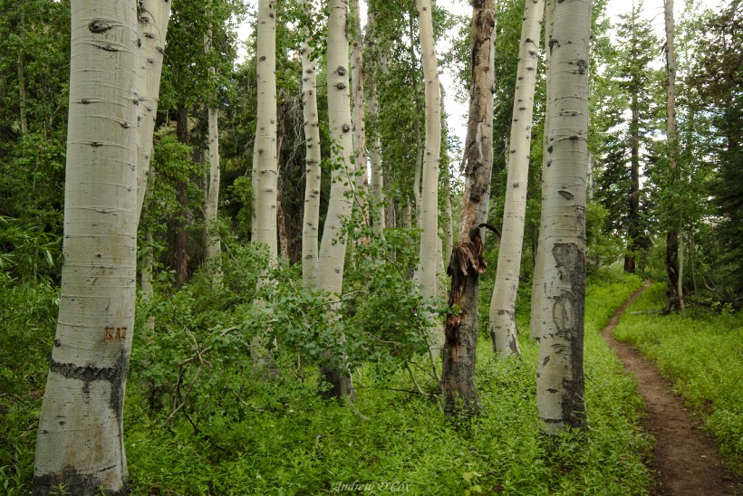
The rain lasts for most of the climb; I’m grateful for the cool mist and also for the temperature change carried in by the afternoon showers. As I trek through a beautiful grove of aspens, I’m annoyed to discover another leave no trace violation (in addition to those campsites yesterday): people have carved their initials, among other things, into the soft bark of the aspens. What a blatant disregard for the spirit of the John Muir Trail, not to mention the wilderness experiences of other hikers!
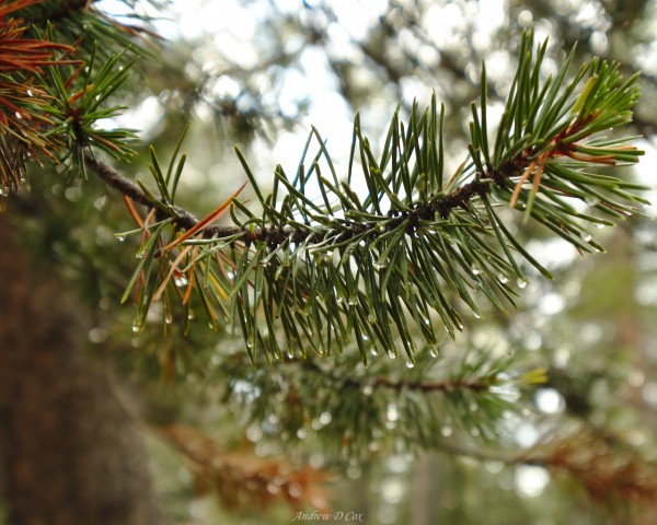
The rain peters out as I stride upwards and the grade gradually decreases. The only sign it has rained are small puddles in the center of the trail, but even those are quickly disappearing as the dry soil absorbs the moisture. A few droplets cling to the pine needles and glitter in the diffuse light like tinsel on a Christmas tree.
Soon, I reach the top of Bear Ridge. What a relief to be done with that long uphill stretch! My feet and legs ache, even on this level section, so I stop and sit for a few minutes on a fallen tree. While I rest, I examine the map and determine that I only have another mile or two until I reach a campsite on the south side of Bear Ridge. With any luck, the campsite will have wonderful south-facing views for sunset.
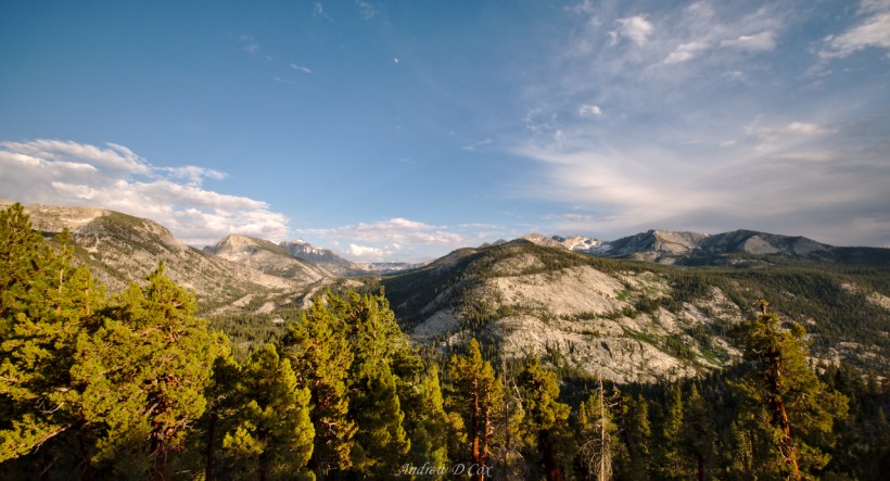
The final few miles are mostly flat (thank the gods!), though there are a few stretches of thick mud where streams coincide with the trail for 30 or 40 feet. At last, I reach a beautiful campsite perched on the edge of the slope. Most of the landscape here consists of wide granite benches, but small sandy patches are littered between them. I pitch my tent on one of these patches underneath a towering Juniper tree. As I hoped, the view to the south is spectacular: I can see for miles and miles, and the standard Sierra Nevada landscape – granite and pines – is breathtaking. The rain clouds slowly clear while I set up camp, and I eat dinner while gazing out across the mountains.
With a warm meal in my stomach, I set up my camera and tripod and alternate between stretching out my aching muscles and taking photos. There’s something inherently perfect about stretching on a granite boulder while watching the evening light play across the mountain landscape.
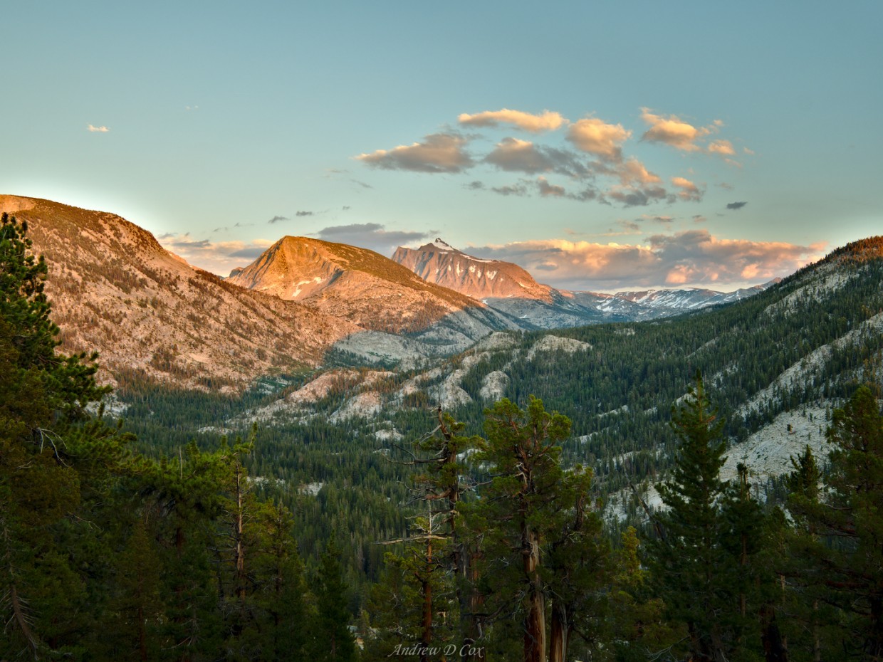
As the sun sinks lower in the sky, the light warms and alpenglow creeps up the peaks to the south. I have trouble deciding which composition I like best and move my camera several times to capture different scenes. Photographing the sunset has become an evening routine for me: set up camp, cook dinner, find a composition, and click the shutter until the color fades.
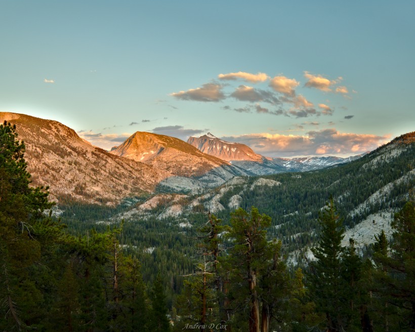
A few north-bound (NOBO) John Muir Trail hikers set up camp nearby a little while ago. They didn’t seem very interested in talking, so I left them alone after asking them a few questions. I suppose they must be tired because they’ve been in their tent for a while, but I cannot imagine why anyone would choose to miss this sunset!
With a few dozen sunset photos captured on the camera’s SD card, I fold up my tripod and crawl into my own tent. Stretching out in the soft folds of a sleeping bag is one of the most glorious feelings in the world, and I drift off to sleep with a smile on my face.
Bear Creek and Selden Pass
August 2, 2017 | 16.8 mi | +2300 ft / -4300 ft | View On Map
My morning walk begins with a nice downhill stretch that lasts until I reach Bear Creek. I think “river” would be a more fitting title than “creek”; the water is wide, swift, and deep by Sierra standards. There’s a reason the Bear Creek crossing is infamous among John Muir Trail thru-hikers; it can be dangerous! Thankfully, I will walk several miles upstream before crossing. With any luck, the river will be less intense at the designated ford.
I walk parallel to Bear Creek for two miles, appreciating the gentle slope and the white noise of the rushing river. Along the way, I pass a junction with the trail to Italy Pass; my favorite backpacking trip last summer was up that direction to “Granite Park,” an alpine wonderland. I plan to return to the lakes near Italy Pass via the Sierra High Route at some point!
Just past the sign to the Italy Pass trail, I reach the Hilgard tributary of Bear Creek. It doesn’t look like a difficult wade, but the water splits between dozens of tree islands a hundred feet upstream so I push through the trees to investigate, hoping to avoid wet feet. Despite the many islands, they are all just far enough apart that there’s a fair chance I’d slip and get wet. Rather than risk an uncontrolled fall into one of the rushing creeks, I walk back to the wider Hilgard fork and cross barefoot on the sandy creek bed.
With socks and shoes back on, I continue up the trail, still parallel to Bear Creek. Another mile or two of easy walking brings me to the Bear Creek crossing; it’s a formidable one! The water looks like it will be at least mid-thigh on me, and it is moving very quickly. I spy a few campers just upstream, so I walk over to them and ask if they know of any alternate crossing locations. They tell me about a massive fallen tree just a hundred yards downstream that makes the ford a trivial one.
It is obvious that many hikers have crossed via this route; the use trail is clear through the riverside meadows and leads me directly to the tree. I have to do a little wading, but the water is shallow and slow (and freezing). Safely on the opposite bank, I walk back upstream, again on a well-defined use trail, and rejoin the John Muir Trail at the official ford location.
From the river crossing, the trail trends upward. I’m quickly out of breath and sweating heavily in the hot sun. The breeze occasionally picks up and cools me off, and the towering face of Seven Gables offers a distraction for my mind as I huff and puff up the switchbacks. About one mile beyond the Bear Creek crossing, I make a flying leap across the West Fork and stride into beautiful mountain meadow. The beautiful views are a fine reward for the climb!
Surrounded by lush grass, granite spires, and beautiful pines, I continue up the single track trail. I’m in no rush today, so I stop to photograph the landscape whenever I feel like it. I soon reach Marie Lake, a gorgeous body of water littered with islands of all shapes and sizes. There’s a fisherman on a distant shore trying their luck; I walk over to the nearest bank and gaze into the clear water for a while. I could stop here and jump in – a bath sounds nice – but I’m a little anxious to make it over Selden Pass before any afternoon weather brews up, so I continue up the trail after snapping a few photos. I’ll come back to visit you some day, Marie Lake!
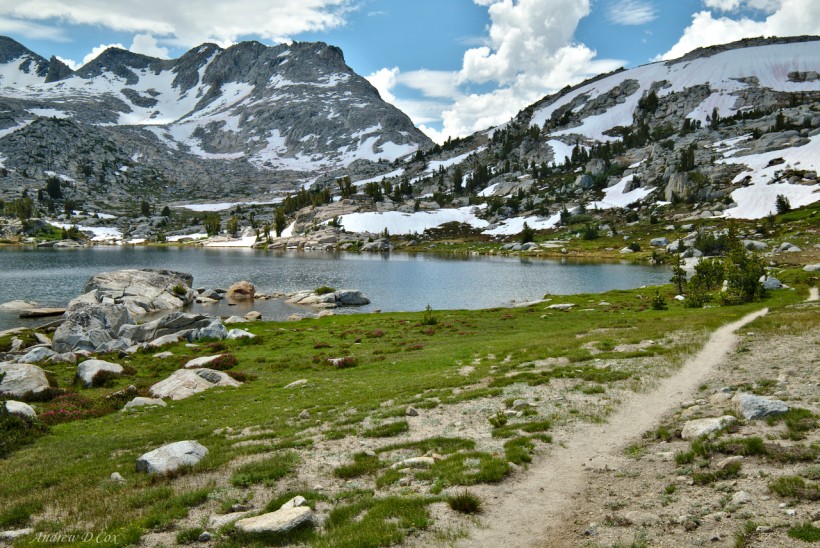
The ascent to Selden Pass is the most adventurous hiking I’ve done so far. As the trail ascends above Marie Lake, I walk across several snow fields that still cover the trail and splash through snow melt trail-rivers. Higher up, the snow completely covers the trail and the switchbacks. Rather than climbing straight up the snow, I do a little scrambling on exposed boulders to reach the top of the pass. I thoroughly enjoy the change of pace, although I’m sure there’s an easier route around here somewhere if I took the time to look.
A little out of breath, I drop my pack in the sand at the top of the pass and sit down for a rest and lunch. And what a great spot it is! To the north, Marie Lake and its islands catch my eye. To the south, snowbound Heart Lake glistens in the sun; I’ll be down there soon!
After eating my lunch ration, I haul my pack up and begin down the sandy switchbacks. Several large snow fields cross the trail, but they are soft and easy to traverse this late in the day. Down at the level of Heart Lake, I hop across the inlet delta via scattered rocks and turf islands to a snow shelf that overhangs the lake. From the looks of things, previous hikers crossed this shelf much closer to the current drop-off. I take a higher route and avoid the lip that hangs over what I’m sure is frigid water.
Once again on dry land, I pick up my pace a little bit and walk toward the bottom of the lake. I meet a few day hikers with their dog and chat with them for a few minutes. I assume they’re staying at Muir Trail Ranch, the nearest point of civilization.
The descent to the Sallie Keyes Lakes is lovely. The trail threads through granite outcroppings and small meadows next to the stream that flows down out of Heart Lake. From one such outcropping, I get a glimpse of the Sallie Keyes Lakes and make up my mind to stop there and do a little swimming.
A narrow, tree-covered strip of land separates the lakes; they are only linked by a small stream on the northern edge. There are plenty of large rocks in the stream, and I easily hop across to the chagrin of a hiker struggling to locate a crossing. I stop at the first camp site I see and set up my tent sans rain fly so that I’ll have a safe haven from the mosquitos. I also string up a rope between two nearby trees and then walk down to the lake and wade in. The water is freezing (surprise…) so I don’t stay in for long, but it sure feels nice to wash a little of the dirt out of my clothes!
After a short swim, I hang my clothes up to dry and stretch out in my sunny tent for a bit. I peruse the map while relaxing: only a few more miles to the campsites on the ridge above Muir Trail Ranch!
Once I and my clothes are dry, I pack up and continue down the trail. To cross the outlet stream, I balance on a partially submerged log and carefully walk to the other side. On the other side of the outlet, the trail descends gently through a dense pine forest parallel to a large, open meadow. I don’t see any wildlife, but I’m sure it’s a popular grazing area during the cooler parts of the day.
The trail gains and loses elevation in spurts for a little while, cresting a ridge here, descending to a small meadow there. One of the meadows is particularly swampy and I resort to jumping between the pointed tops of small rocks and treading carefully on partially submerged tree branches to keep my shoes and socks dry. It’s a fun game to play, particularly when the stakes are only wet shoes.
As I’m walking past a campsite on the edge of the ridge with a fantastic view of Mount Henry, I have a terrible realization: I left my rope strung between those two trees. My mind battles between conflicting desires: I don’t want to lose the rope and leave what amounts to trash in the wilderness, and I really don’t want to walk all the way back to get it; it must be two miles!
In the end, I decide to go back and get the rope. I hide my pack behind a massive boulder a little off the trail and put all my scented items in the bear can nearby. Then I walk as quickly as I can, occasionally jogging, back to the site near Sallie Keyes. It drizzles a bit while I hurry to the lake, creating a mesmerizing sight of millions of tiny splashes across the water. Beneath the trees, I stay relatively dry as I untie the rope, stuff it into my pocket, and hurry the two miles back to my gear.
When I reach my planned campsite for the evening, just past the Senger Creek crossing, I’m thoroughly underwhelmed. I was hoping for more epic views like the ones I enjoyed last night, but it seems that is not to be. I would also like to get a little closer to Muir Trail Ranch (MTR) so that I don’t have to walk too far in the morning to retrieve my resupply. My plan is to hike all the way to Evolution Lake tomorrow to soak in what is supposed to be one of the most beautiful locations on the John Muir Trail. It’s a long trek from MTR, so I continue down the trail to find a camp site closer to the outpost.
Shortly after passing the location where I had planned on camping, the trail begins a steep, rocky descent. The loose rock is difficult to walk on and the continuous downhill slope is a bit mind-numbing. I’m in a thoroughly sour mood when I catch up with a PCT thru-hiker. I commiserate with her for a few minutes and then continue the descent in a slightly better mood. In my experience, one of the biggest benefits of having a hiking partner is the ability to vocalize and acknowledge discomfort, laugh about it, and move on.
Although I pass several viable campsites on the way down, I’m pretty much out of water and there are no nearby water sources. However, there is a campsite down by the San Joaquin River and is within a few miles of MTR, so I continue downward… ever downward.
I breathe a huge sigh of relief when I reach the spur trail toward Shooting Star Meadow and MTR: At long last, flat trail! Also, my legs, knees, hips, and feet all ache and I cannot wait to dump my backpack on the ground and stretch out. The walk to the riverside campsite feels longer than it looks on the map, but it probably doesn’t take more than five or ten minutes. I find a nice flat spot a polite distance from other campers and, after shedding my pack, proceed to stretch every muscle in my legs.
Next, it’s dinner time. I boil a cup of water, add it to a ziplock bag with dehydrated beans, veggies, and couscous, and then wait impatiently for the food to rehydrate. I think about all of the sights I saw and experiences I had today: the Bear Creek crossing, Marie Lake, Selden Pass. Today would have been much easier if I hadn’t left my rope back at Sallie Keyes and spent 90 minutes retrieving it… When my food is soft enough to chew, I chow down; even slightly crunchy beans and unevenly seasoned couscous are delicious after a long day of backpacking!
After eating my fill (every last morsel in the bag), I put away my cooking kit and meander over to the river to refill my SmartWater bottles and take a few photos. The South Fork of the San Joaquin tumbles by over a wide bed of smooth river rock, aqua green beneath an overcast sky. Looks like we won’t have much of a sunset tonight. Supposedly, there are some hot springs down the trail, but one must wade through the river to reach them. A pair of PCT hikers I met earlier today claimed that the crossing would really be more of a swim than a wade. I would love to soak in a hot spring, but I’m definitely not willing to swim across this swift, cold river both before and after the hot springs.
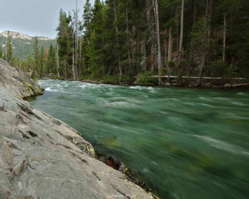
With a few photos documenting my stay here tonight and two bottles full of fresh water, I return to my tent and flop onto my sleeping bag and pad. I spend a little time studying the map and list of river crossings to prepare for tomorrow. The trek to Evolution Lake looks like a 17 or 18-mile hike. That’s a lot of distance, and I’ll be fully loaded with 8 days of food after resupplying at MTR. We’ll see how it goes; it could be a long day, but I cannot wait to admire the beauty of Evolution Valley and Evolution Lake.
I’m often asked what photography equipment I use to document trips like this one. On this particular adventure, I carried the Fuji X-T2 and Fujinon XF 10-24mm f/4 lens as well the Sirui T-024X carbon fiber tripod. See my dedicated gear post for a complete gear list.


Teri 18 September 2017
We did the JMT from Tuolumne to Whitney 7/27 – 8/14 …looks like we were in the same places for a couple days! Your pictures are AMAZING. Thanks for sharing! 🙂
Andrew Cox 19 September 2017
I’m glad you like the photos and that you were able to experience the trail this year; it was certainly amazing out there!
Christine Favro 19 September 2017
Excellent blog… makes me wish I was on the trail
Andrew Cox 20 September 2017
Thank you! I hope you’re able to make the time to get out there.
Brandon 28 September 2017
Loved your blog, and what beautiful pictures!!!! So jealous
What Camera or phone did you use to take the photo’s?
Andrew Cox 29 September 2017
Thank you! I shot every photo on this trip with a Fuji X-T2 and the 10-24mm lens. It’s a rugged and lightweight (compared to a full-frame DSLR) mirrorless camera system!